

You are here
Eddy Mountains

Location Name:
Parks Creek SummitRegion:
Mt EddyDate and time of observation:
Mon, 03/15/2021 - 9:00amObservation made by:
PublicRed Flags:
Recent avalanche activity
Whumphing noises, shooting cracks, or collapsing
Recent loading by new snow, wind, or rain
Location Map
96067
Mount Shasta
, CA
United States
41° 22' 10.7076" N, 122° 32' 30.5412" W
See map: Google Maps
California US
Snowpack Observations
Details
Photos
Weather Observations
Statistics
Cloud Cover:
100% of the sky covered by cloudsBlowing Snow:
YesPrecipitation:
SnowAccumulation rate:
Greater than 1 in. per hourAir temperature:
Below FreezingAir temperature trend:
WarmingWind Speed:
ModerateWind Direction:
Northeast

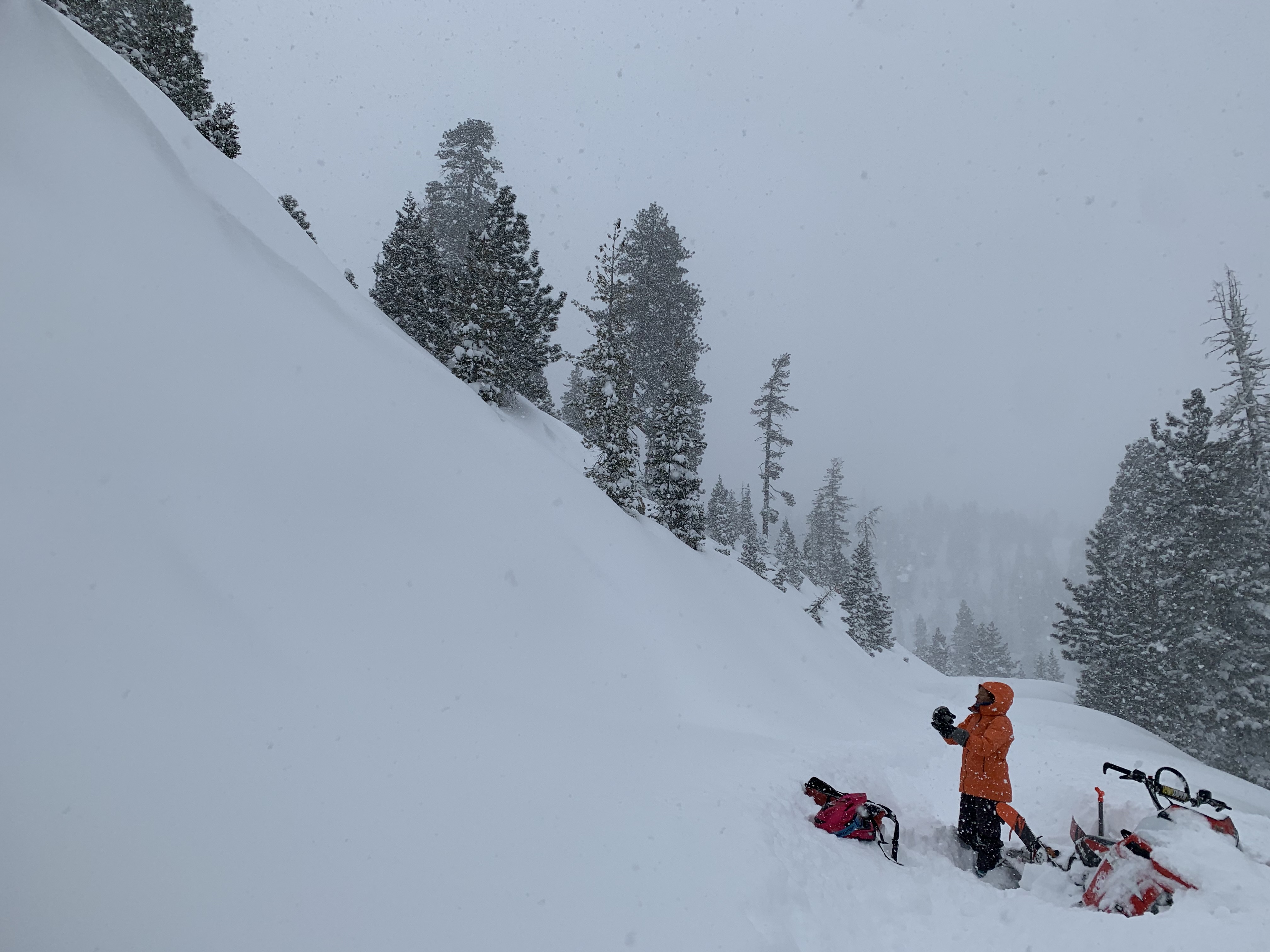
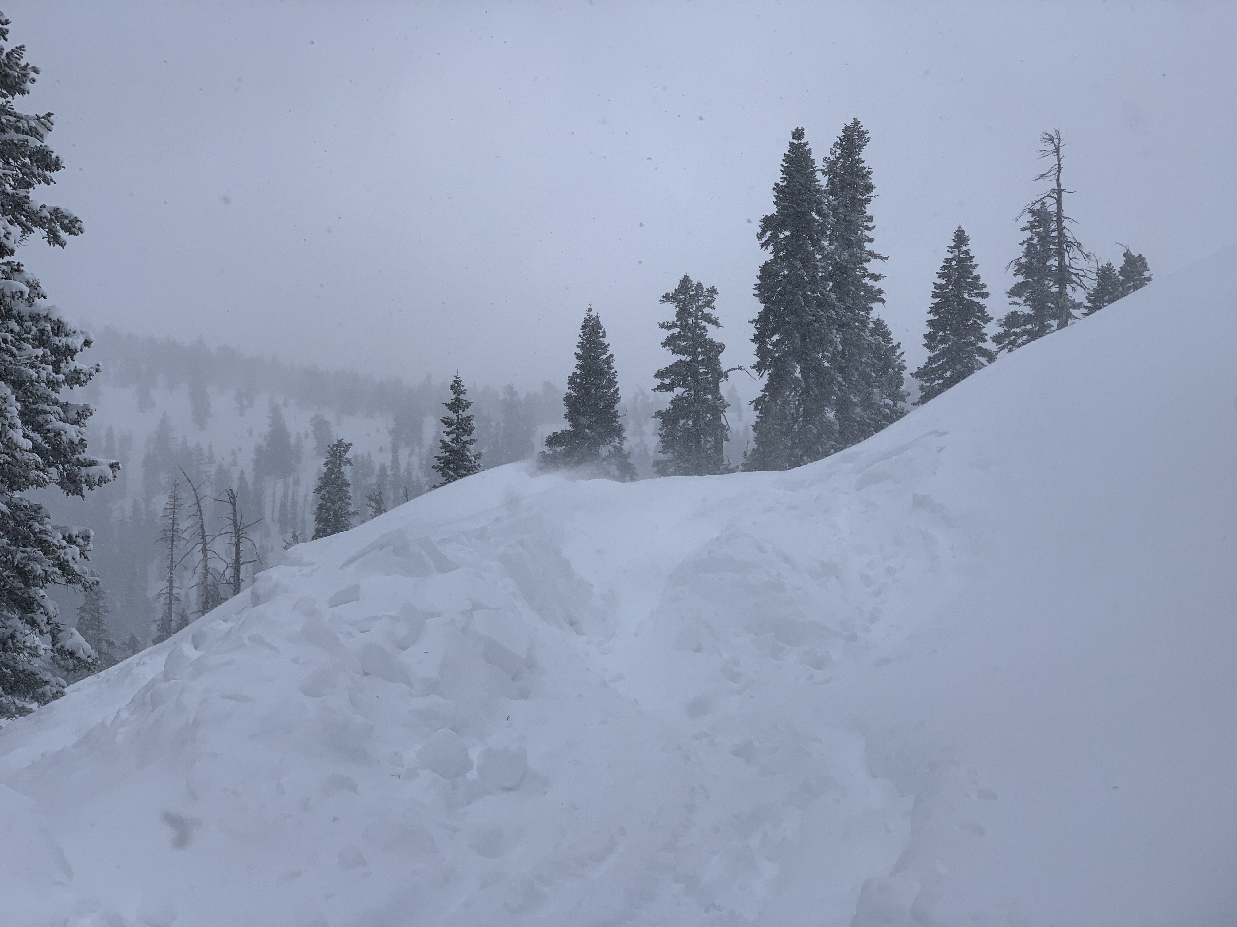
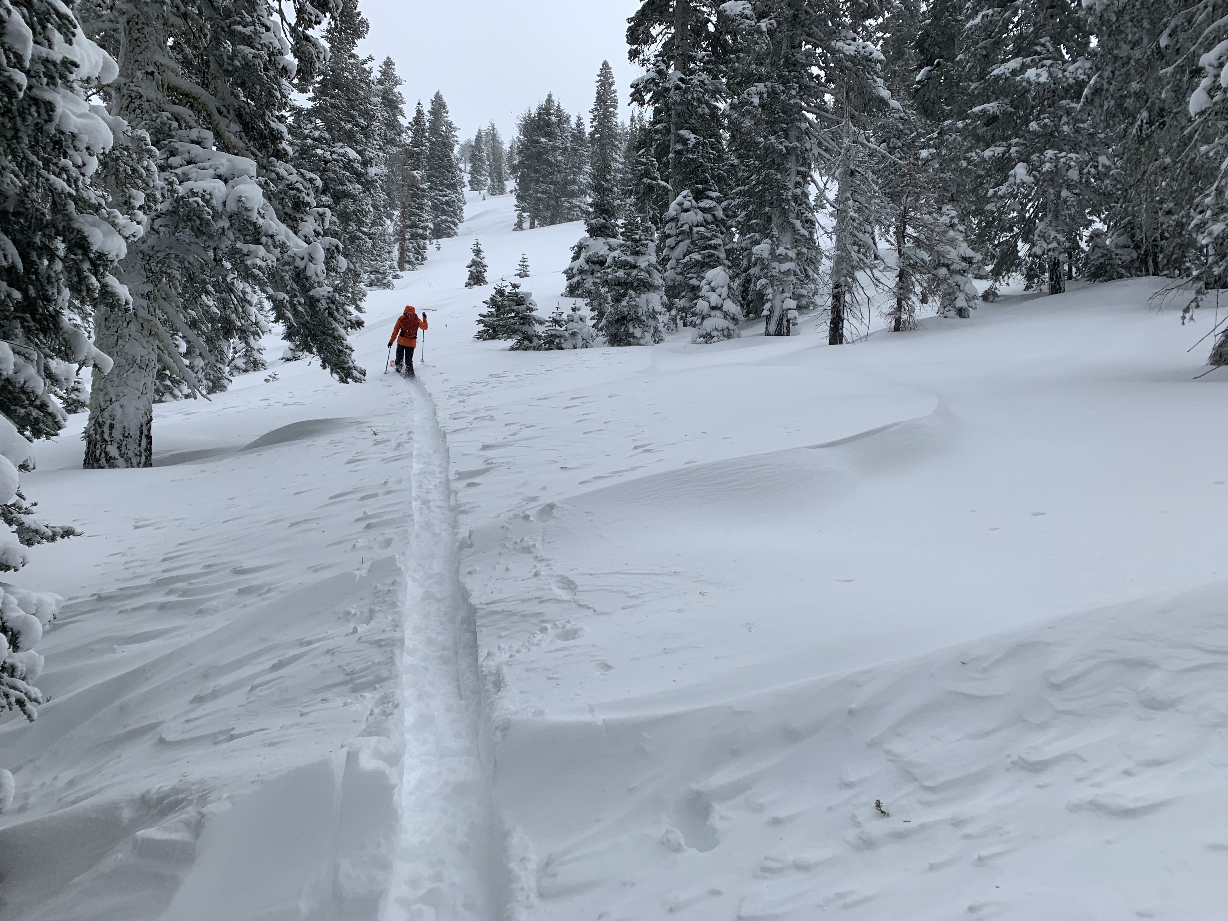
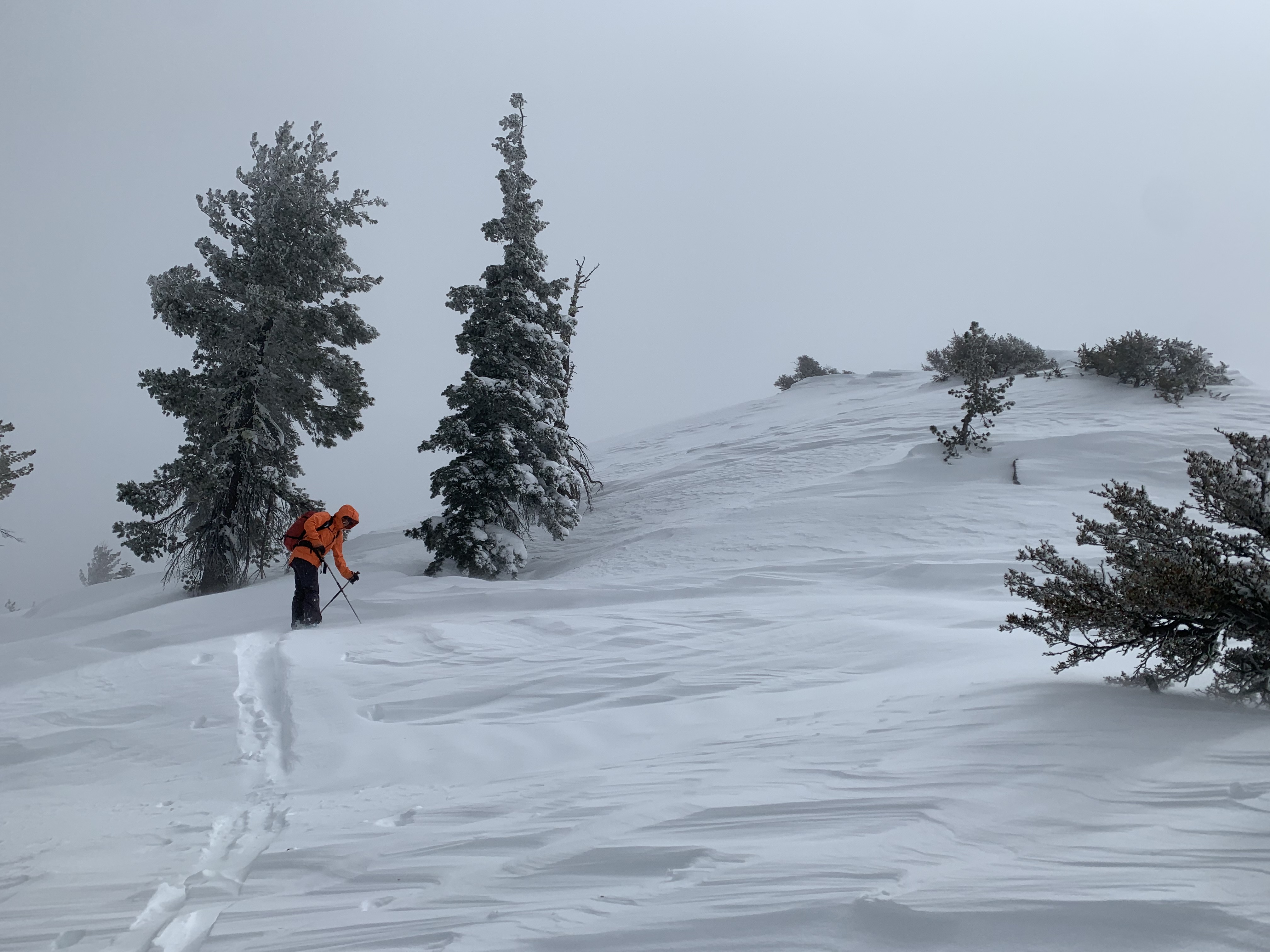
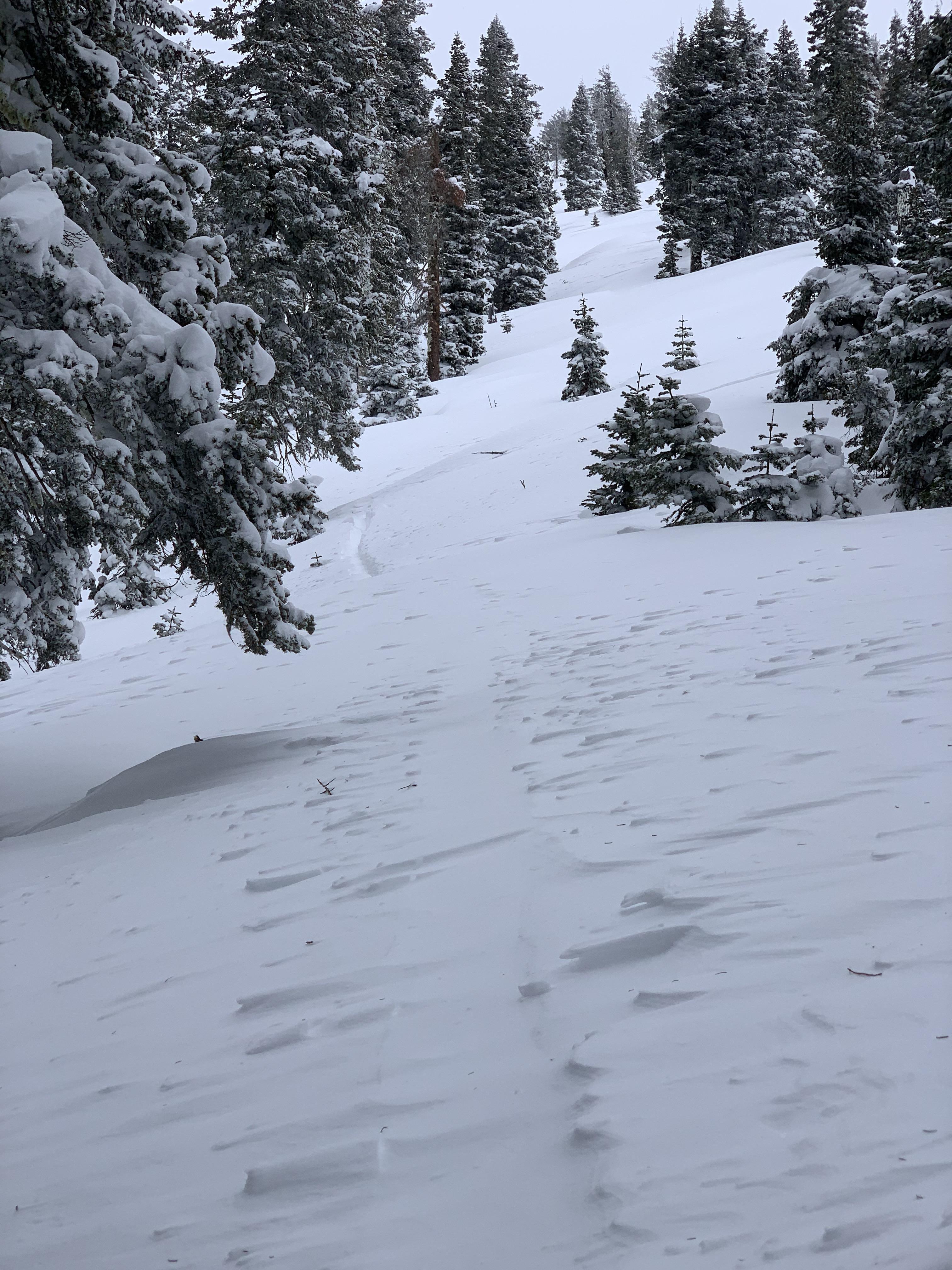
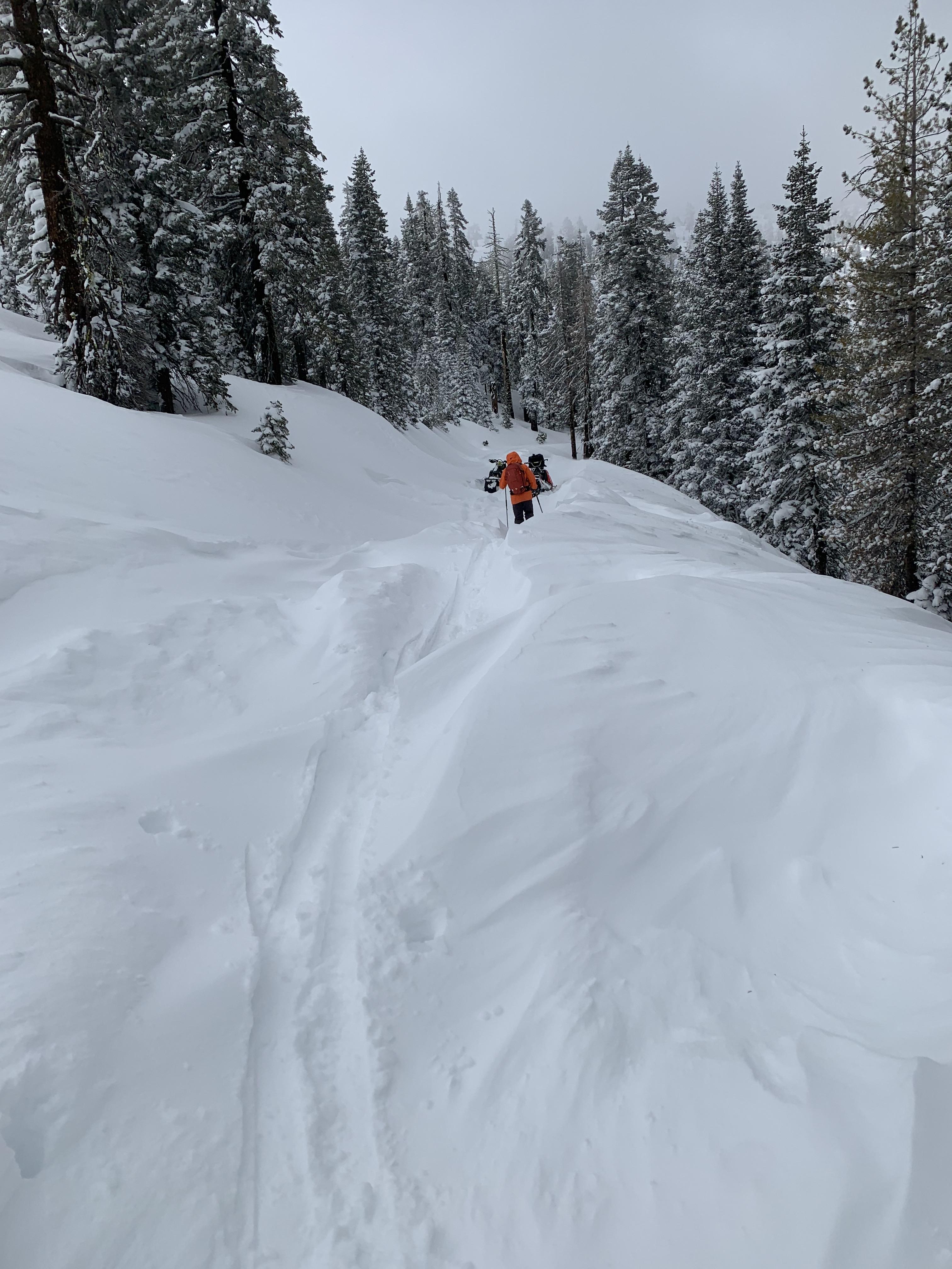
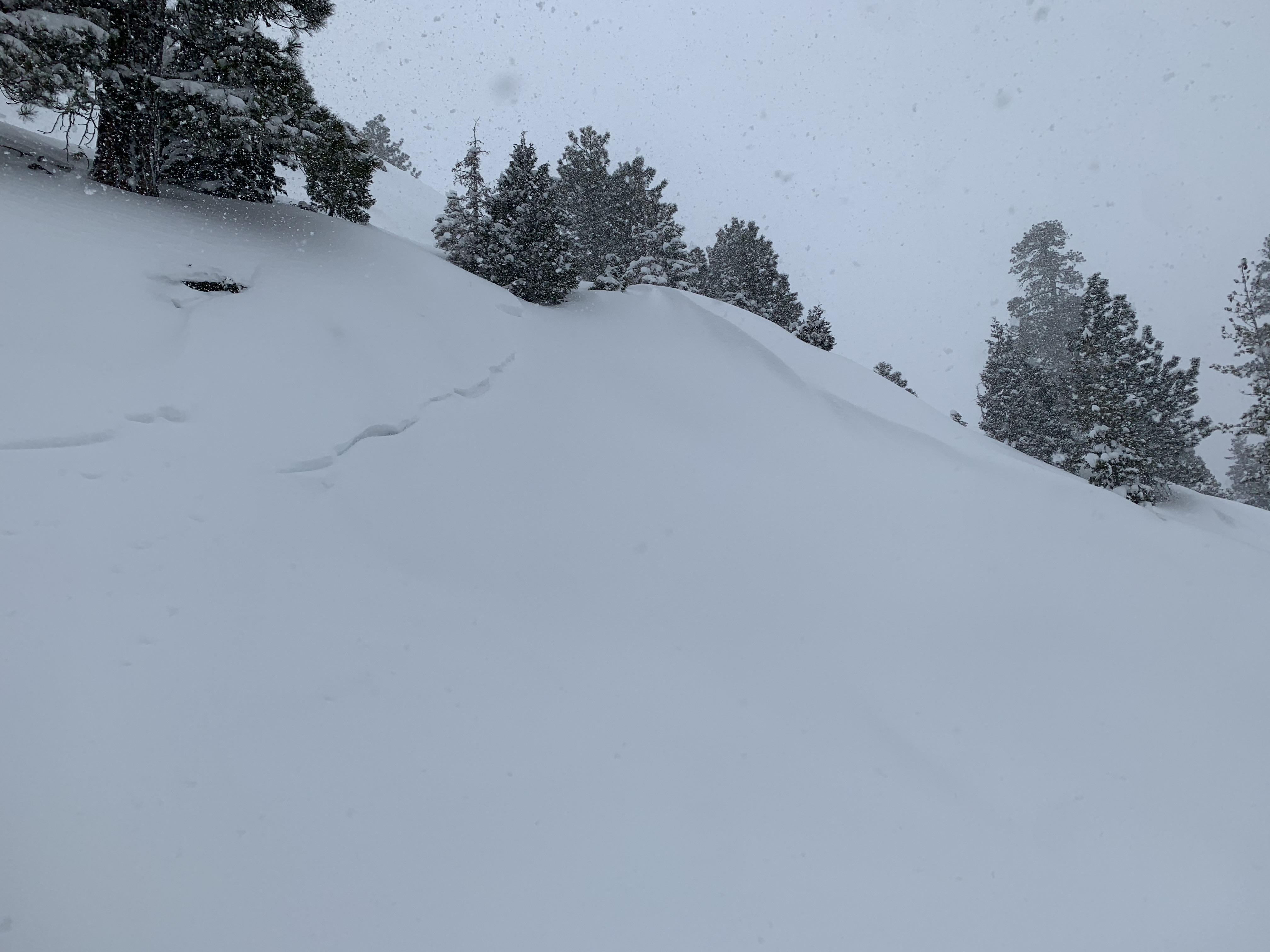
Eddy Mountains, Parks Creek Summit area. Many red flags of danger today. Snow to valley floor. Observed 1.5-2 feet of new snow near the top of Eddy Creek drainage and in the area. Drifts to 4 feet. Windy, NE to NW. Tons of blowing snow, shooting cracks, large and deep, hollow wind slabs. Skin track blew back in within the hour. Arduous trail breaking. A total wallow. A couple D2 natural avalanches that crossed the road on the way up. Storm began to break mid-day. Donut holes of blue sky. Filtered sunlight and obscured skies for most the day. The new snow was very low density and deep. One of the higher avalanche danger days of the season. We stuck to lower angle terrain.