

You are here
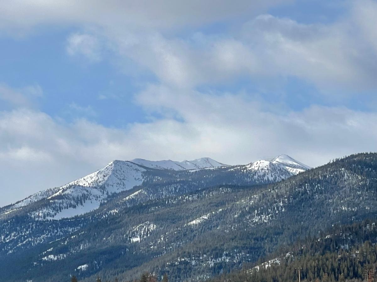
Eddy Mountains - Touchy Cornices & Wind Slabs
Location Name:
Deadfall Lake / North Fork SacRegion:
Mt EddyDate and time of observation:
Fri, 03/24/2023 - 11:30amObservation made by:
ForecasterRed Flags:
Whumphing noises, shooting cracks, or collapsing
Recent loading by new snow, wind, or rain
Location Map
96067
Mount Shasta
, CA
United States
41° 19' 4.4904" N, 122° 28' 45.948" W
See map: Google Maps
California US
Snowpack Observations
Details
Photos
Weather Observations
Details
24-hour weather data from Mt Eddy weather station, issued 3.24.23 at 7:30pm
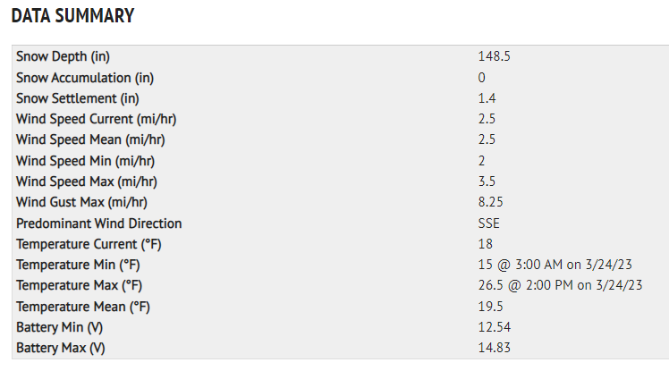
Statistics
Cloud Cover:
75% of the sky covered by cloudsBlowing Snow:
YesPrecipitation:
SnowAccumulation rate:
Less than 1 in. per hourAir temperature:
Below FreezingAir temperature trend:
CoolingWind Speed:
ModerateWind Direction:
West

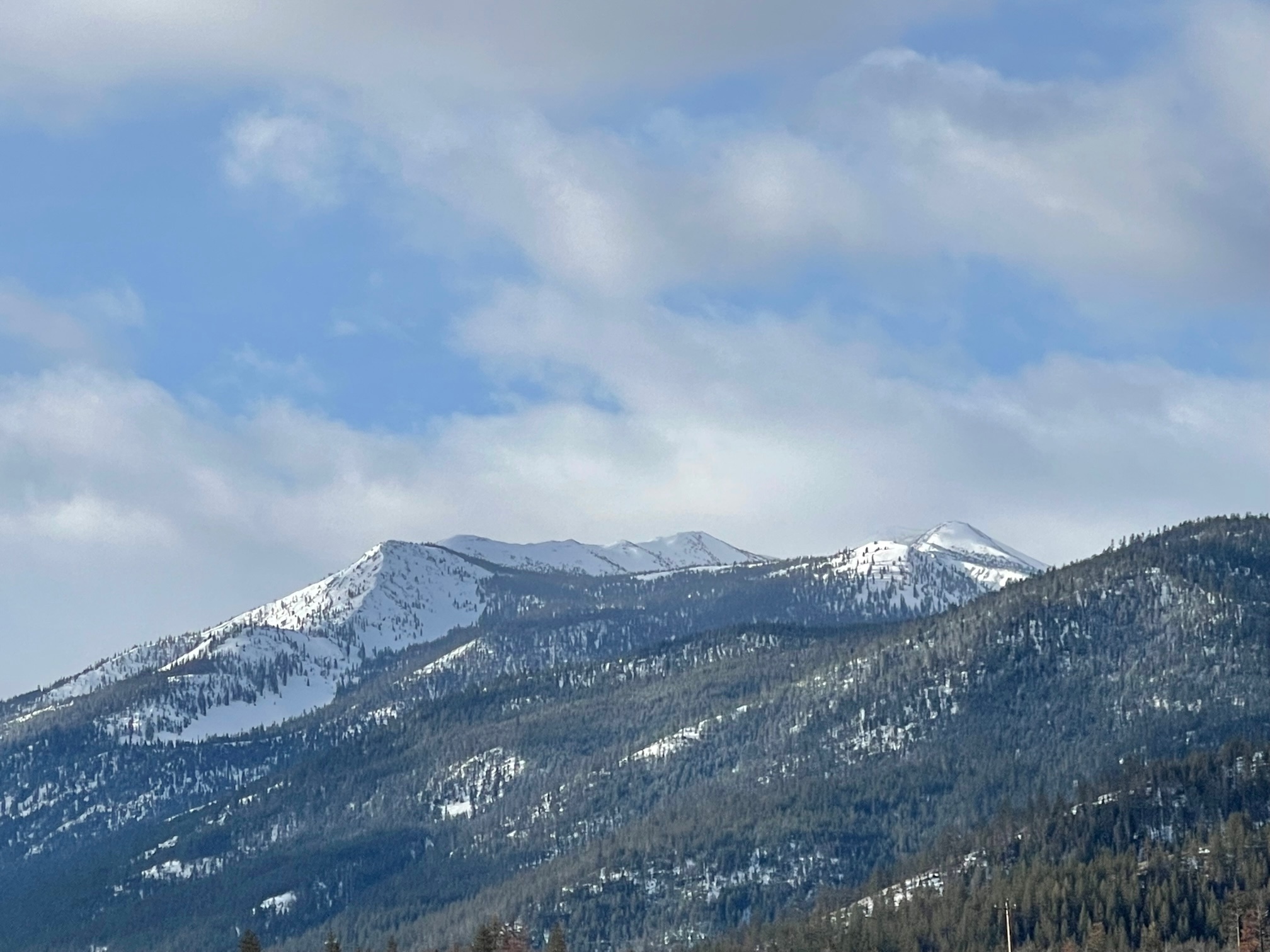
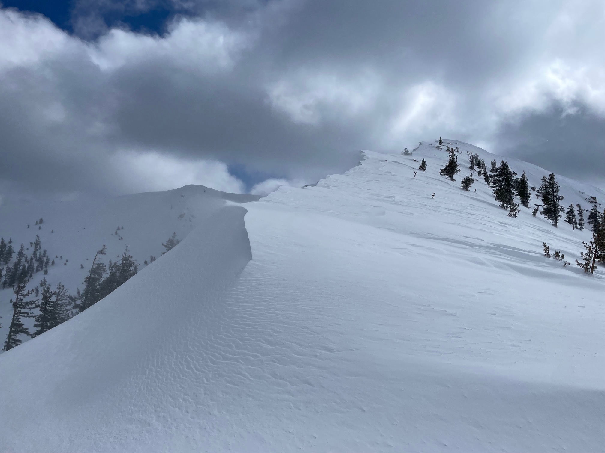
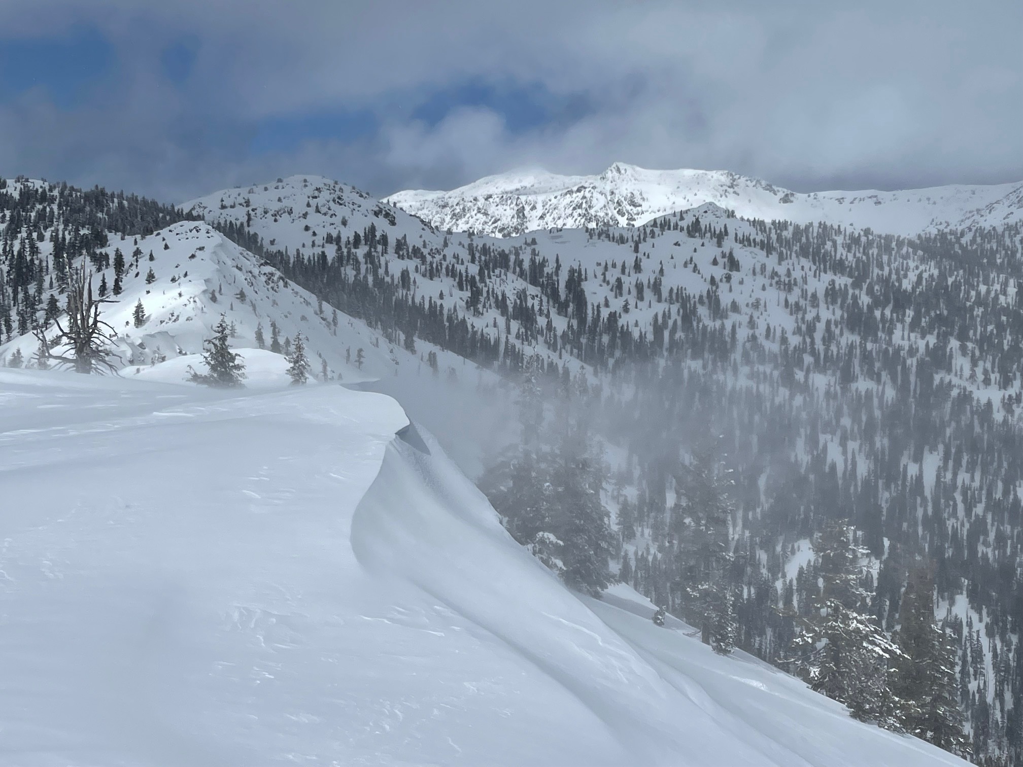
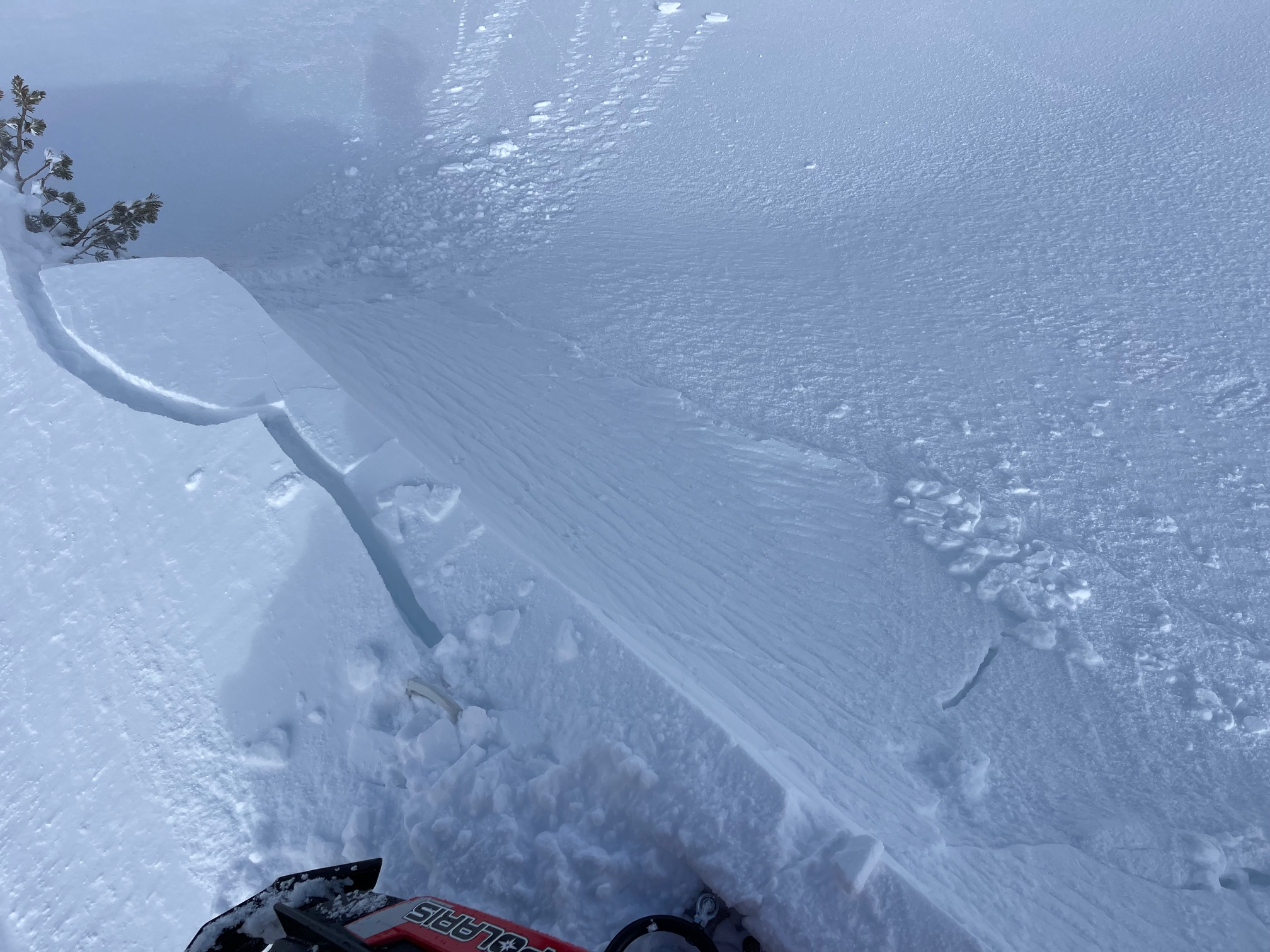
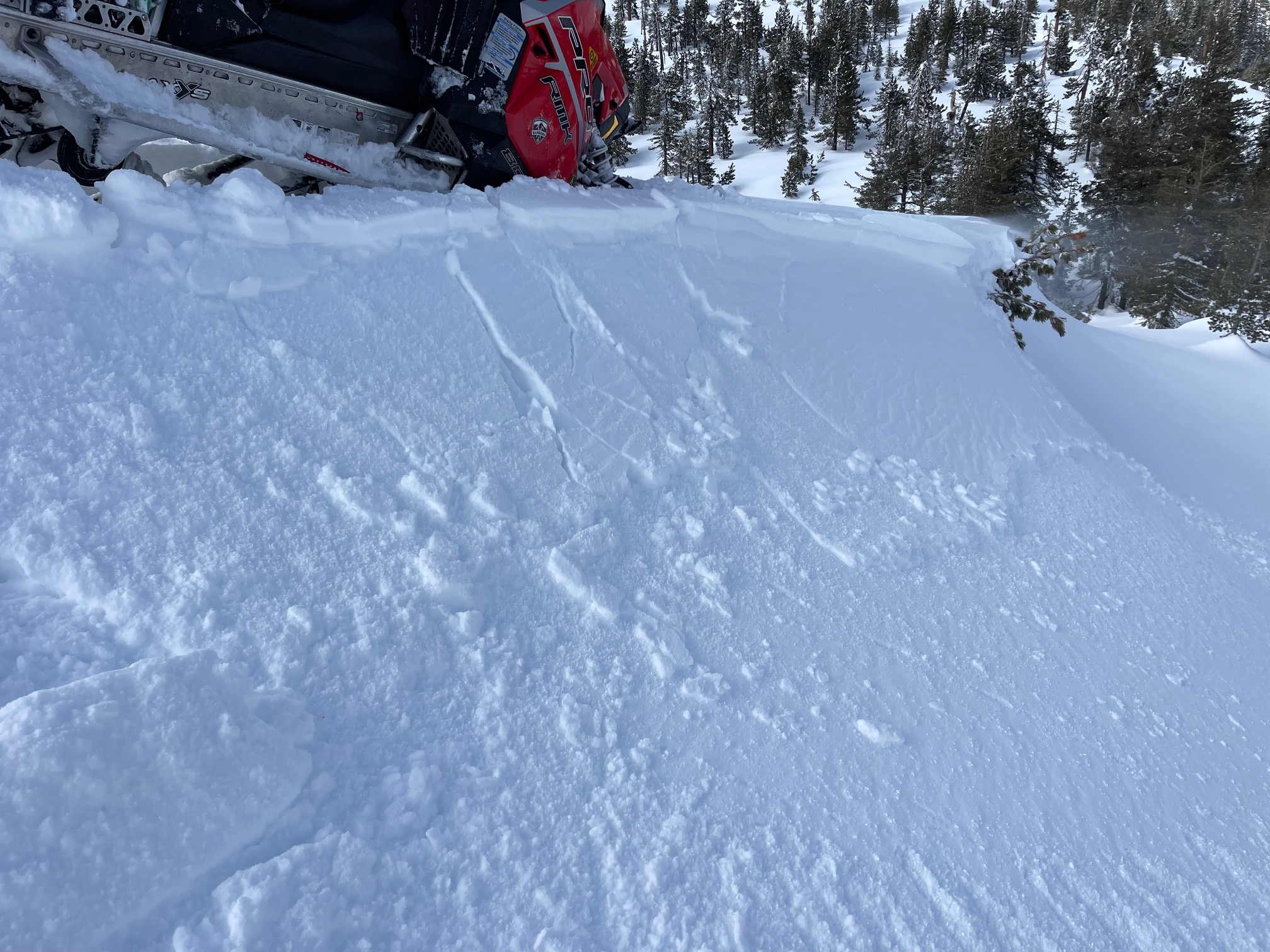
Three struck out for Deadfall Lake and the North Fork of the Sacramento snow survey today. The day was characterized by obscured sky, light snowfall, west wind and chilly temperatures. A steady, moderate west wind was moving plenty of light snow around onto leeward easterly slopes. Touchy wind slabs and cornices were plentiful along ridge lines. We are still finding a lot of spatial variability in new snow depths. New snow ranges from just a couple inches, to upwards of ten inches. Layers of concern remain in the top foot or so of the snowpack. It's a crust sandwich, with the in between, soft snow. New snow is cold and low density. On top, a sprinkle of graupel was observed in areas. This setup isn't much of a problem now, but could be with a large loading event like the storm arriving Monday. Today's main avalanche problem was wind slabs and cornices along any terrain that received the west wind...and just like our variable snow depths, wind effects within the forecast area may vary too.
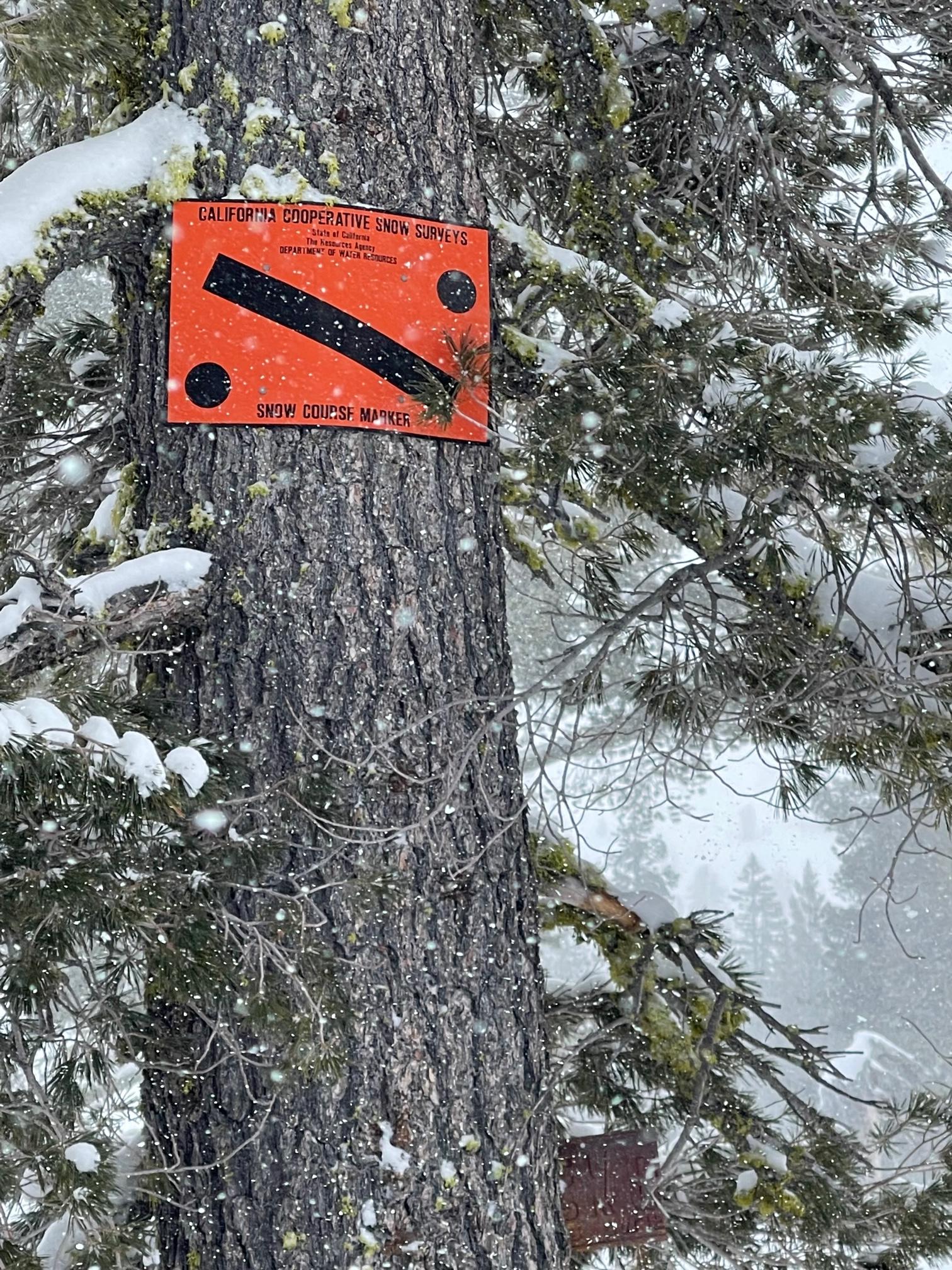
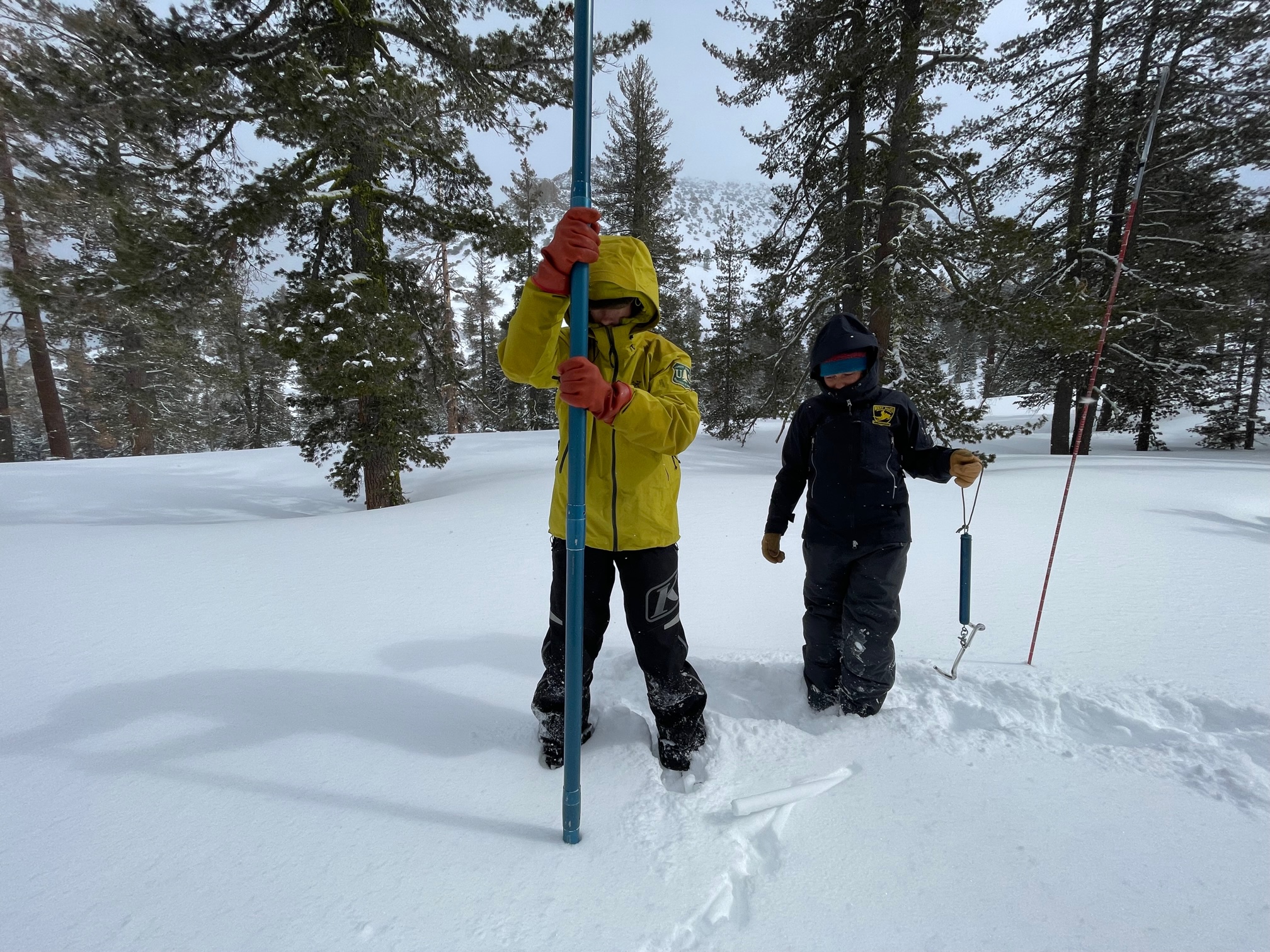
For the Deadfall Lake snow survey course, the average height of snow was 111 inches with 41% water content. For the North Fork of the Sacramento courese, 111 inches and 40%, respectively. The full report for all the local watersheds will come out when all courses are complete. We will post it then.
At lower elevations, the snowpack is melting rapidly and much settlement has occurred. At this time, access into the Eddy's via the FS17 road involves a low put in with some good chunks of pavement riding until consistent snow is met.
A video from the day can be viewed HERE.