

You are here
Eddy Mtns - Storm Slab
Location Name:
Tamarack flatRegion:
Mt EddyDate and time of observation:
Mon, 02/27/2023 - 1:01pmObservation made by:
ForecasterRed Flags:
Whumphing noises, shooting cracks, or collapsing
Recent loading by new snow, wind, or rain
Location Map
96067
Mount Shasta
, CA
United States
41° 21' 56.5344" N, 122° 31' 52.0716" W
See map: Google Maps
California US
Snowpack Observations
Details
Photos

Weather Observations
Statistics
Cloud Cover:
100% of the sky covered by cloudsBlowing Snow:
YesPrecipitation:
SnowAccumulation rate:
Greater than 1 in. per hourAir temperature:
Below FreezingAir temperature trend:
CoolingWind Speed:
StrongWind Direction:
Southwest

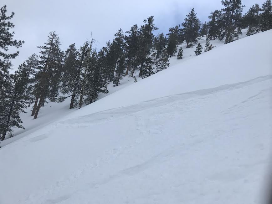
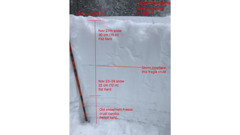
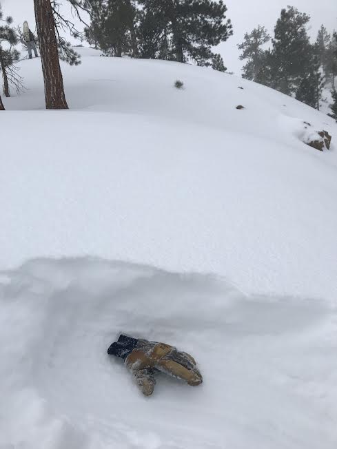
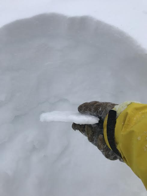
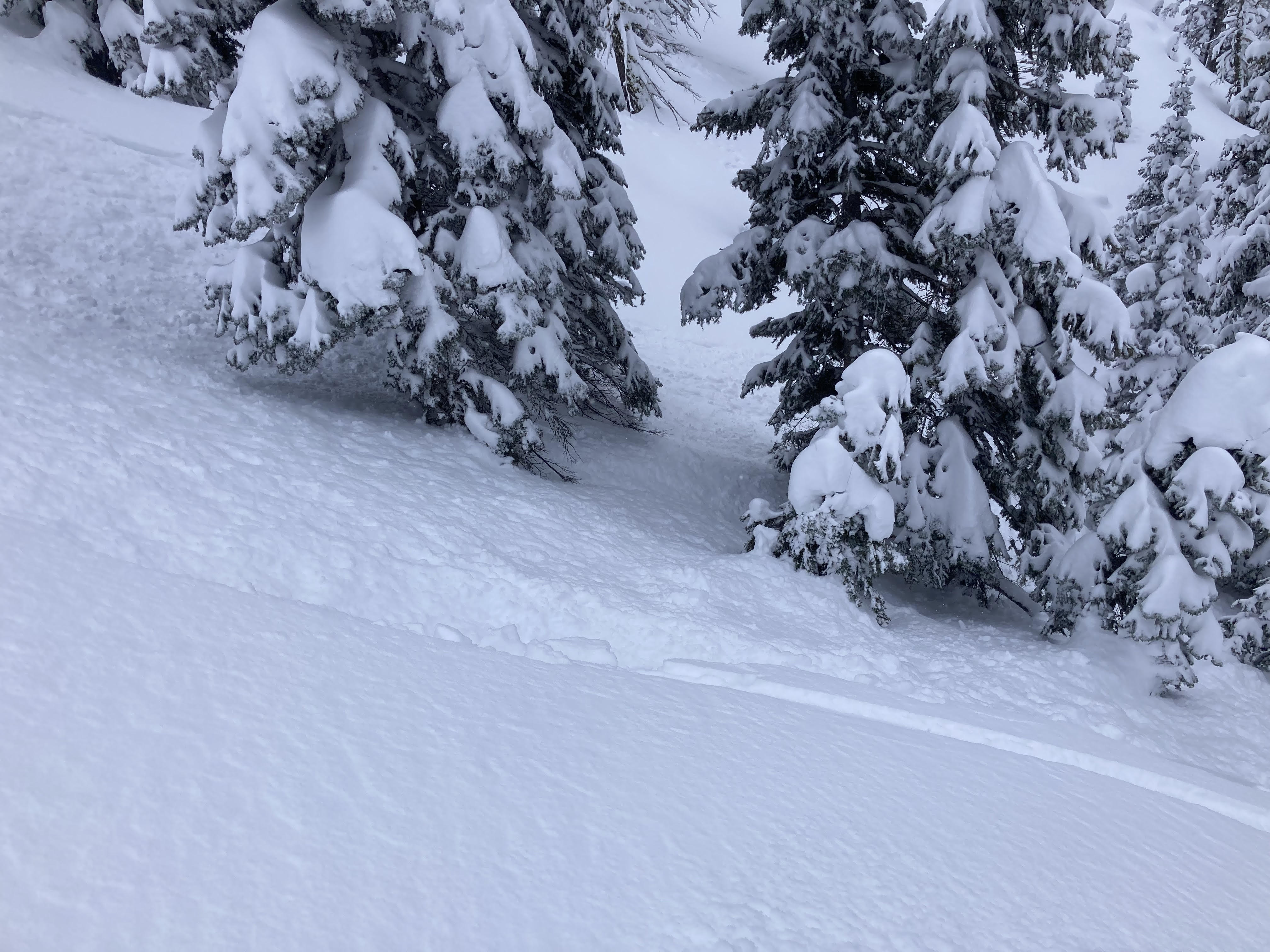
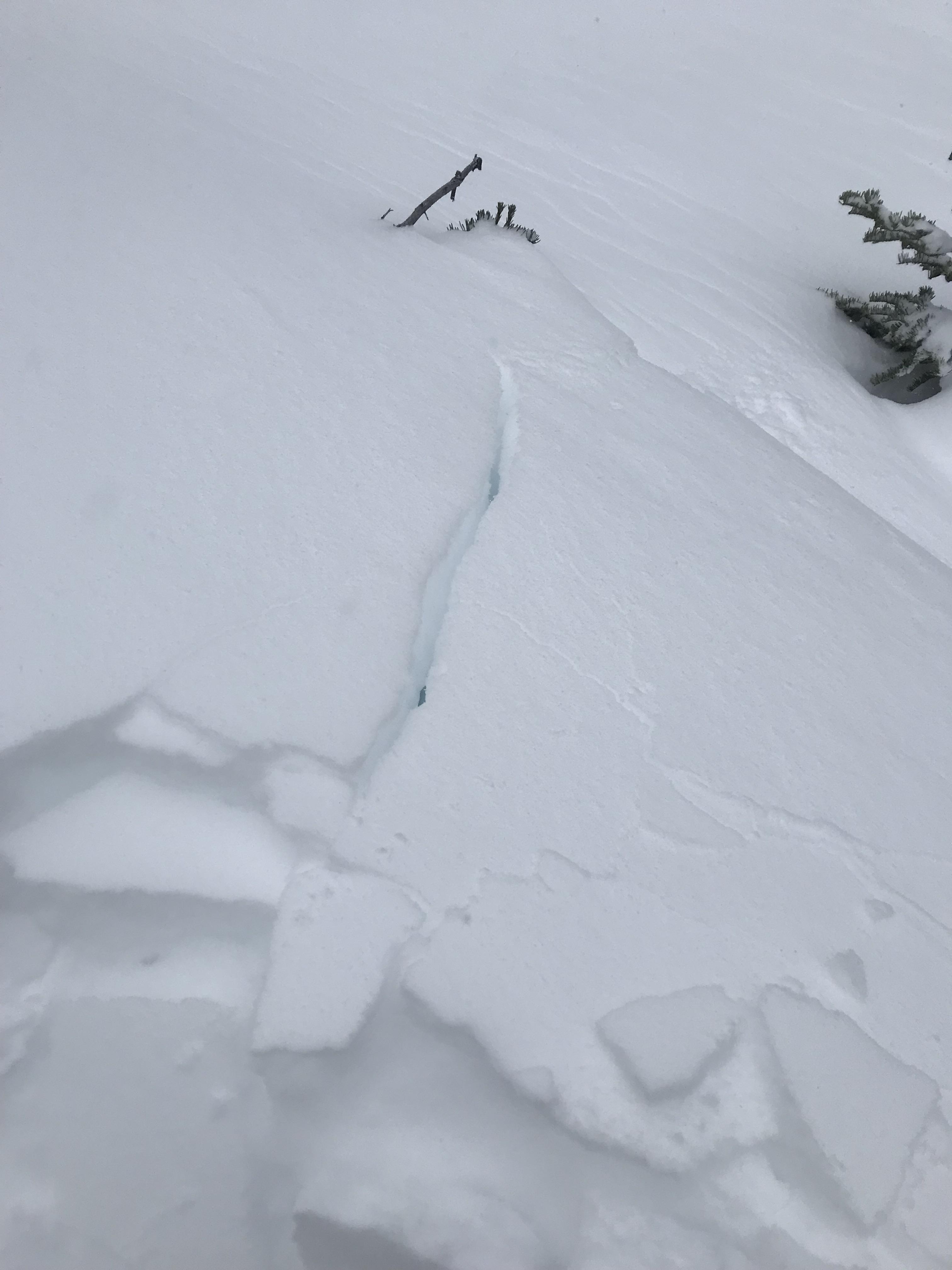
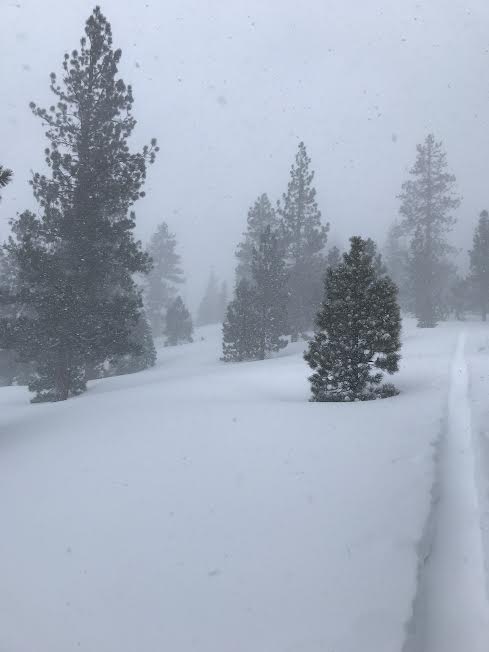
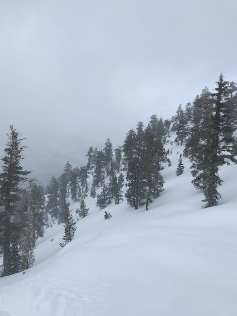
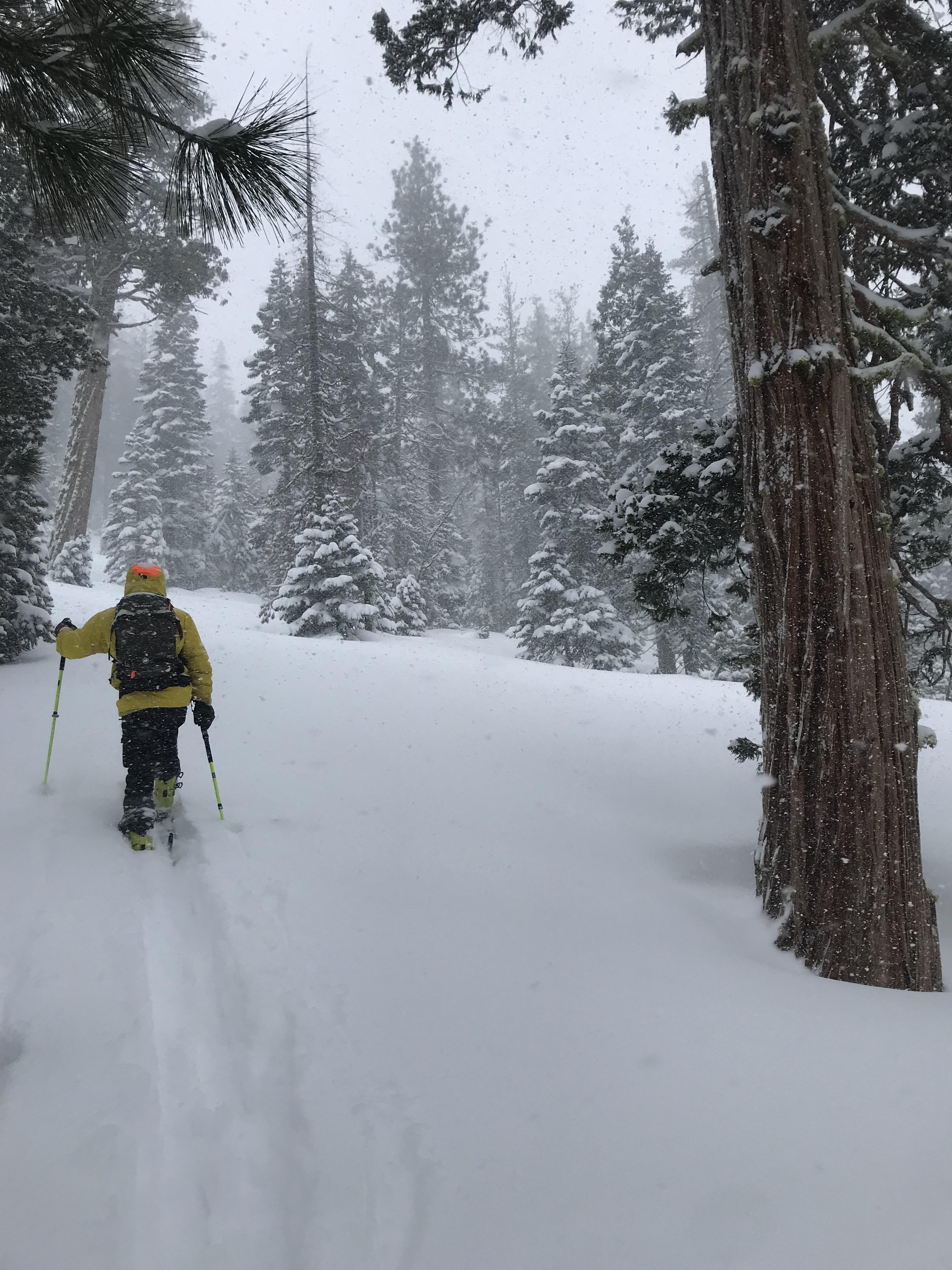
Today we embarked on a mission into the Eddy mountains to observe storm conditions and assess for instabilities within the new snow. Our suspicions were confirmed with a storm slab releasing a foot deep from the weight of a single rider on a convex roll-over. Test slopes displayed shooting cracks and blocking underfoot. Over a foot of new, dry snow resting atop a thin crust from the previous storm's interface was encountered. The dry snow was easy to move and sluff off steep terrain. No major sign of wind loading below treeline was observed, though winds blew small amounts of snow around. Near treeline consistent moderate to strong southwest and westerly winds were ripping over ridge tops and through exposed areas, loading snow onto leeward slopes. Snowfall rates of one inch per hour persisted through the majority of the outing. No other signs of avalanche activity or snowpack instability were observed.