

You are here
Green Butte Ridge

Location Name:
Green Butte Ridge at treelineRegion:
Mt. ShastaDate and time of observation:
Wed, 12/30/2020 - 11:30amObservation made by:
PublicLocation Map
96067
Mount Shasta
, CA
United States
41° 22' 10.6932" N, 122° 13' 9.6024" W
See map: Google Maps
California US
Snowpack Observations
Details
Photos
Weather Observations
Details
Cloudy with intermittent snow showers.
Statistics
Cloud Cover:
100% of the sky covered by cloudsBlowing Snow:
YesPrecipitation:
SnowAir temperature:
Below FreezingWind Speed:
CalmWind Direction:
Northeast

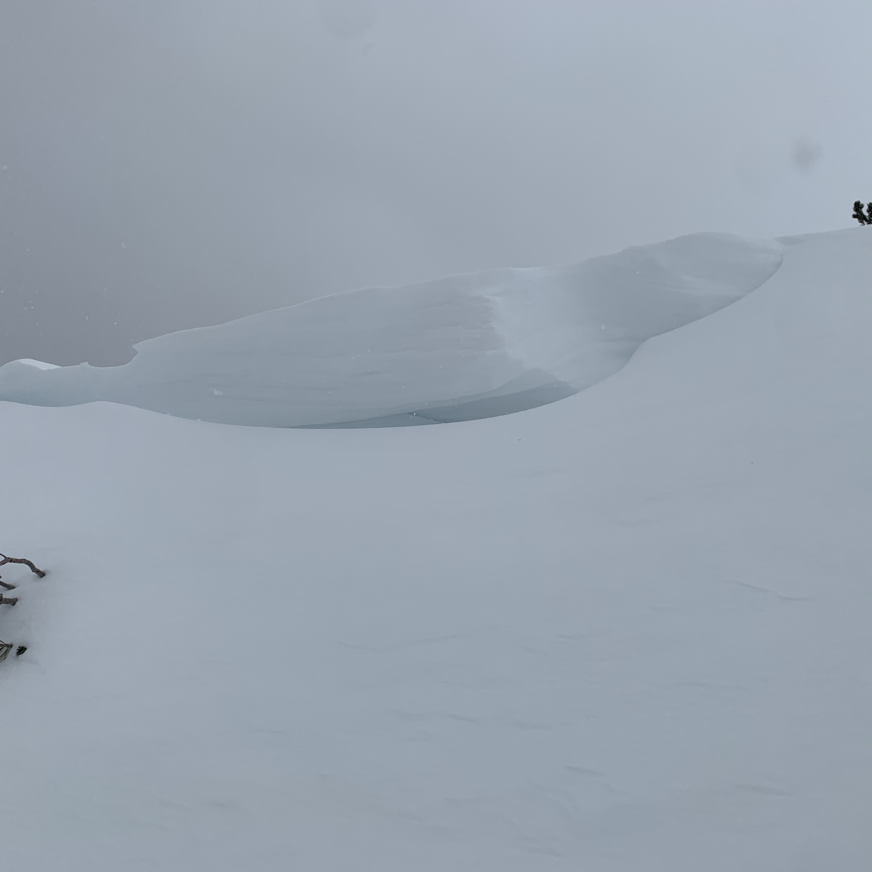
Green Butte Ridge Dec. 30, 2020
Wind scour on south-westerly section of Green Butte Ridge at ~8,500 ft exposes visible rock hazards. Rock hazards, hard snow or thin ice-covered snow was observed in spots. More south-easterly sections of the ridge show wind load and cornice formation.