

You are here
Heavy snow, active wind loading and recent avalanches - West side crest

Location Name:
Cliff and Gumboot Lakes BasinRegion:
Castle LakeDate and time of observation:
Sat, 02/09/2019 - 4:00pmObservation made by:
ForecasterRed Flags:
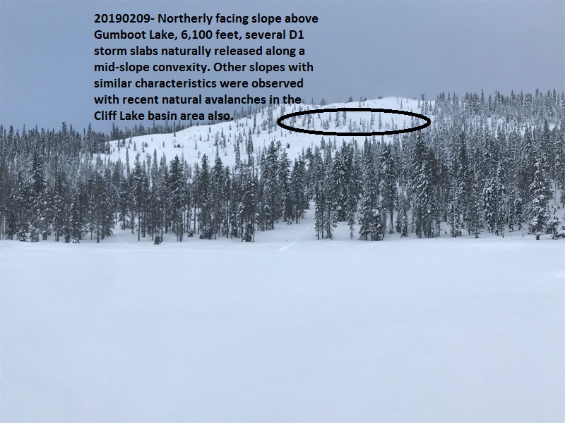
Recent avalanche activity
Whumphing noises, shooting cracks, or collapsing
Recent loading by new snow, wind, or rain
Location Map
96067
Mount Shasta
, CA
United States
41° 11' 35.484" N, 122° 29' 45.4776" W
See map: Google Maps
California US
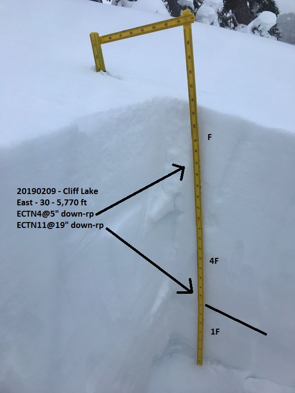
Snowpack Observations
Details
Photos
Weather Observations
Details
- Heavy snow for the AM hours, tapering off in the mid to late afternoon, 1-2 inches an hour for a 10 hour period starting at 0600.
- Temp: 20 F at 1600 hrs, 6,500 feet
- Wind: Light with moderate gusts below treeline. Near and above treeline, moderate to strong out of the SW-W-NW, averaging 20-30 mi/hr with gusts to 40+ mi/hr.
- Partial clearing and a glimpse of blue sky late in the day.
Statistics
Cloud Cover:
100% of the sky covered by cloudsBlowing Snow:
YesPrecipitation:
SnowAccumulation rate:
Greater than 1 in. per hourAir temperature:
Below FreezingAir temperature trend:
CoolingWind Speed:
ModerateWind Direction:
West

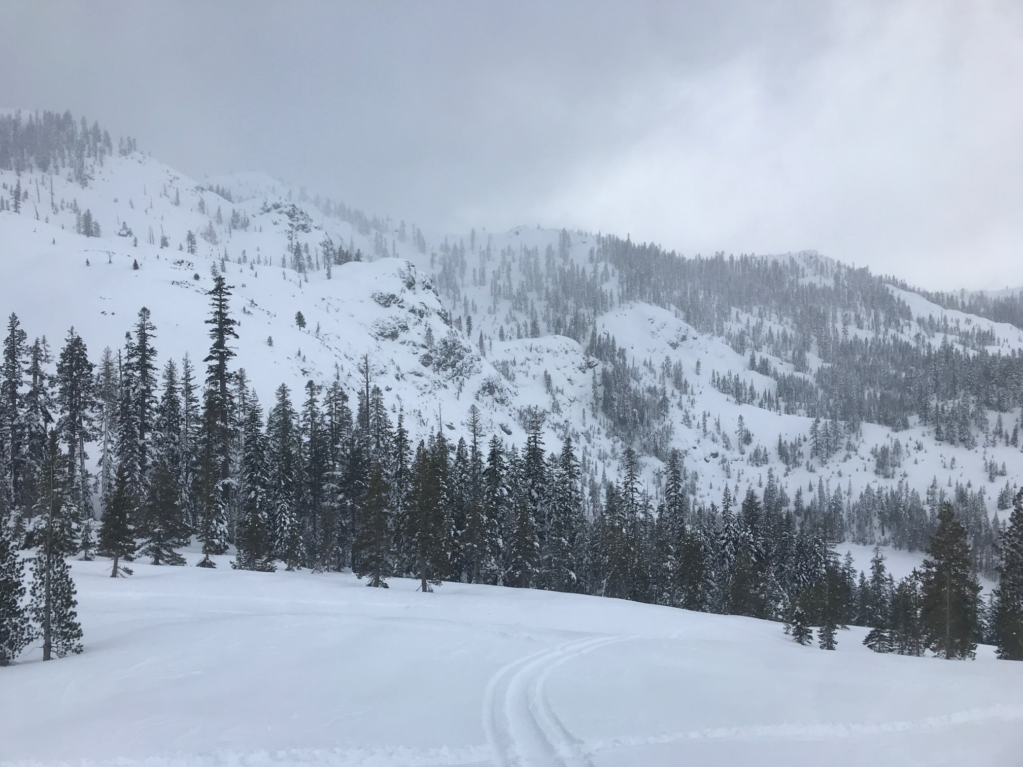
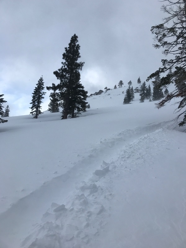
A spicy day in the mountains today during the storm. An impressive amount of snow in a short period of time. The storm was a bit late to start, nonetheless precipitation started at 0600 and proceeded to dump 1-2 inches an hour. About 8-12 inches of snow fell in a 10 hour period today above 5,500 feet and has been accompanied by relentless SW-W-NW winds. Red flags were observed all over the place in the Cliff and Gumboot Lakes basin area.
If instability anything like today persists, tomorrow will be a day to really play it safe. You don't get to many more red flags than this.