

You are here
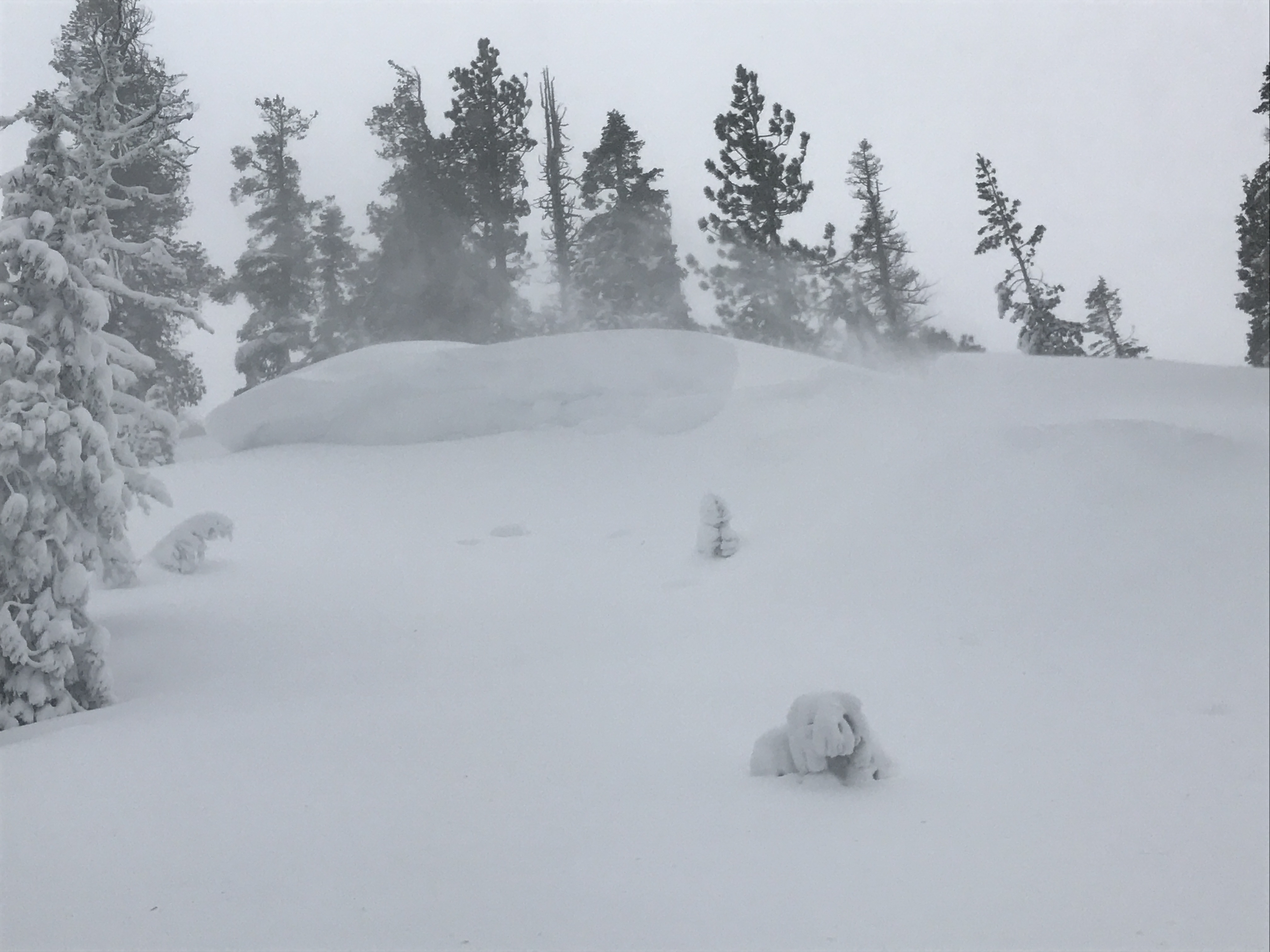
Heavy, wet snow and gale force winds in Eddy range.

Location Name:
Eddies - Parks Creek AreaRegion:
Mt EddyDate and time of observation:
Sun, 02/05/2017 - 10:15pmObservation made by:
ForecasterRed Flags:
Recent loading by new snow, wind, or rain
Location Map
United States
41° 22' 14.106" N, 122° 31' 39.3276" W
See map: Google Maps
US
Snowpack Observations
Details
Photos
Weather Observations
Details
Strong winds in the AM and increasing throughout the day, all out of the south/southwest. While our tour was mostly above the snow level, the air temperature felt rather warm... likely in the high 20's F but cooled in the afternoon. Temps cooled over the course of a couple hours and by 3pm snow levels dropped to 5,000 ft. Periods of a wintery mix of moist air, snow/rain and all snow above 6,000 feet were observed most of the day. Accumulation rates were not much, however our skin track was covered by the time we returned to our starting point. Most of this was due to wind blowing snow back into our tracks. Overall new snow accumulation today was minimal in this area.
Statistics
Cloud Cover:
75% of the sky covered by cloudsBlowing Snow:
YesPrecipitation:
Mixed rain and snowAccumulation rate:
Less than 1 in. per hourAir temperature:
Below FreezingAir temperature trend:
CoolingWind Speed:
Gale ForceWind Direction:
Southwest

A mid day tour up in the Eddy range via Parks Ck road brought full value conditions. Gale force winds above treeline and gusty winds near and below treeline, all out of the south/southwest, was the most notable aspect of the day. Due to the extreme nature of the weather today, we opted for a slightly lower elevation objective as the terrain near the top of Parks Creek held poor visibility and nuking winds. Even so, things were wet and wild as it was. At times, wind gusts knocked us to our knees.
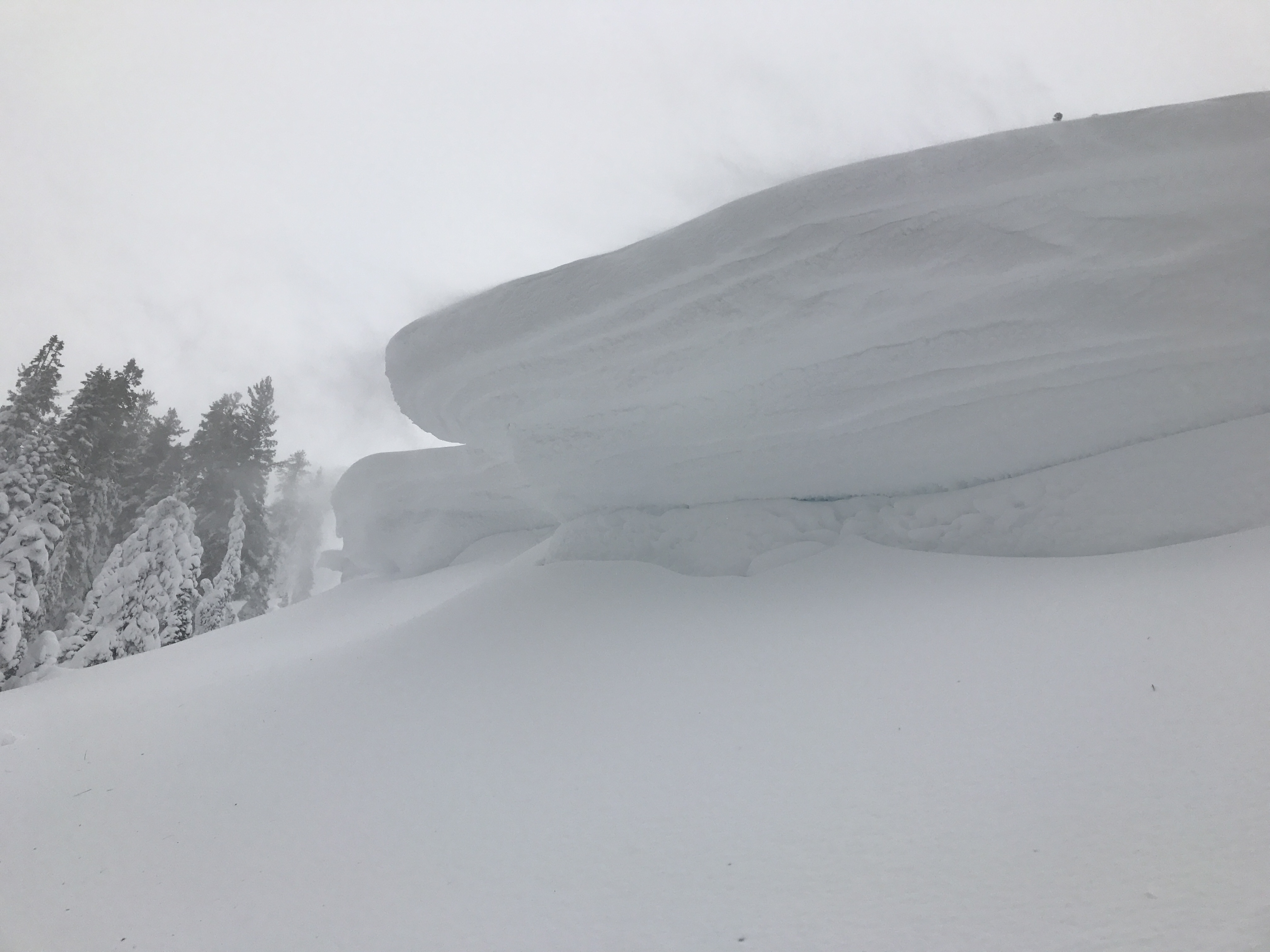
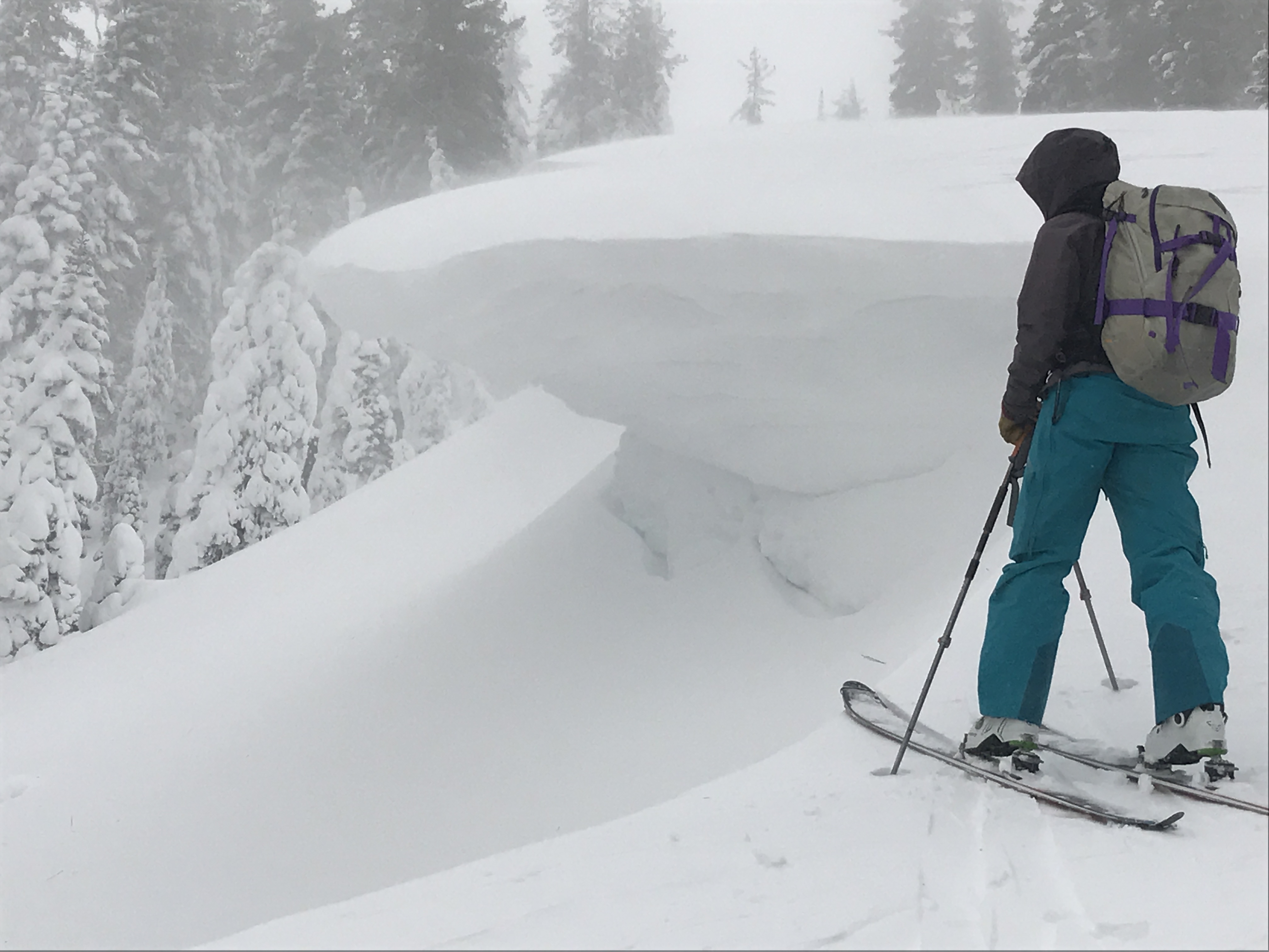
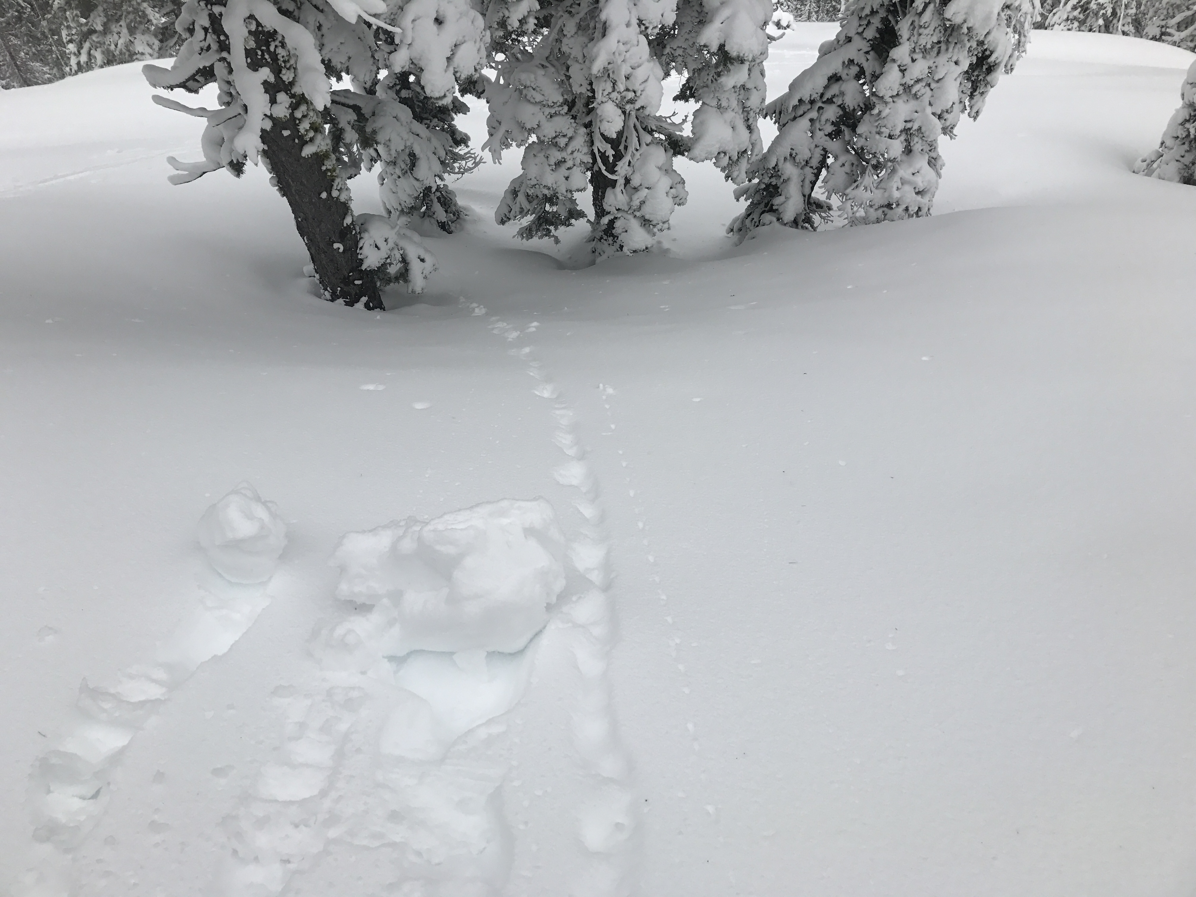
We choose a westerly facing slope with many ribs extending it's length for our tour. Southerly winds were cross loading this slope heavily and creating very large and unstable cornices on northerly facing features/riblets. We started our skin at about 5,800 feet and topped out at about 6,800 feet. The overall condition of the snow was very moist. If buildling a snowman is your thing, you really missed out today. While the snow was moist, only minor roller ball activity was observed below 6,500 feet. Above this elevation, conditions started to feel a bit more "wintery", however that said the snow was still sticky and wet. While we expected to see more signs of instability, we could not get small test slopes to crack or show any indication of unstable wind slabs or other avalanche problems. However, as mentioned the cornice growth was off the charts and the most notable danger for the day in the terrain we choose. We did not test any cornices as several we encountered hung over 6-8 feet and would have certainly failed. On southerly aspects, firm wind scoured snow prevailed. Below 5,500 feet, snow began to turn to rain.
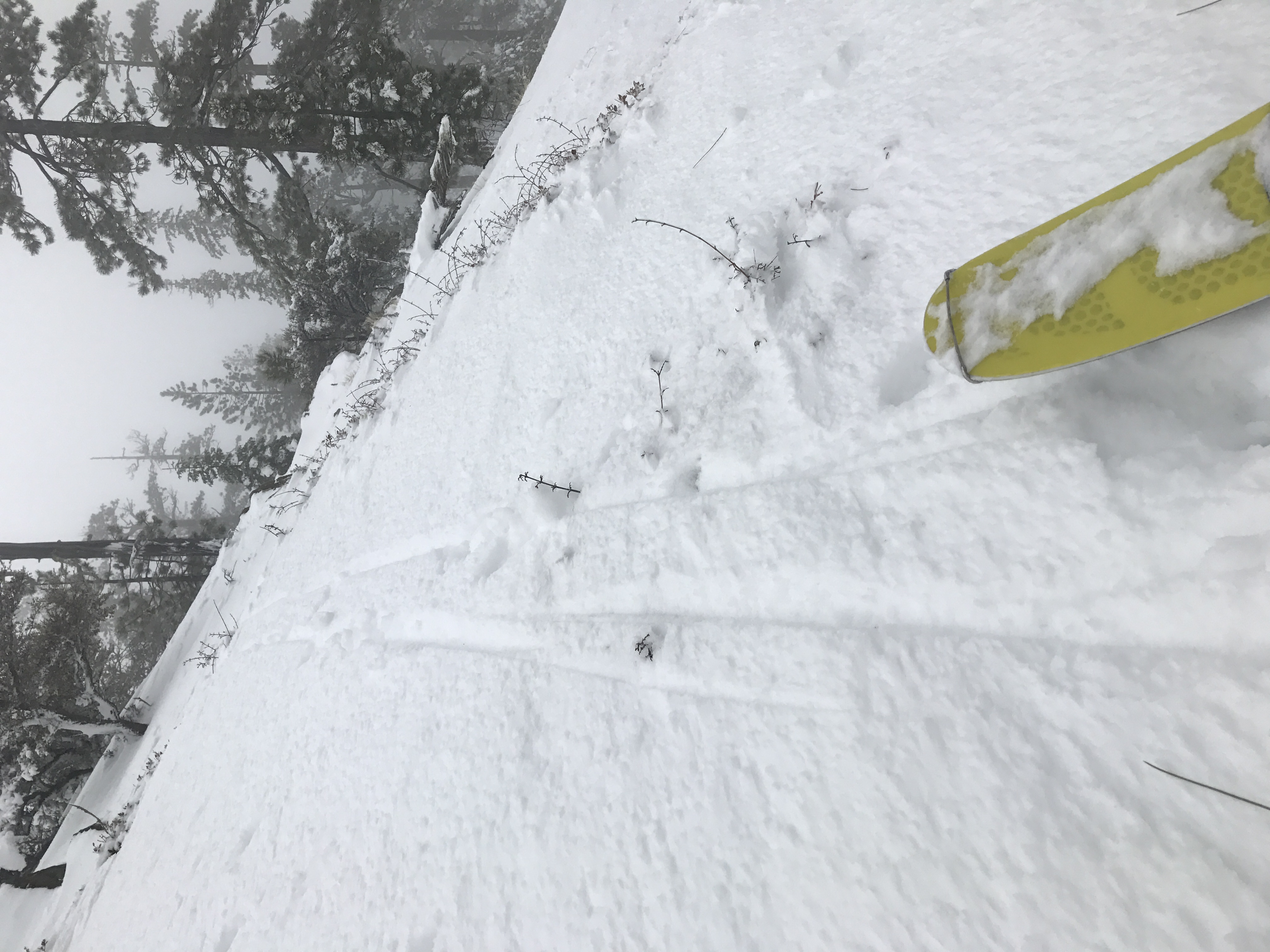
Boot penetration within the snowpack was minimal, only 1-5 cm on southerly aspects where scoured and firm. Wind loaded areas held 10-20 cm boot penetration and only 5-10cm ski penetration. Overall the snowpack was supportable.... classic Shasta Plaster!
I am ceratin that northerly slopes above treeline are heavily wind loaded. While wind slabs are seemingly stubborn to trigger, a wind slab release would be large and with consequence.