

You are here
Hiking/Cross-country skiing Everitt Memorial Highway
Location Name:
Mount ShastaRegion:
Mt. ShastaDate and time of observation:
Sun, 12/06/2020 - 11:00amObservation made by:
ForecasterRed Flags:
Location Map
96067
Mount Shasta
, CA
United States
41° 21' 13.4208" N, 122° 14' 57.6276" W
See map: Google Maps
California US
Snowpack Observations
Details
Photos
Weather Observations
Statistics
Cloud Cover:
25% of the sky covered by cloudsBlowing Snow:
NoPrecipitation:
NoneAccumulation rate:
Air temperature:
Above FreezingAir temperature trend:
WarmingWind Speed:
LightWind Direction:
Northeast

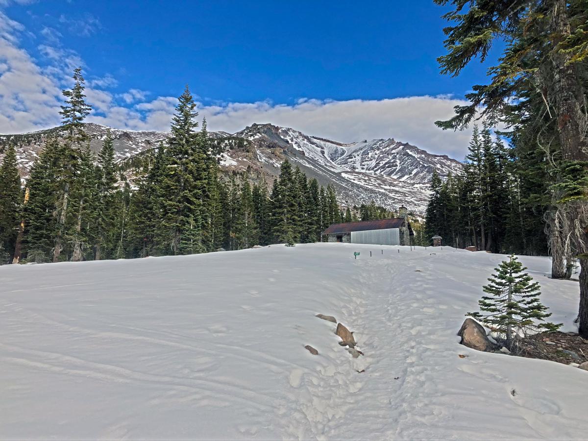
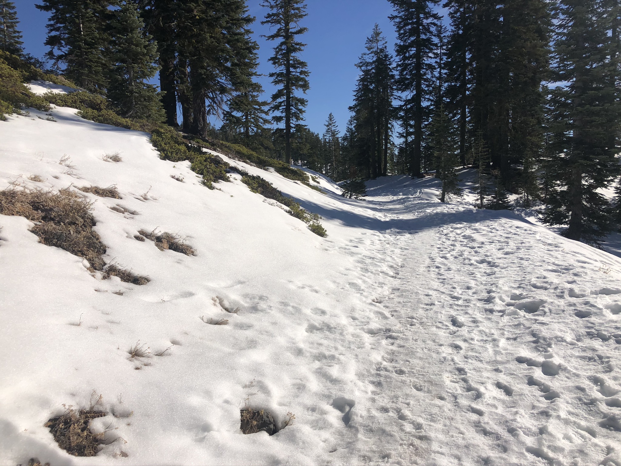
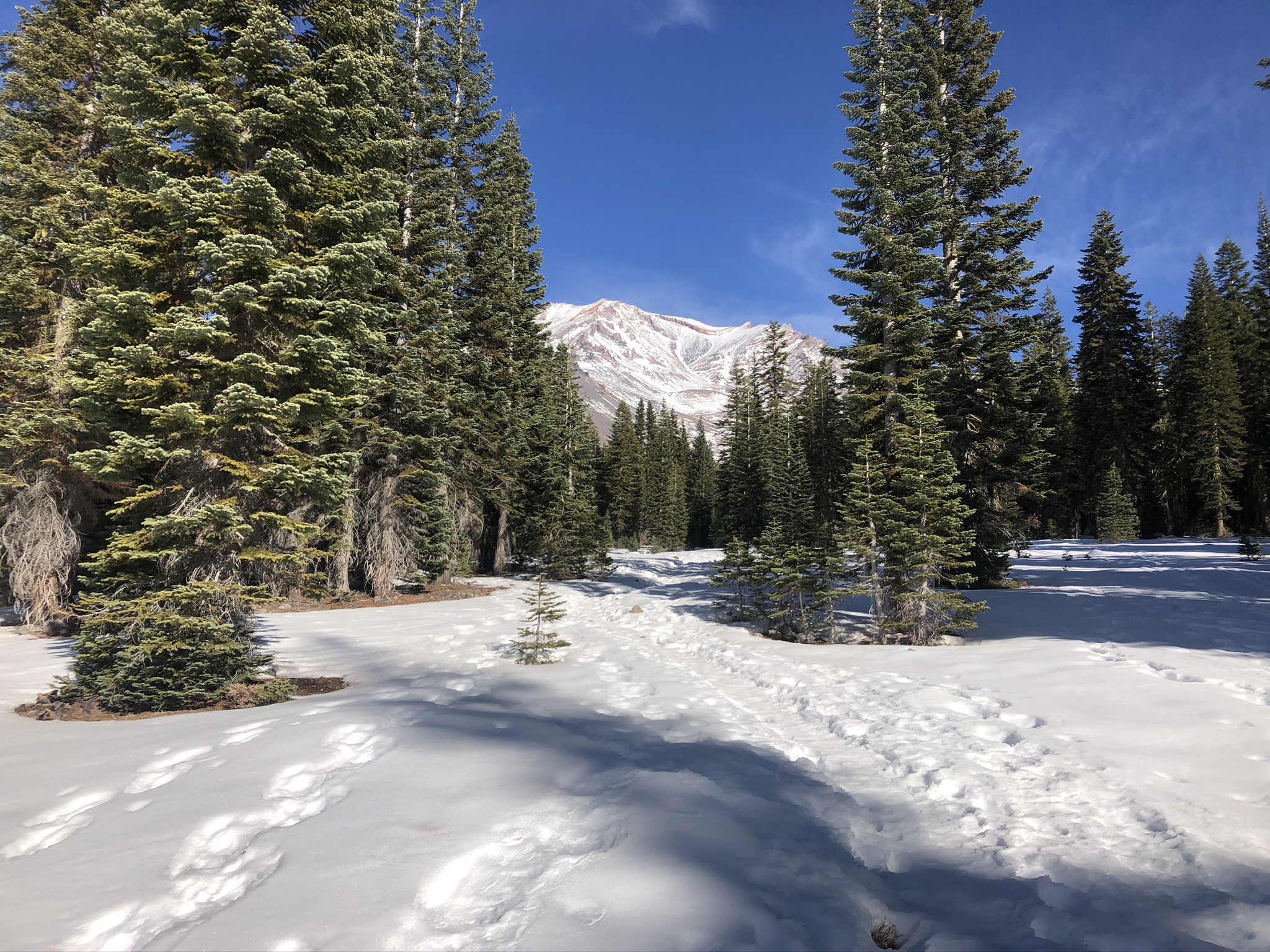
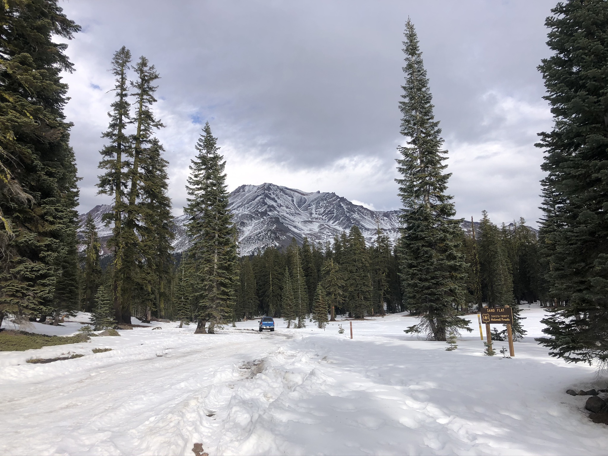
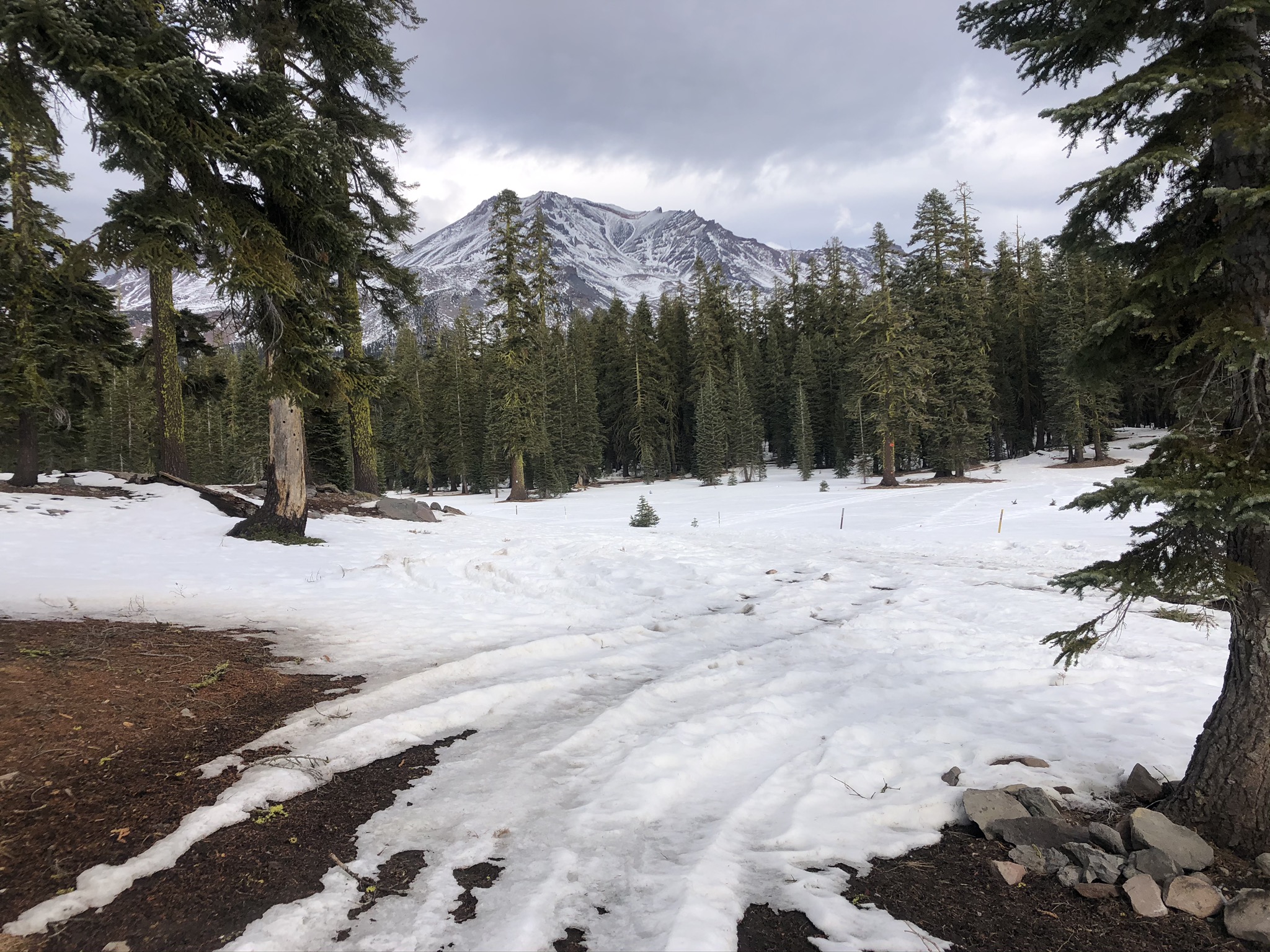
Hiking or cross-country skiing can be a great way to get outside and enjoy the fresh air and gorgeous Mount Shasta views. Three common areas are above the gate on Everitt Memorial Highway towards Old Ski Bowl, Bunny Flat to Horse Camp and the roads (cross-country ski trails) of Sand Flat. The trail is packed with snow mixed with icy spots. Off-trail snow surfaces are variable. Poles are recommended as travel may be slick. Just a friendly reminder, Christmas tree cutting is not permitted near Bunny nor Sand Flats. See the links below for more information.
https://www.fs.usda.gov/detail/stnf/news-events/?cid=fseprd561494 (website general info & links to the various maps)
https://www.fs.usda.gov/Internet/FSE_DOCUMENTS/fseprd835639.pdf (treemap of the Mt. Shasta north area)
https://www.fs.usda.gov/Internet/FSE_DOCUMENTS/fseprd821894.pdf (tree regs)