

You are here
Lower Casaval Ridge

Location Name:
Mount ShastaRegion:
Mt. ShastaDate and time of observation:
Sun, 12/27/2020 - 1:00pmObservation made by:
ForecasterLocation Map
96067
Mount Shasta
, CA
United States
41° 22' 32.2968" N, 122° 13' 57.4932" W
See map: Google Maps
California US
Snowpack Observations
Details
Photos
Weather Observations
Statistics
Cloud Cover:
50% of the sky covered by cloudsBlowing Snow:
NoPrecipitation:
NoneAccumulation rate:
NoneAir temperature:
Below FreezingAir temperature trend:
StaticWind Speed:
LightWind Direction:
East

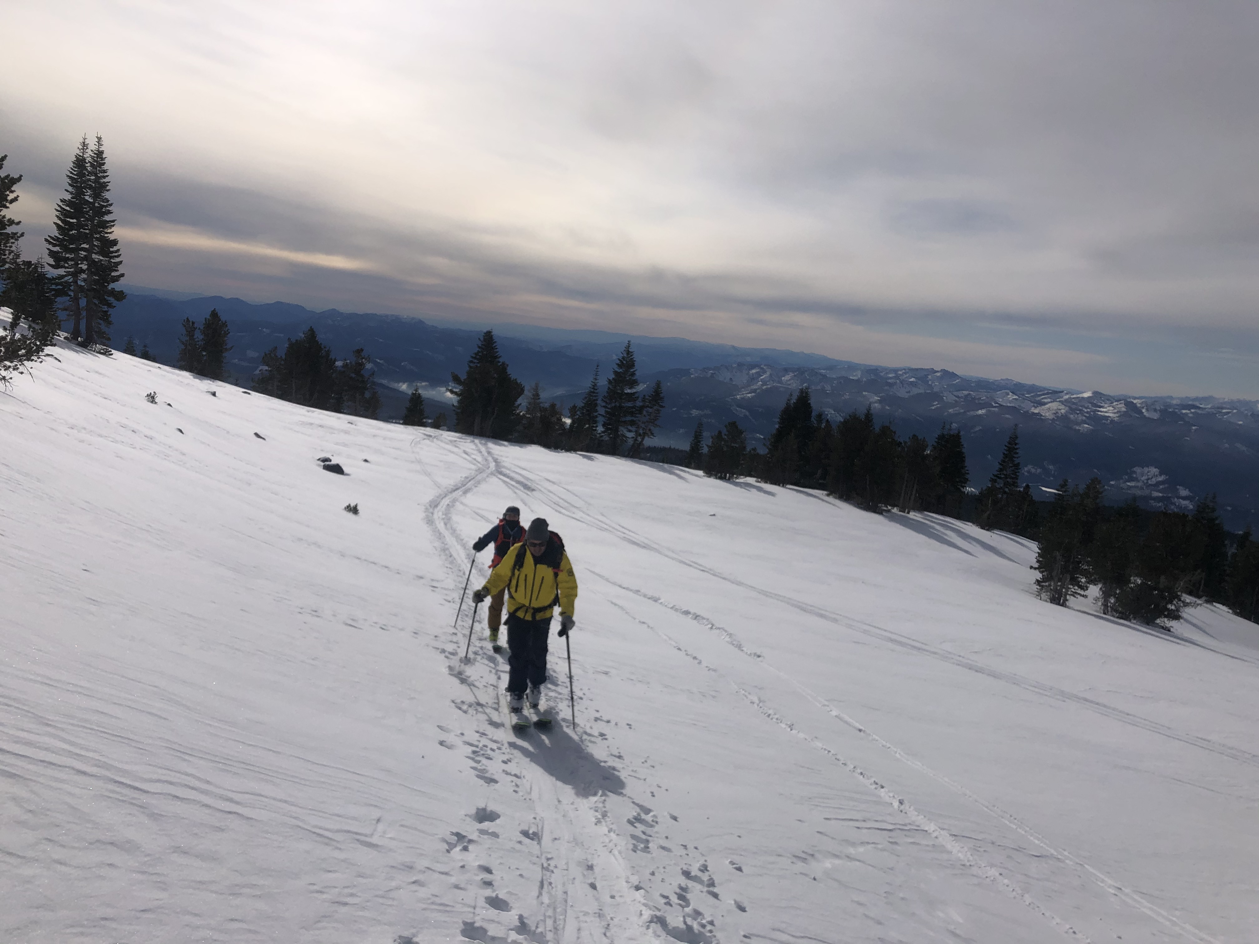
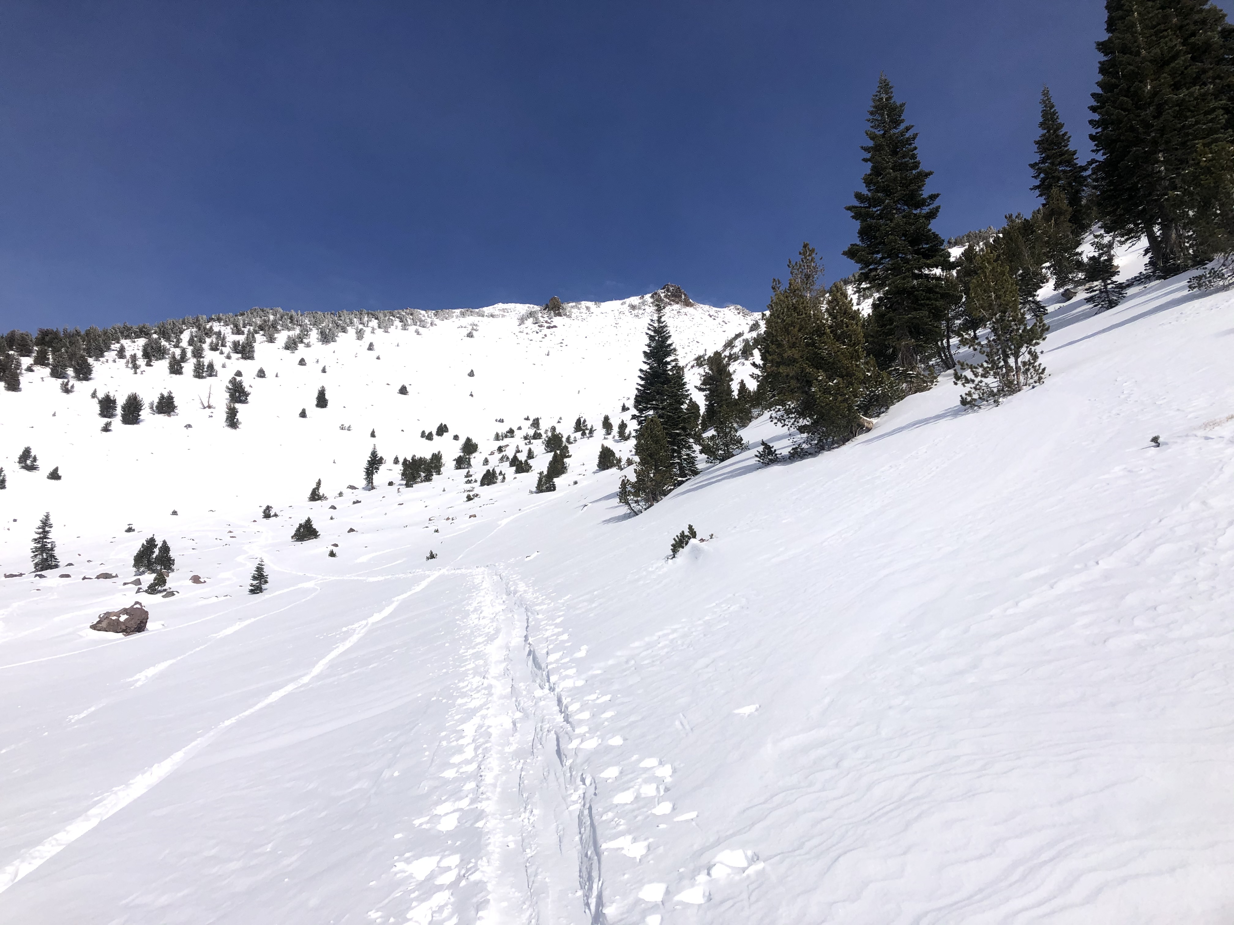
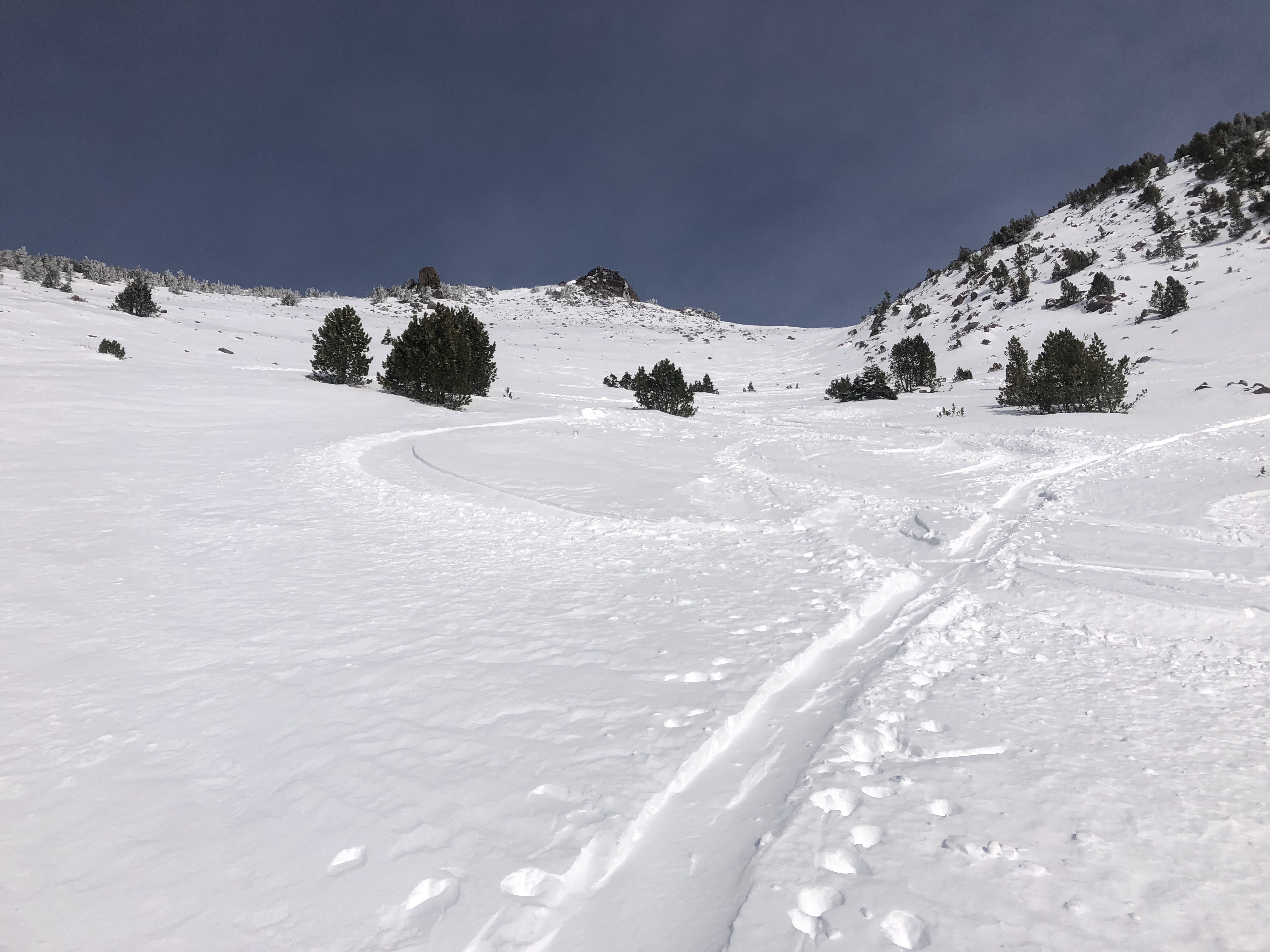
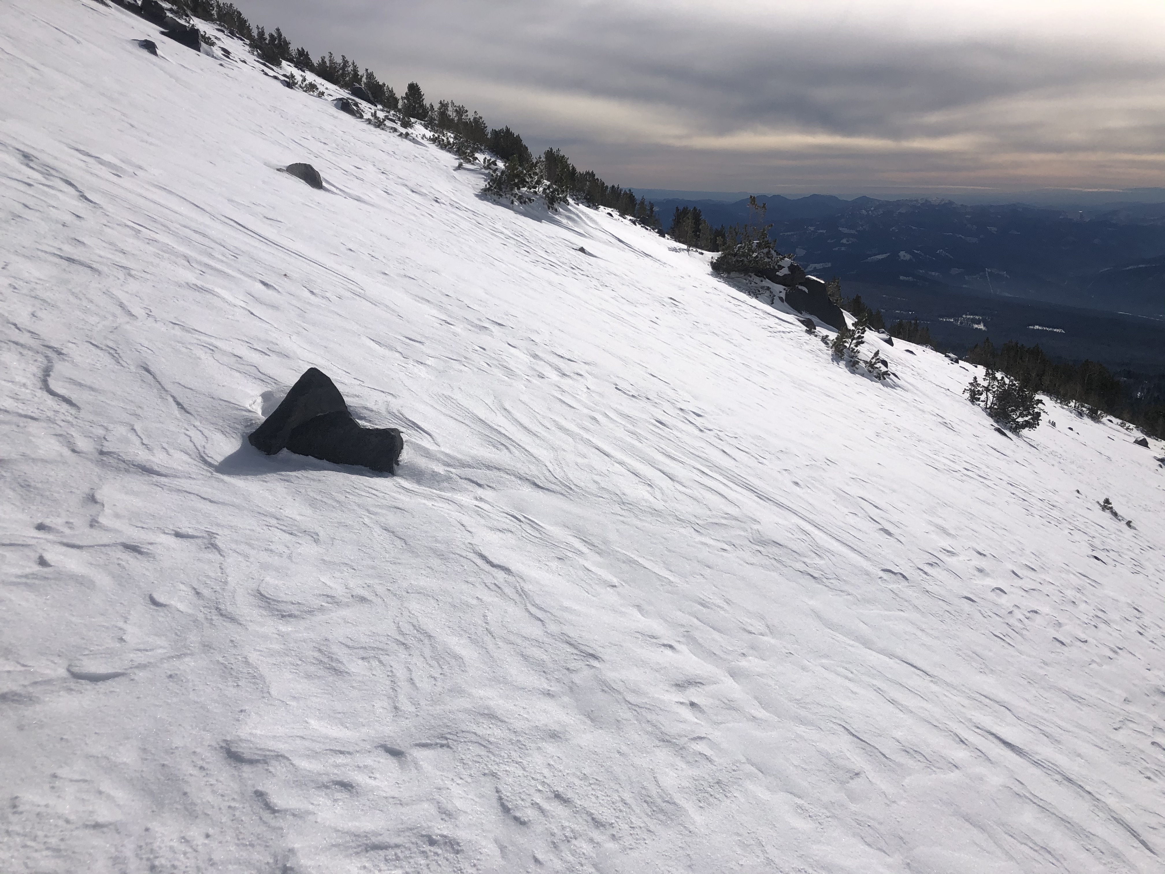
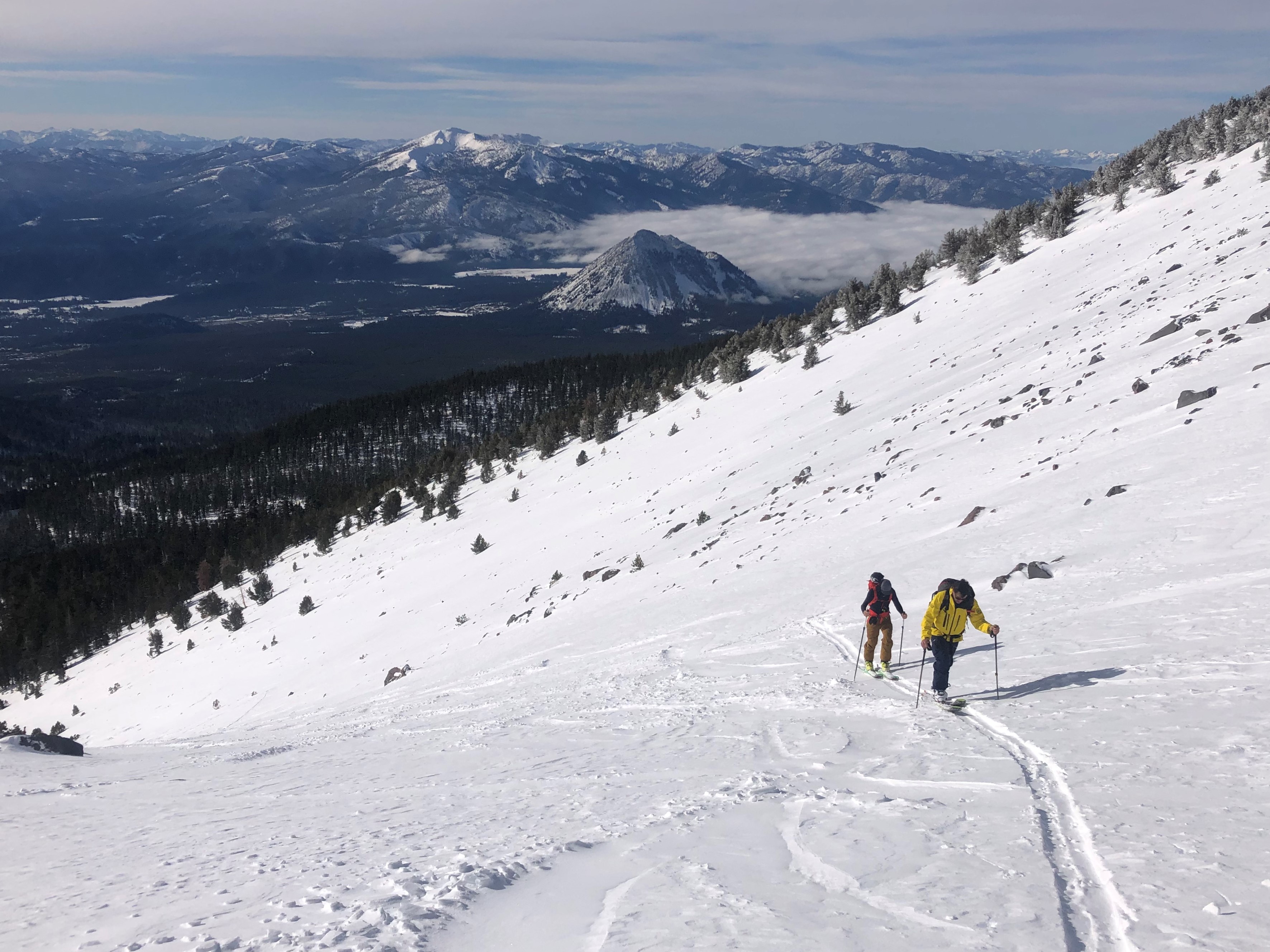
Observations on a tour west of Casaval Ridge:
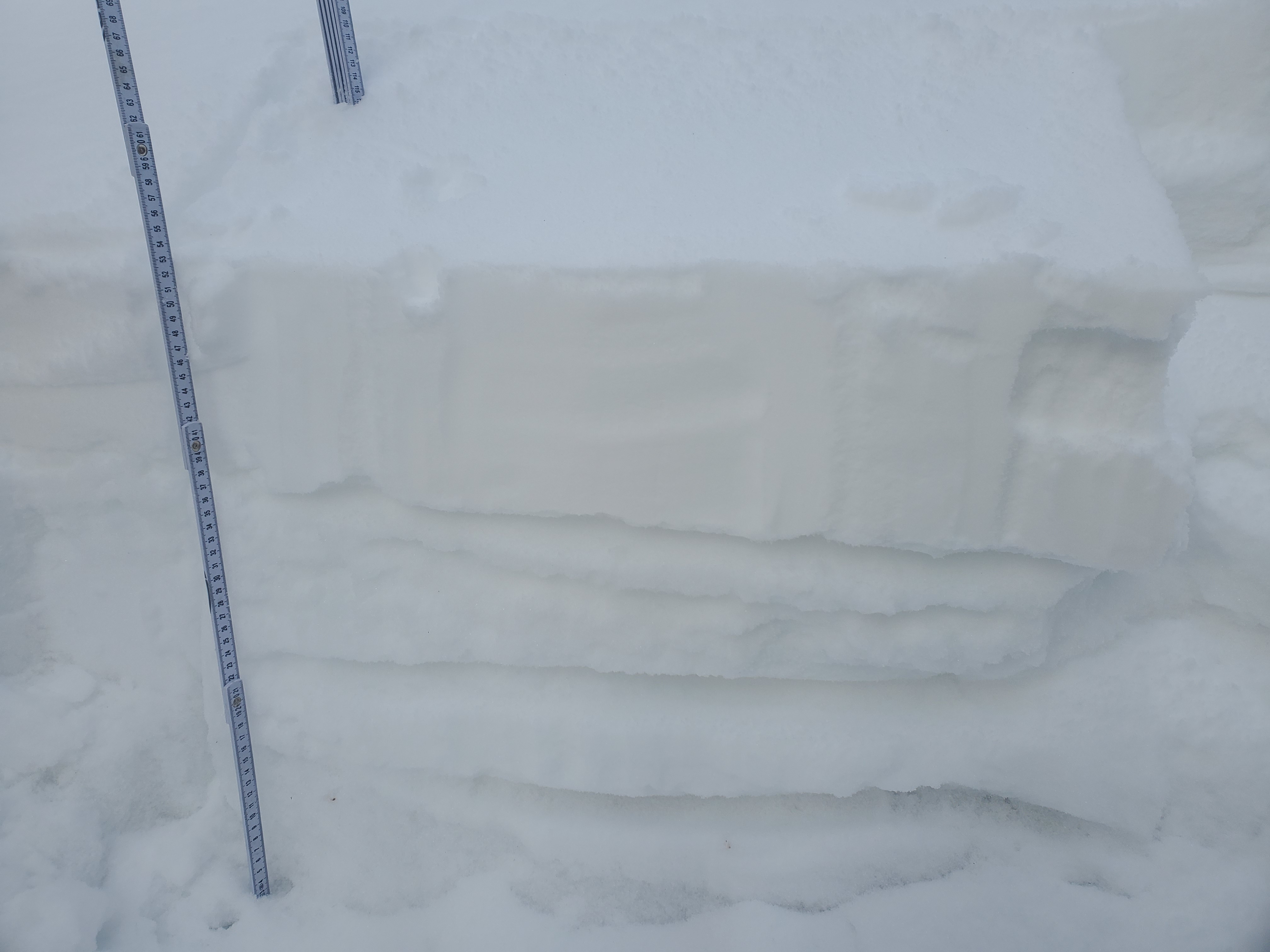
A pit dug below treeline on a shady 32 degree slope revealed fist hard snow sitting atop a mix of crusts and sugary snow. This sugary snow is transitioning to rounds and the shallow snowpack is becoming more stable. No notable CT or ECT results were obtained.