

You are here
Mount Shasta
Location Name:
Near Casaval RidgeRegion:
Mt. ShastaDate and time of observation:
Sun, 03/29/2020 - 1:30pmObservation made by:
ForecasterRed Flags:
Rapid warming
Location Map
96067
Mount Shasta
, CA
United States
41° 23' 7.5696" N, 122° 13' 48.5508" W
See map: Google Maps
California US
Snowpack Observations
Details
Photos

Weather Observations
Statistics
Cloud Cover:
100% of the sky covered by cloudsBlowing Snow:
NoPrecipitation:
SnowAccumulation rate:
NoneAir temperature:
Below FreezingAir temperature trend:
WarmingWind Speed:
CalmWind Direction:


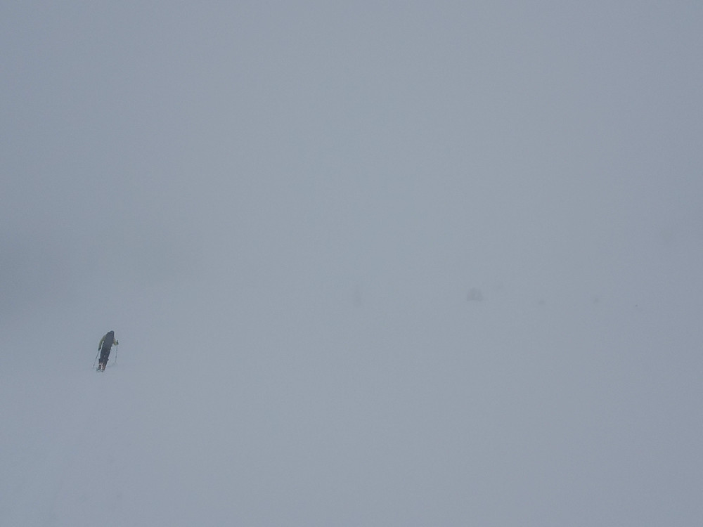
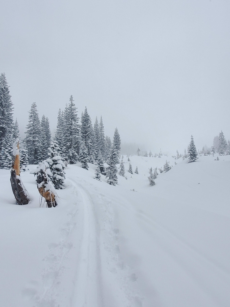
Yesterday, there was around 22 cm (8.7 in) of low density snow sitting on top of a crust that at times was breakable, at times supportable. Average height of snow was around 105 cm (42 in). Winds were calm and no signs of wind affect were encountered above treeline.
Visibility was generally low, though clouds became thin and created a strong greenhouse effect that immediately warmed the surface snow creating an upside down configuration. Steep slopes instantly became ripe for wet-loose and even storm slab style avalanches.