

You are here
Mount Shasta after the storm...

Location Name:
Mount ShastaRegion:
Mt. ShastaDate and time of observation:
Sat, 03/06/2021 - 11:30amObservation made by:
ForecasterRed Flags:
Recent loading by new snow, wind, or rain
Location Map
96067
Mount Shasta
, CA
United States
41° 22' 52.3884" N, 122° 12' 12.1428" W
See map: Google Maps
California US
Snowpack Observations
Details
Photos
Weather Observations
Statistics
Cloud Cover:
25% of the sky covered by cloudsBlowing Snow:
YesPrecipitation:
NoneAccumulation rate:
NoneAir temperature:
Below FreezingAir temperature trend:
CoolingWind Speed:
ModerateWind Direction:
West

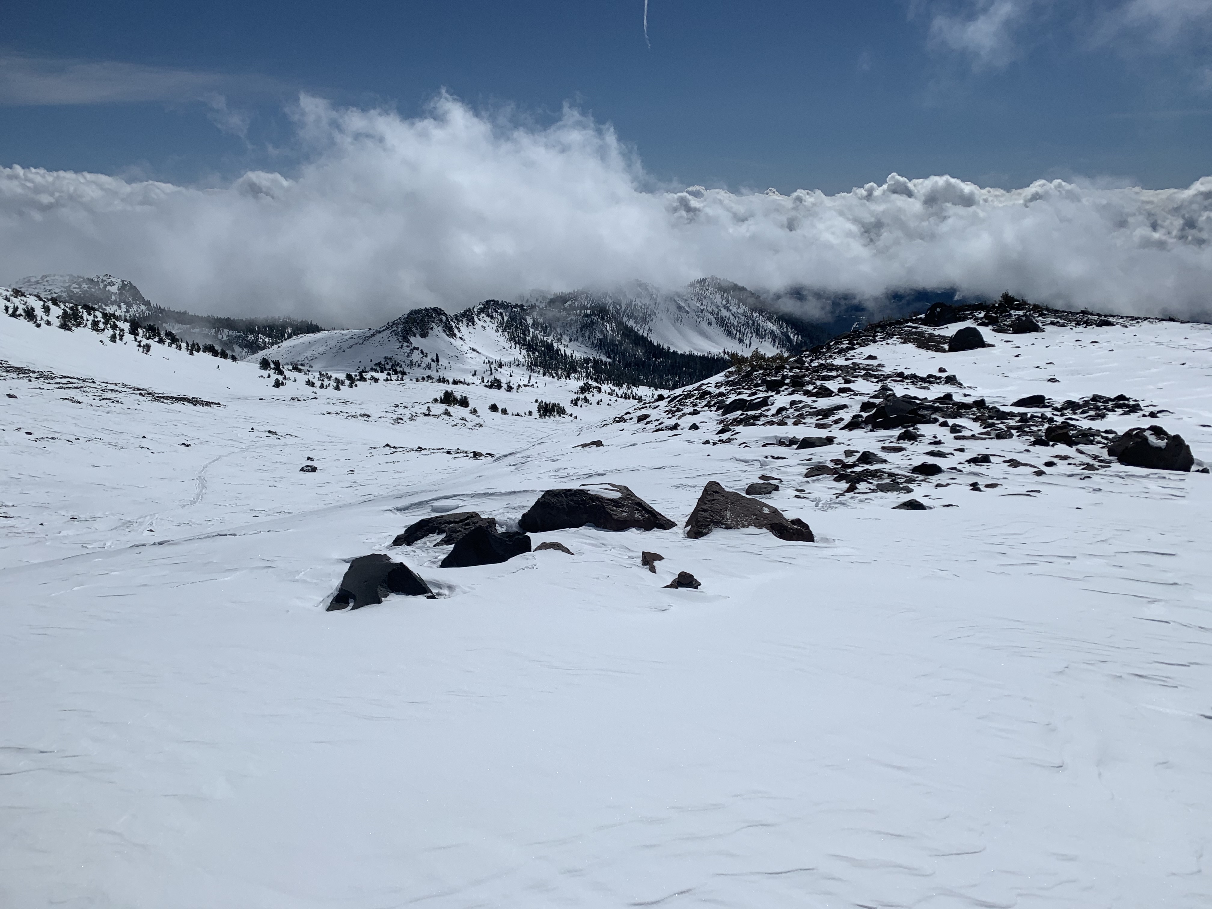
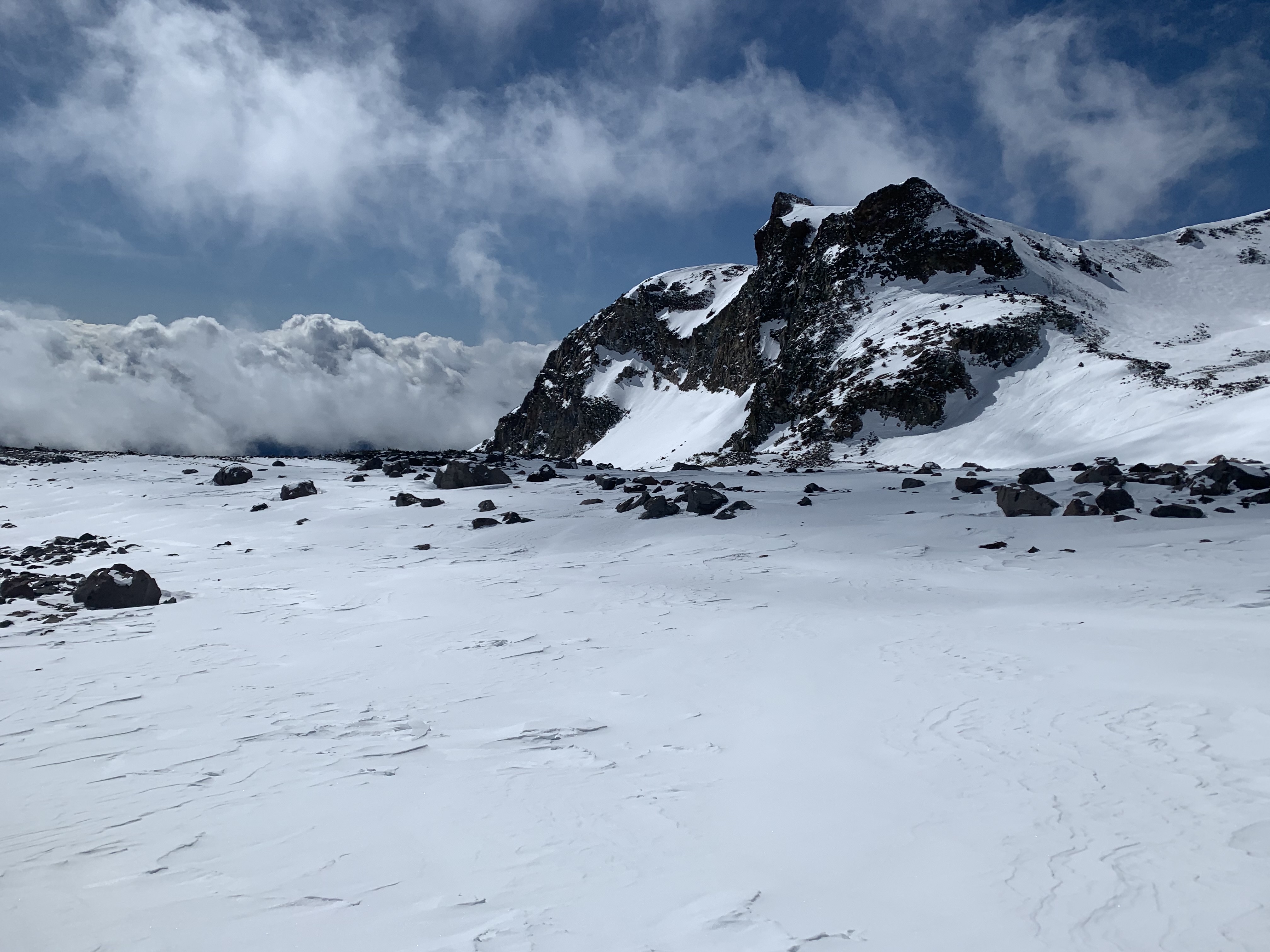
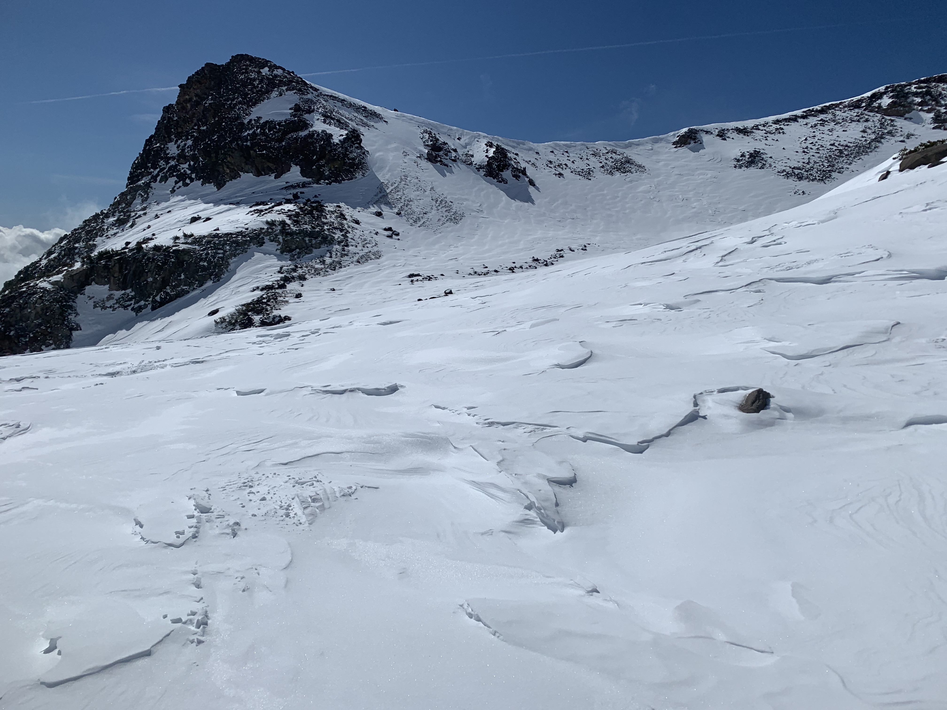
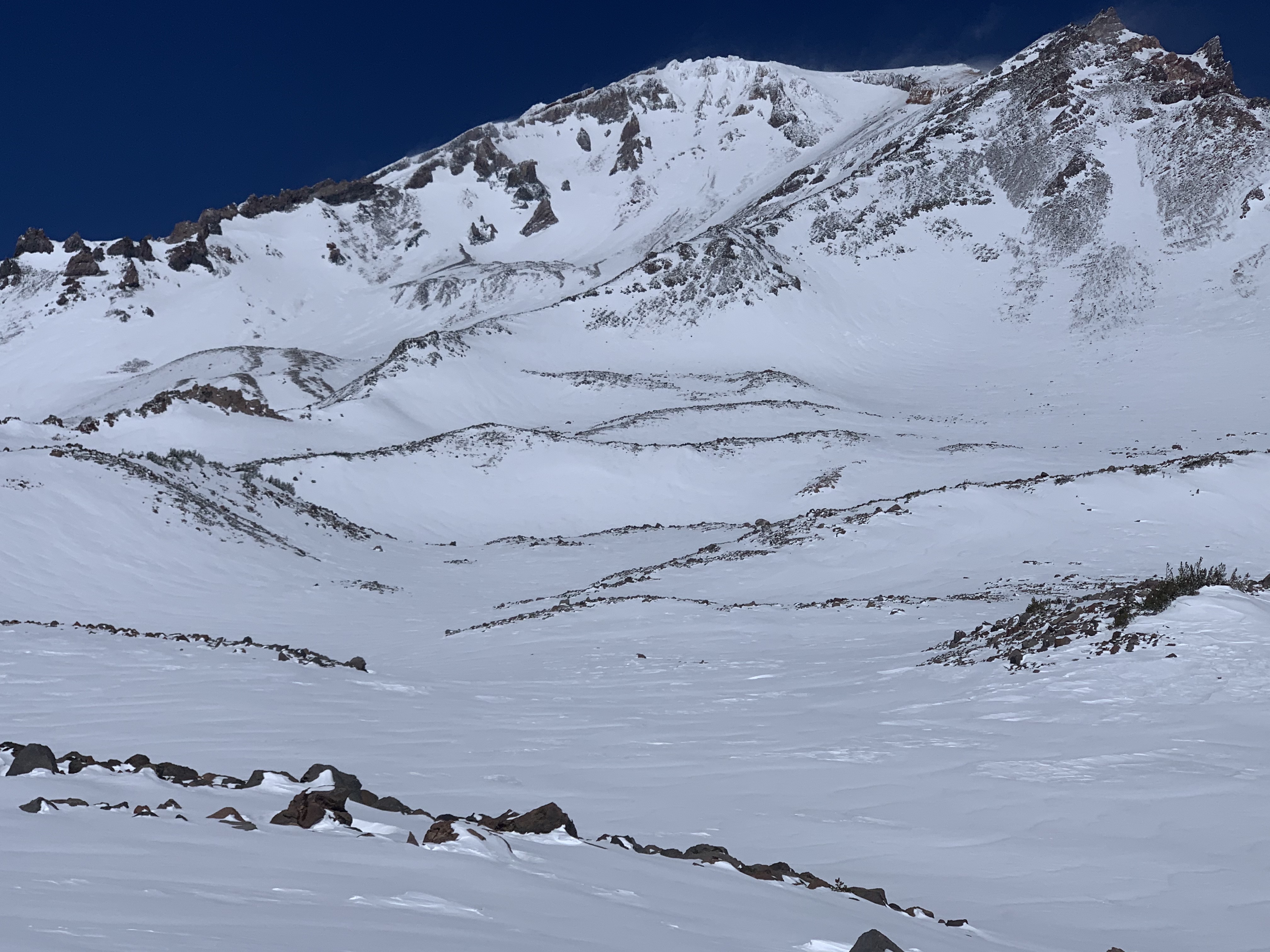
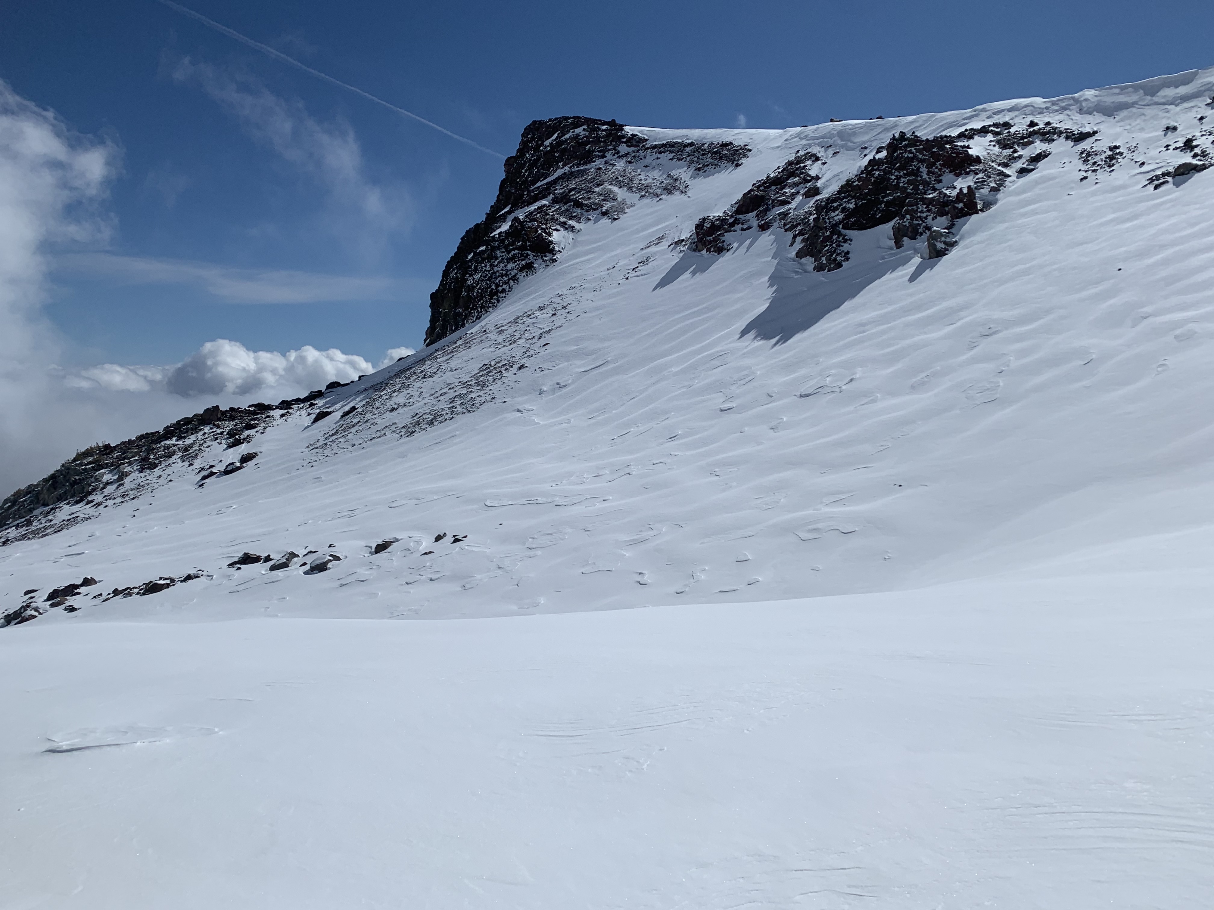
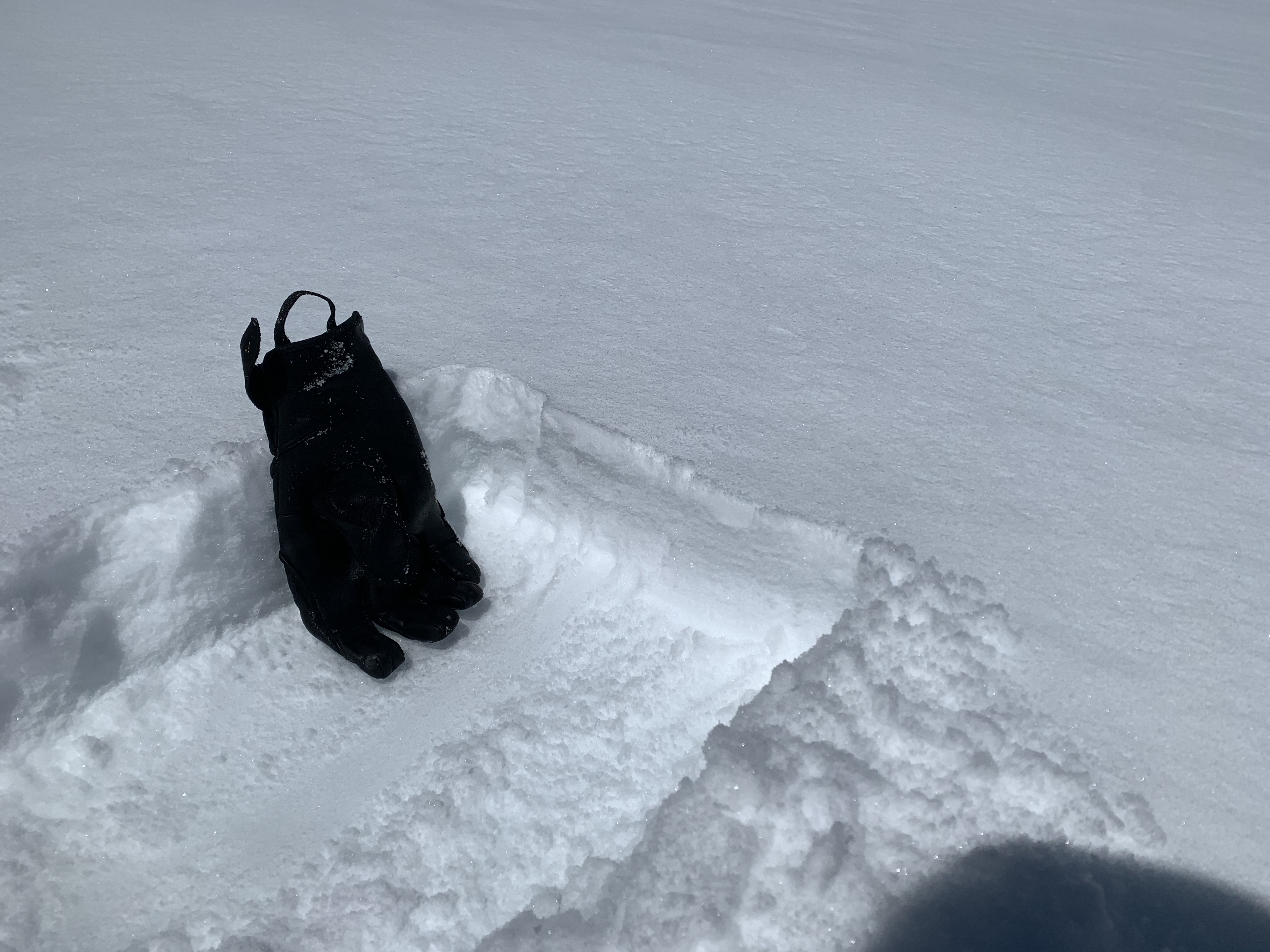
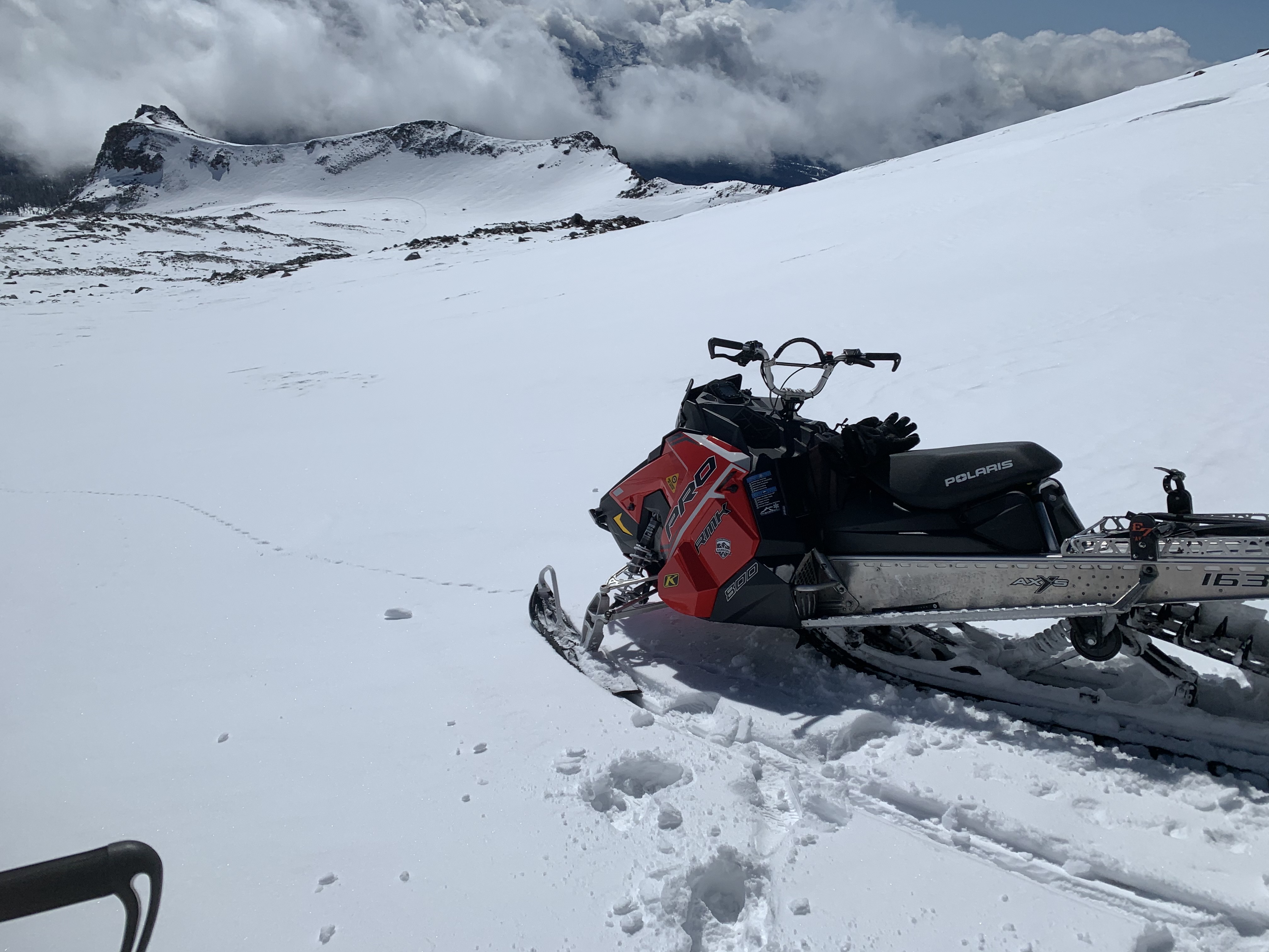
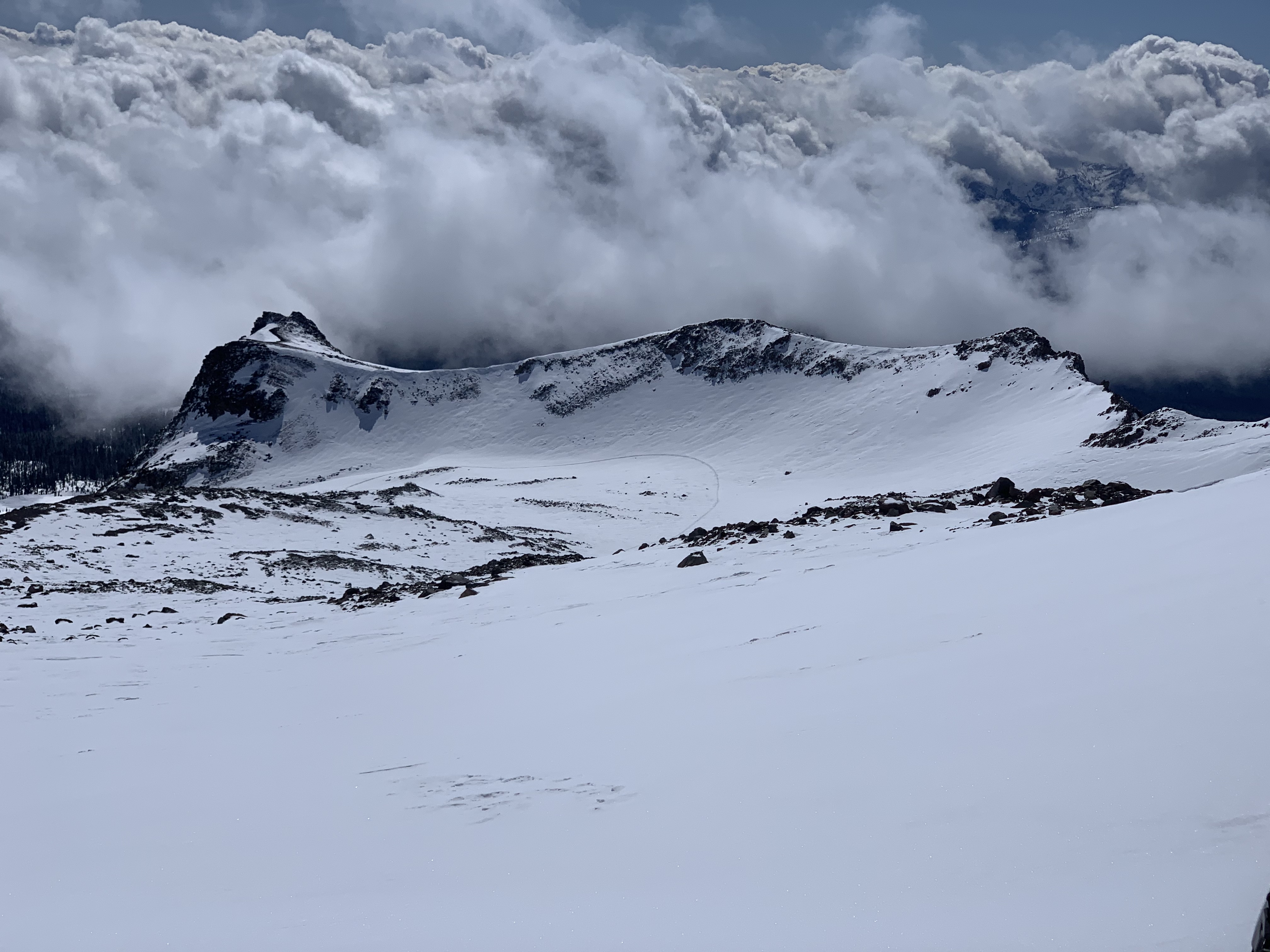
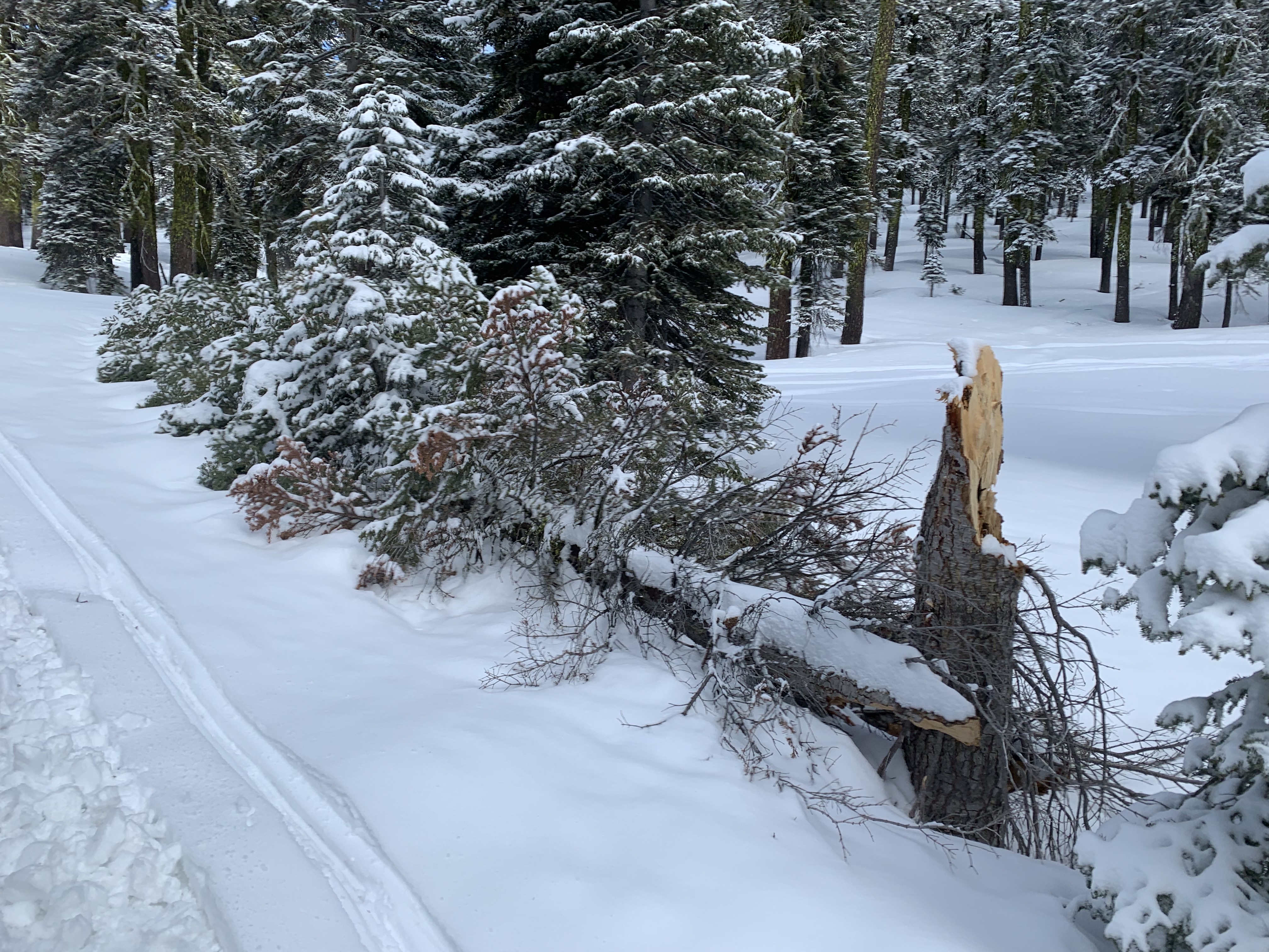
A wide-ranging snowmobile tour of the south side of Mt. Shasta, Old Ski Bowl, Gray Butte areas. New snow observed 4-6 inches with uneven distribution, especially near and above treeline. New snow settled an inch or so by the end of day. Old tracks from skiers and snowmobiles as well as old wind features protruded up through the new snow. Moments of buttery ski brilliance could be found in lower lying areas, but the old, hard snow was not far beneath. The sun is higher in the sky these days...some south facing slopes will have a sun crust on them tomorrow. Did not observe any roller balls. Temps stayed fairly chilly (high of 28° at 1300) and snow remained on the north side of trees at the end of the day. Did not see any recent avalanches or any signs of obvious instability. Widespread blowing snow was viewed from afar on the upper mountain, but overall terrain was scoured and looked about like it did before the storm. Blowing snow was mostly sublimating into the atmosphere. Evidence of recent high winds at lower elevations could be seen by many snapped off trees.