

You are here
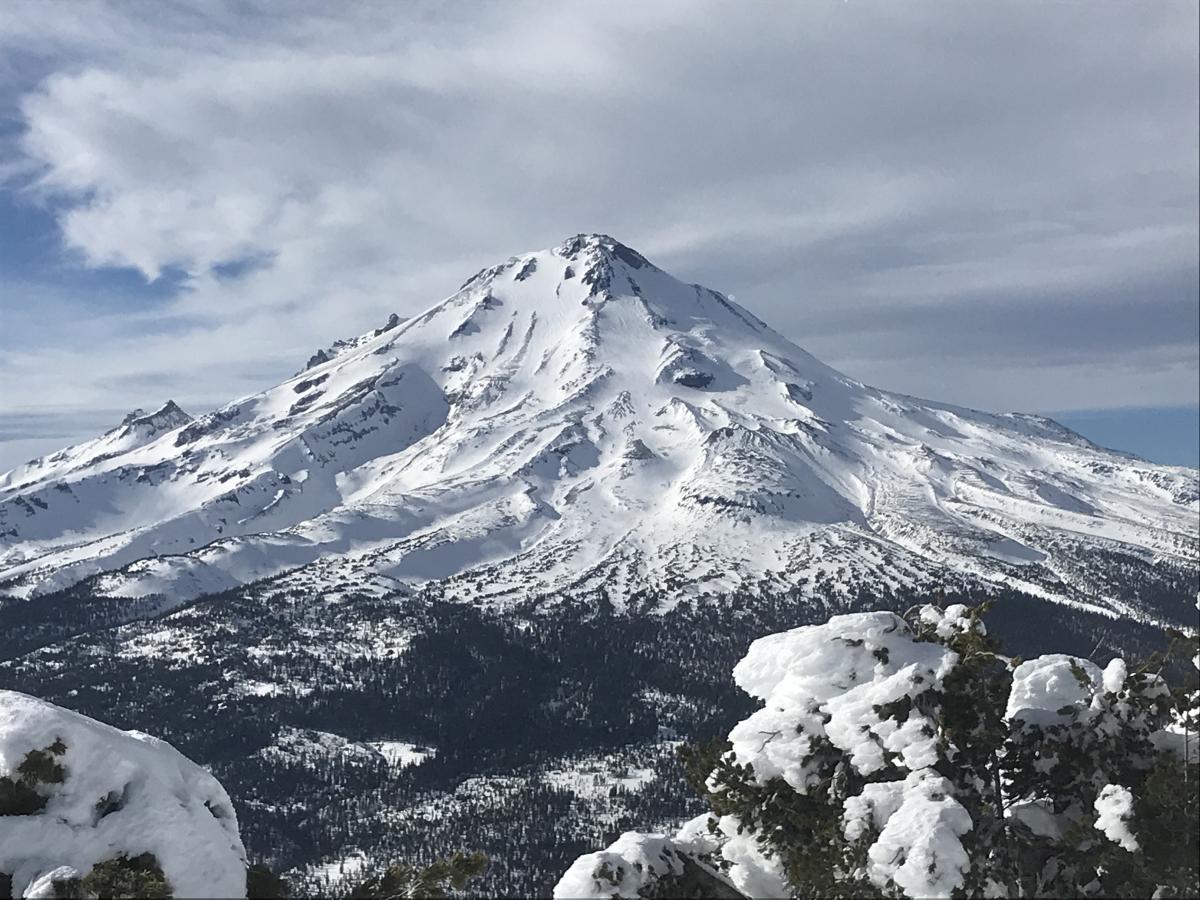
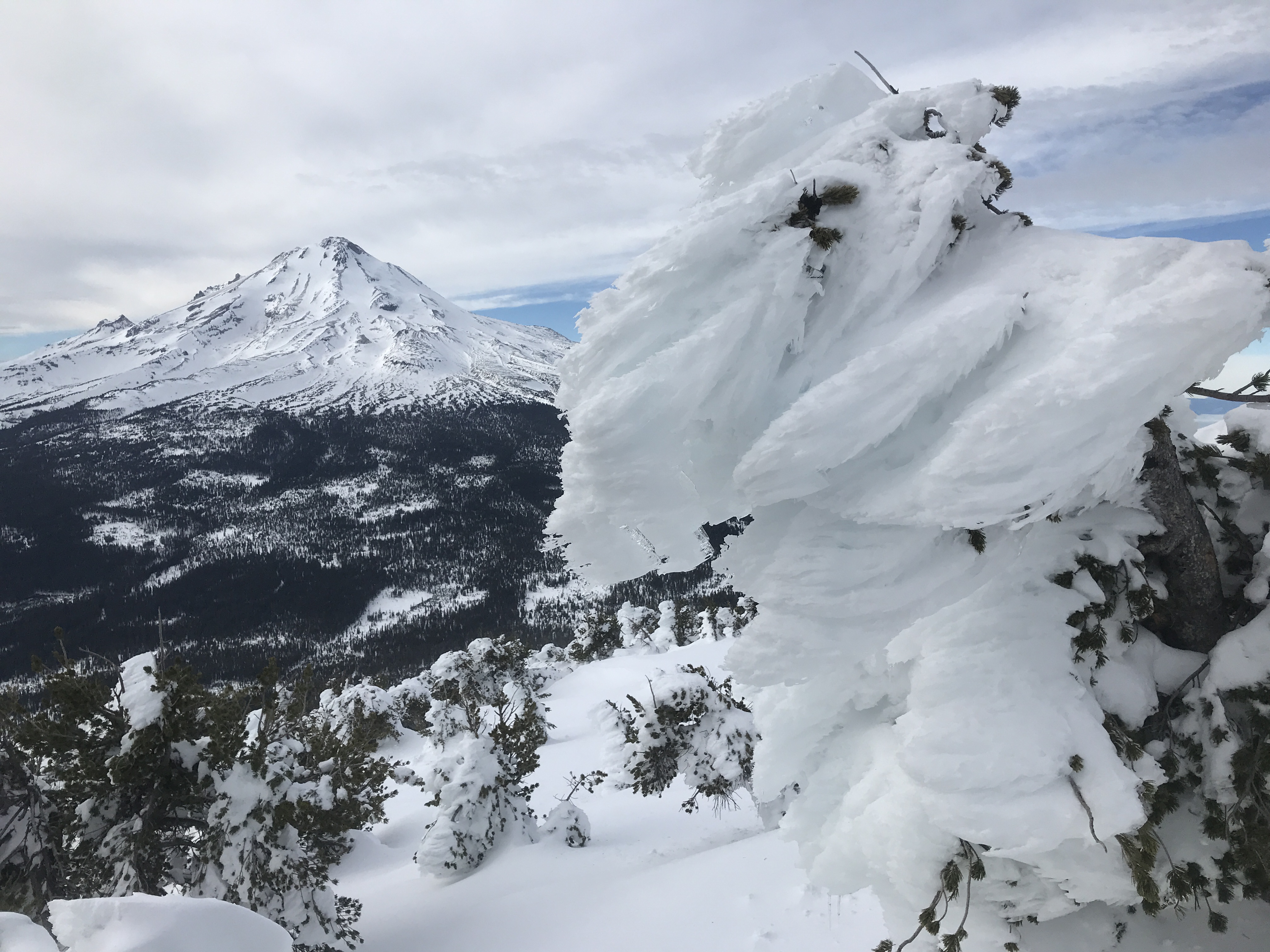
Mount Shasta: East Side & Ash Creek Butte
Location Name:
Ash Creek ButteRegion:
East of Mt ShastaDate and time of observation:
Tue, 12/31/2019 - 1:00pmObservation made by:
PublicLocation Map
96067
Mount Shasta
, CA
United States
41° 26' 50.4924" N, 122° 2' 57.0444" W
See map: Google Maps
California US
Snowpack Observations
Details
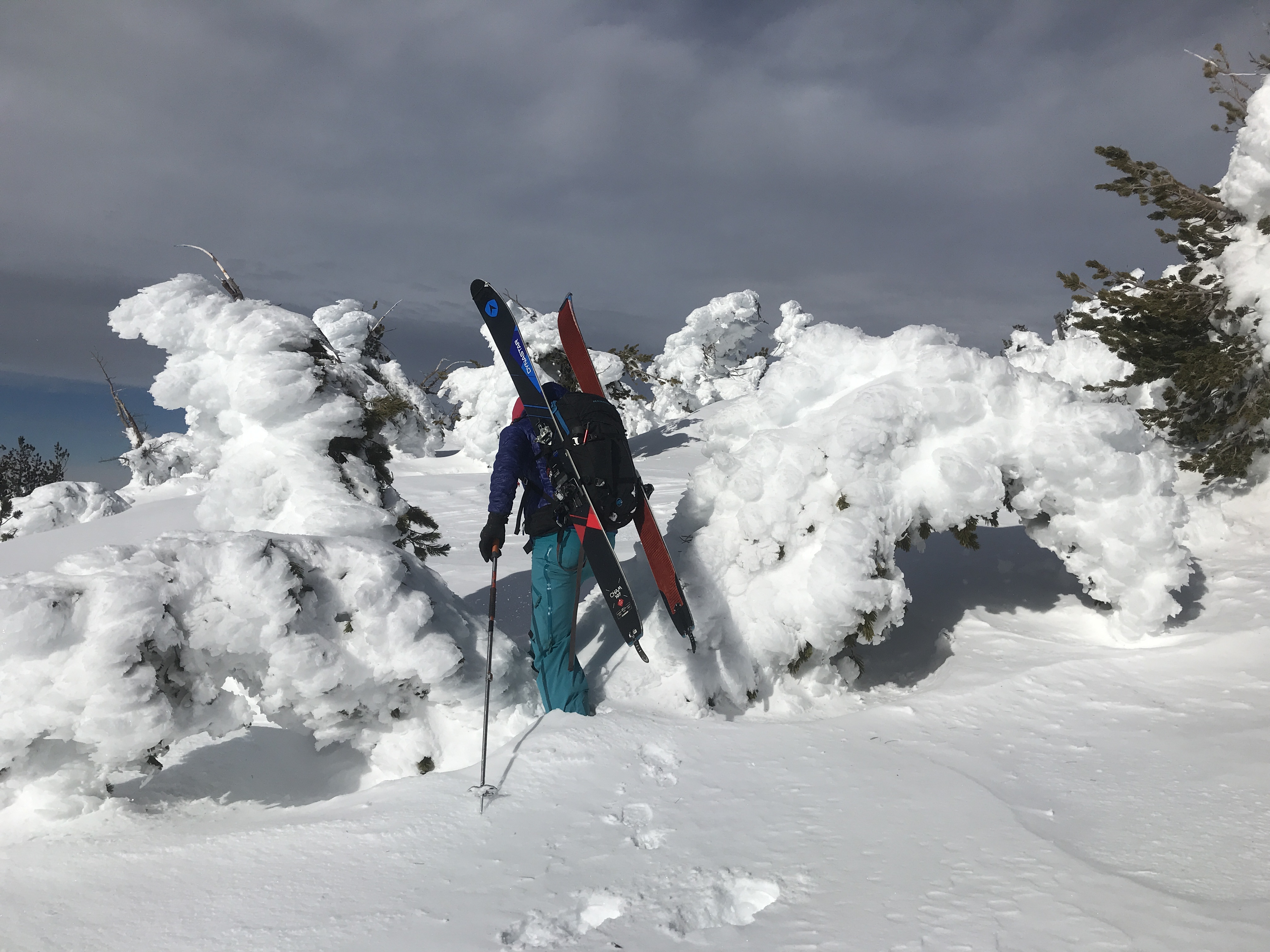
Photos

Weather Observations
Details
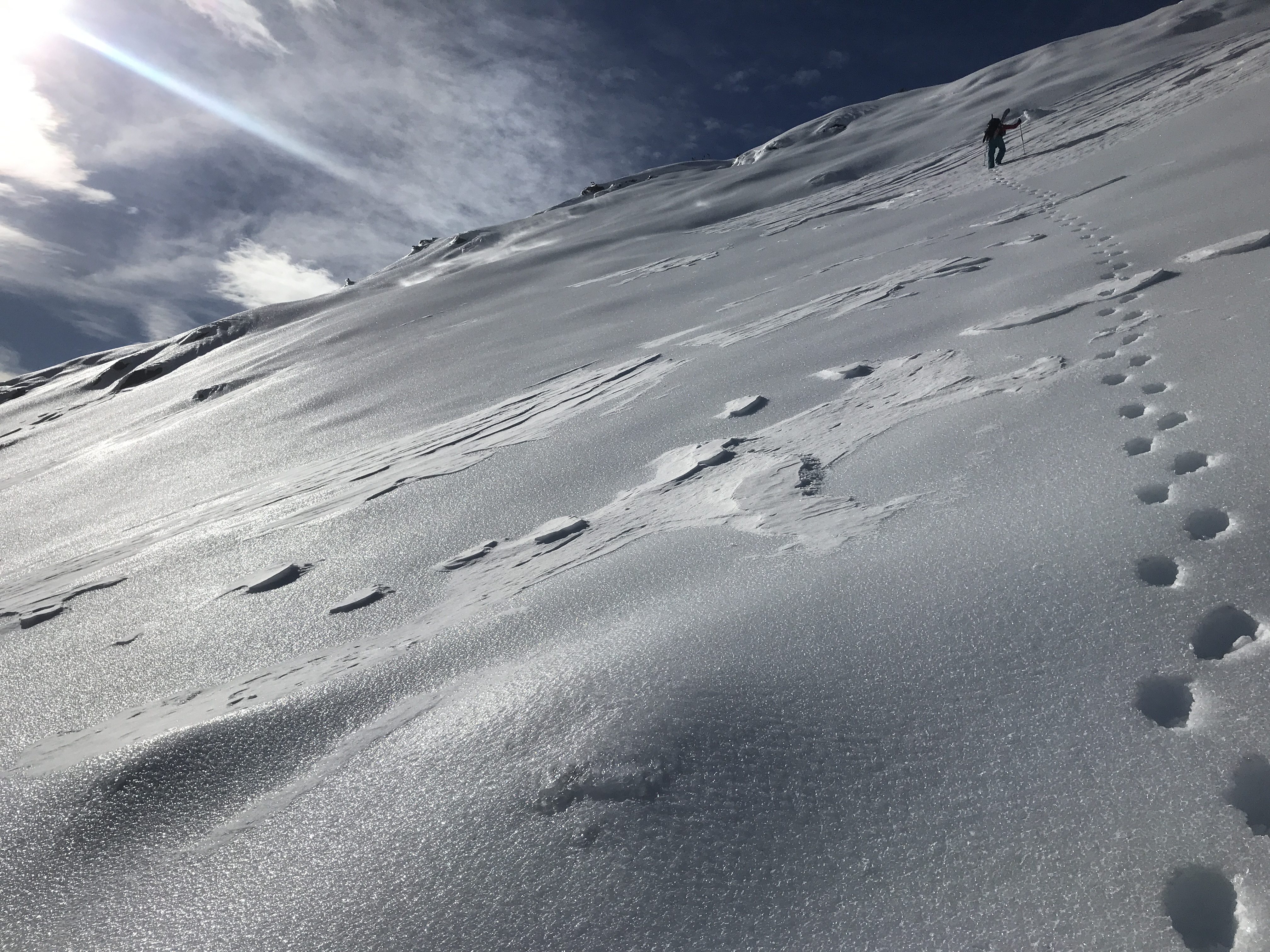
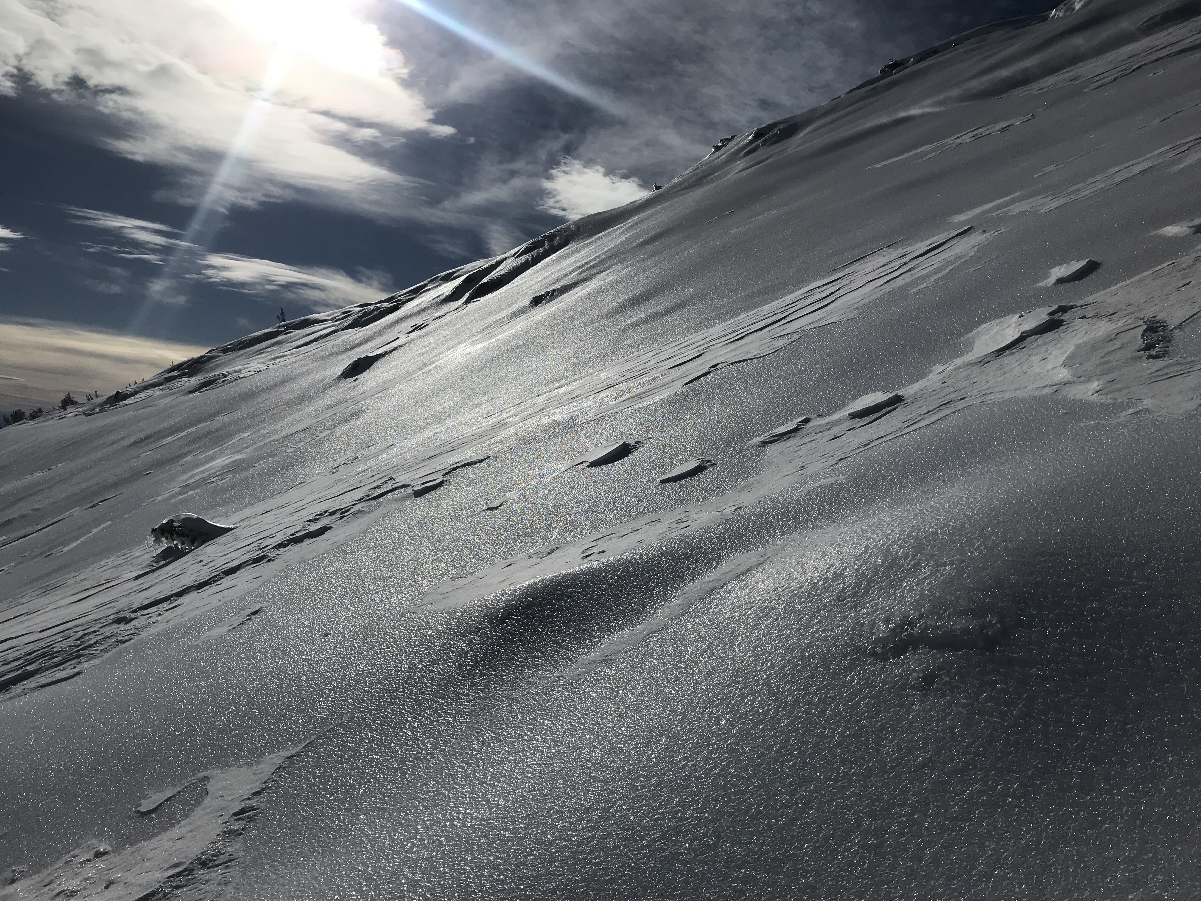
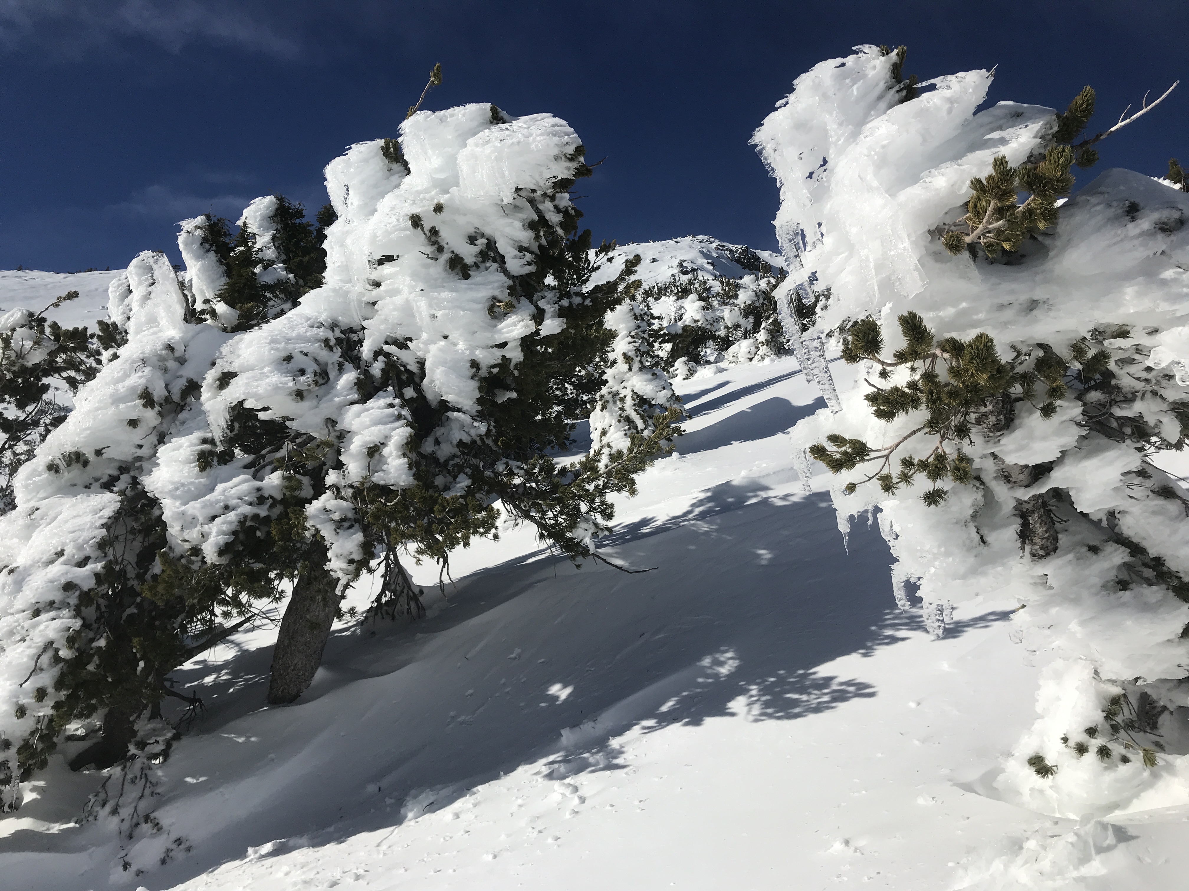
- North/Northwest wind, 10-20 mi/hr over ridgetops, gusting to 25-30 mi/hr. Light wind below treeline.
- Wind blowing snow visible, little to no loading
Statistics
Cloud Cover:
25% of the sky covered by cloudsBlowing Snow:
YesPrecipitation:
NoneAir temperature:
Above FreezingAir temperature trend:
WarmingWind Speed:
StrongWind Direction:
Northwest

12.31.19 - East Side / Ash Creek Butte