

You are here
North Side/Northgate Trailhead Access
Location Name:
North Side/Northgate Trailhead AccessRegion:
Mt. ShastaDate and time of observation:
Wed, 02/09/2022 - 2:30pmObservation made by:
ForecasterRed Flags:
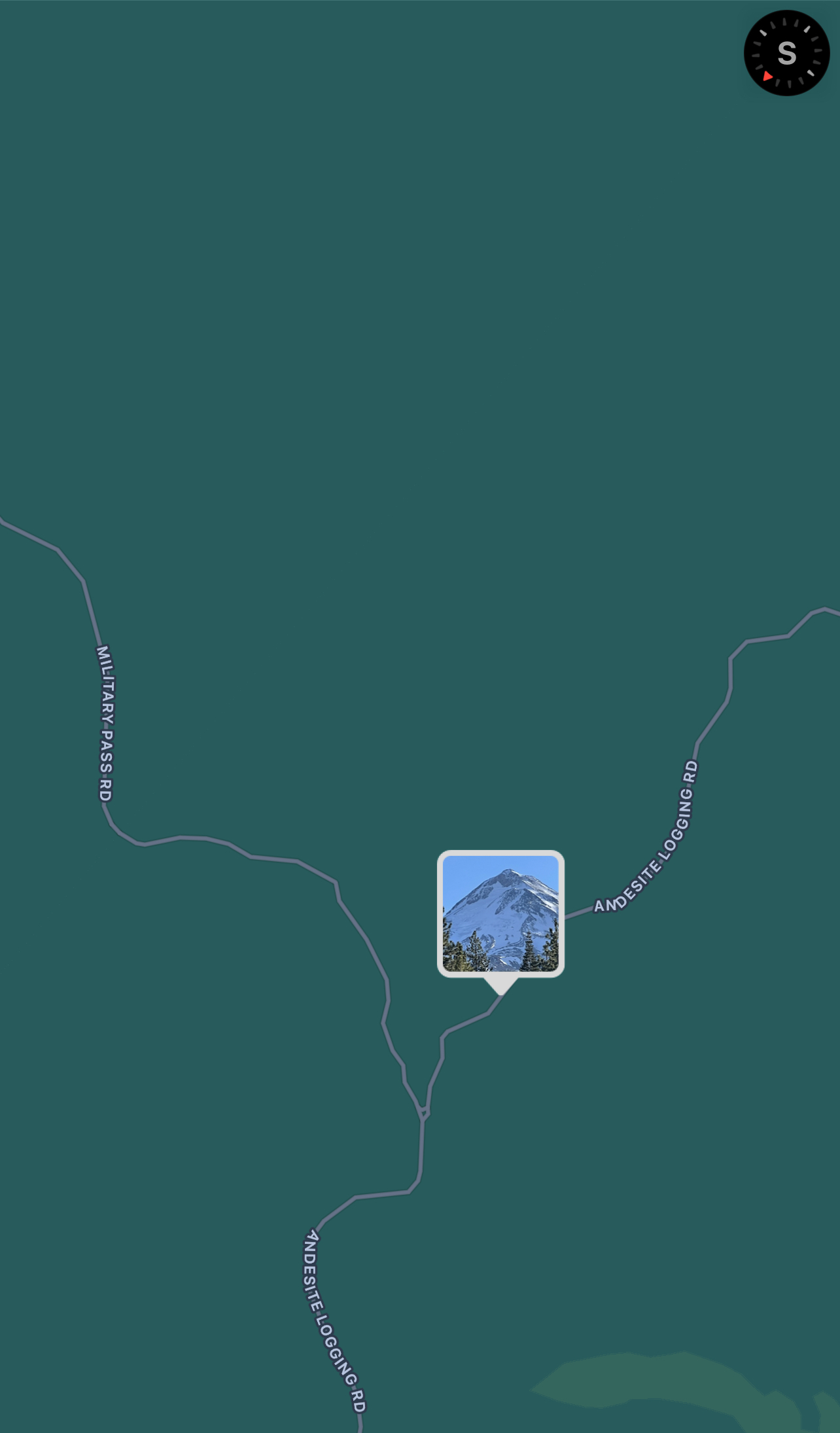
Location Map
96067
Mount Shasta
, CA
United States
41° 30' 42.9372" N, 122° 11' 2.7132" W
See map: Google Maps
California US
Snowpack Observations
Details
Photos

Weather Observations
Details
Clear, sunny and warm - status normal. No precip since January 8th. ![]()
Statistics
Cloud Cover:
ClearBlowing Snow:
NoPrecipitation:
NoneAccumulation rate:
NoneAir temperature:
Above FreezingAir temperature trend:
WarmingWind Speed:
CalmWind Direction:
Northeast

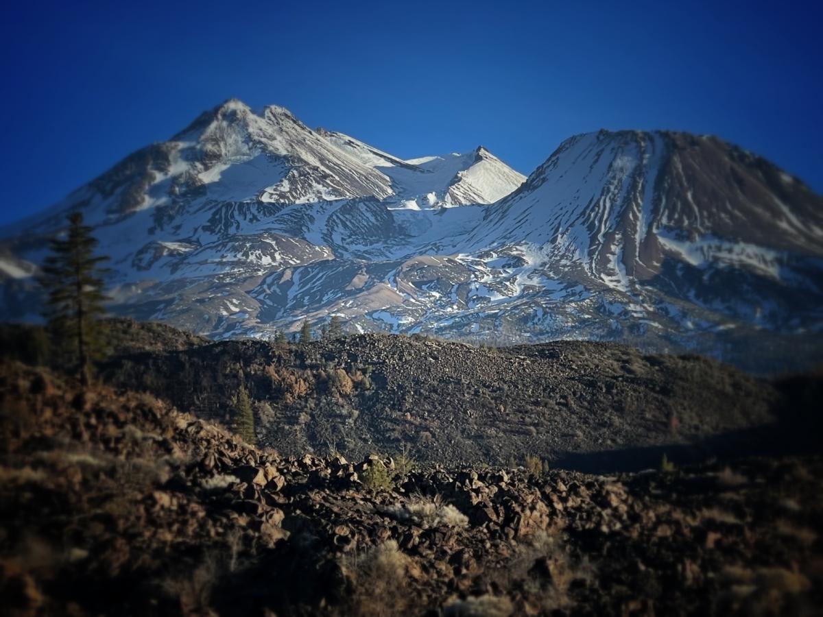
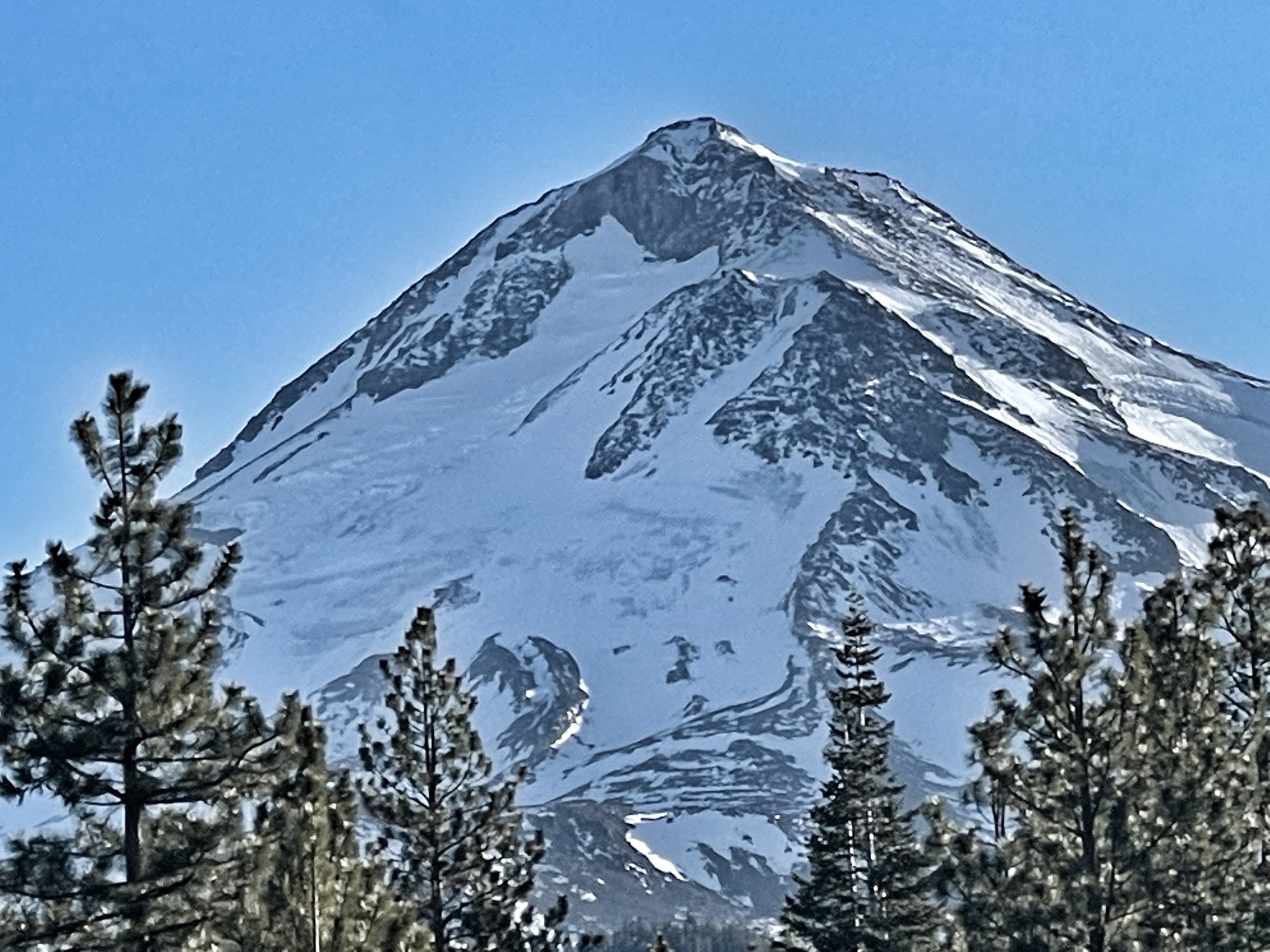
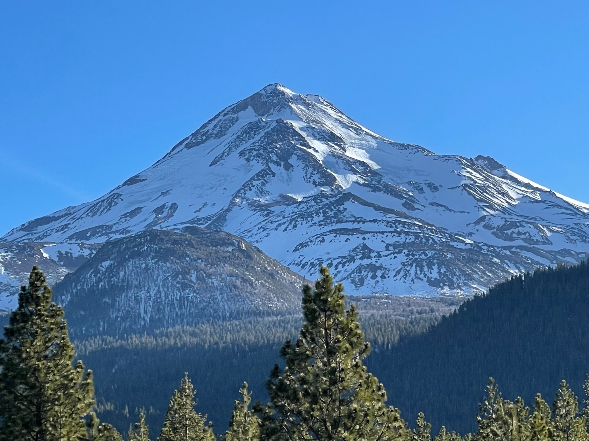
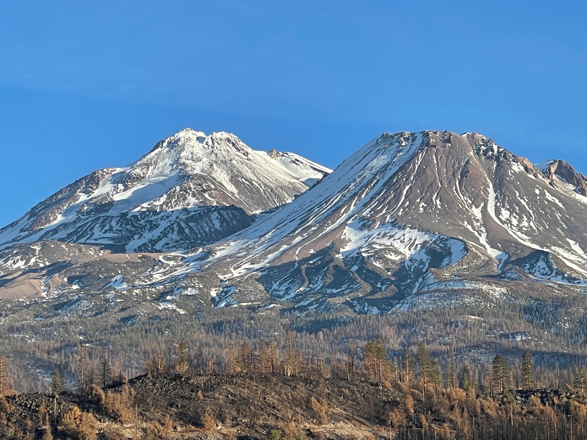
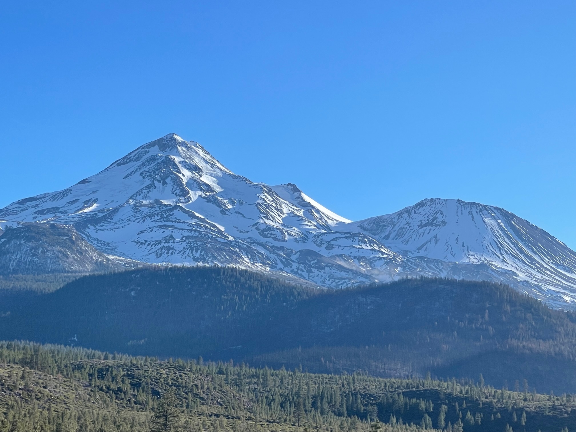
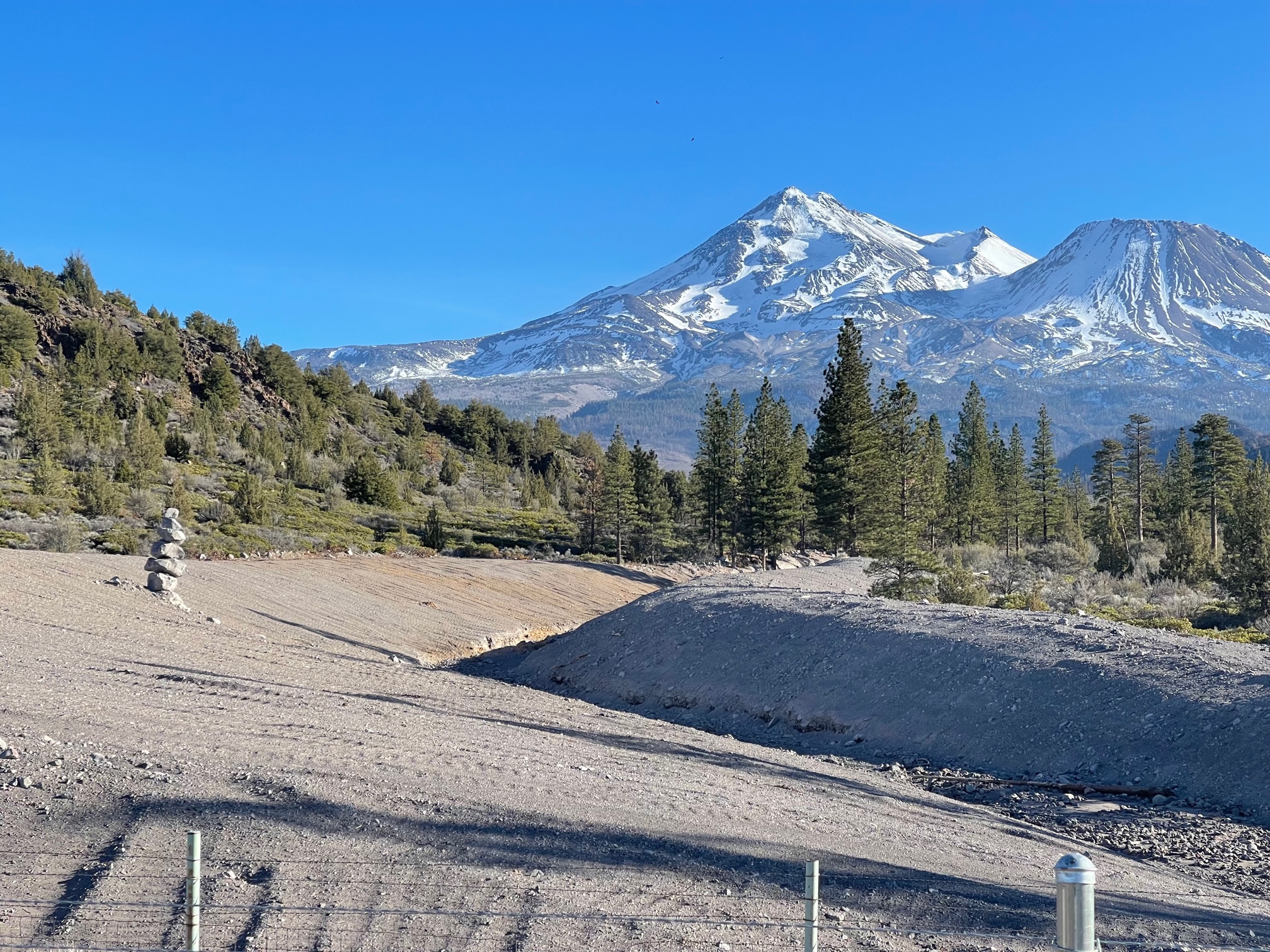
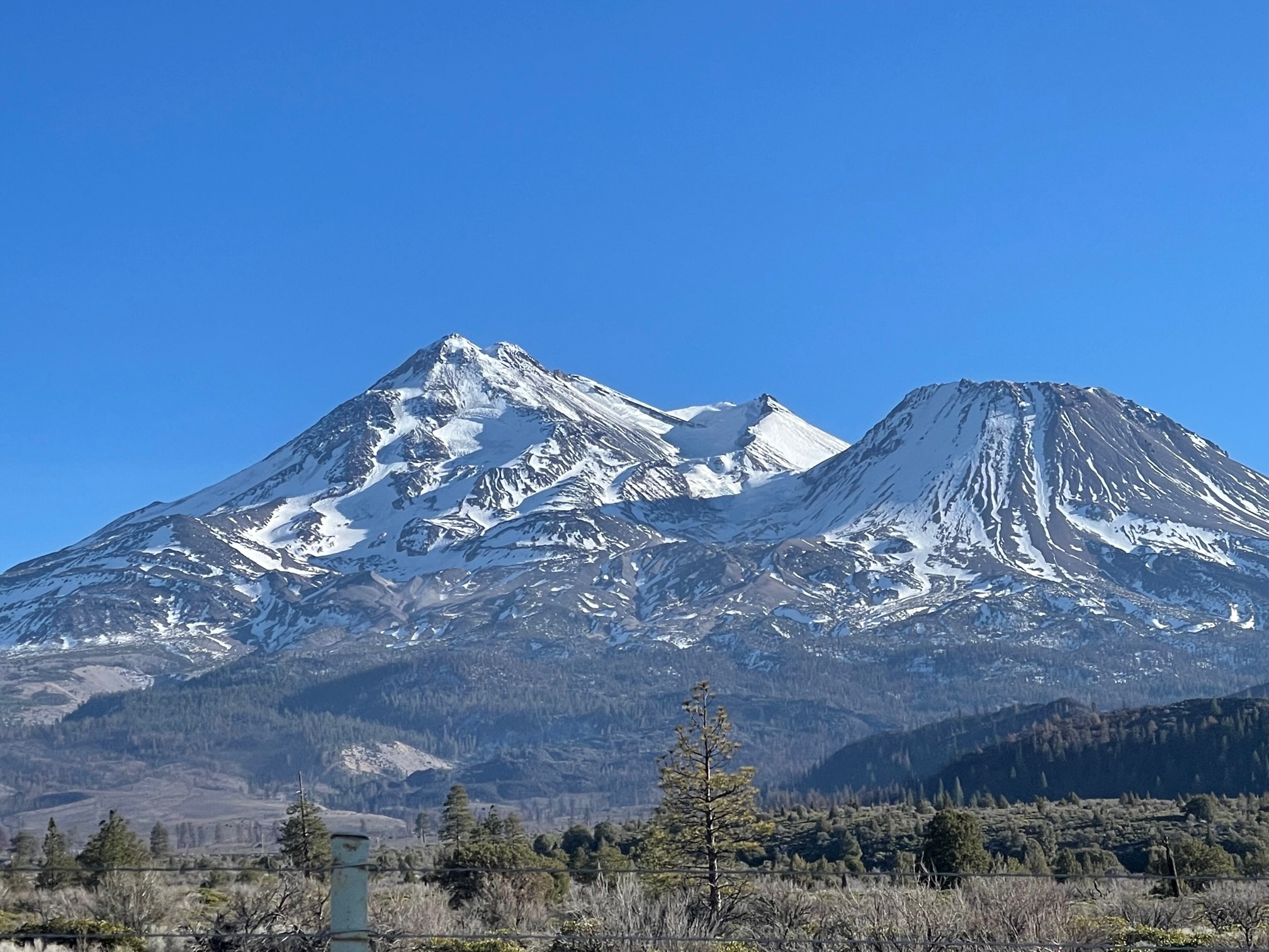
Access to the Northgate trailhead is limited due to snow. One can drive 5-5.5 miles up the road toward the trailhead. This leaves about 3.5-4 road miles to the trailhead. The north side has been hammered by wind, and it is easy to discern this. Icy patches can be seen from afar on the Hotlum/Bolam ridge route and Bolam glacier. These areas are NO FALL ZONES. Serious business, folks. We've seen slips and falls in these exact locations, resulting in serious injury and death. If you choose to climb these routes, be ready for the business.
Military Pass is still closed and impassable. Snow grooming has been taking place along many of the Tri-Forest Snowmobile Trails. Best to access these from the other side, Pilgrim Creek Sno-Park.