

You are here
Northside Access and Conditions
Location Name:
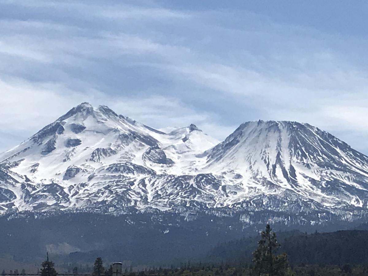
Northside Mt ShastaRegion:
Mt. ShastaDate and time of observation:
Thu, 03/05/2020 - 1:30pmObservation made by:
ForecasterLocation Map
96067
Mount Shasta
, CA
United States
41° 28' 6.7944" N, 122° 10' 25.8528" W
See map: Google Maps
California US
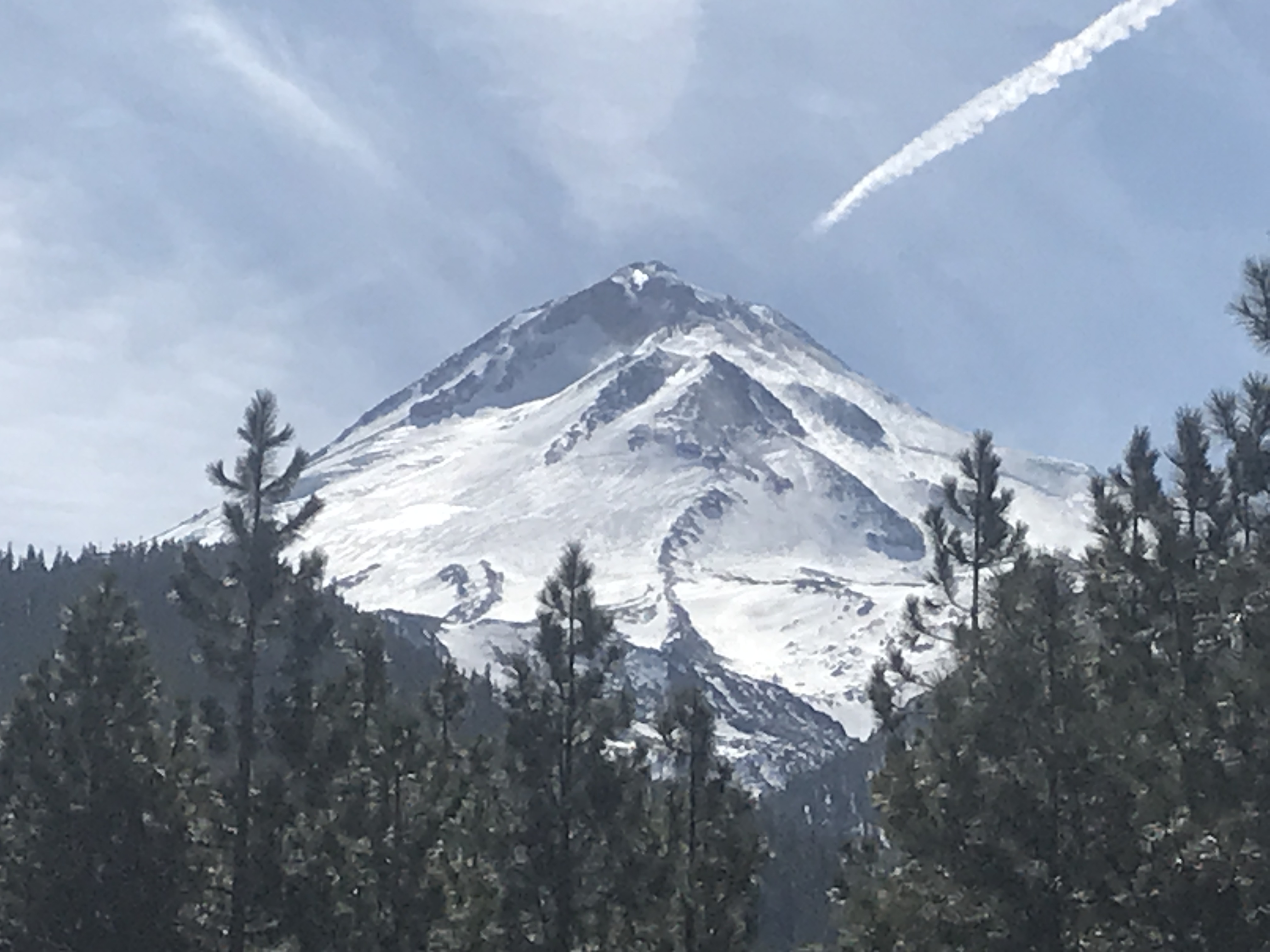
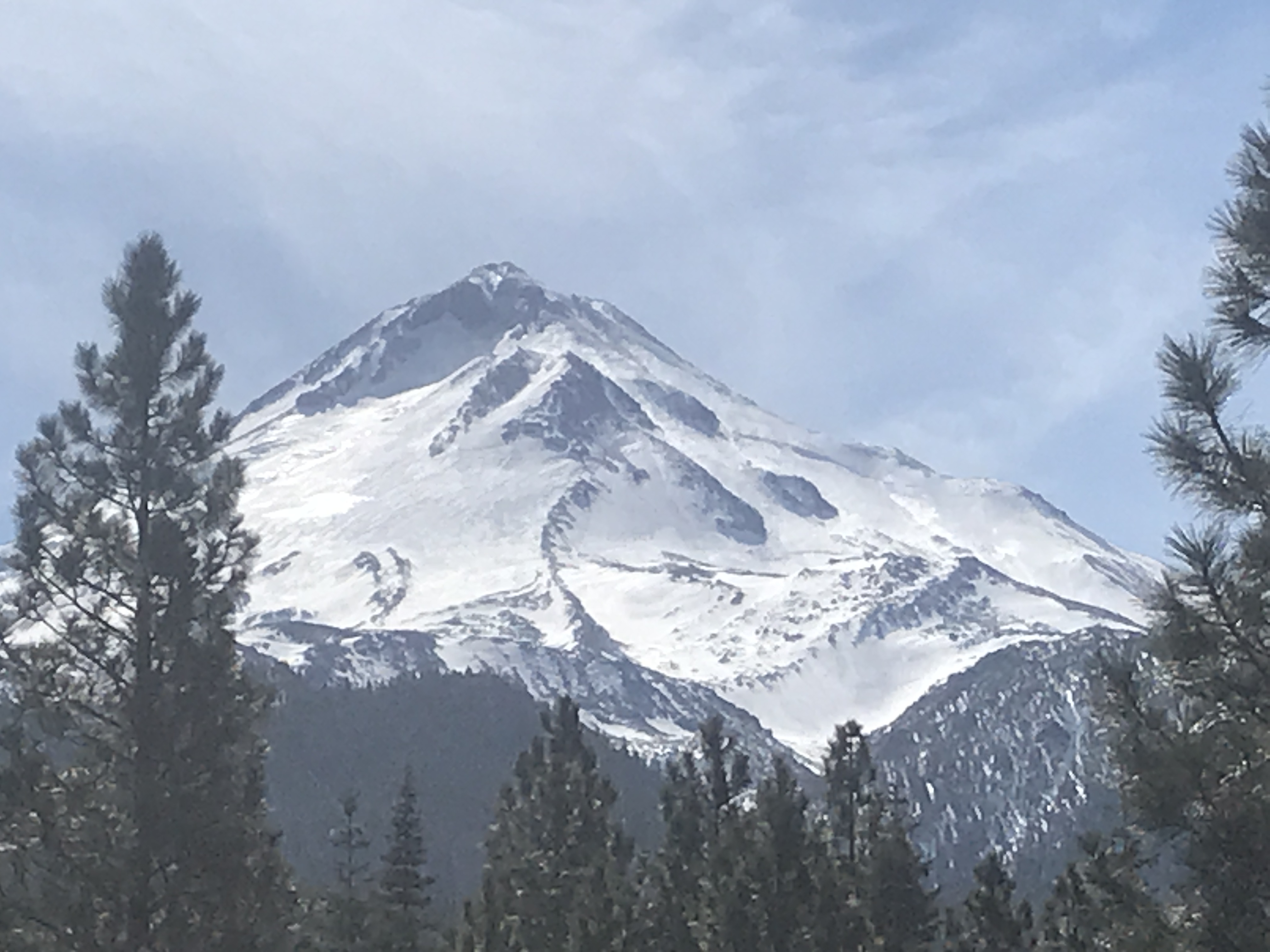
Snowpack Observations
Details
Photos
Weather Observations
Statistics
Cloud Cover:
ClearBlowing Snow:
NoPrecipitation:
NoneAccumulation rate:
NoneAir temperature:
Above FreezingAir temperature trend:
CoolingWind Speed:
ModerateWind Direction:
South

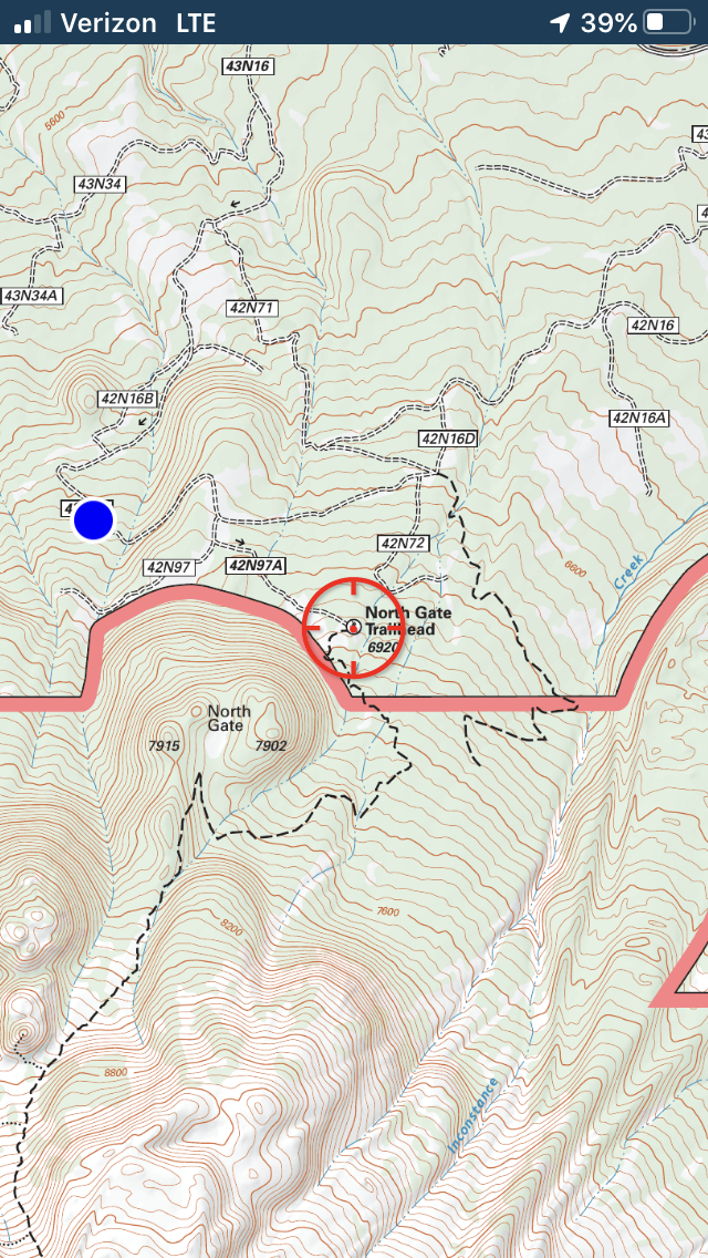
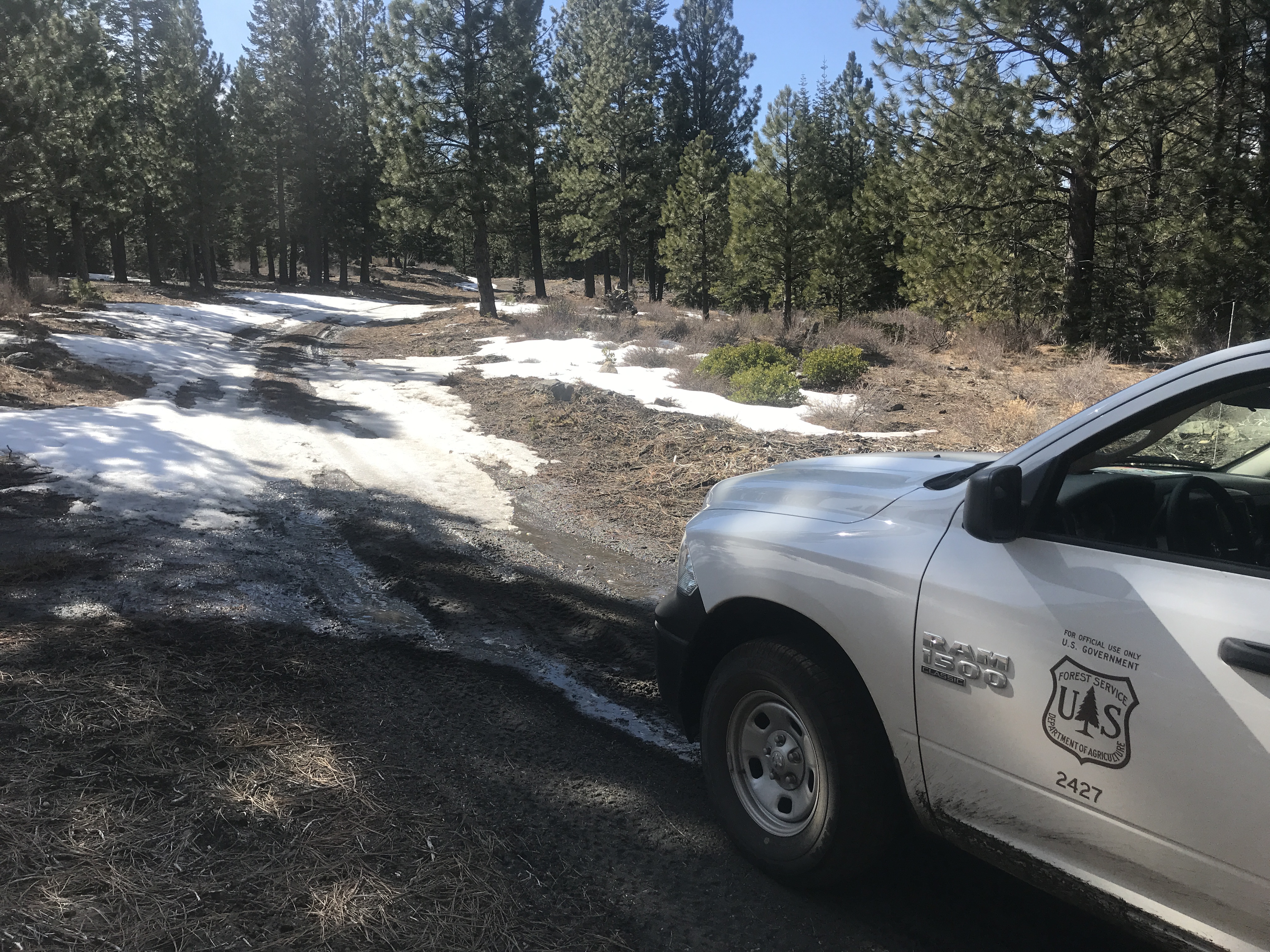
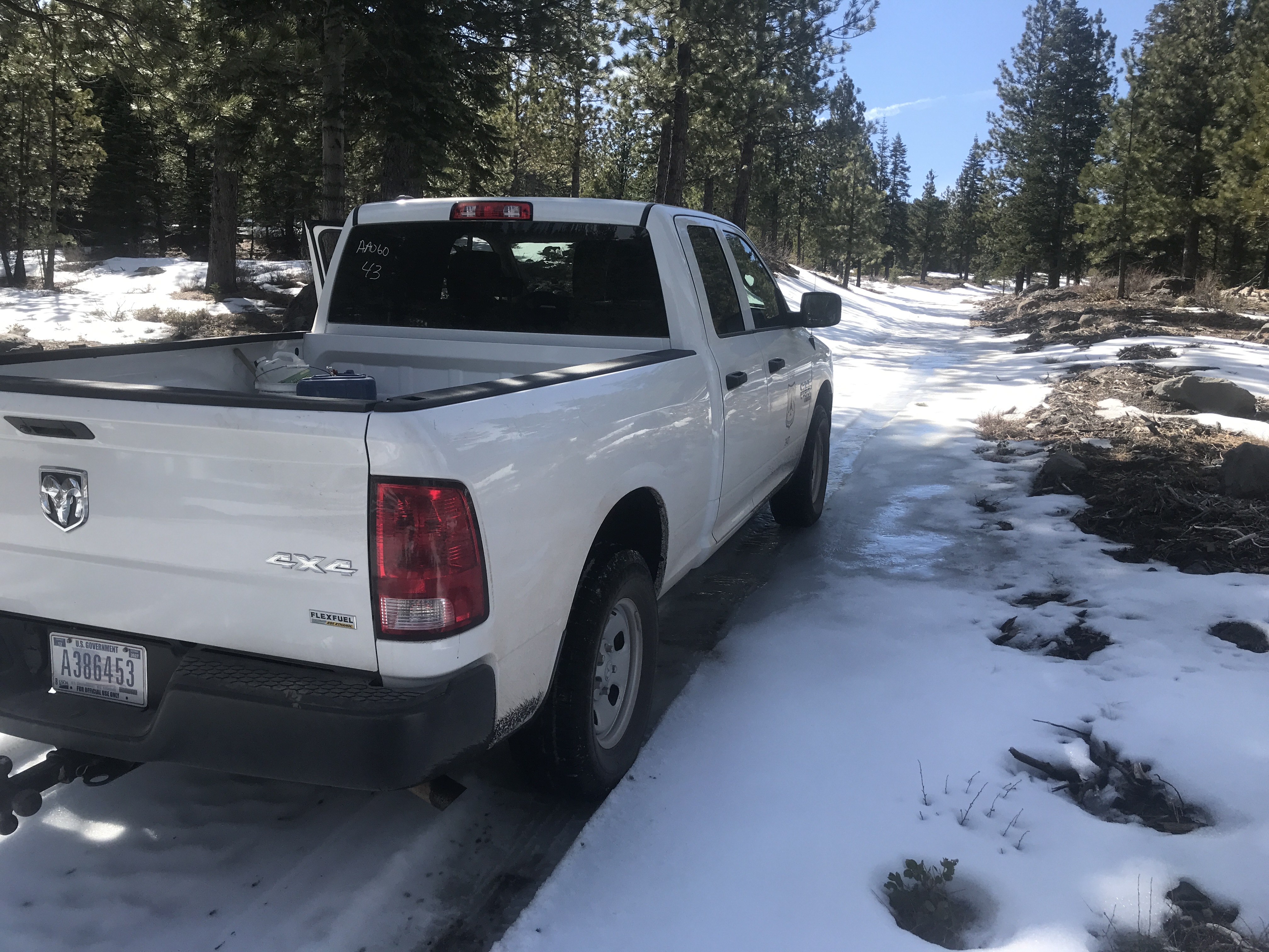
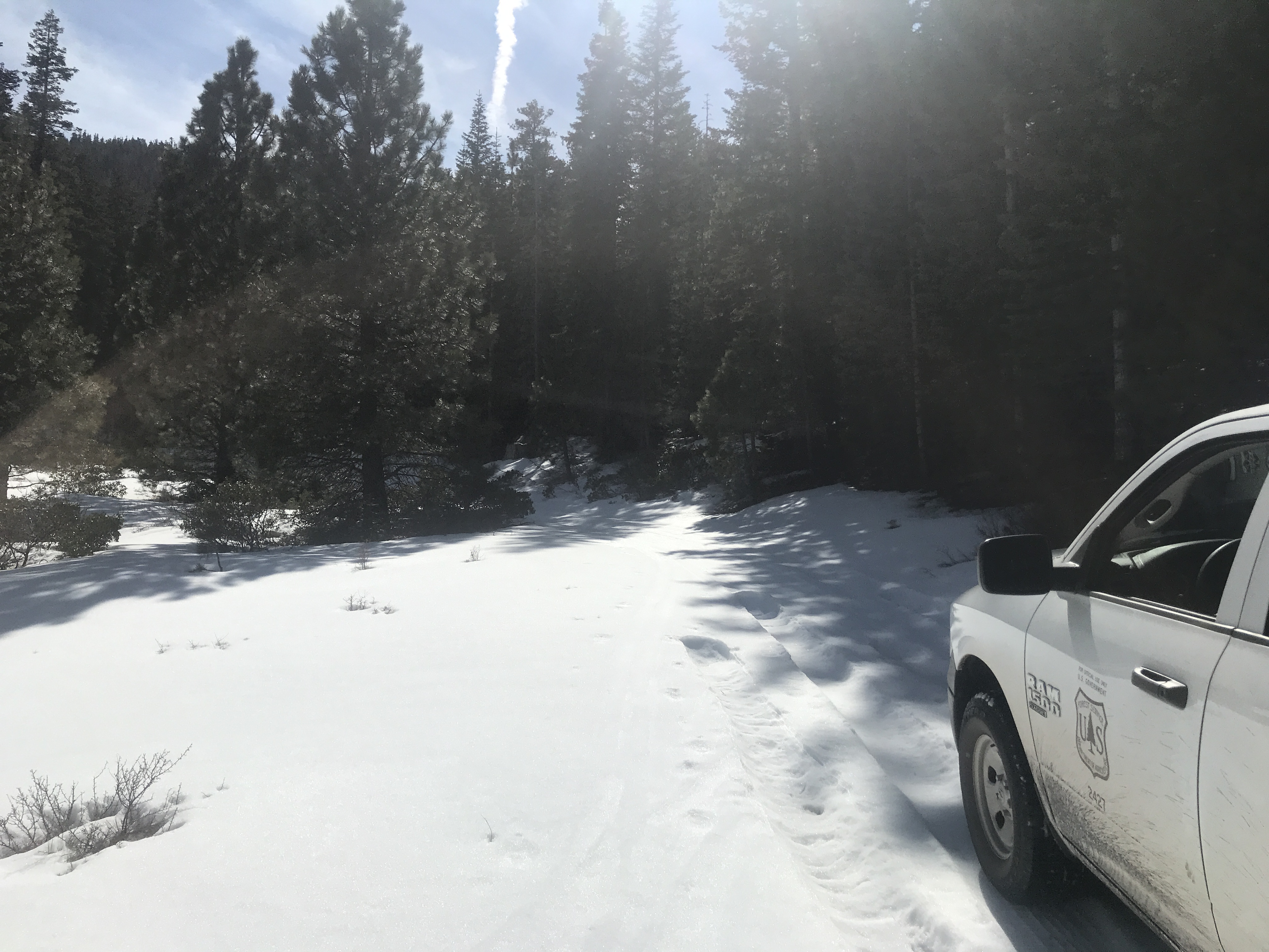
3.05.2020 - Access to the Northgate Trailhead and General Conditions