

You are here
Old Ski Bowl - Warm Up
Location Name:
Old Ski BowlRegion:
Mt. ShastaDate and time of observation:
Sun, 04/09/2023 - 2:00pmObservation made by:
ForecasterRed Flags:
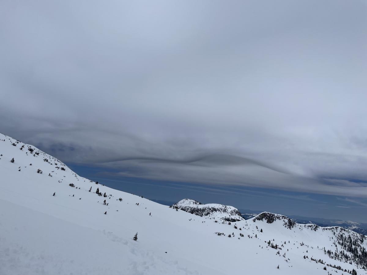
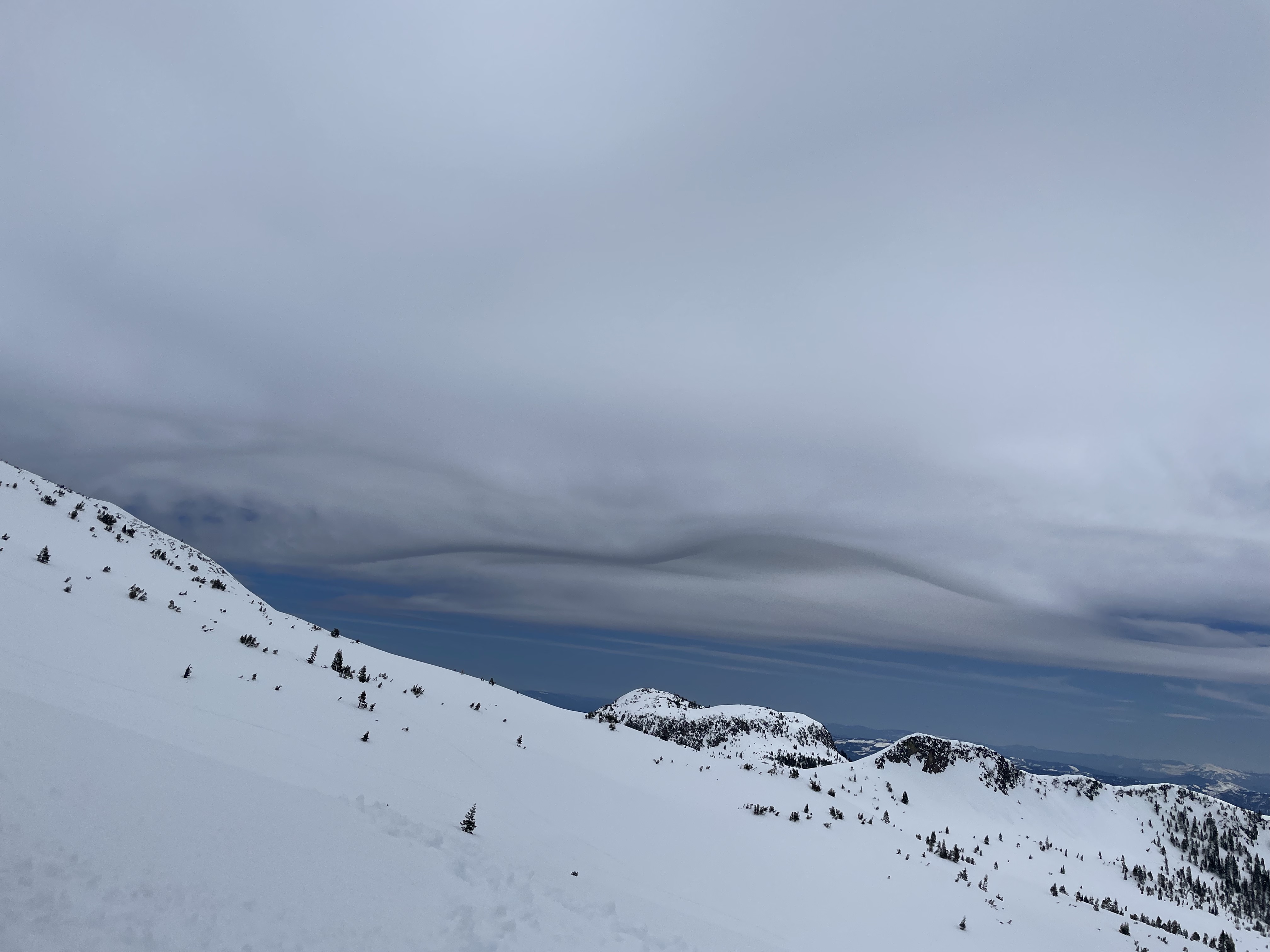
Rapid warming
Location Map
96067
Mount Shasta
, CA
United States
41° 21' 51.8976" N, 122° 11' 37.8168" W
See map: Google Maps
California US
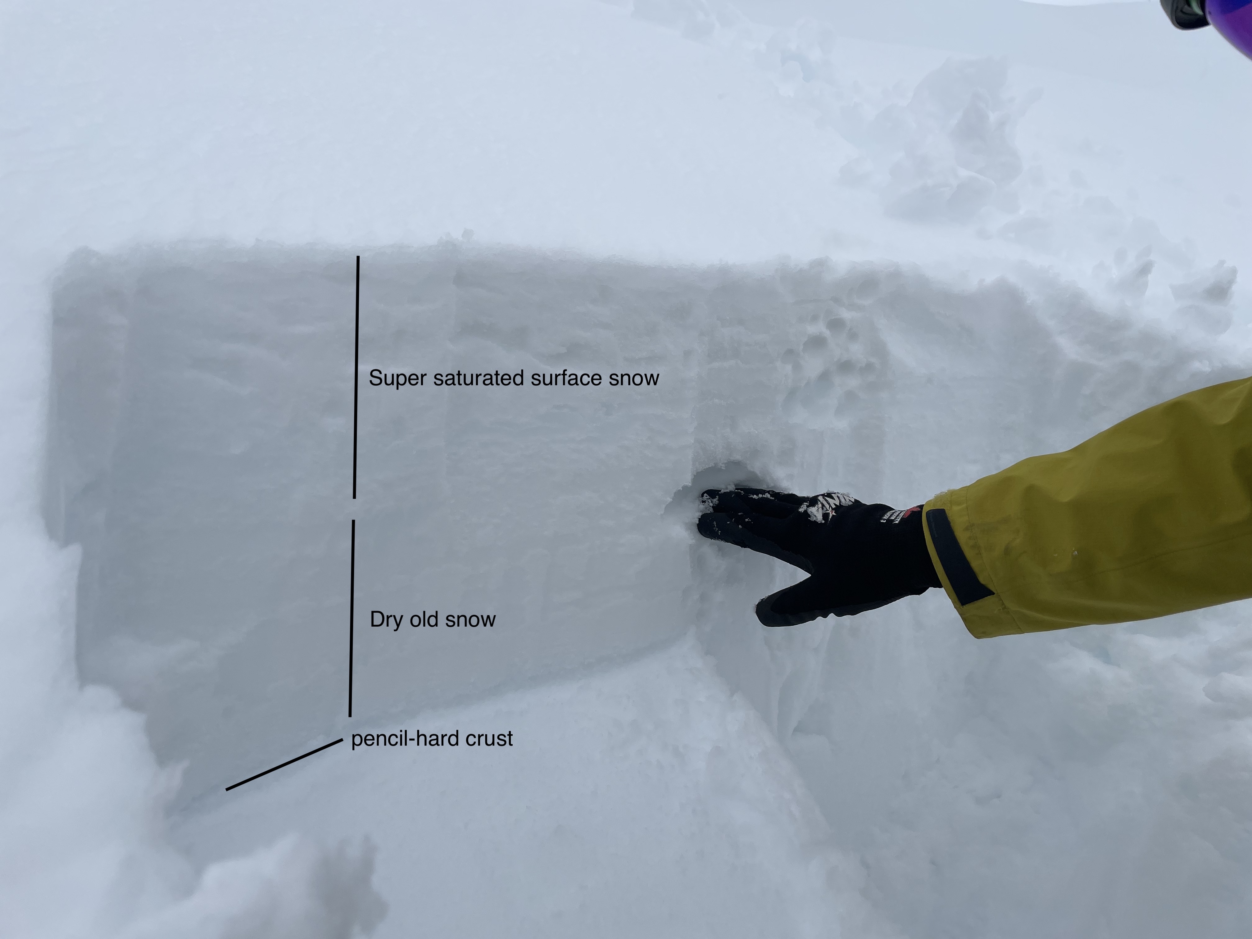
Snowpack Observations
Details
Photos
Weather Observations
Statistics
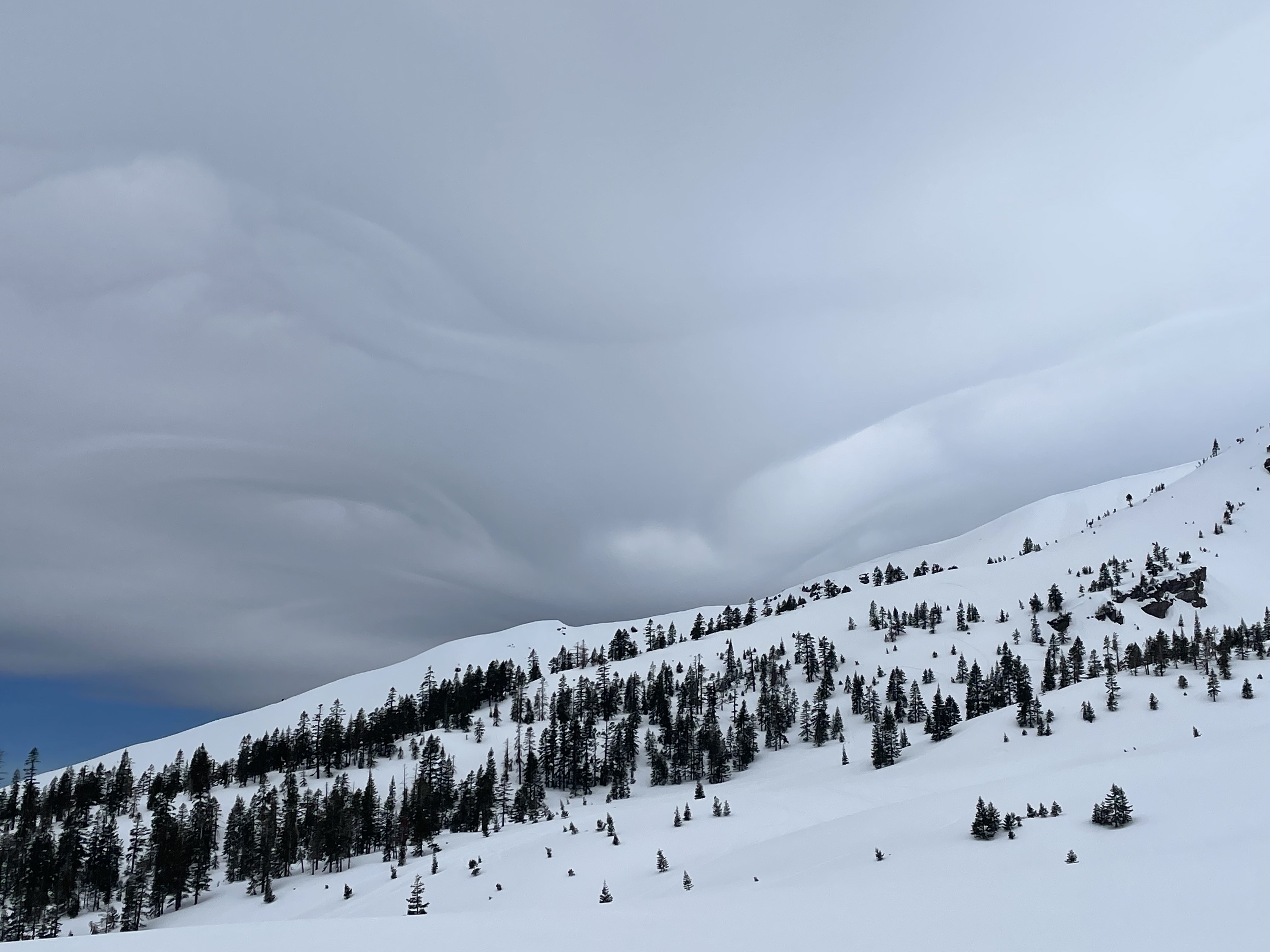
Cloud Cover:
75% of the sky covered by cloudsBlowing Snow:
NoPrecipitation:
NoneAccumulation rate:
NoneAir temperature:
Above FreezingAir temperature trend:
WarmingWind Speed:
LightWind Direction:
West

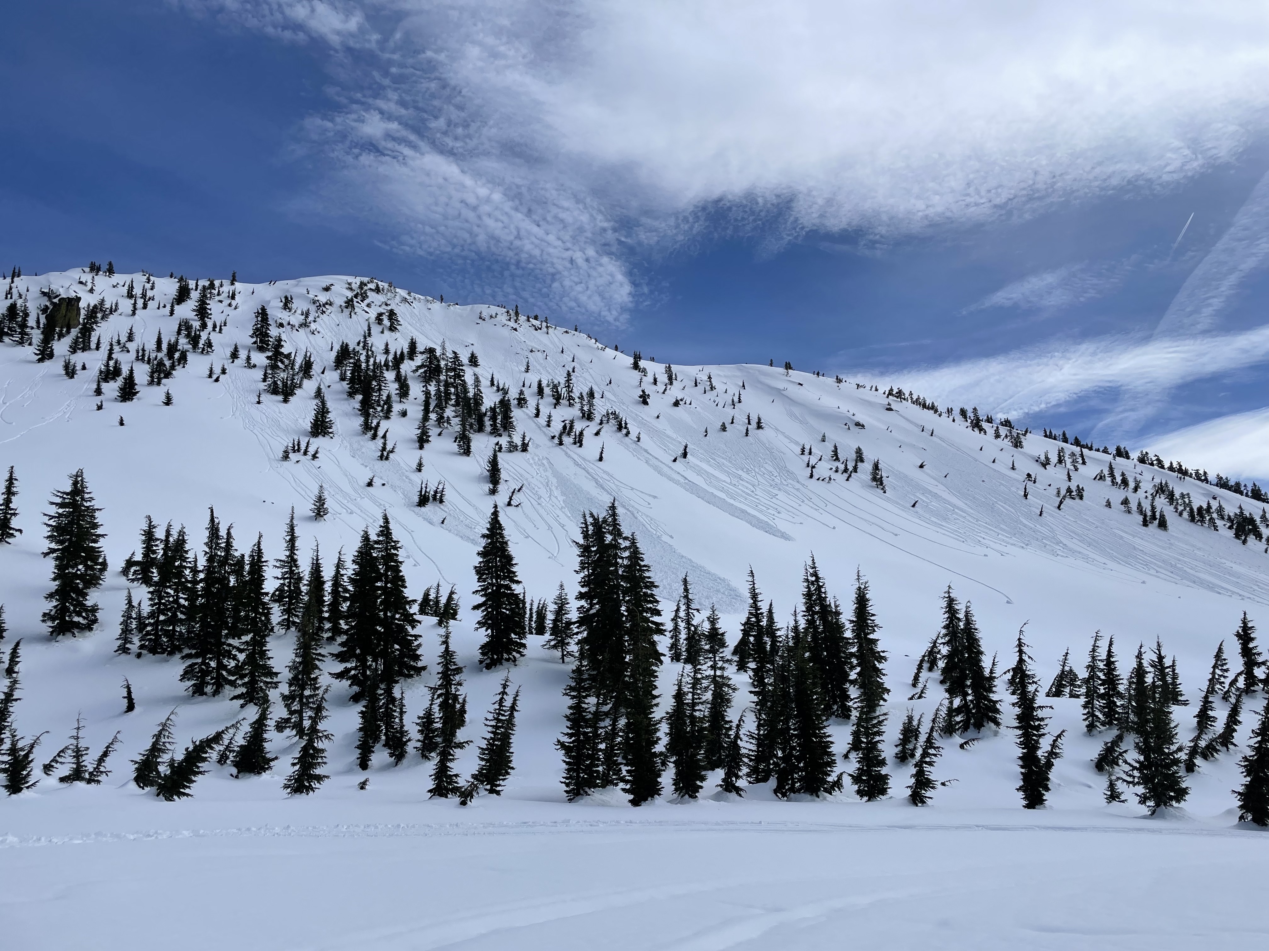
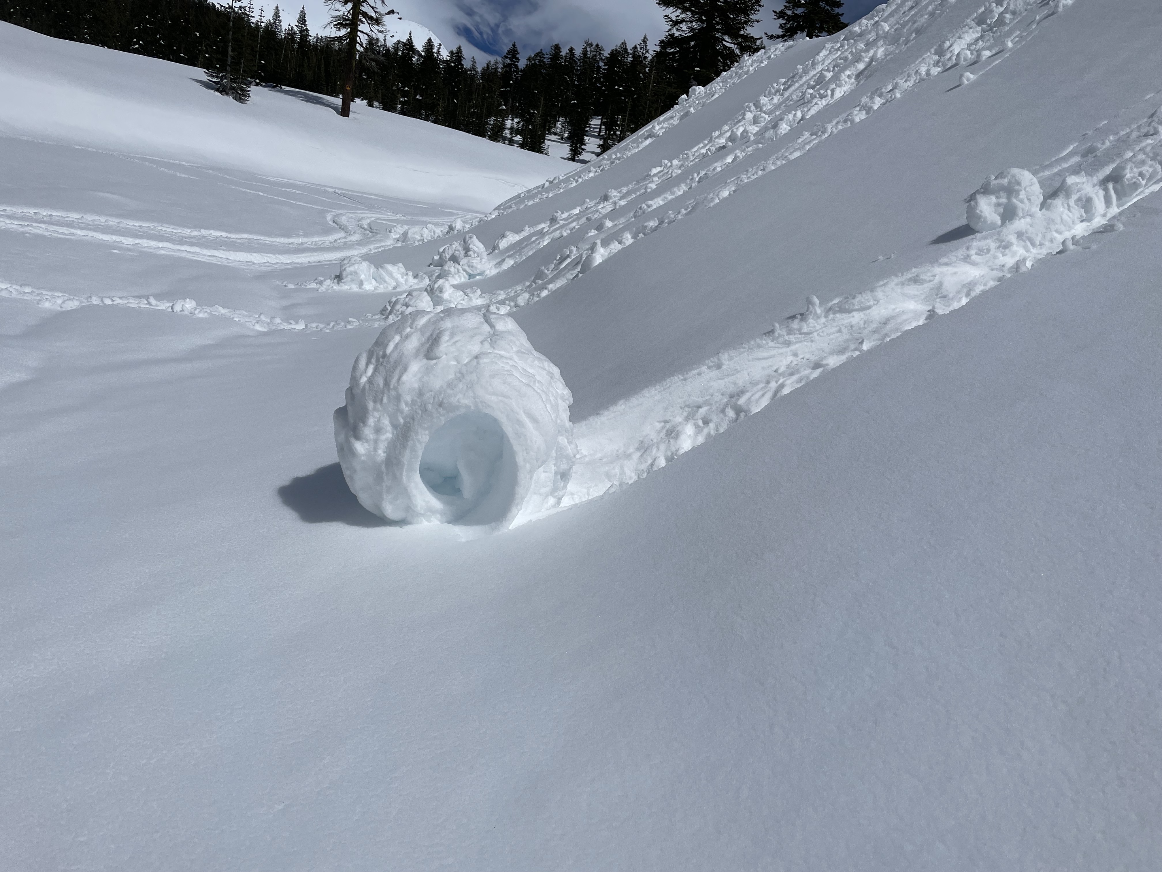
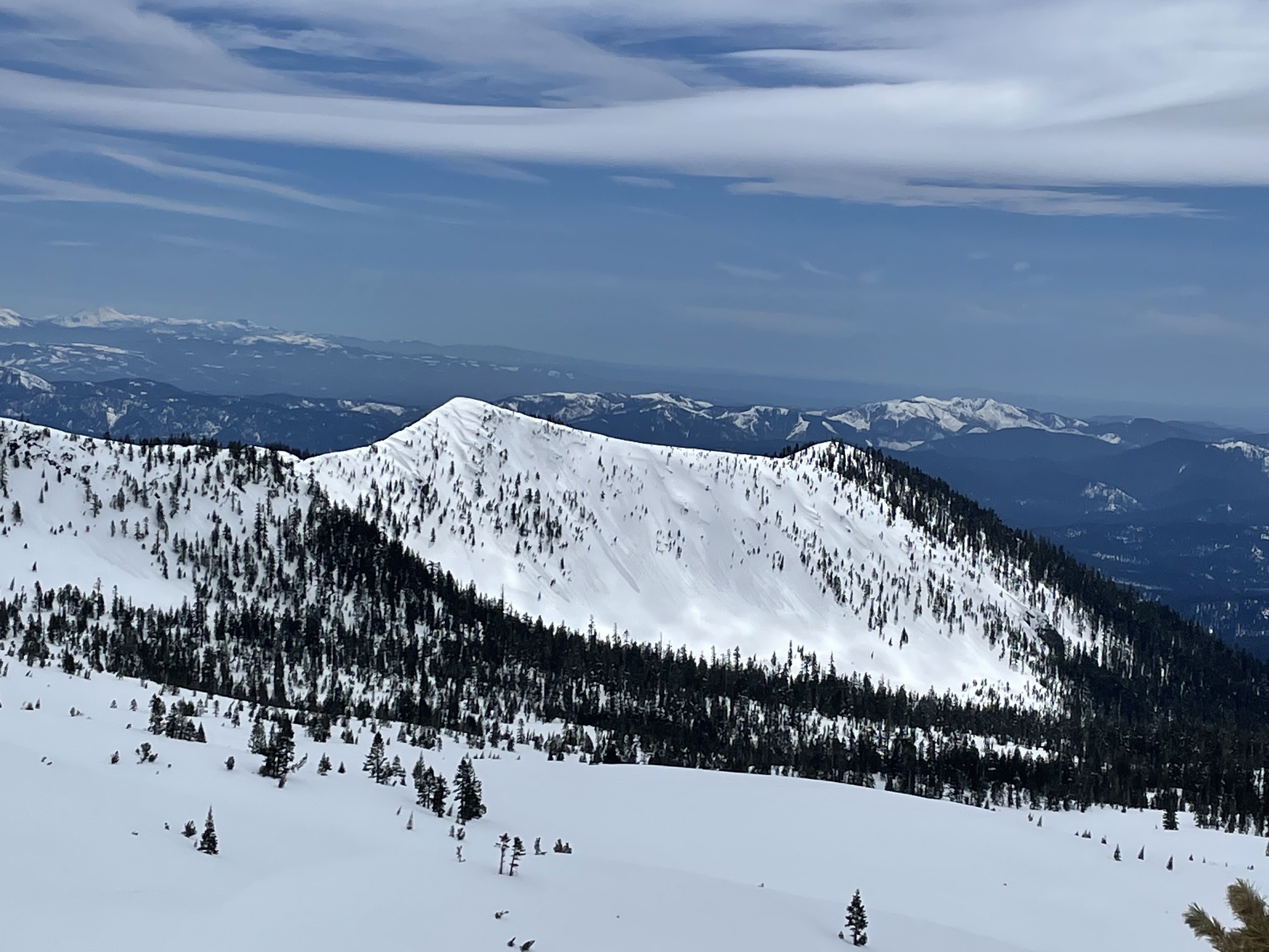
Observations from the Old Ski Bowl this afternoon
Weather Trends:
Snowpack Observations: