

You are here
Post Storm - Ice & Rime Glaze on Mt Shasta
Location Name:
Mount ShastaRegion:
Mt. ShastaDate and time of observation:
Fri, 12/23/2022 - 11:30amObservation made by:
ForecasterLocation Map
96067
Mount Shasta
, CA
United States
41° 22' 43.572" N, 122° 12' 19.6308" W
See map: Google Maps
California US
Snowpack Observations
Details
Photos
Videos
Weather Observations
Details
Statistics
Cloud Cover:
75% of the sky covered by cloudsBlowing Snow:
NoPrecipitation:
NoneAccumulation rate:
NoneAir temperature:
Above FreezingAir temperature trend:
WarmingWind Speed:
ModerateWind Direction:
West

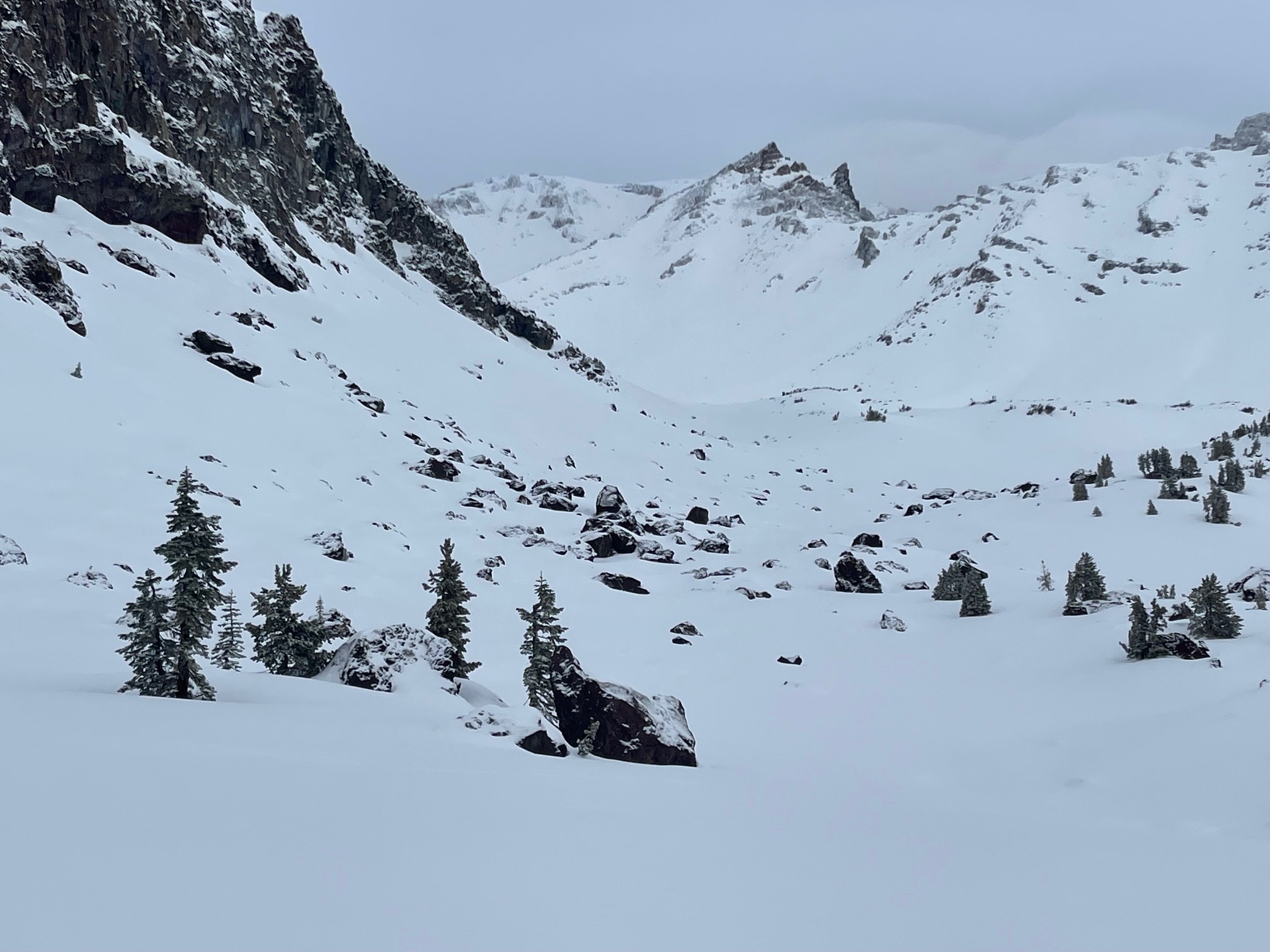
Today's objective was to get well above treeline and see if any actual dry(ish) snow fell on the mountain from last night's small storm, and check on wind and blowing snow.
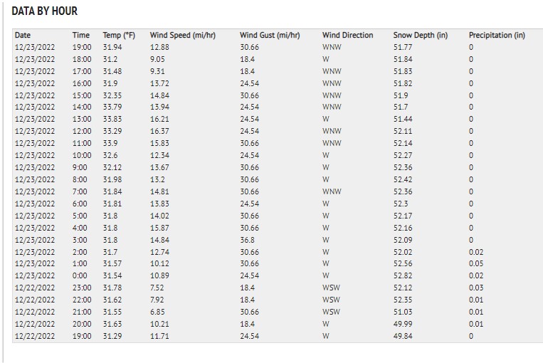
Below treeline, trees were dripping like crazy even with cloudy skies. It felt very coastal moving through the foggy mist. Visibility was terrible. Temperatures were above freezing, maxing out at 33 degrees F at 8,000 feet. About an inch of very wet snow could be measured in some areas, resting on top of a soft crust.
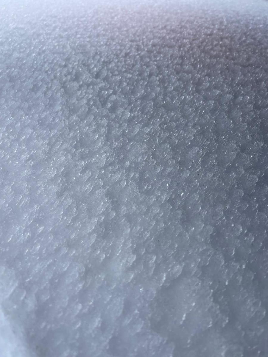
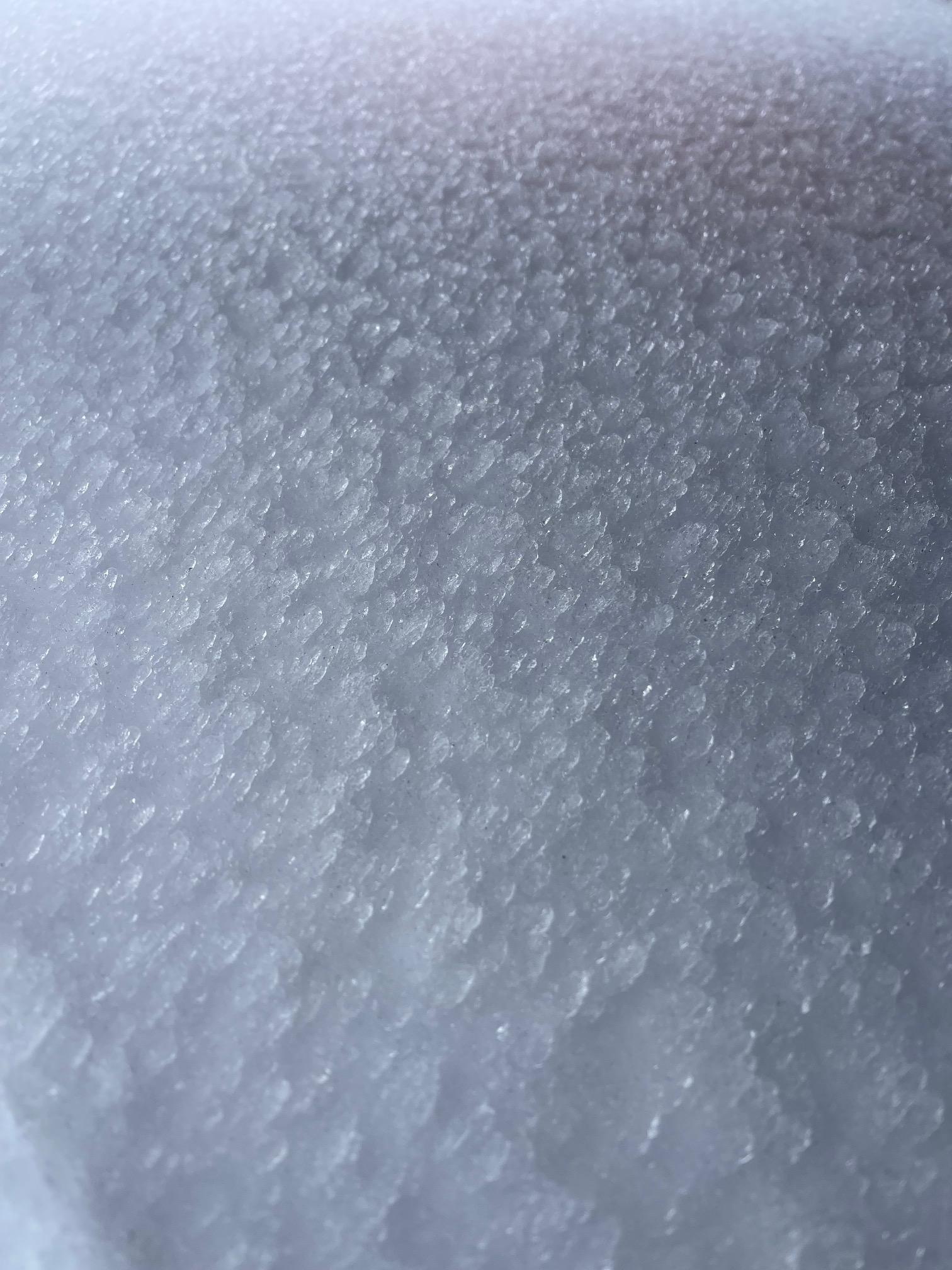
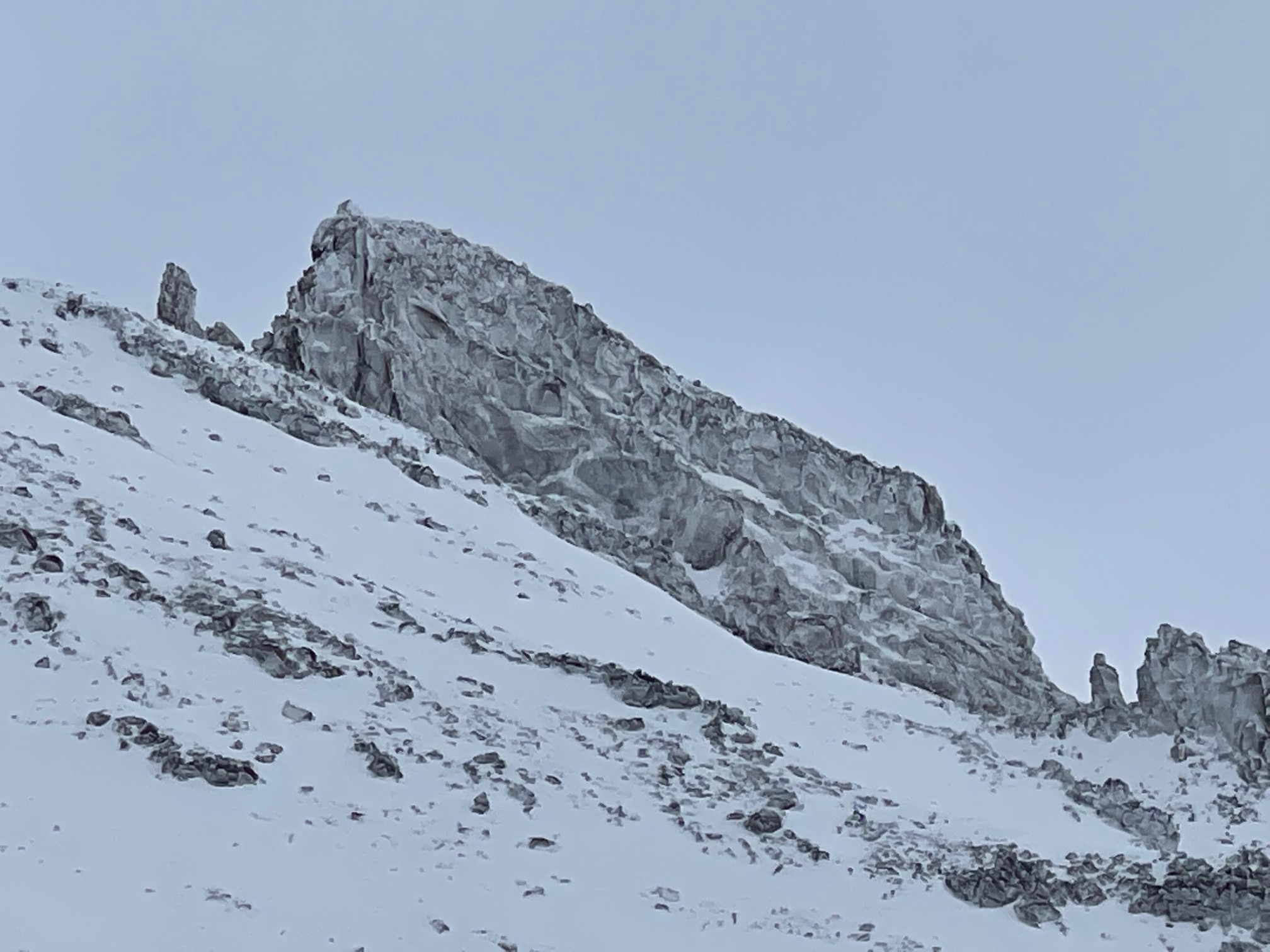
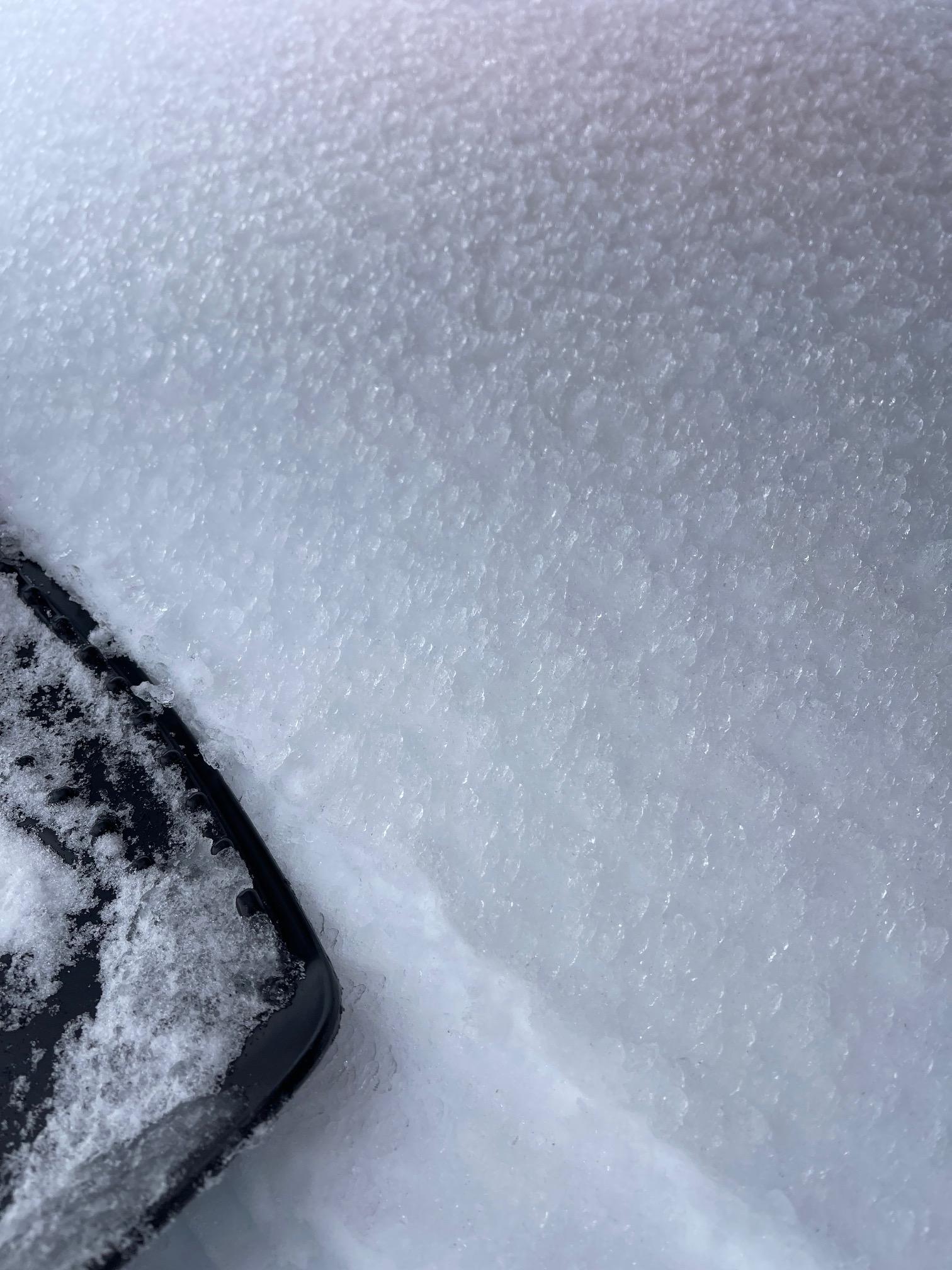
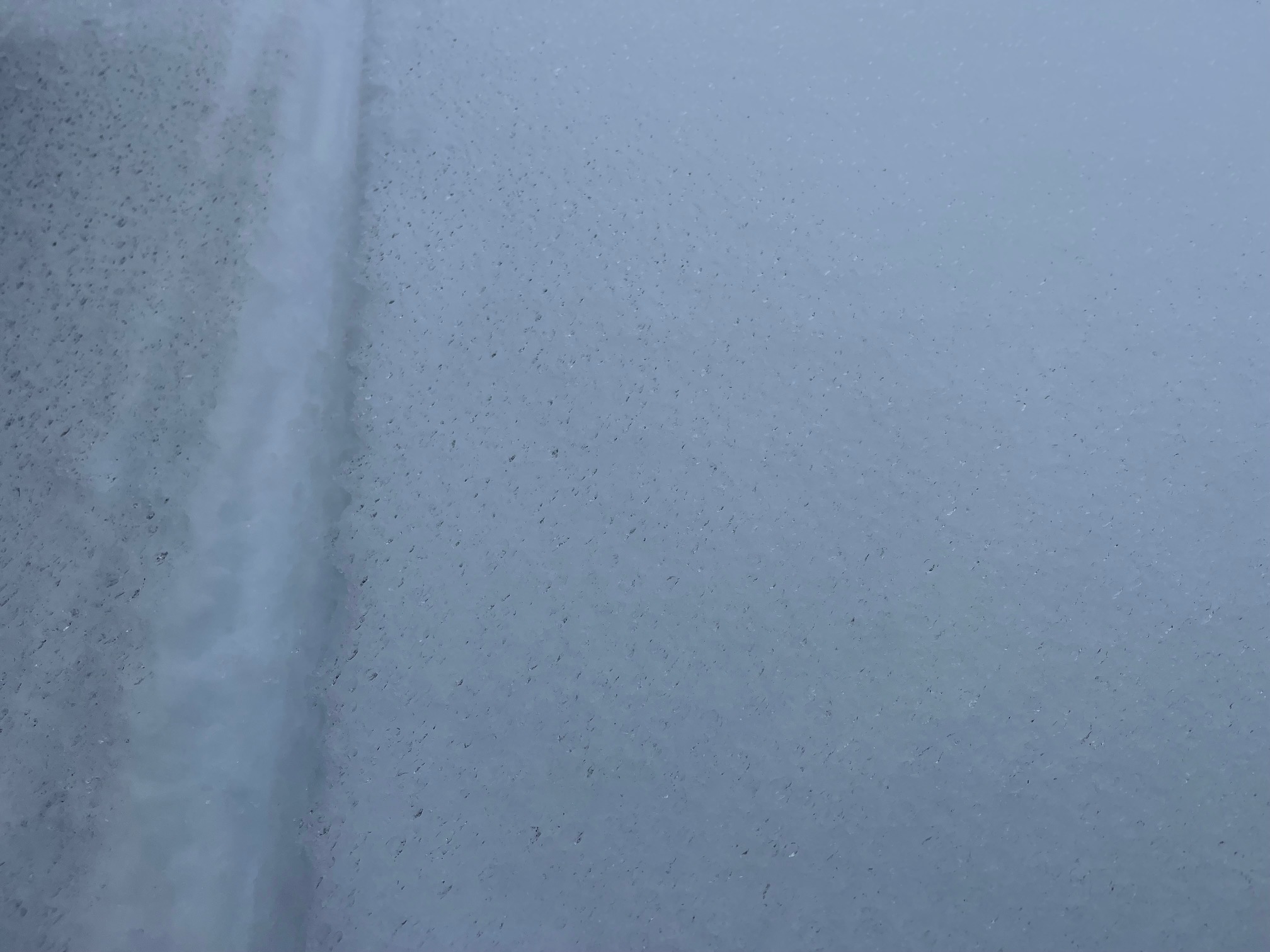
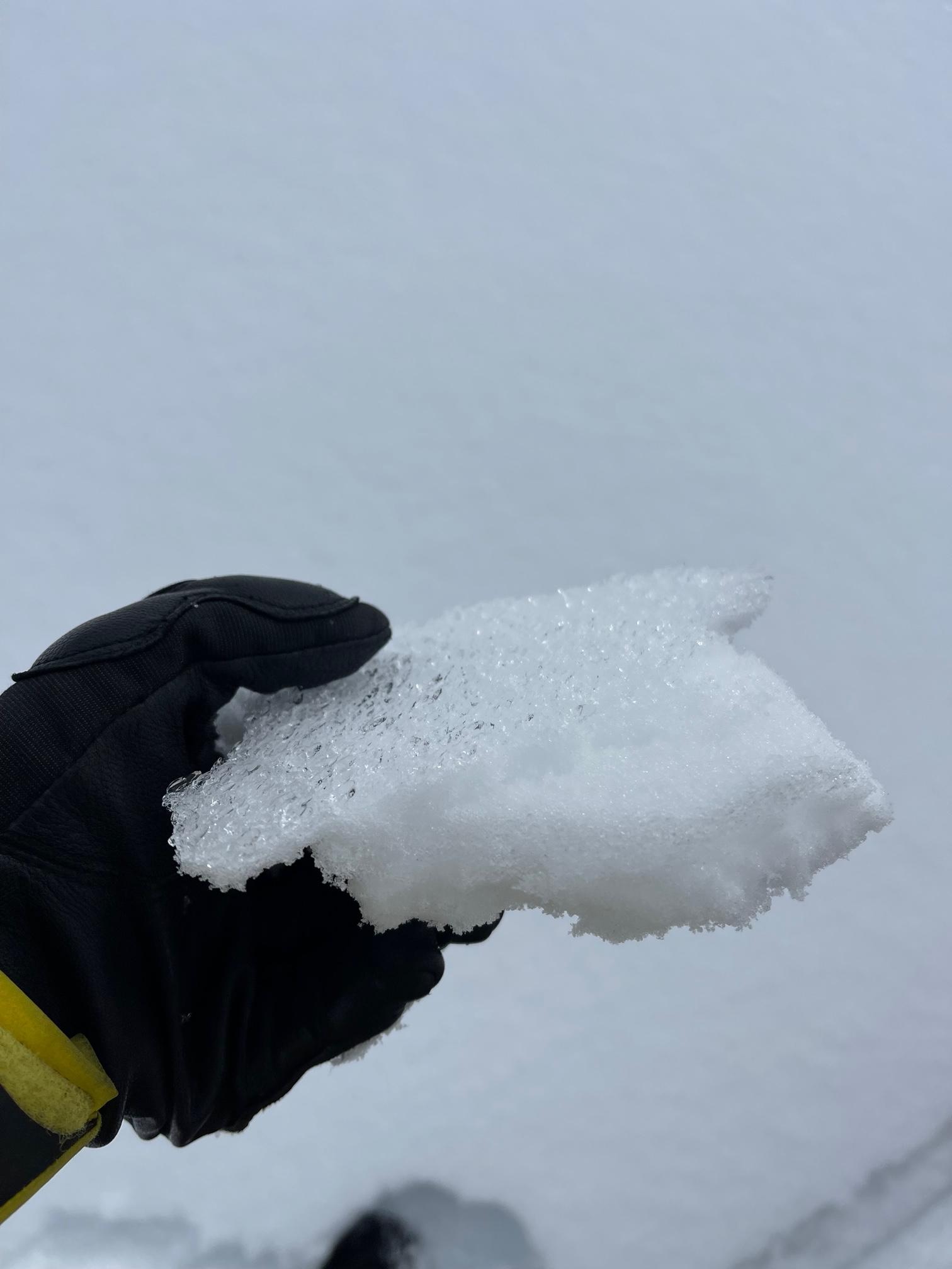
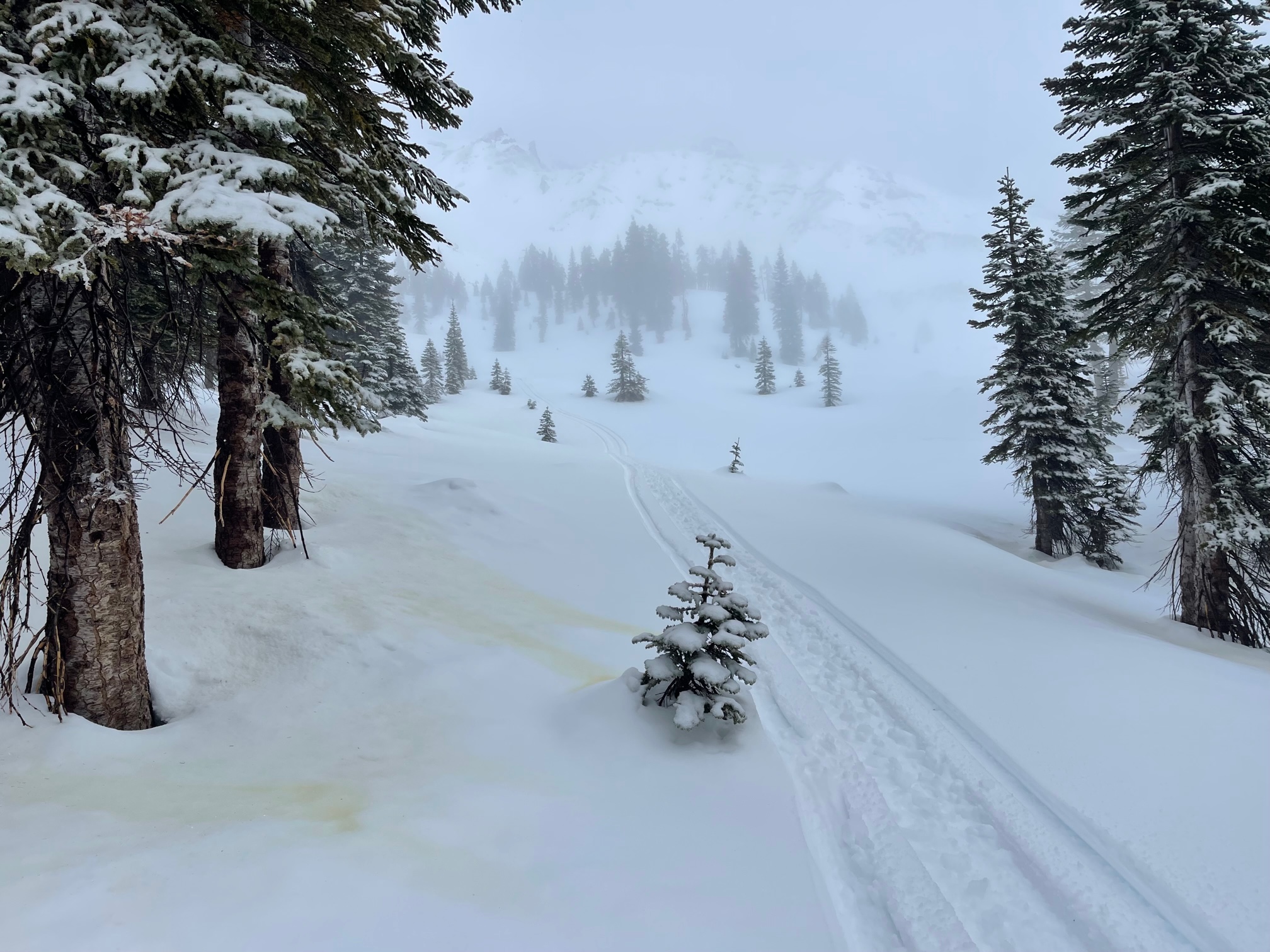
Near treeline, visibility was in and out. A widespread, thin, breakable rain glaze dominated snow surfaces (see pictures). Westerly wind was light with gusty pockets. No new snow could be measured.
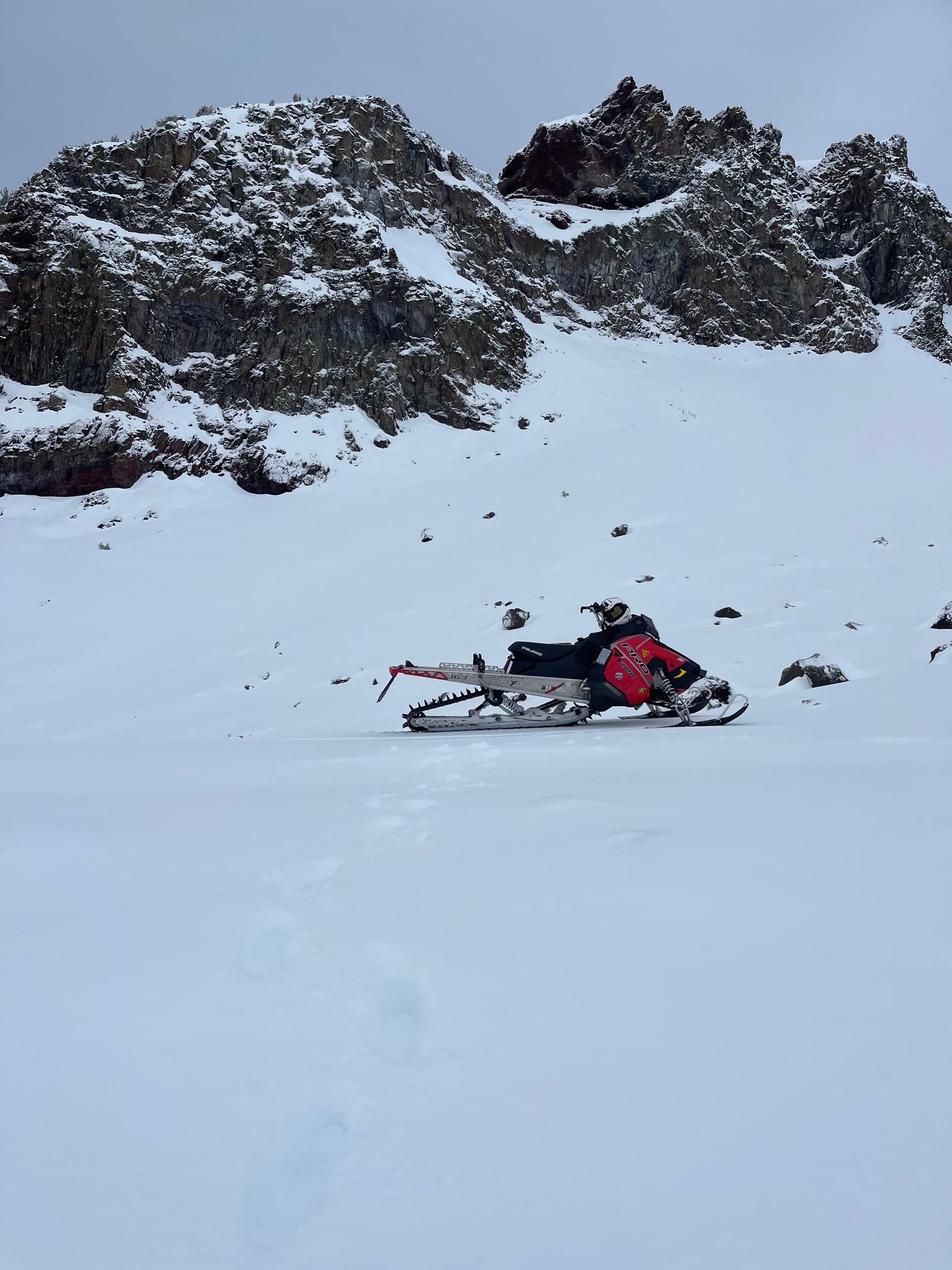
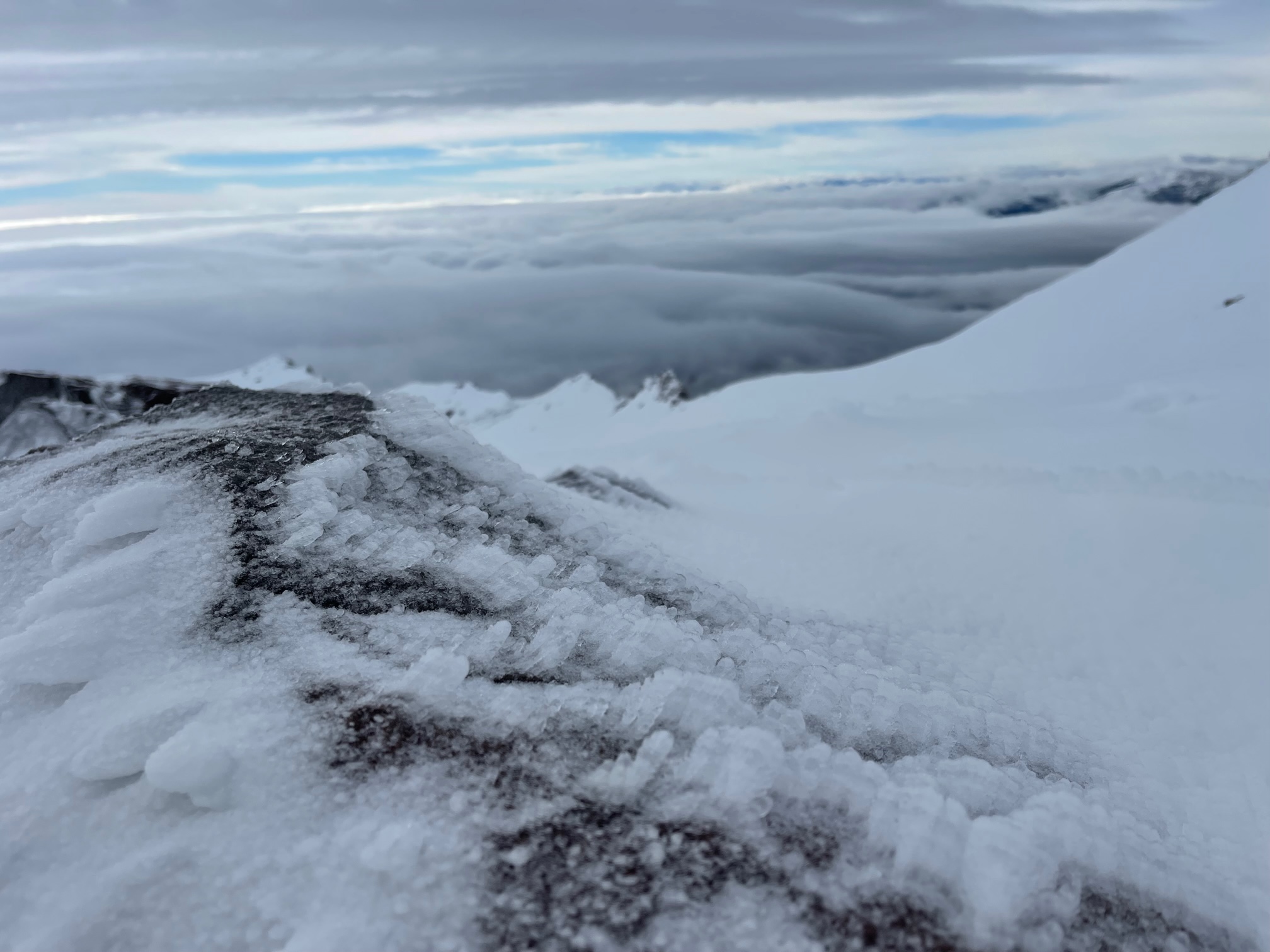
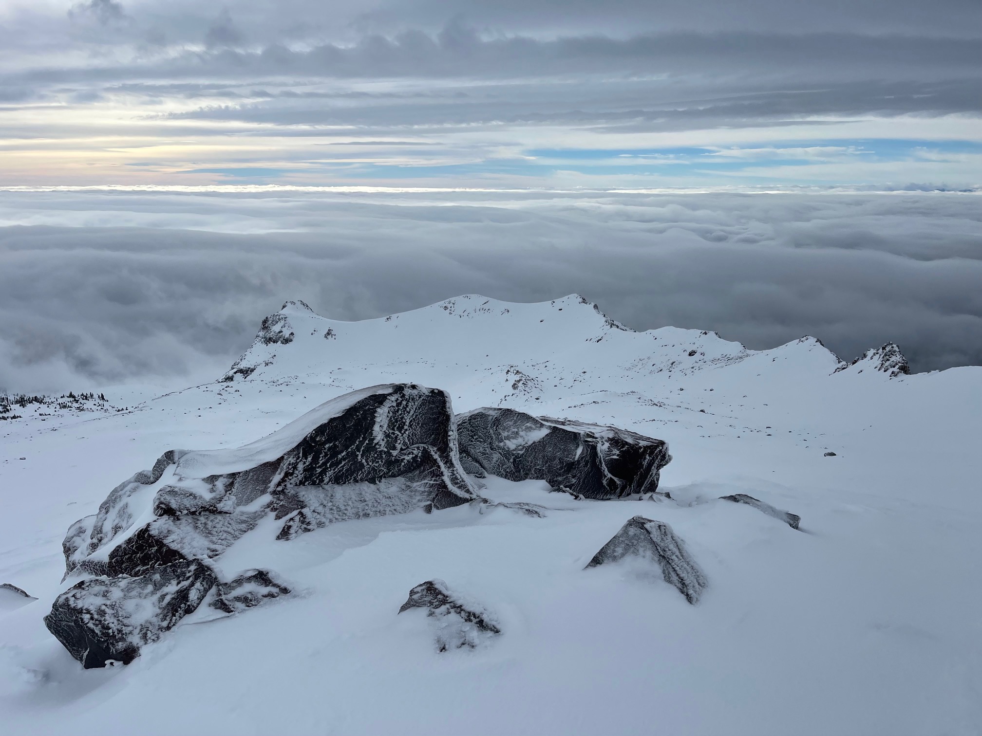
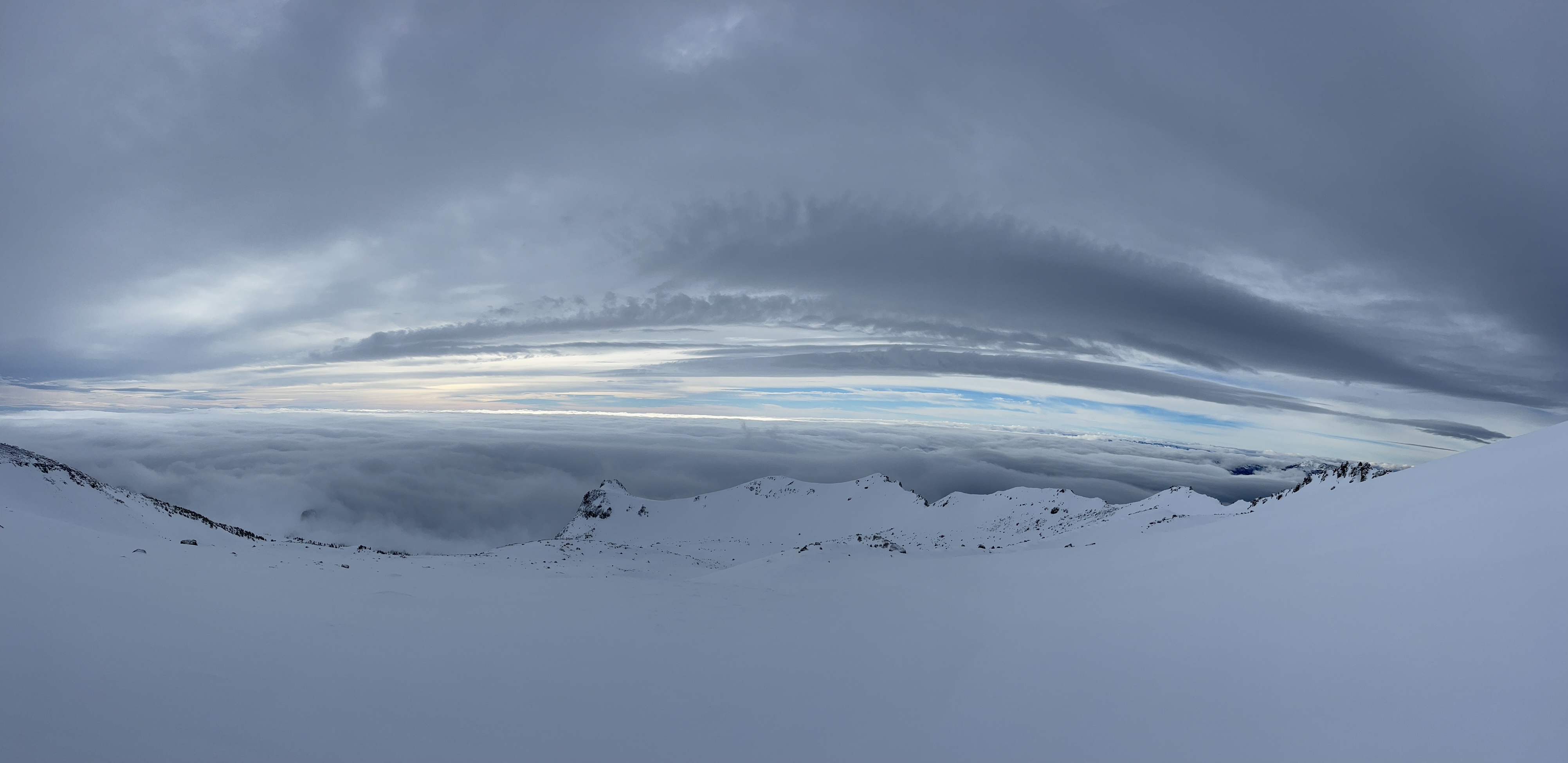
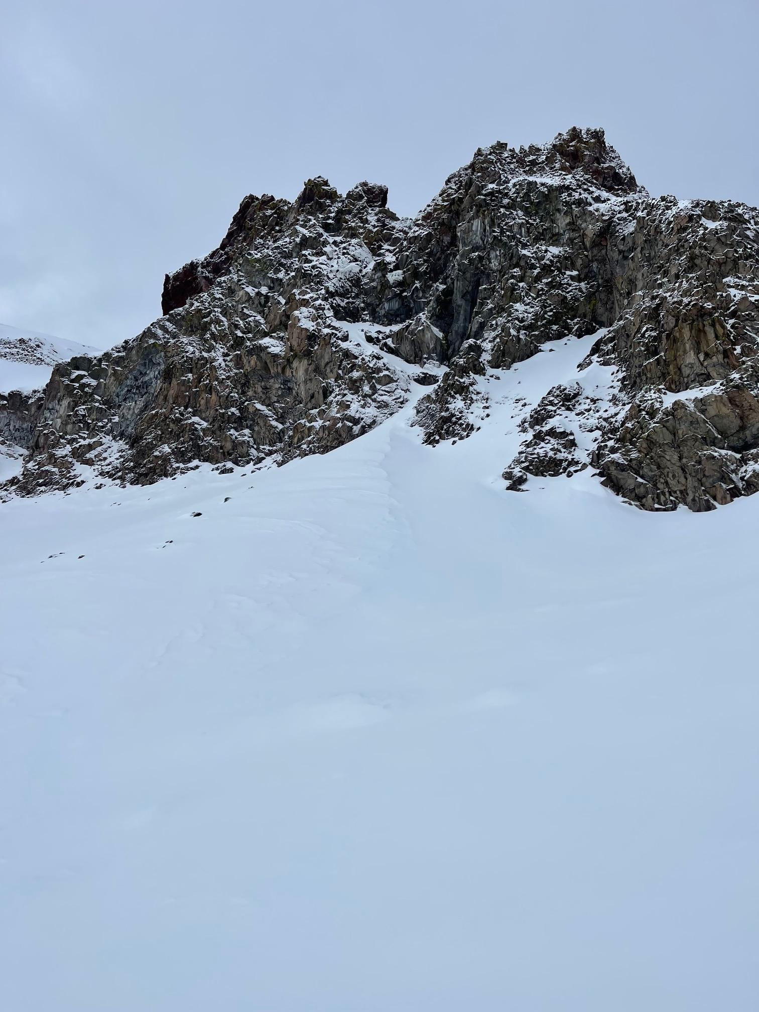
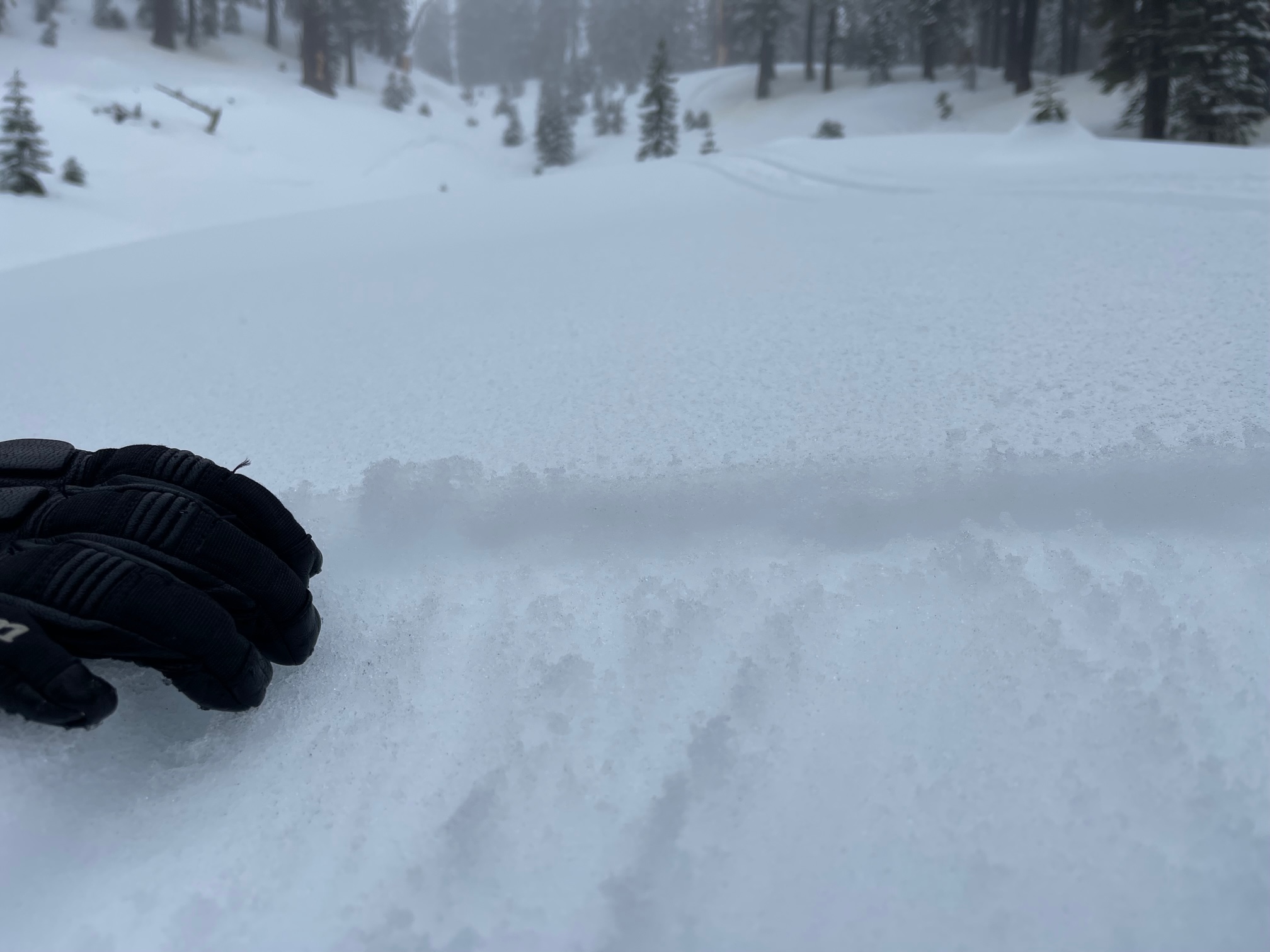
Above treeline, the icy rain glaze gradually transitioned to a rime crust, beginning ~9,000 feet. Westerly wind was stronger and more prevalent. Visibility was decent, but with flat light.
The recent, warm storm (12-22/12-23) has settled out the snow considerably and will lock up the snowpack tight. About .24" of water fell. Freezing levels were near 8,000 to 9,000 feet. An ice, transitioning to rime glaze, dominates the snowpack near and above treeline, respectively. This may break down with the even warmer temps forecasted for the weekend. No blowing snow was observed, even at upper mountain elevations. It's grade A, Shasta plaster up there. Be careful of firm, icy conditions if climbing on steep slopes.