

You are here
Rain crust Investigation - Mount Shasta
Location Name:
Avalanche Gulch Region:
Mt. ShastaDate and time of observation:
Wed, 12/28/2022 - 11:30amObservation made by:
PublicLocation Map
96067
Mount Shasta
, CA
United States
41° 22' 12.4644" N, 122° 14' 13.0272" W
See map: Google Maps
California US


My mission was to dig on north and south facing aspects near and below treeline. I was specifically looking to examine the Dec 23rd rain crust layer and identify any weak snow grains beginning to form above or below it. I was also scanning to see what surface conditions existed before the incoming new snow.
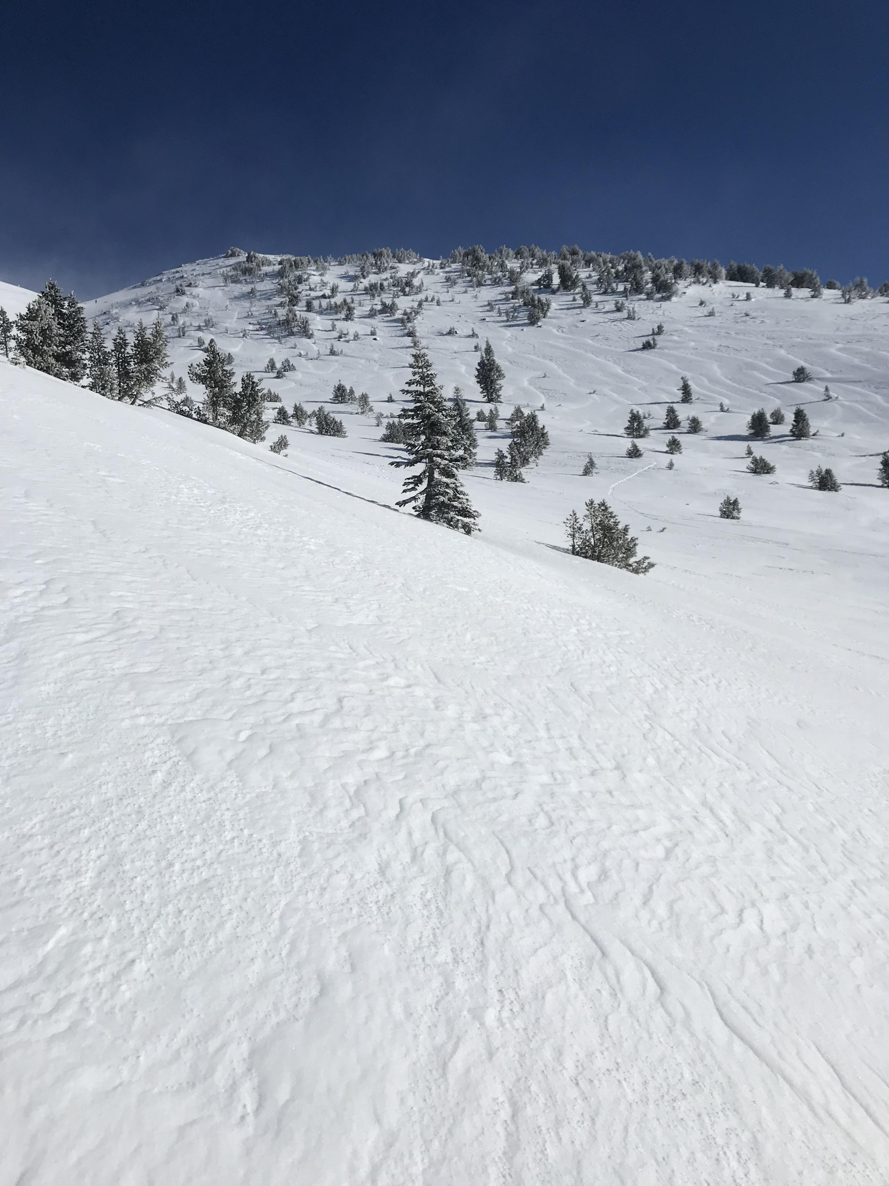
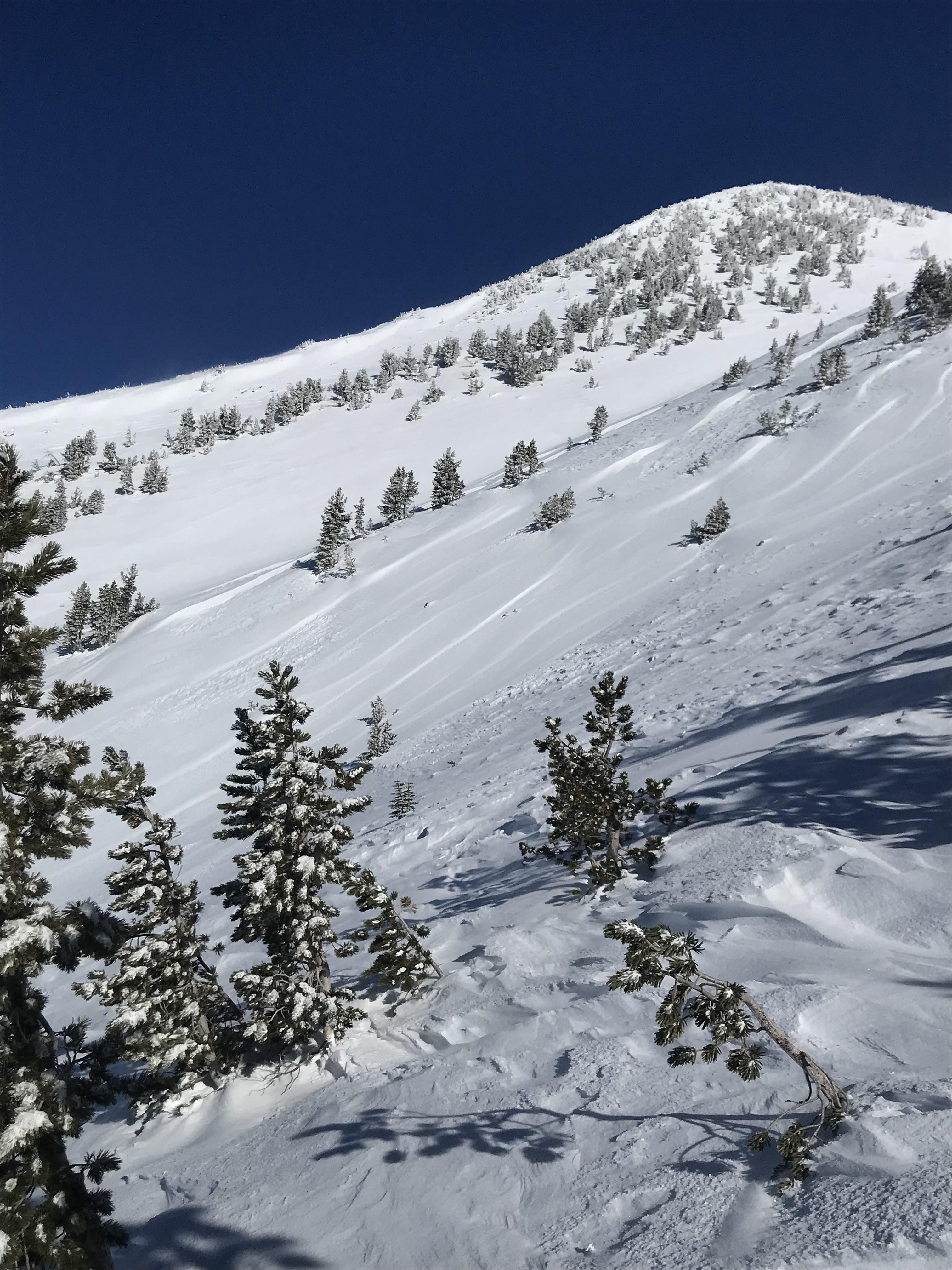
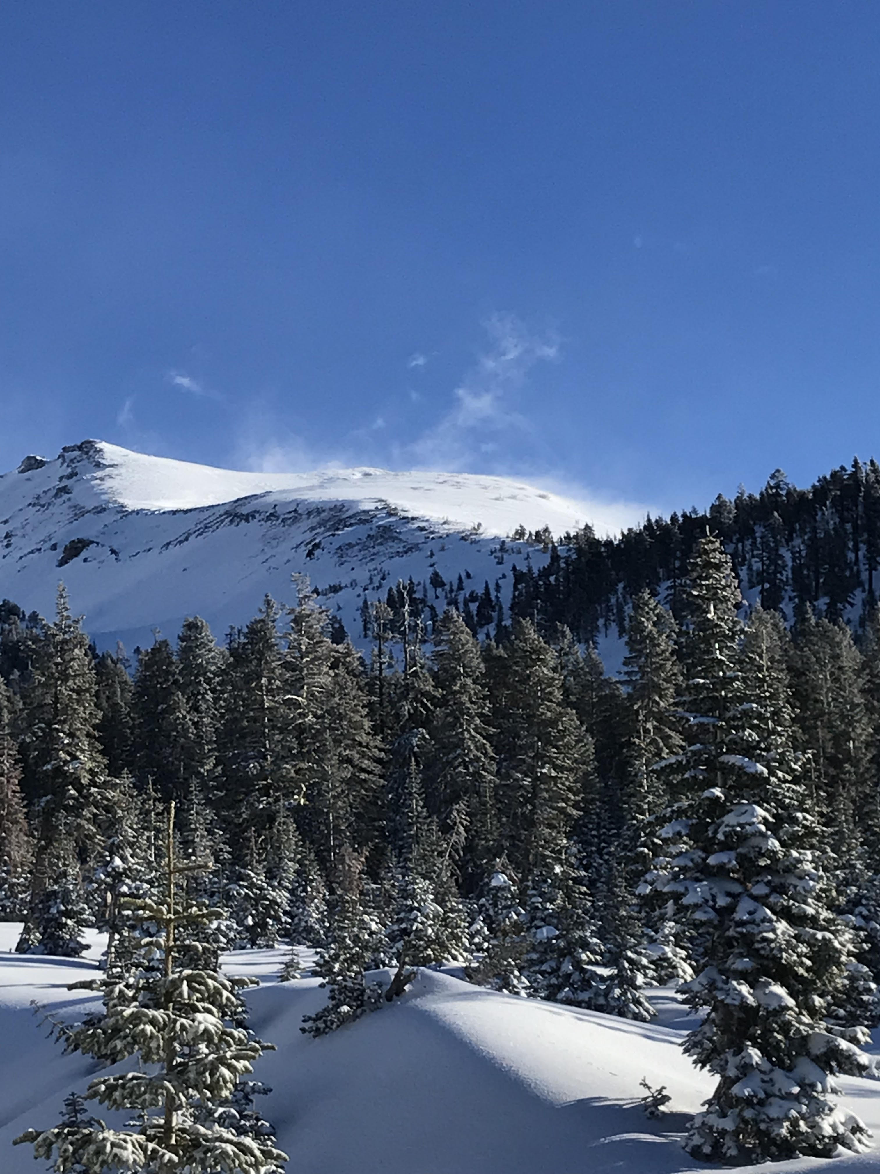
Below treeline, wind packed snow with a dusting of graupel dominated. The snow was supportable with a ski penetration of 1in (2.5cm). Winds were calm with moderate gusts. Near treeline, ridges, and exposed west-facing slopes displayed wind pillows and hard-scoured surfaces. Strong winds with visible snow transport to leeward SW-S-SE-E slopes were observed on the upper mountain.
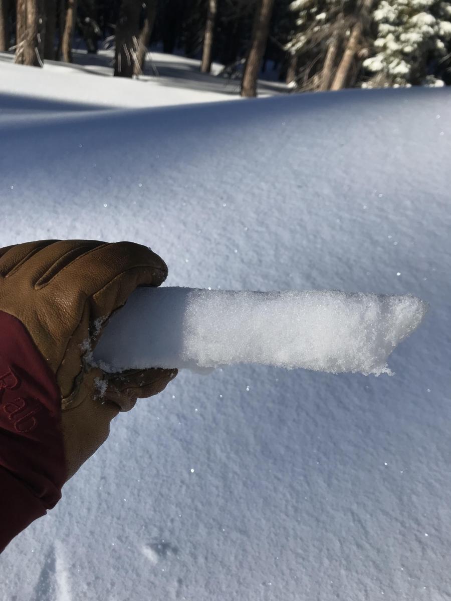
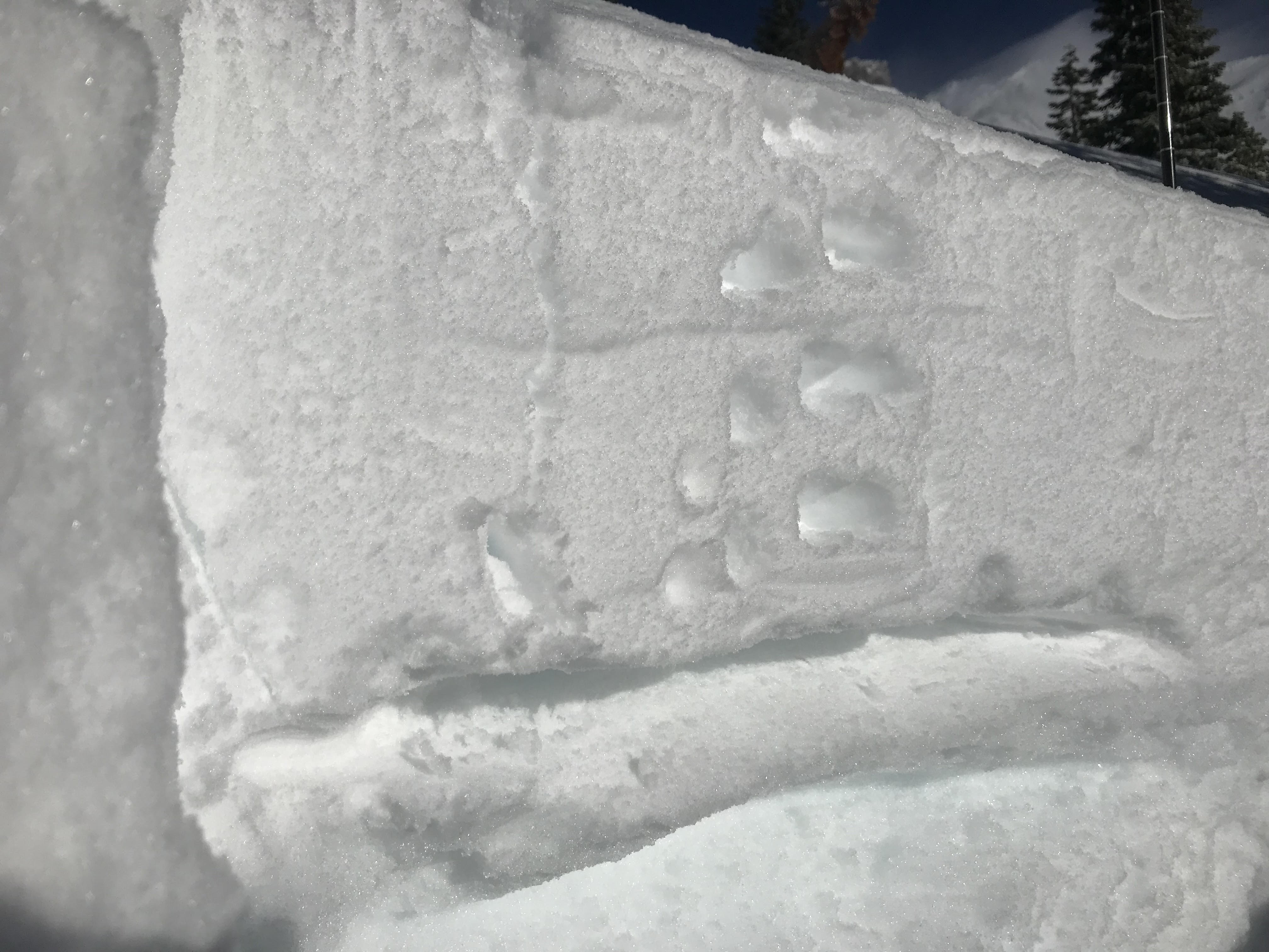
Neither the south nor the north aspect displayed signs of weak snow grains developing above or below the crust, with no unstable test results. The Dec 23rd rain crust was 40cm (17in) down and 1cm thick on the north aspects. On south aspects, the crust was 27cm down and 2.5cm thick. Protected northerly aspects where cold soft snow still exists hold the highest potential for penetrating this layer.