April 2/3, 2020 - West Side of I-5, Eddy Mountains - April Snow Survey
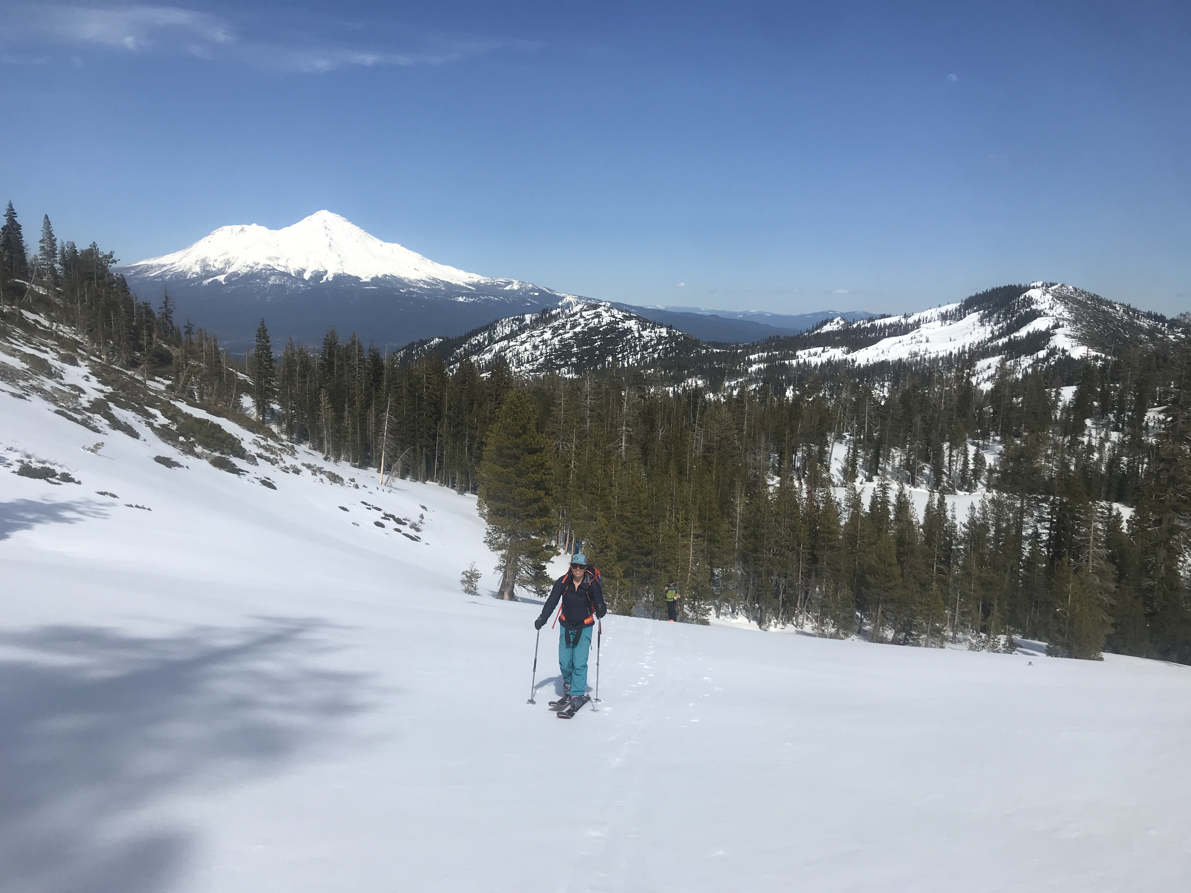
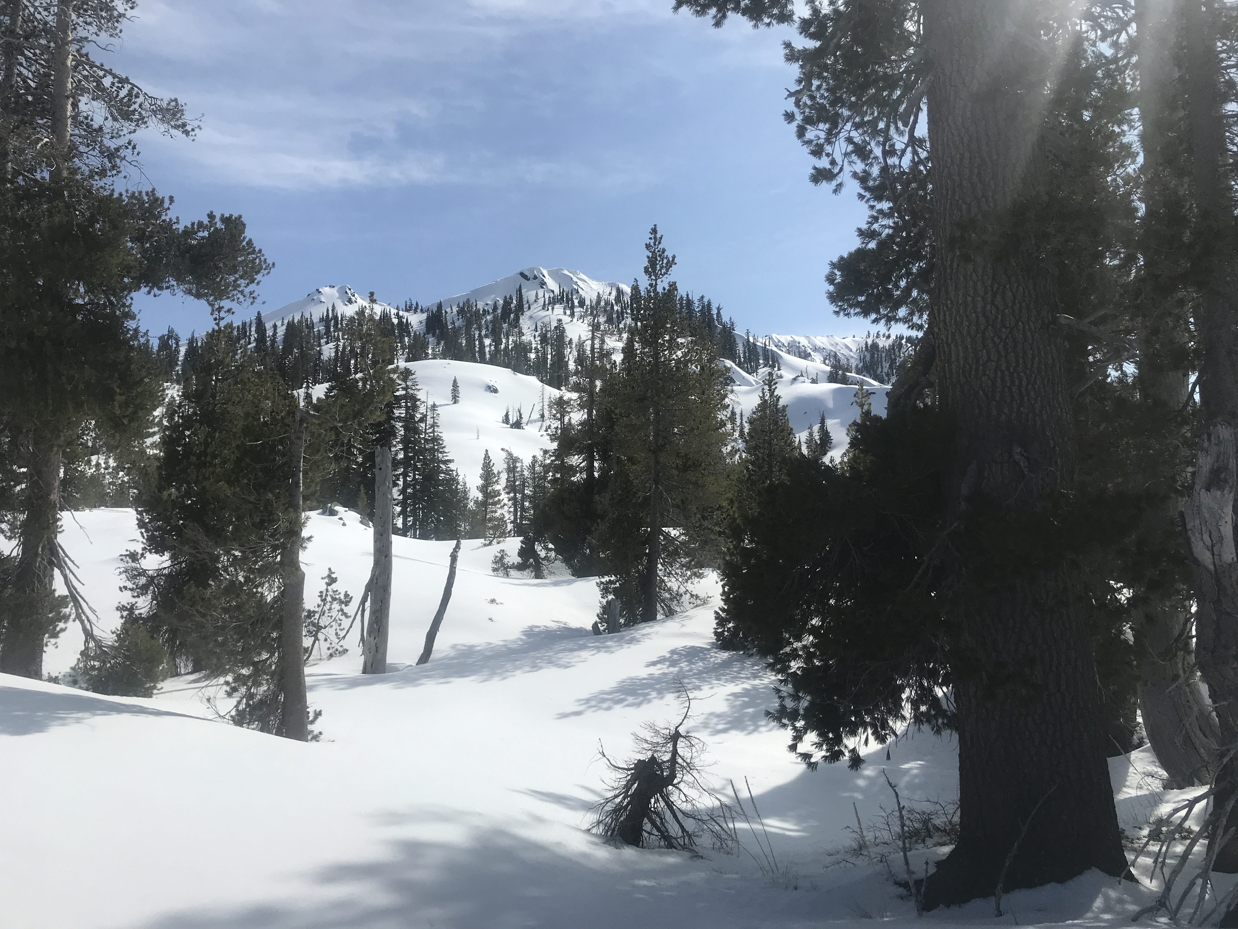
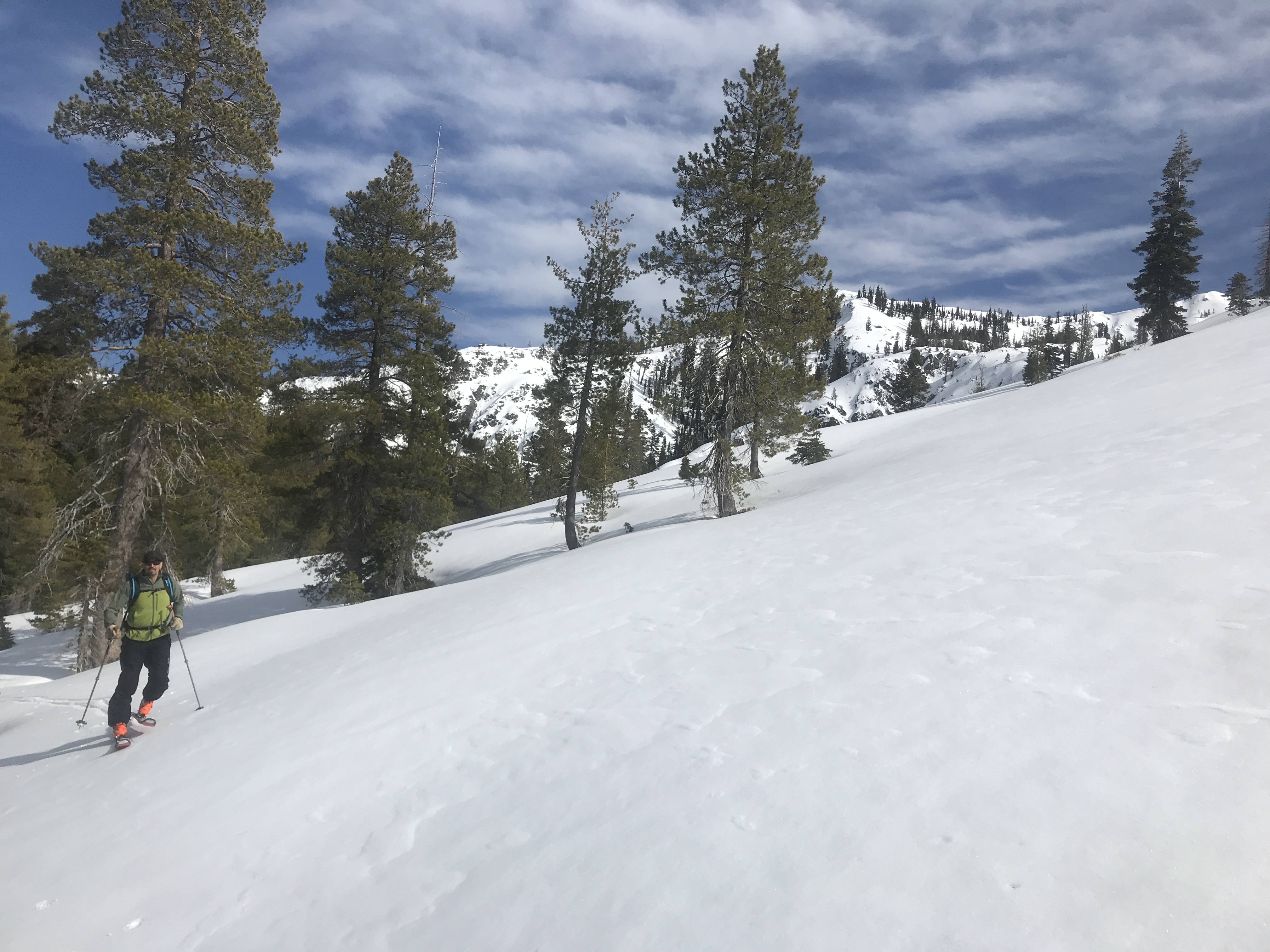
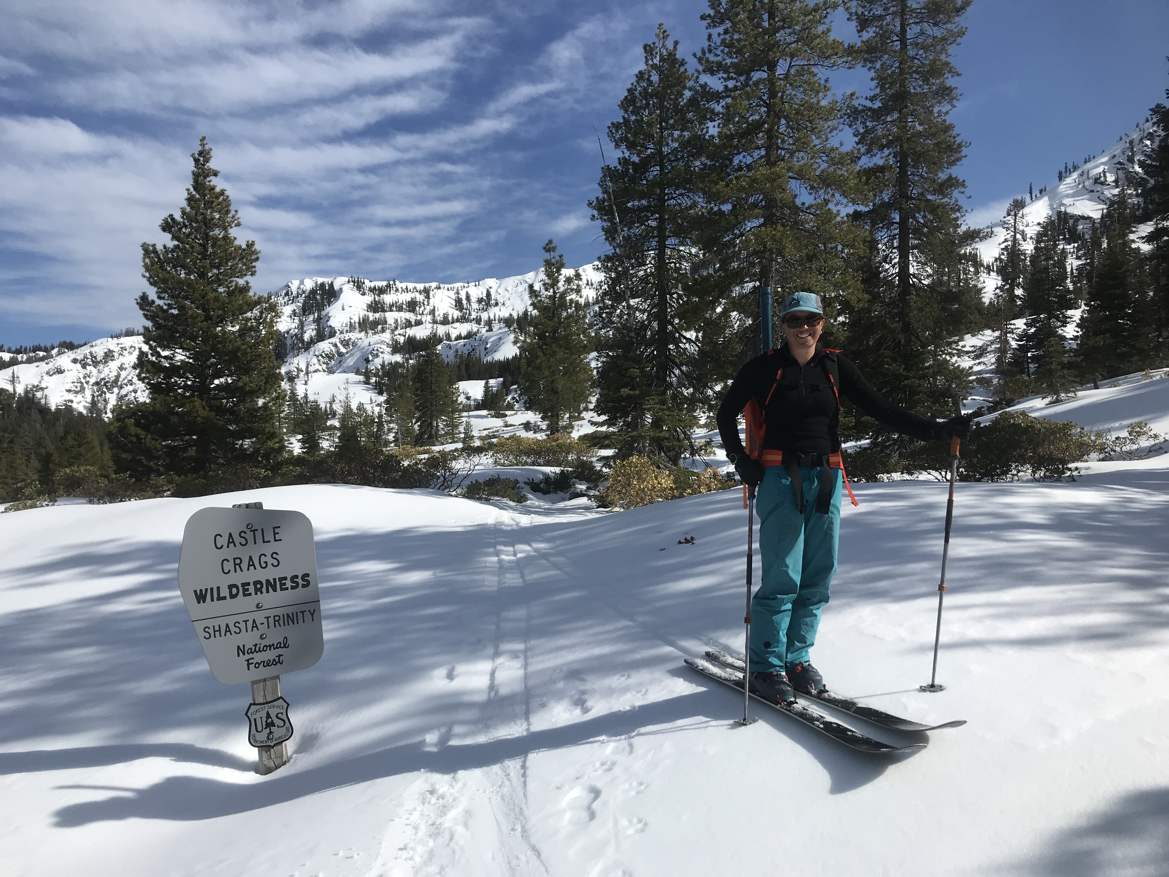
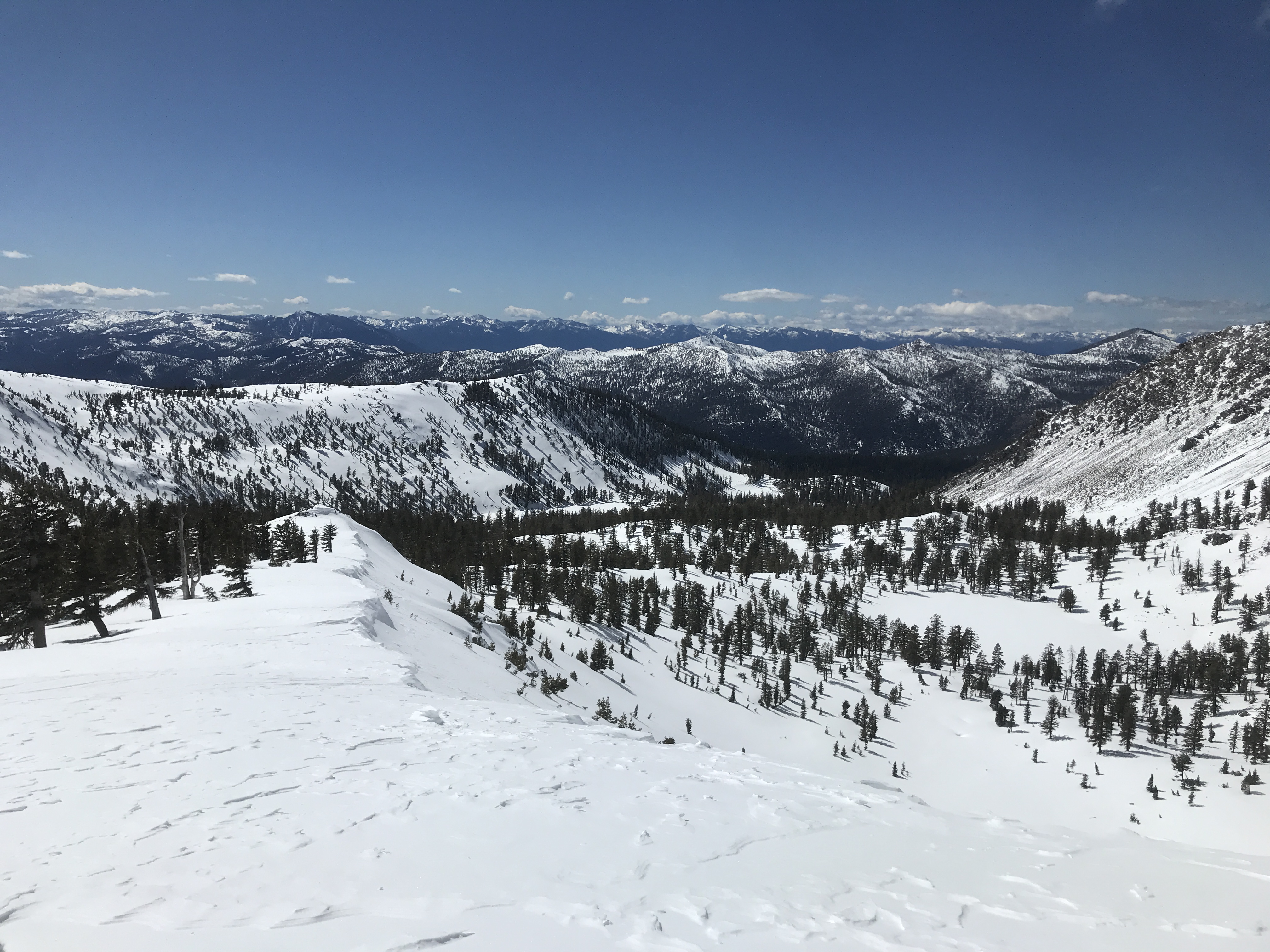
Trinity Drainage - Deadfall Lakes
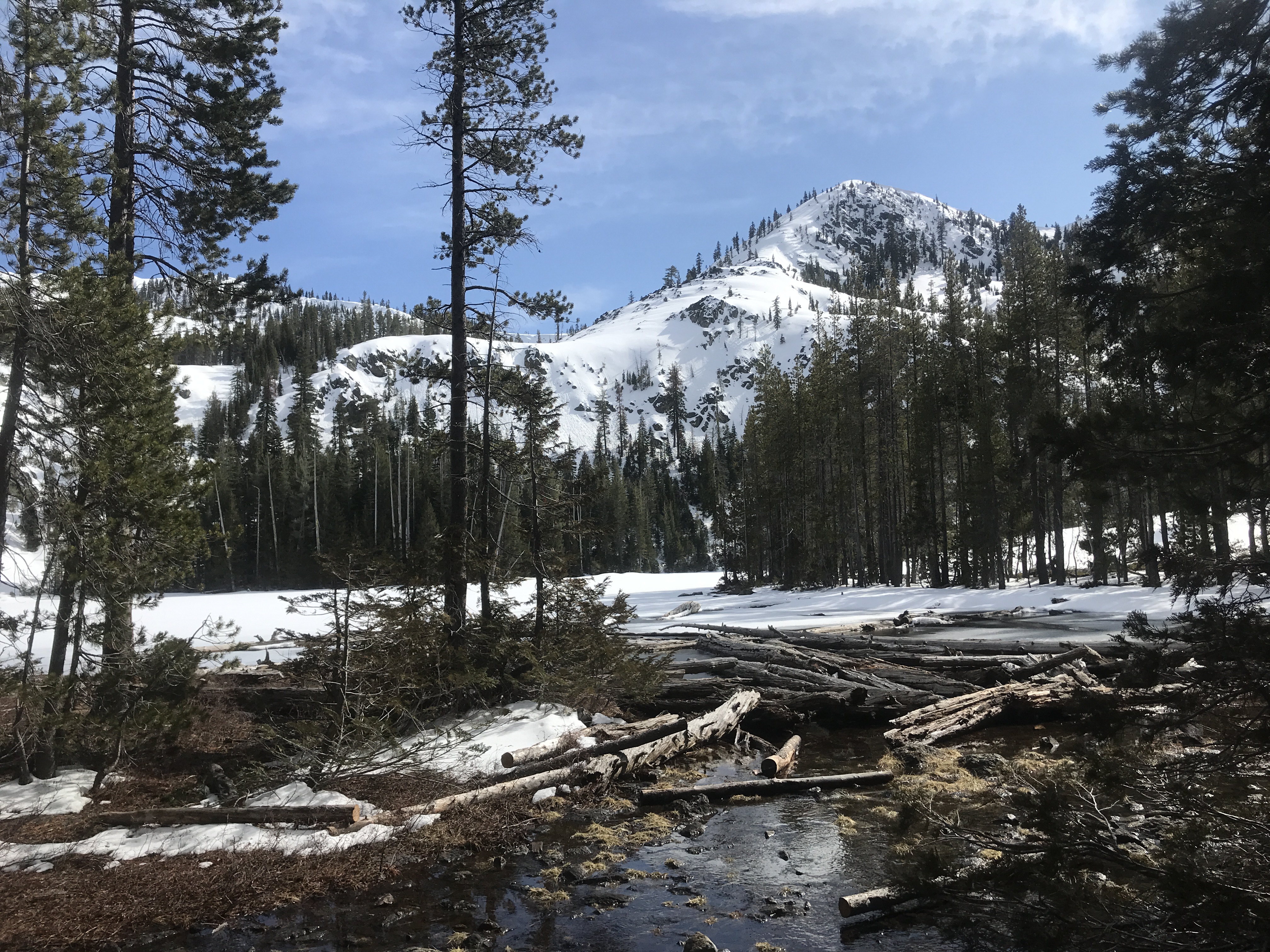
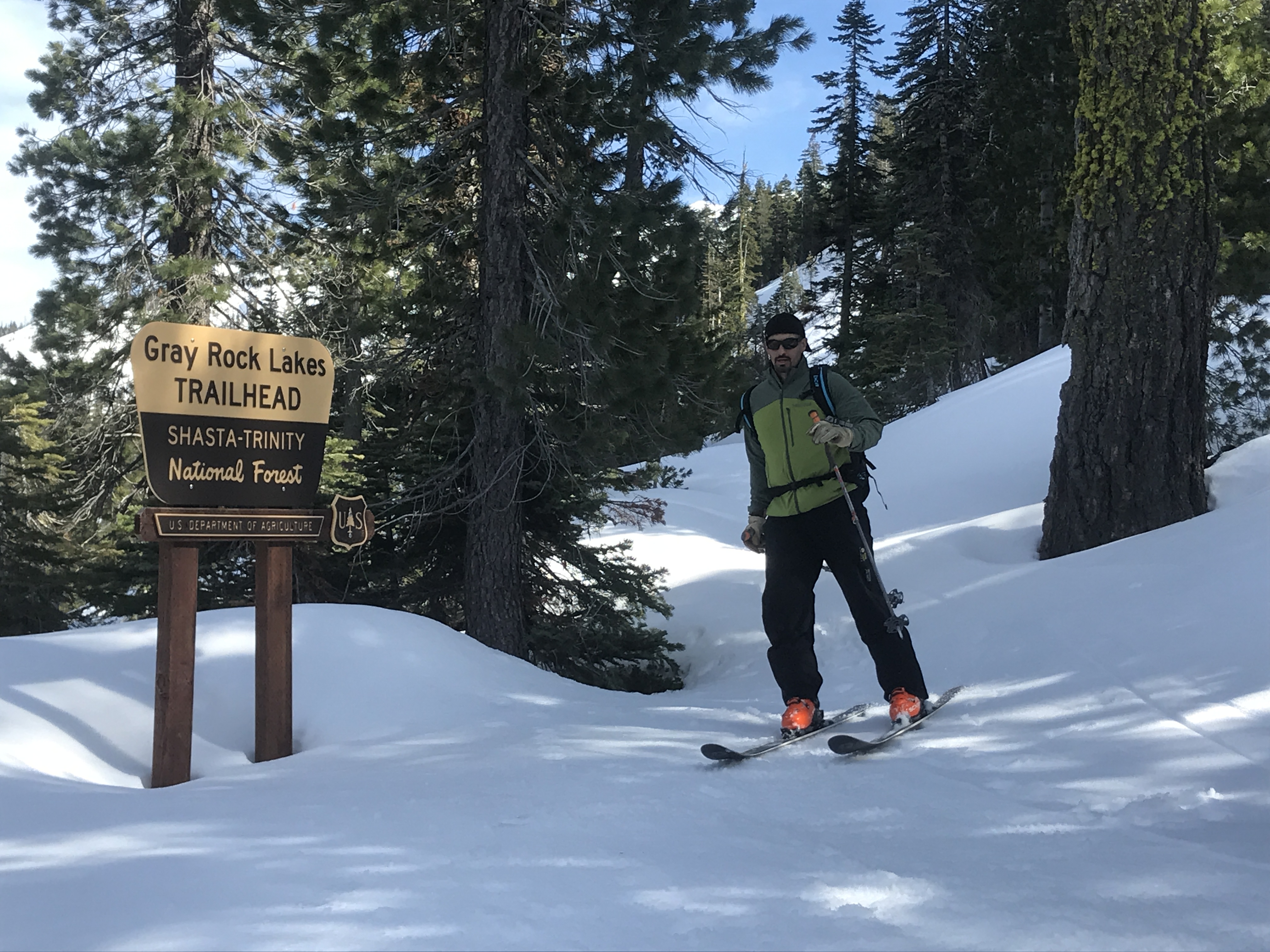
Sacramento Drainage - Grey Rocks & North Fork
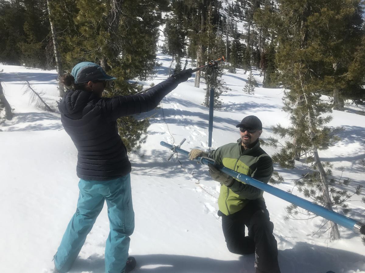
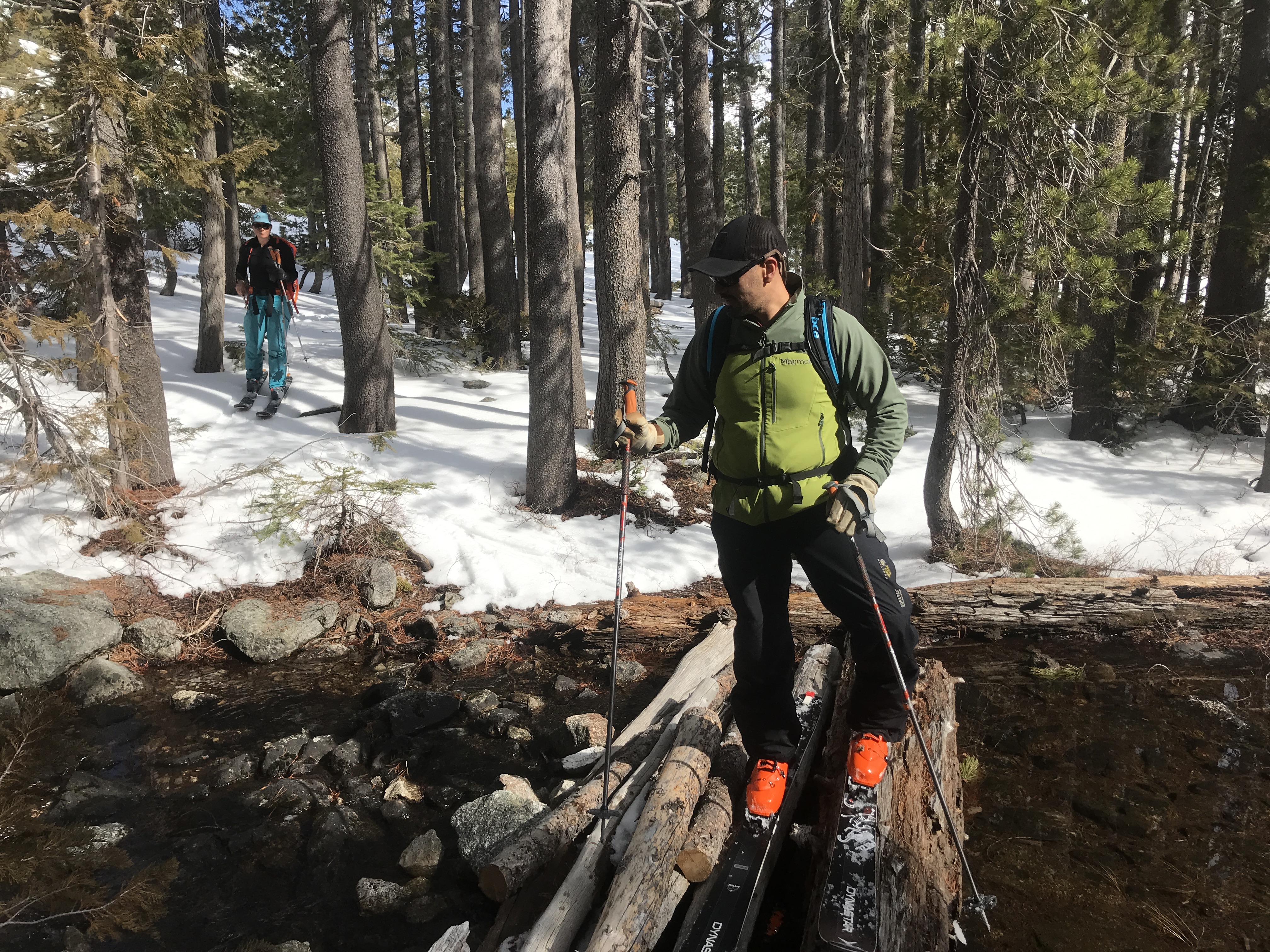
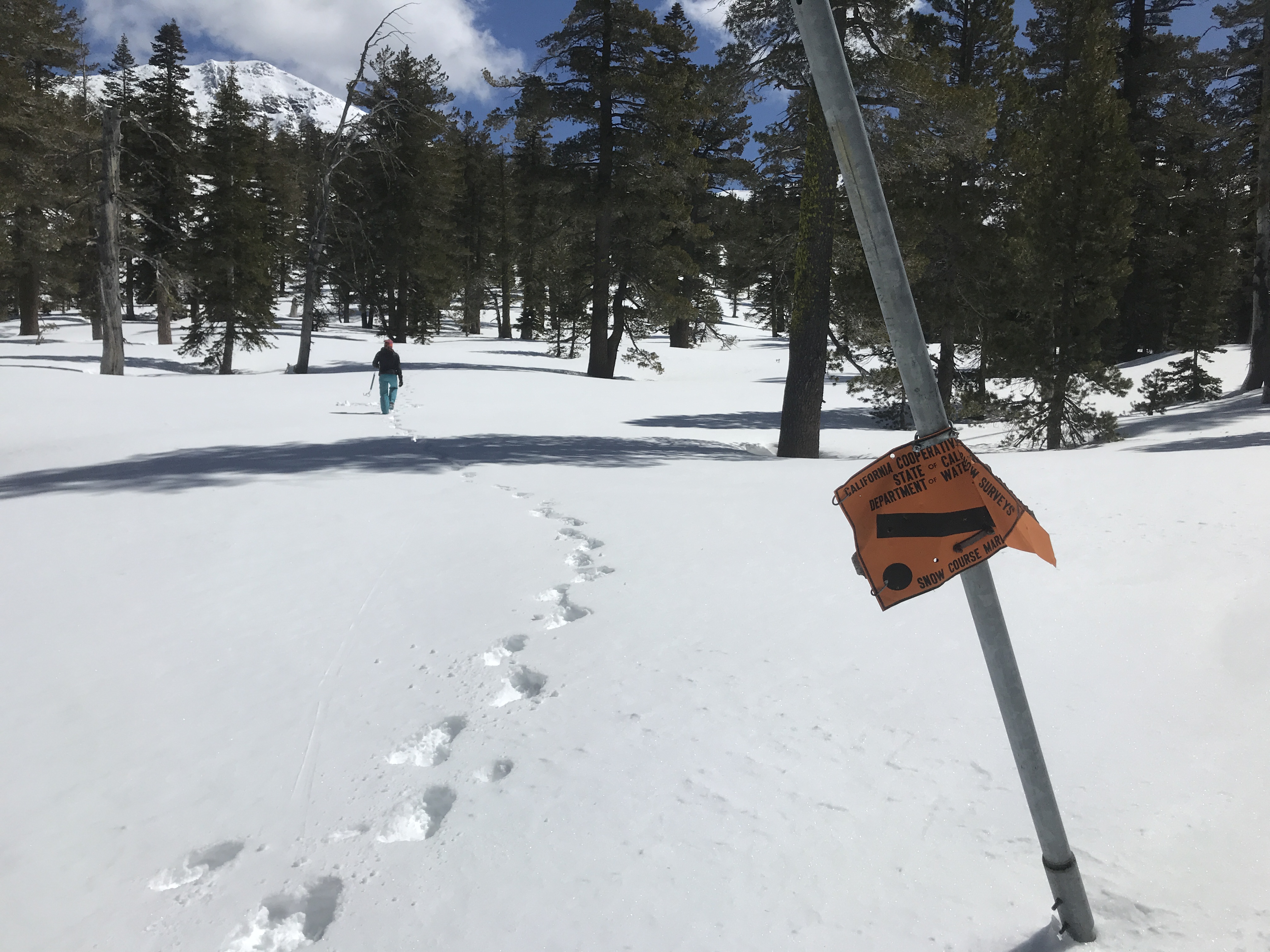
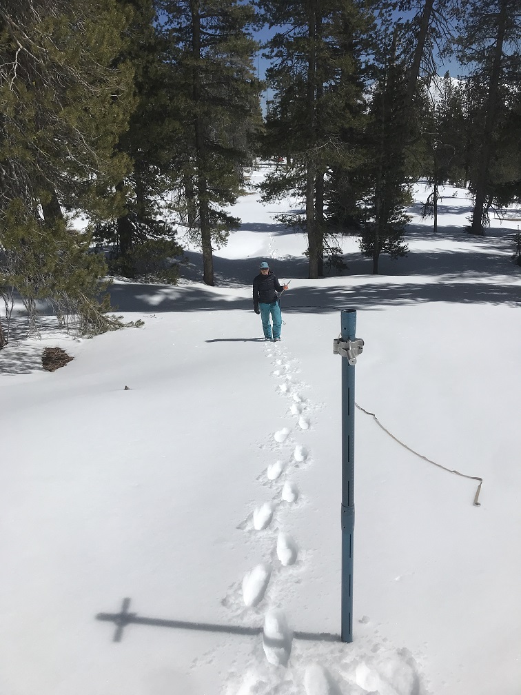
Each winter season, the US Forest Service conducts all snow survey actions on the district. Crews from USFS Fire and the Mount Shasta Avalanche Center assemble and travel to many locations in the area to collect important snow and water information. This data is provided to the California Department of Water Resources. Initial results from the courses listed above are as follows (a full report will be posted once all data is received):
What the heck is SWE? Snow water equivalent is a common snowpack measurement. It is the amount of water contained within the snowpack. It can be thought of as the depth of water that would theoretically result if you melted the entire snowpack instantaneously. Read more here
Overall, our snowpack is well below normal. For Mount Shasta City, we are 42% of normal for the wet season beginning Oct 1, 2019. Currently, lakes are still frozen but tree wells are exposed and small streams are running. Below ~6,500 feet, plenty of bare ground is showing. At treeline on Mount Shasta, we have 80 inches (2 meters) of snow, the most in the area.


April 2/3, 2020 - West Side of I-5, Eddy Mountains - April Snow Survey
Trinity Drainage - Deadfall Lakes
Sacramento Drainage - Grey Rocks & North Fork
Each winter season, the US Forest Service conducts all snow survey actions on the district. Crews from USFS Fire and the Mount Shasta Avalanche Center assemble and travel to many locations in the area to collect important snow and water information. This data is provided to the California Department of Water Resources. Initial results from the courses listed above are as follows (a full report will be posted once all data is received):
What the heck is SWE? Snow water equivalent is a common snowpack measurement. It is the amount of water contained within the snowpack. It can be thought of as the depth of water that would theoretically result if you melted the entire snowpack instantaneously. Read more here
Overall, our snowpack is well below normal. For Mount Shasta City, we are 42% of normal for the wet season beginning Oct 1, 2019. Currently, lakes are still frozen but tree wells are exposed and small streams are running. Below ~6,500 feet, plenty of bare ground is showing. At treeline on Mount Shasta, we have 80 inches (2 meters) of snow, the most in the area.