

You are here
South Side Mount Shasta
Location Name:
Mount ShastaRegion:
Mt. ShastaDate and time of observation:
Sat, 03/28/2020 - 3:30pmObservation made by:
ForecasterRed Flags:
Recent loading by new snow, wind, or rain
Location Map
96067
Mount Shasta
, CA
United States
41° 20' 47.5764" N, 122° 11' 30.8004" W
See map: Google Maps
California US
Snowpack Observations
Details
Photos
Weather Observations
Statistics
Cloud Cover:
100% of the sky covered by cloudsBlowing Snow:
NoPrecipitation:
SnowAccumulation rate:
Less than 1 in. per hourAir temperature:
Below FreezingAir temperature trend:
StaticWind Speed:
Calm

SKY: Obscured
PRECIP: S1 - sporadic light snowfall
WIND: Calm
BLOWING SNOW: None
AIR TEMP: 23 F
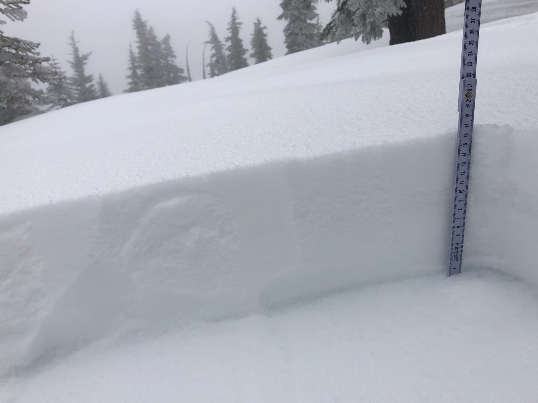
SURF PEN: 5-12 inches (15-30 cm)
Height of new snow:
NOTES:
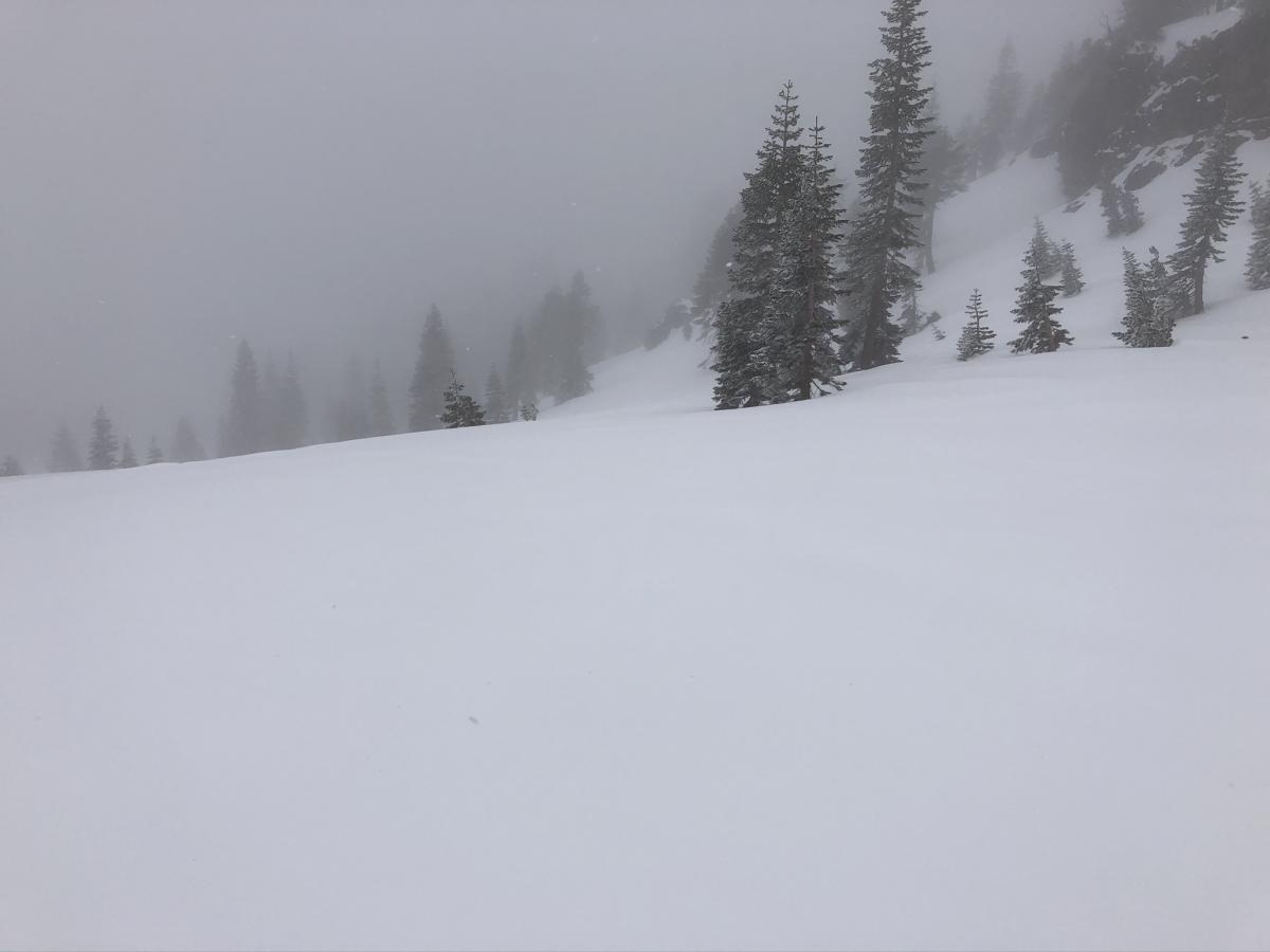
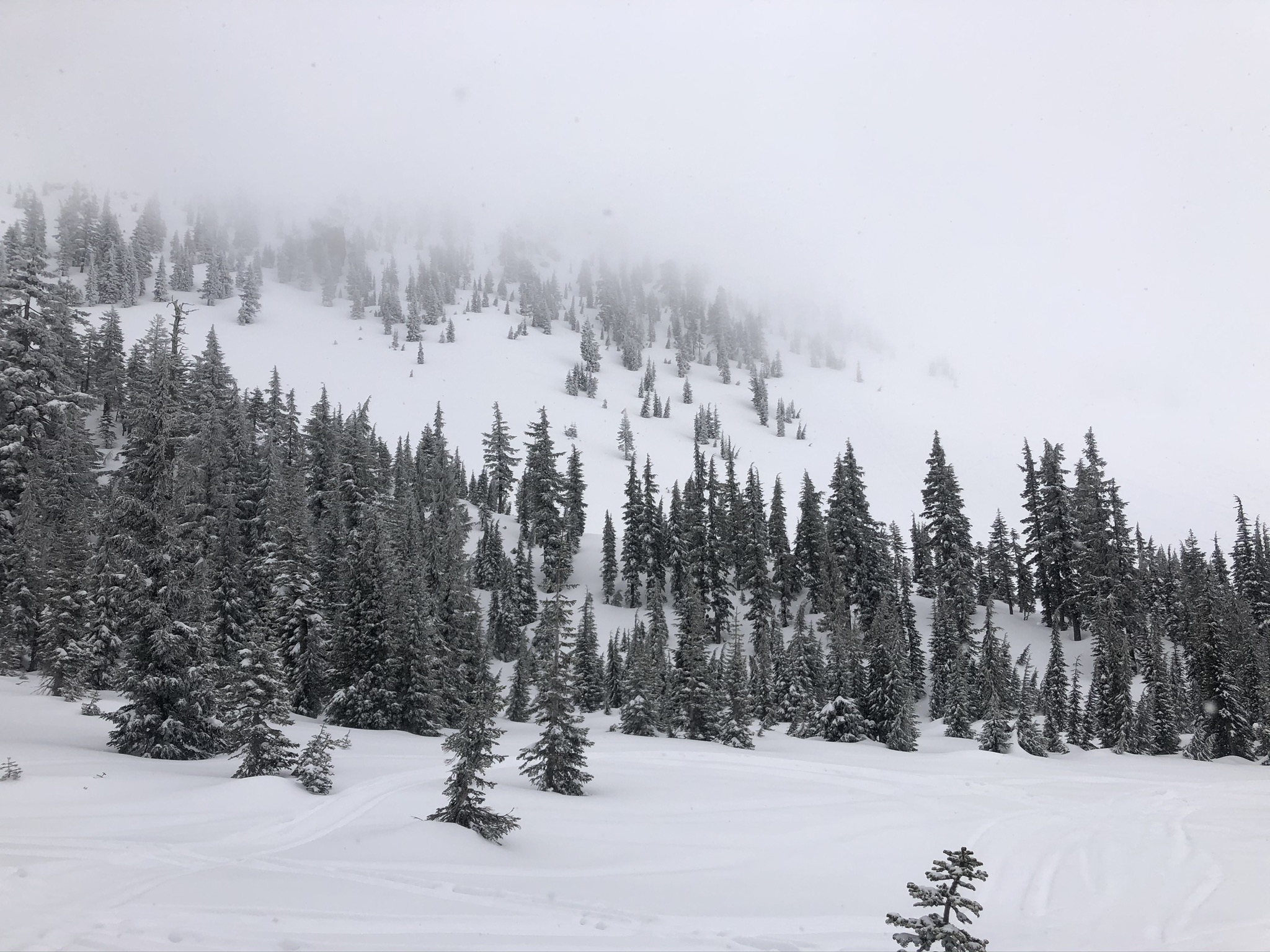
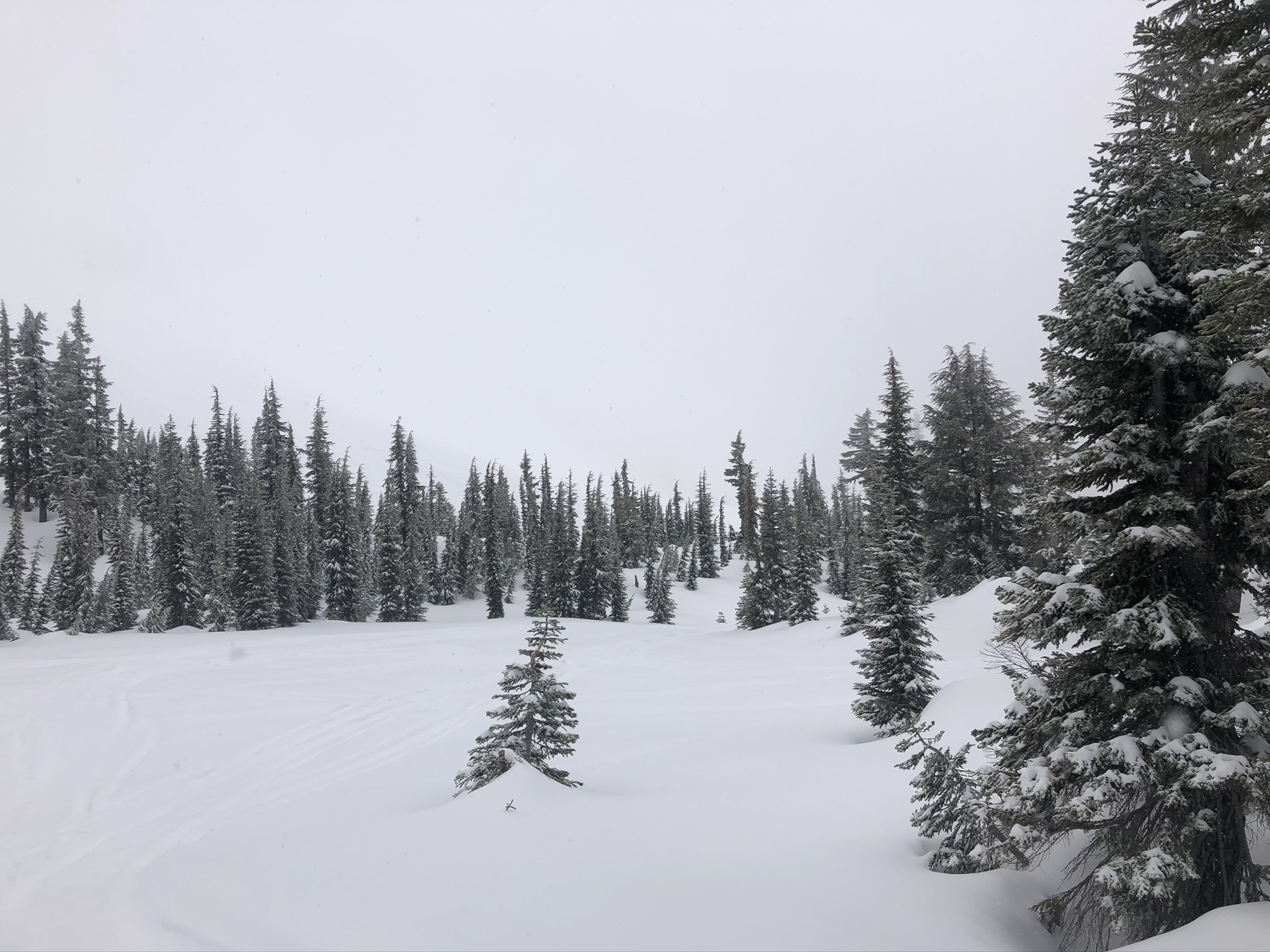
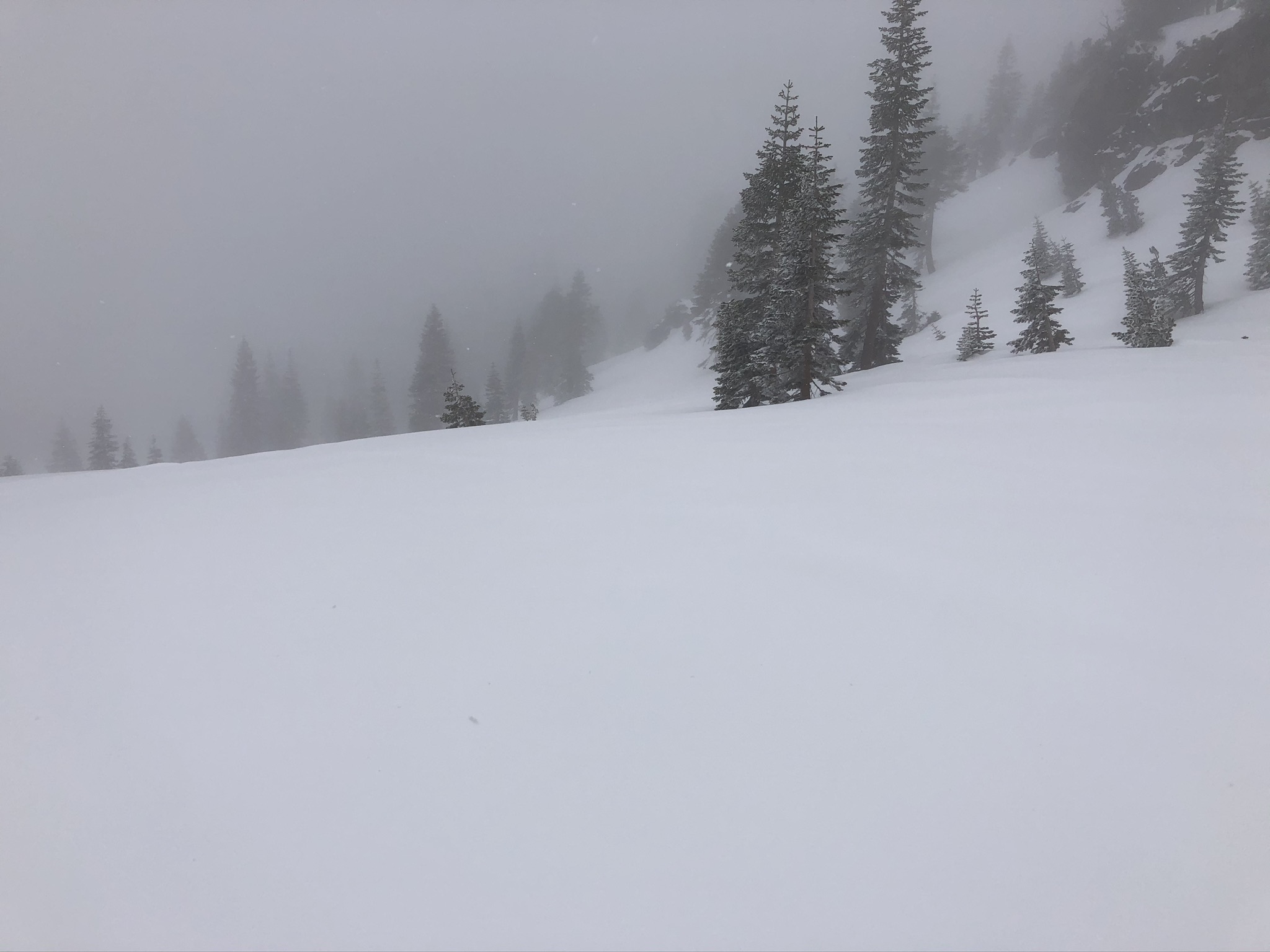
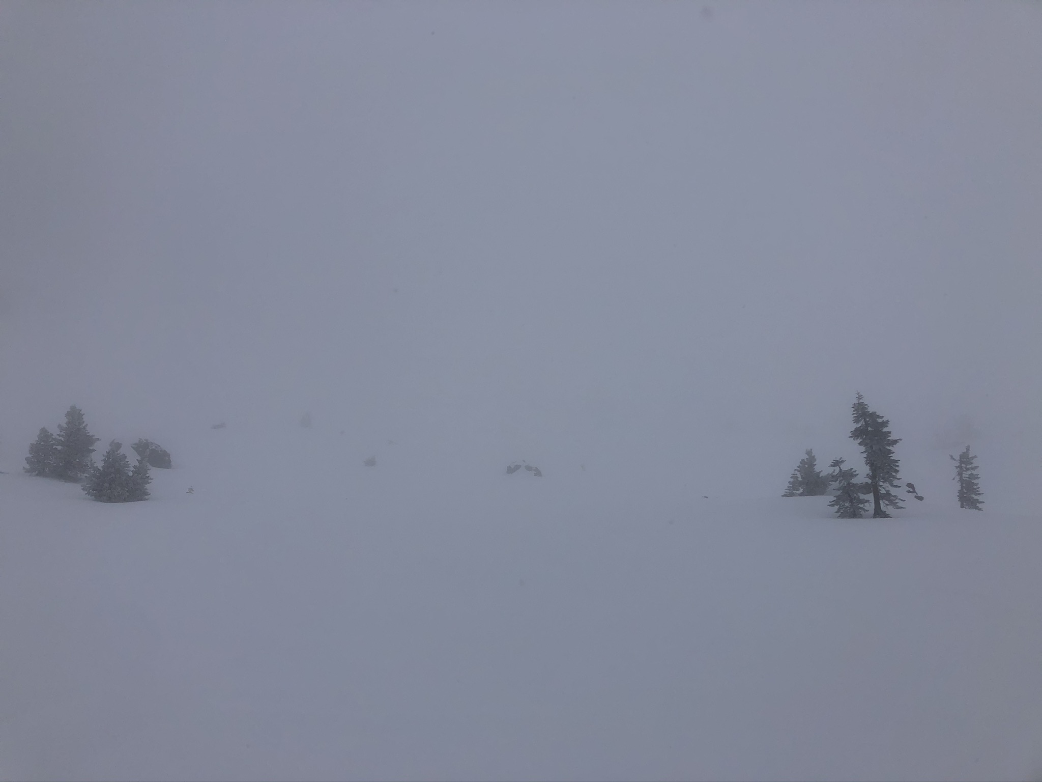
There were low clouds, fog, flat light, and generally very low visibility on the south side of Mount Shasta today. The snow was falling from the sky throughout (1100-1500 hours); however, it was sporadic: light one minute, very light the next, then moderate the next. The new snow sits atop a melt-freeze crust below and near treeline. This crust is variable in thickness but was very thin in most places observed. It was absent on west-facing terrain above treeline. Approximately 6 inches of 4F to F hard snow remains below that, all above firm and consolidated snow. Winds were calm, and there was no sign of wind effects on the snow surfaces. No natural or human triggered avalanches were observed.