

You are here
Southside Overview

Location Name:
Avalanche Gulch/Green Butte/Sargents RidgeRegion:
Mt. ShastaDate and time of observation:
Thu, 12/26/2019 - 1:30pmObservation made by:
ForecasterRed Flags:
Location Map
96067
Mount Shasta
, CA
United States
41° 22' 54.138" N, 122° 12' 30.9996" W
See map: Google Maps
California US
Snowpack Observations
Details
- Clear, chilly and windless conditions were experienced yesterday.
- Light, easterly winds have shifted to the northwest at 2300 hours last night, blowing 20-30 mi/hr, gusting to 40-50 mi/hr into this morning.
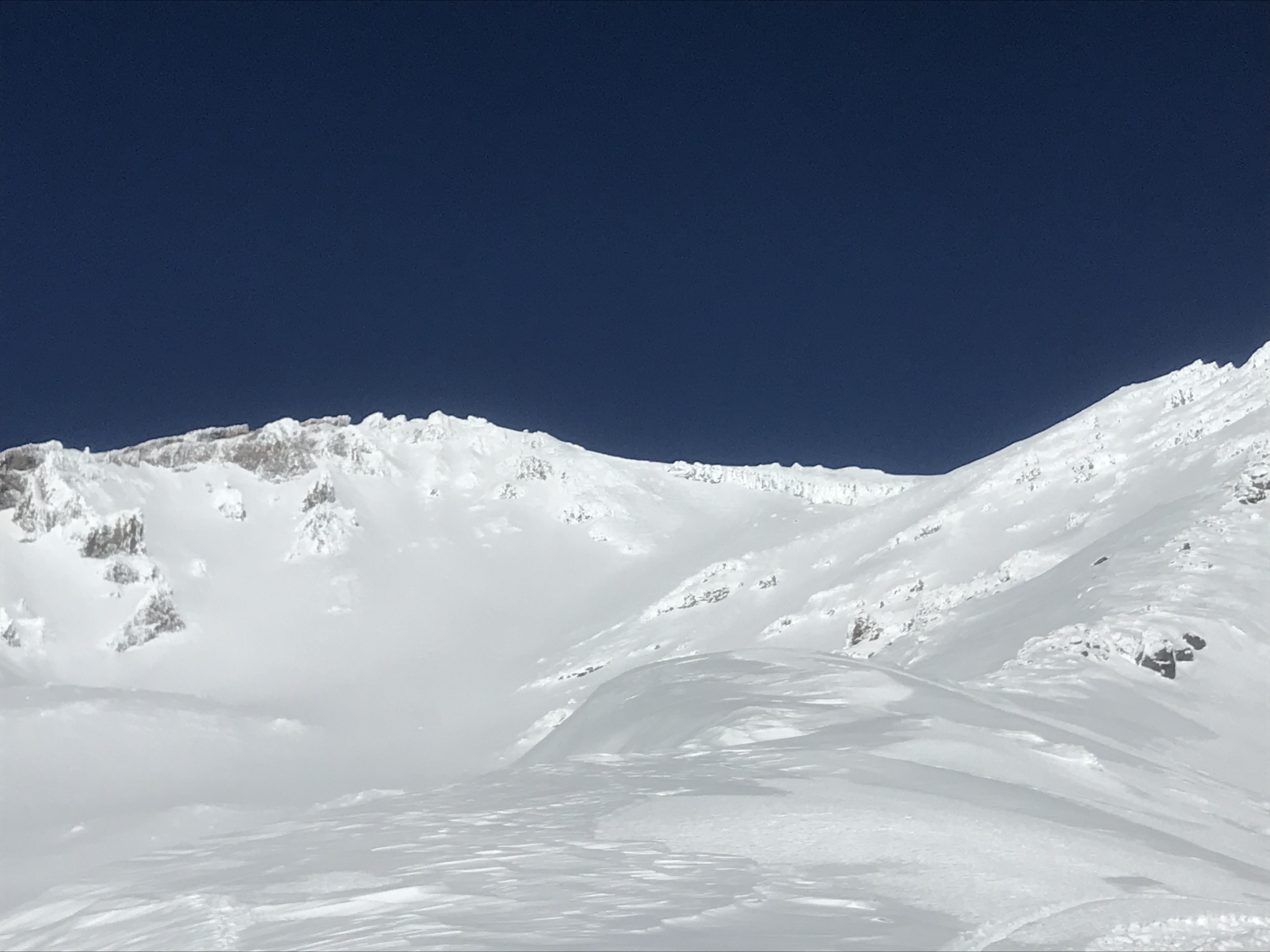
- Six to twelve inches of poorly bonded, low density snow exists on top of the 12/19 ice crust.
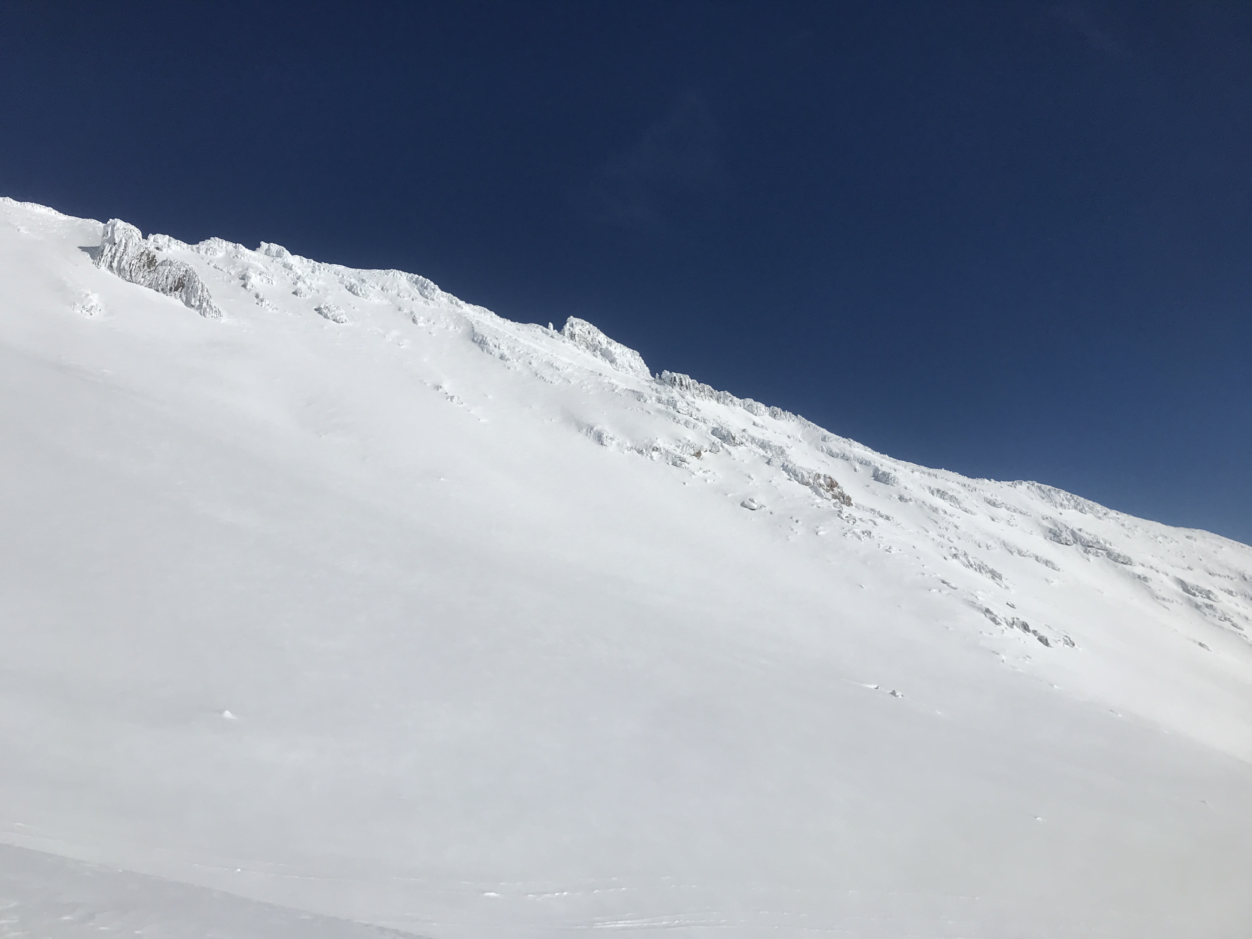
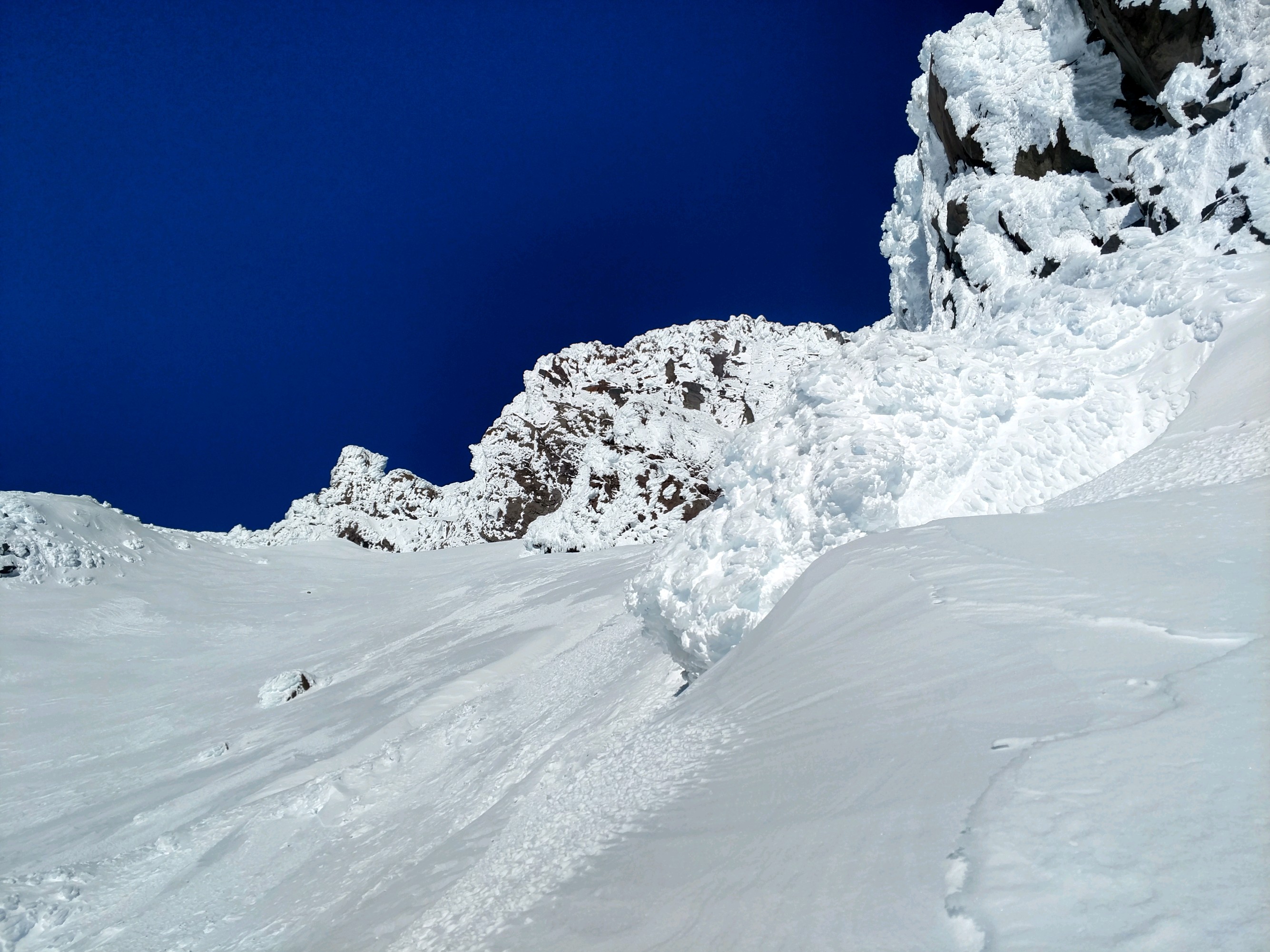
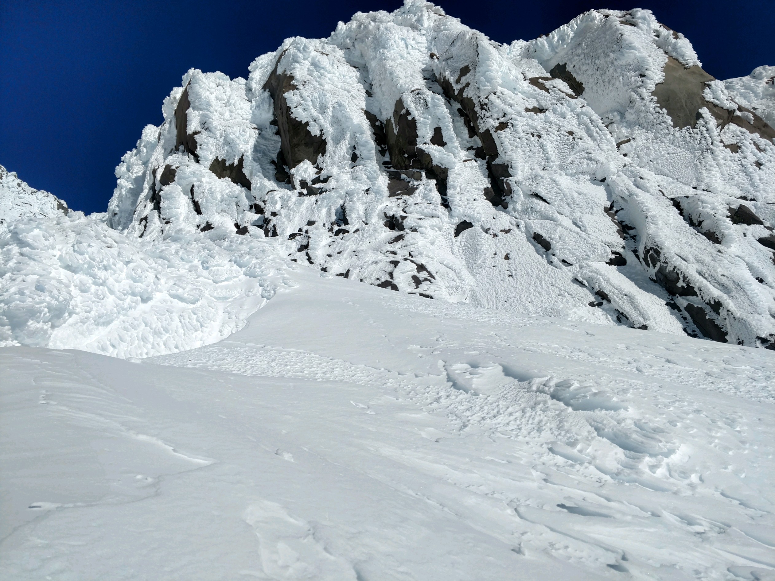
- Exposed rock features in alpine terrain are crusted in rime ice.
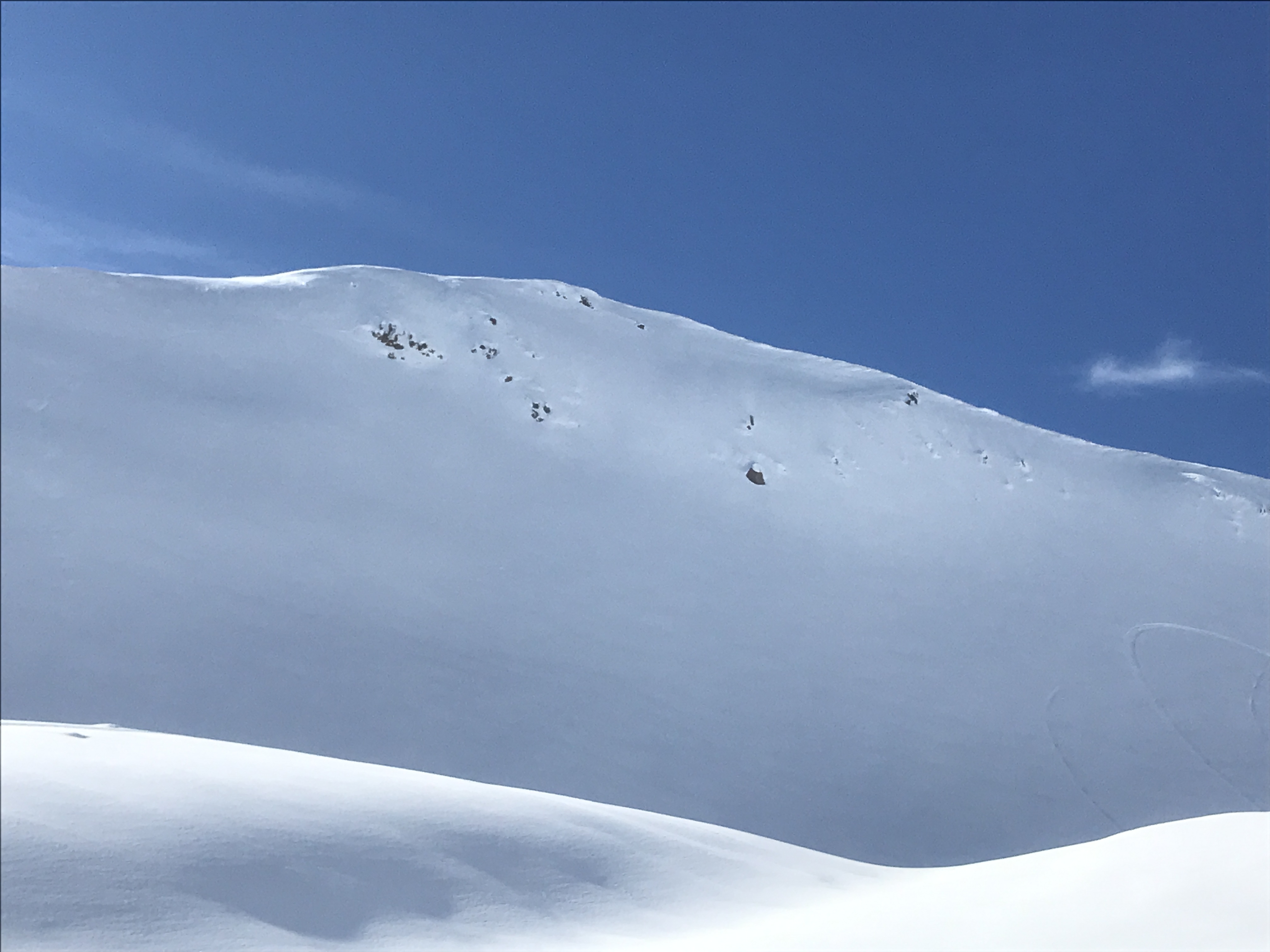
- Generally smooth snow surfaces have been observed; some wind affect in Avalanche Gulch and near ridgelines.
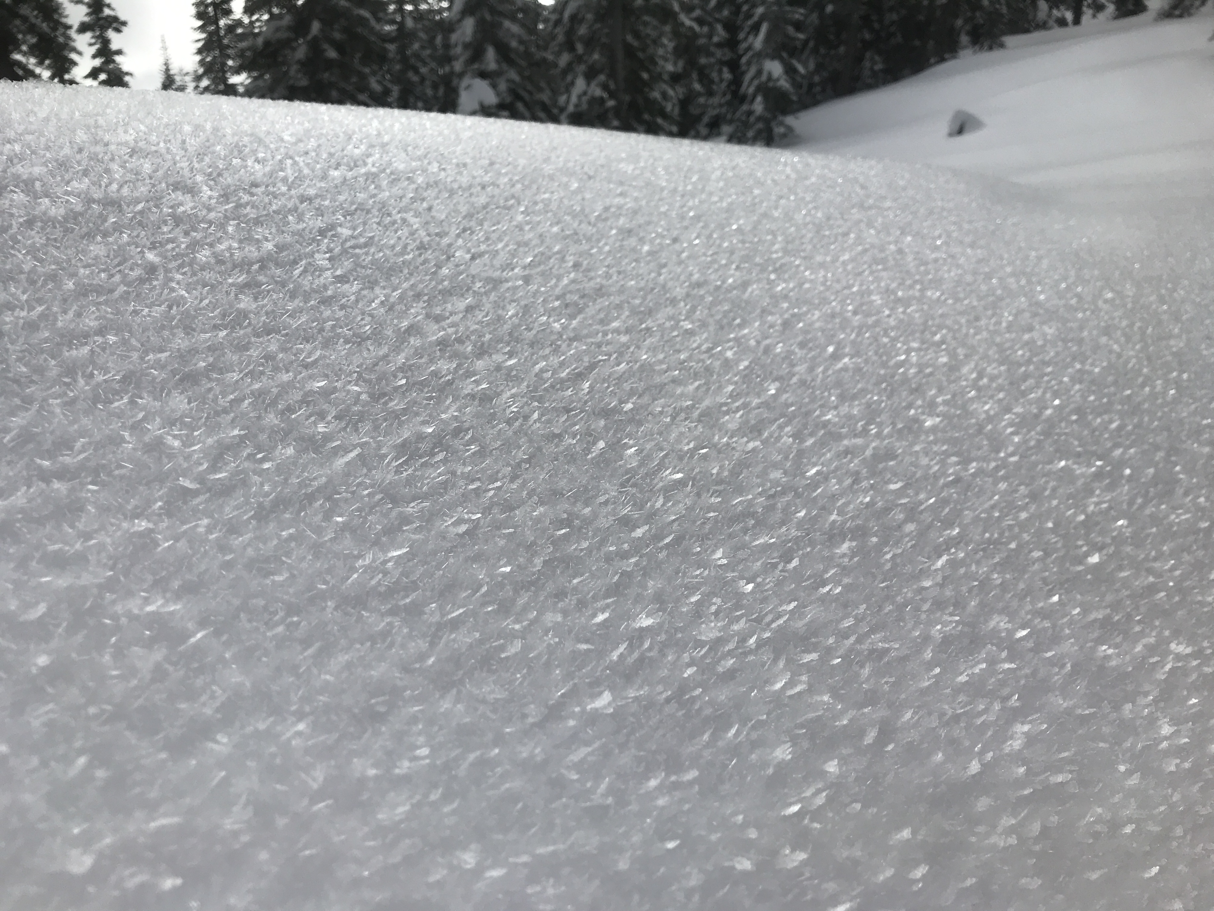
- Well developed surface hoar observed below treeline in protected, low lying areas.
- No recent avalanches or other red flags of avalanche danger
Photos
Weather Observations
Statistics
Cloud Cover:
ClearBlowing Snow:
NoPrecipitation:
NoneAccumulation rate:
NoneAir temperature:
Below FreezingAir temperature trend:
StaticWind Speed:
CalmWind Direction:
East
