

You are here
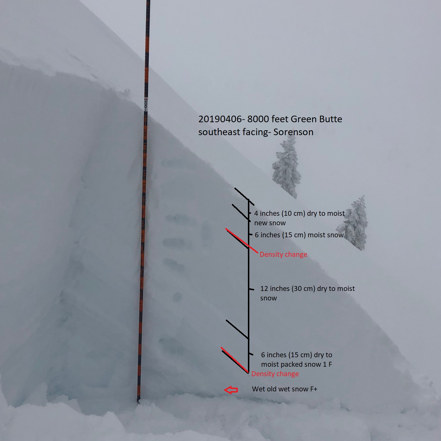
Storm conditions on Mount Shasta, Green Butte southeast aspect

Location Name:
Storm conditions on Mount Shasta, Green Butte southeast aspectRegion:
Mt. ShastaDate and time of observation:
Sat, 04/06/2019 - 2:30pmObservation made by:
ForecasterRed Flags:
Recent loading by new snow, wind, or rain
Location Map
96067
Mount Shasta
, CA
United States
41° 21' 46.9836" N, 122° 12' 54.0072" W
See map: Google Maps
California US
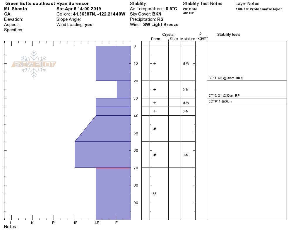
Snowpack Observations
Details
Photos
Weather Observations
Details
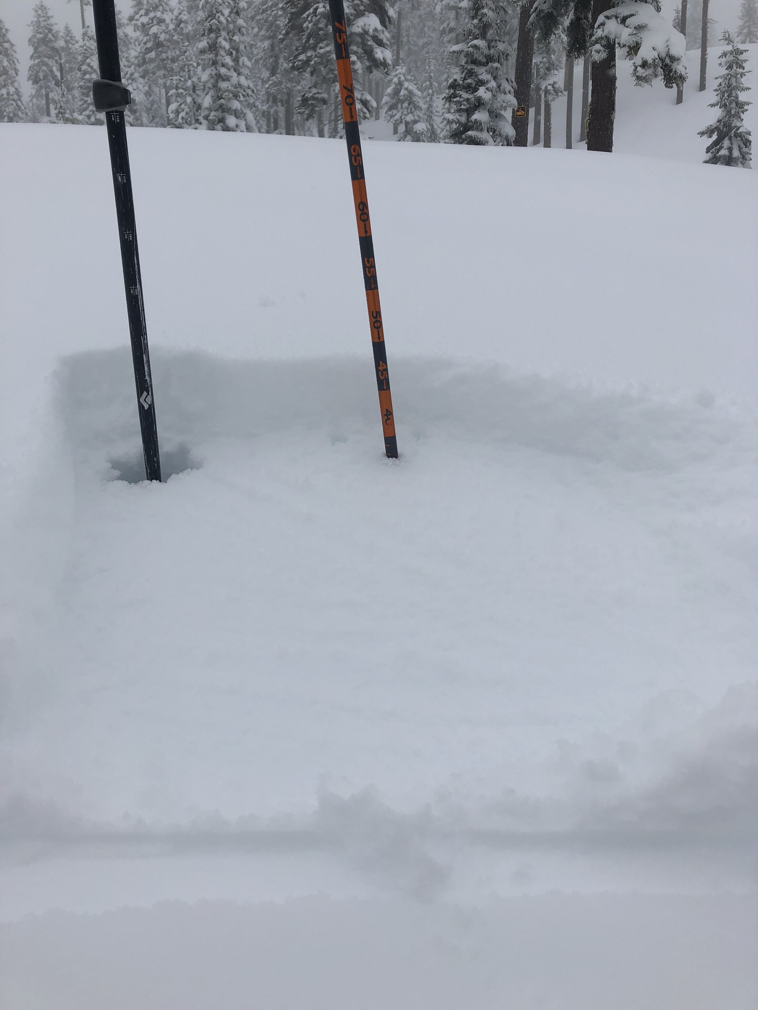
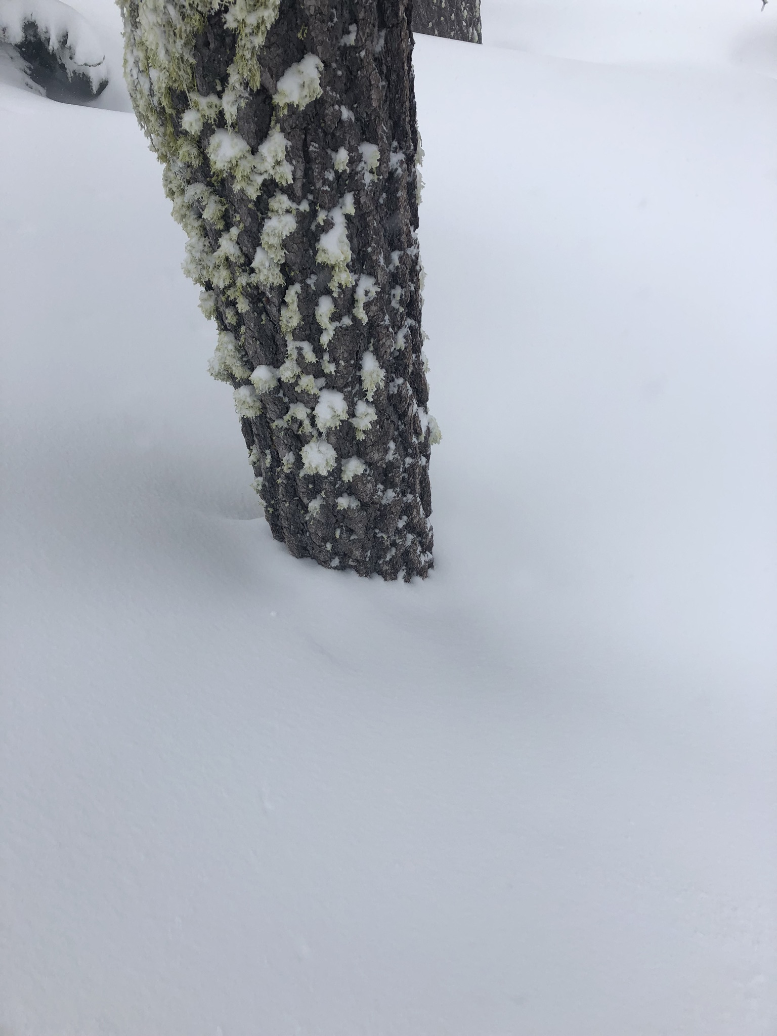
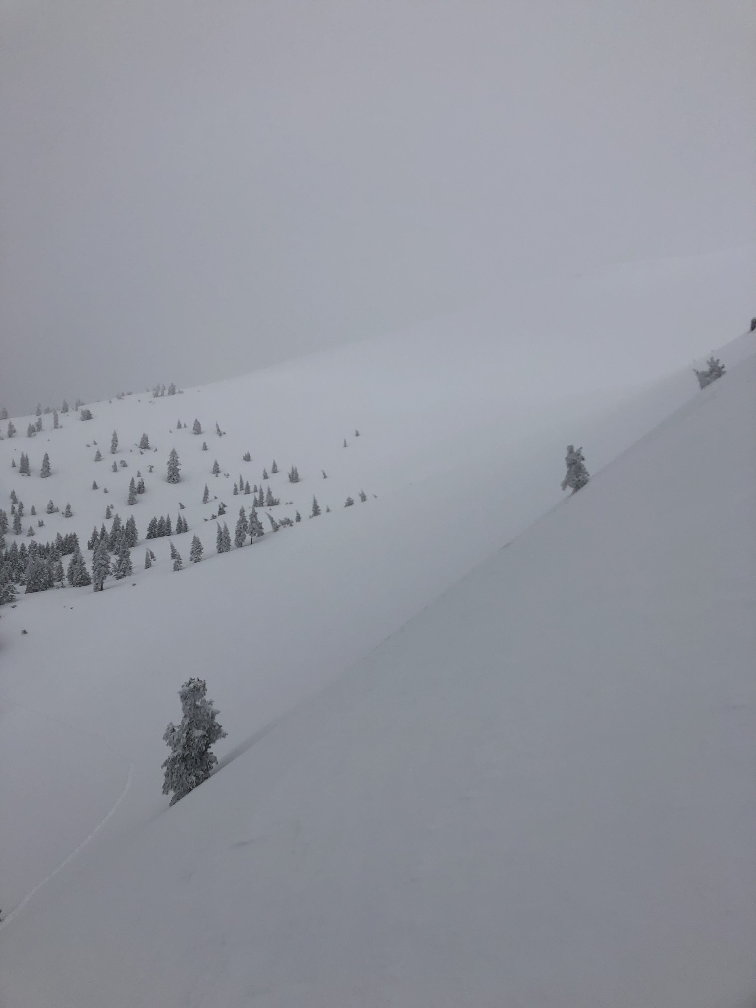
A wet spring storm blew this morning bringing rain and high snow levels at about 8,000 feet. Light winds were blowing out of the south/southwest. Some blowing snow was observed during snow squalls. Temperatures were trending warmer at 1400. Rain and snow showers would move in and out; it would rain one minute then snow the next as clouds and sun holes moved overhead.
Statistics
Cloud Cover:
100% of the sky covered by cloudsBlowing Snow:
YesPrecipitation:
SnowAccumulation rate:
Less than 1 in. per hourAir temperature:
Below FreezingAir temperature trend:
WarmingWind Speed:
LightWind Direction:
Southwest

Two to three inches of new wet snow was observed at 8,000 feet at treeline on Green Butte. Rain was observed on Mount Shasta as high as 8,000 feet at 1400 (04.06.2019). Small wind slabs were reactive on test slope near the bottom of the steep middle east facing ridgeline of Green Butte. Surface textures were variable from smooth, sticky, wet new snow to icy exposed ridgelines.