You are here

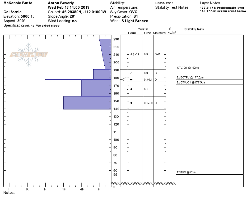
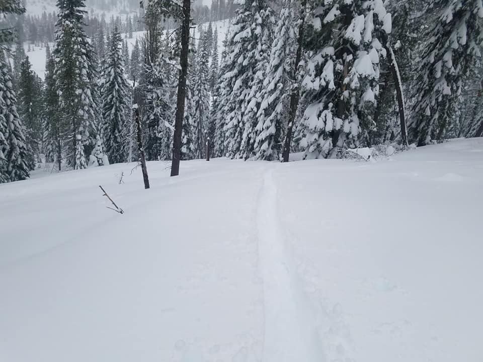
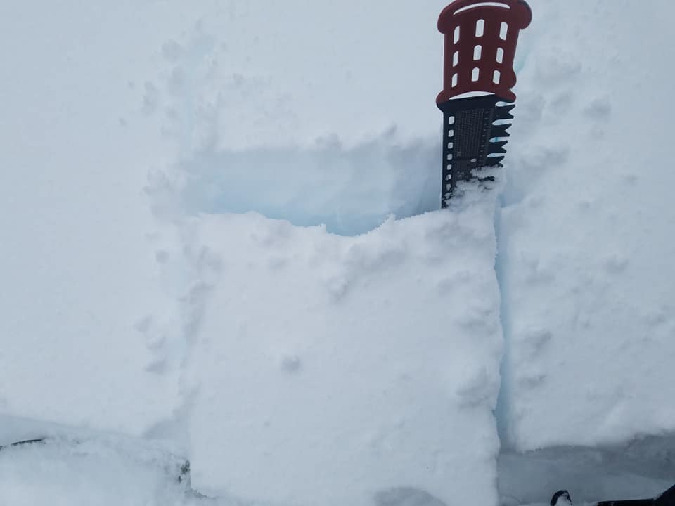
Storm Slabs on McKenzie Butte

Location Name: 
McKenzie Butte
Region: 
Mt. Shasta
Date and time of observation: 
Wed, 02/13/2019 - 2:00pm
Observation made by: 
Professional Observer
Red Flags:
Recent loading by new snow, wind, or rain

Location Map

96067 Mount Shasta , CA
United States
41° 19' 0.0984" N, 122° 11' 38.0004" W
California US

Snowpack Observations

Details

Observations on McKenzie Butte:

  • Height of snow (HS): 230 cm (91 in).
  • Height of storm snow (HST): 53 cm (21 in).
  • Blocking snow within new snow.
  • Ski tests in low angle terrain indicate storm slabs up to 53 cm (21 in) deep.
  • Hand tests yielded easy failures down 53 cm.
  • Column tests indicate very touchy storm slabs releasing on Monday's freezing drizzle breakable ice layer. Column tests conducted in two locations yielded the same results. Failures all occurred on isolation (see test profile below):
    • ECTPV x 4 ↓ 53 cm, CTC SC x 3 ↓ 53 cm, CTC SC x 1 ↓ 39 cm

Photos

  • Test Profile to 2/2/19 rain crust
  • Ski penetration up to 18 inches
  • Hand tests yielded easy failure down 53 cm (21 in) on thin breakable ice crust.

Weather Observations

Statistics

Cloud Cover: 
100% of the sky covered by clouds
Blowing Snow: 
No
Precipitation: 
Mixed rain and snow
Accumulation rate: 
Less than 1 in. per hour
Air temperature: 
Above Freezing
Air temperature trend: 
Warming
Wind Speed: 
Light
Wind Direction: 
South