

You are here
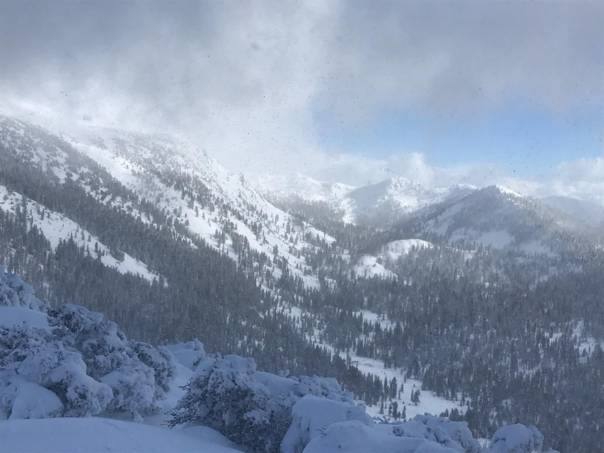
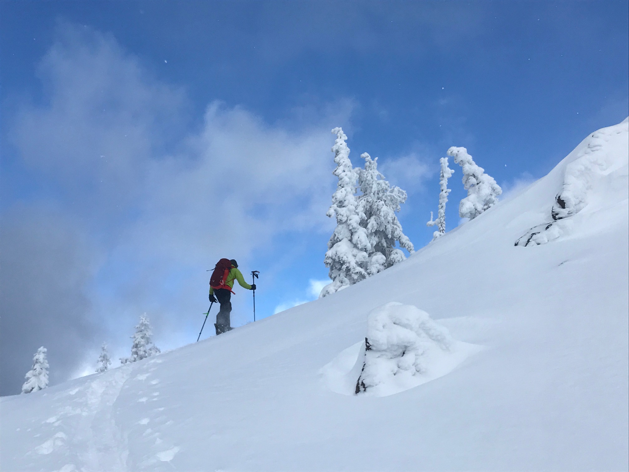
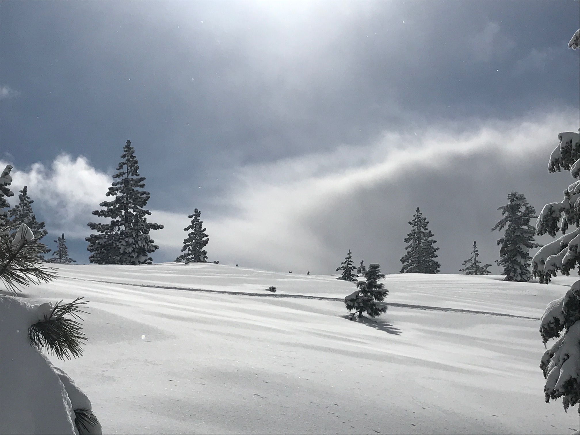
Sun, snow flurries, wind and a mostly stable snowpack in the Eddies
Location Name:
Parks Creek Summit areaRegion:
Mt EddyDate and time of observation:
Sun, 02/17/2019 - 1:30pmObservation made by:
ForecasterRed Flags:
Recent loading by new snow, wind, or rain
Location Map
96067
Mount Shasta
, CA
United States
41° 20' 21.1416" N, 122° 32' 13.02" W
See map: Google Maps
California US
Snowpack Observations
Details
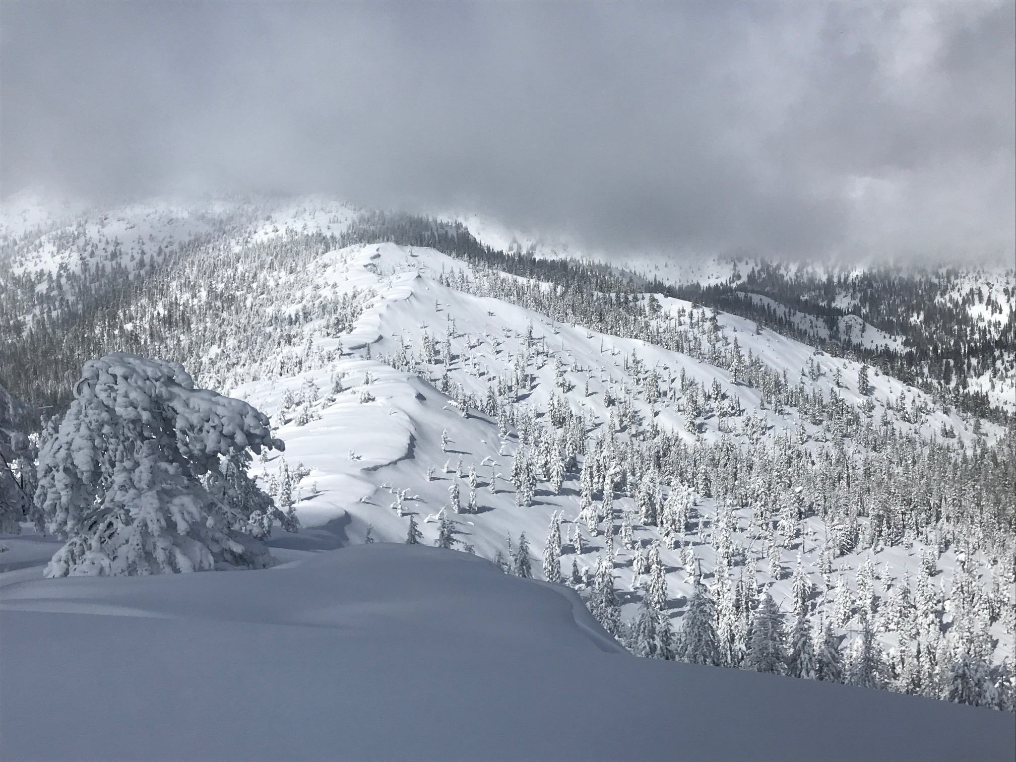
- 8 to 18" of dry, low density snow on top of widespread, supportable crust
- 6 to 8 feet of snow at Parks Creek Summit
- Much deeper in wind loaded areas
- Winds out of the northwest blowing snow across ridgelines
- Medium to large cornices observed, west facing
- Slabby snow with some cracking along wind exposed areas
- No recent avalanches observed
- Primary concern was for wind slabs along steep, windy ridges
- Poor slab properties in protected areas and overall stable conditions were observed
Photos
Weather Observations
Details
- A cold, crisp day with temps in the 20's and wind chill along ridges much lower
- Blustery winds out of the northwest transporting snow onto leeward southeasterly slopes
- Brief periods of light to heavy snow, blue sky, clouds. New snow accumulation minimal.
Statistics
Cloud Cover:
25% of the sky covered by cloudsBlowing Snow:
YesPrecipitation:
SnowAccumulation rate:
Less than 1 in. per hourAir temperature:
Below FreezingAir temperature trend:
StaticWind Speed:
ModerateWind Direction:
Northwest
