

You are here
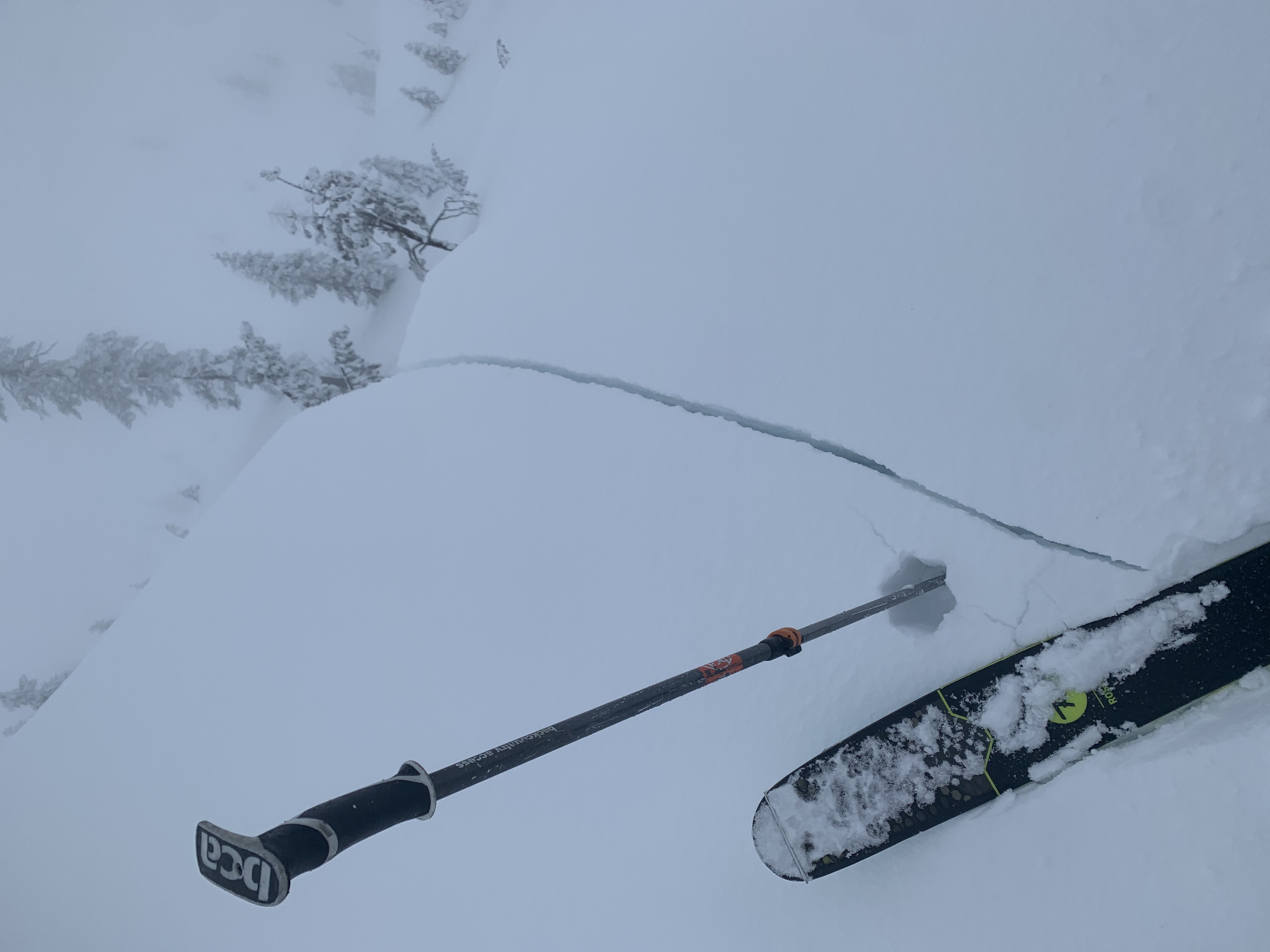
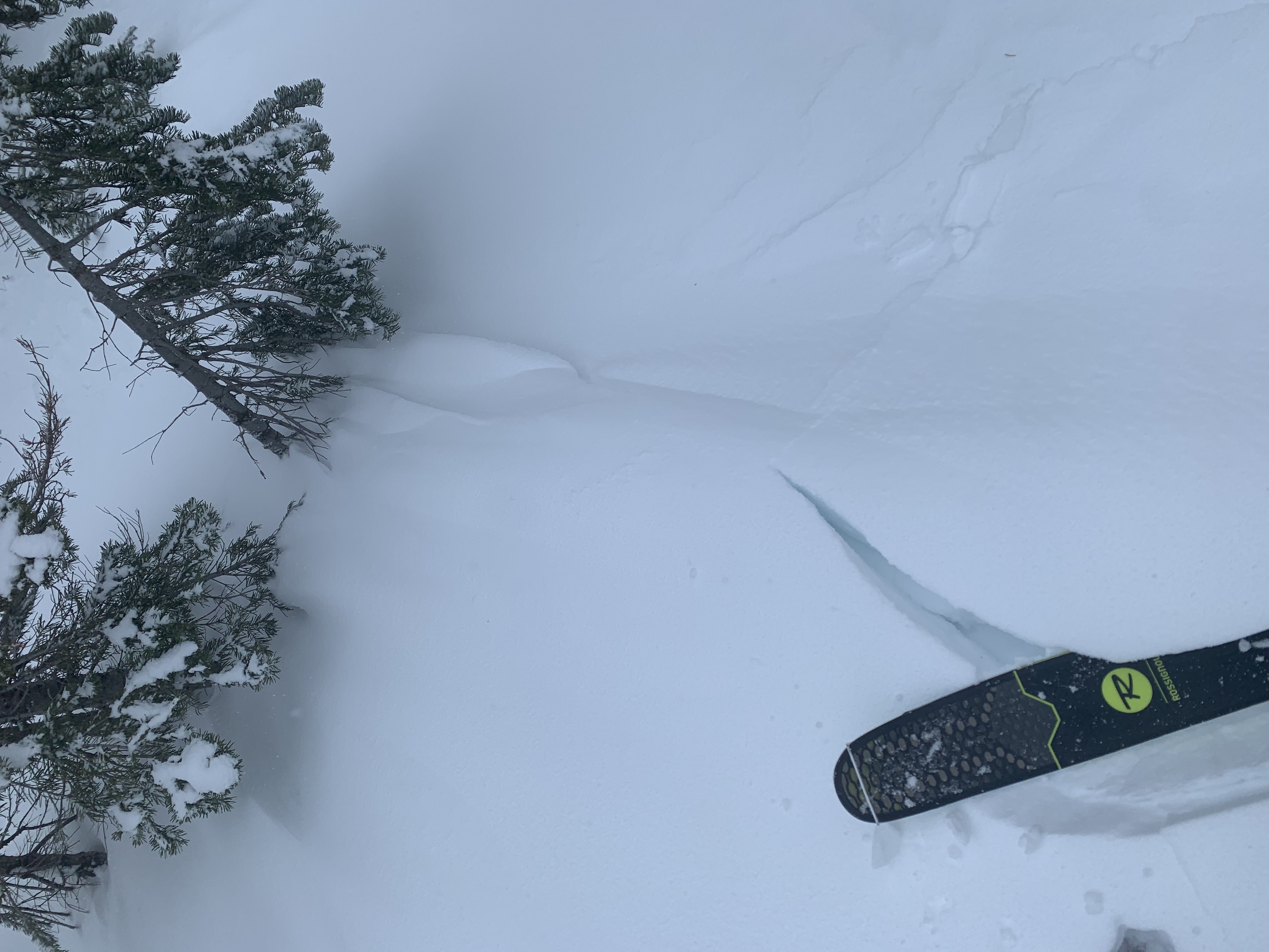
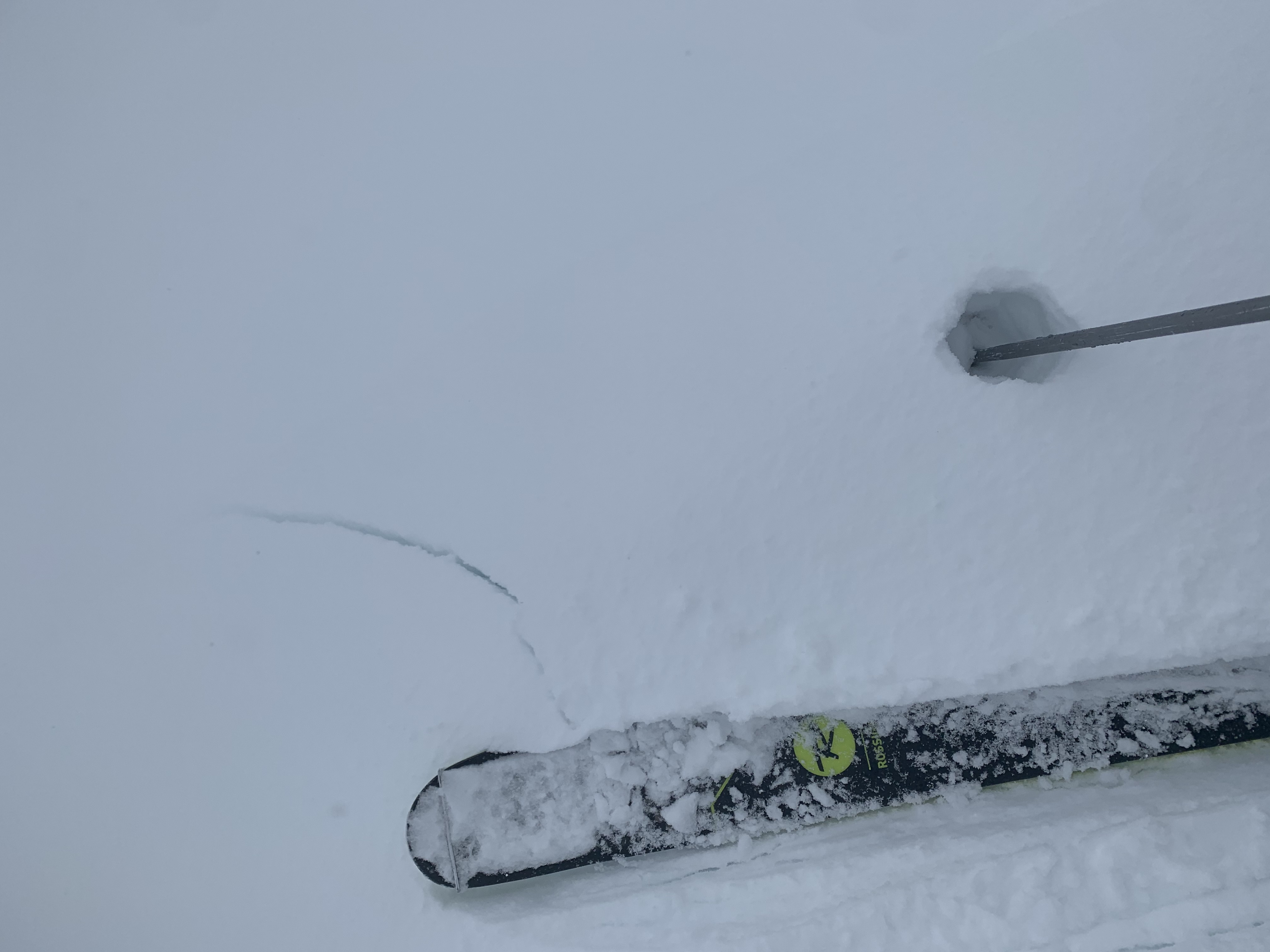
Touchy cornices and wind slabs at Castle Lake

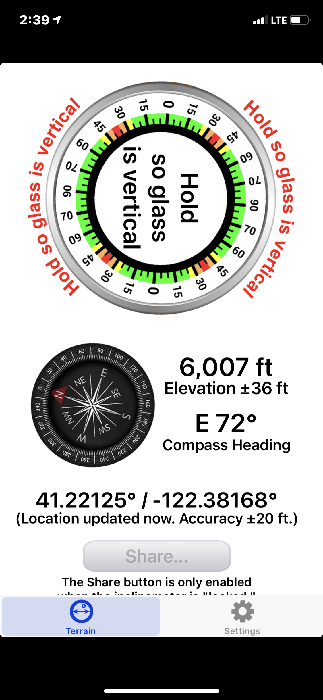
Location Name:
Castle LakeRegion:
Castle LakeDate and time of observation:
Fri, 02/19/2021 - 2:30pmObservation made by:
ForecasterRed Flags:
Whumphing noises, shooting cracks, or collapsing
Recent loading by new snow, wind, or rain
Location Map
96067
Mount Shasta
, CA
United States
41° 13' 10.4412" N, 122° 23' 2.5296" W
See map: Google Maps
California US
Snowpack Observations
Details
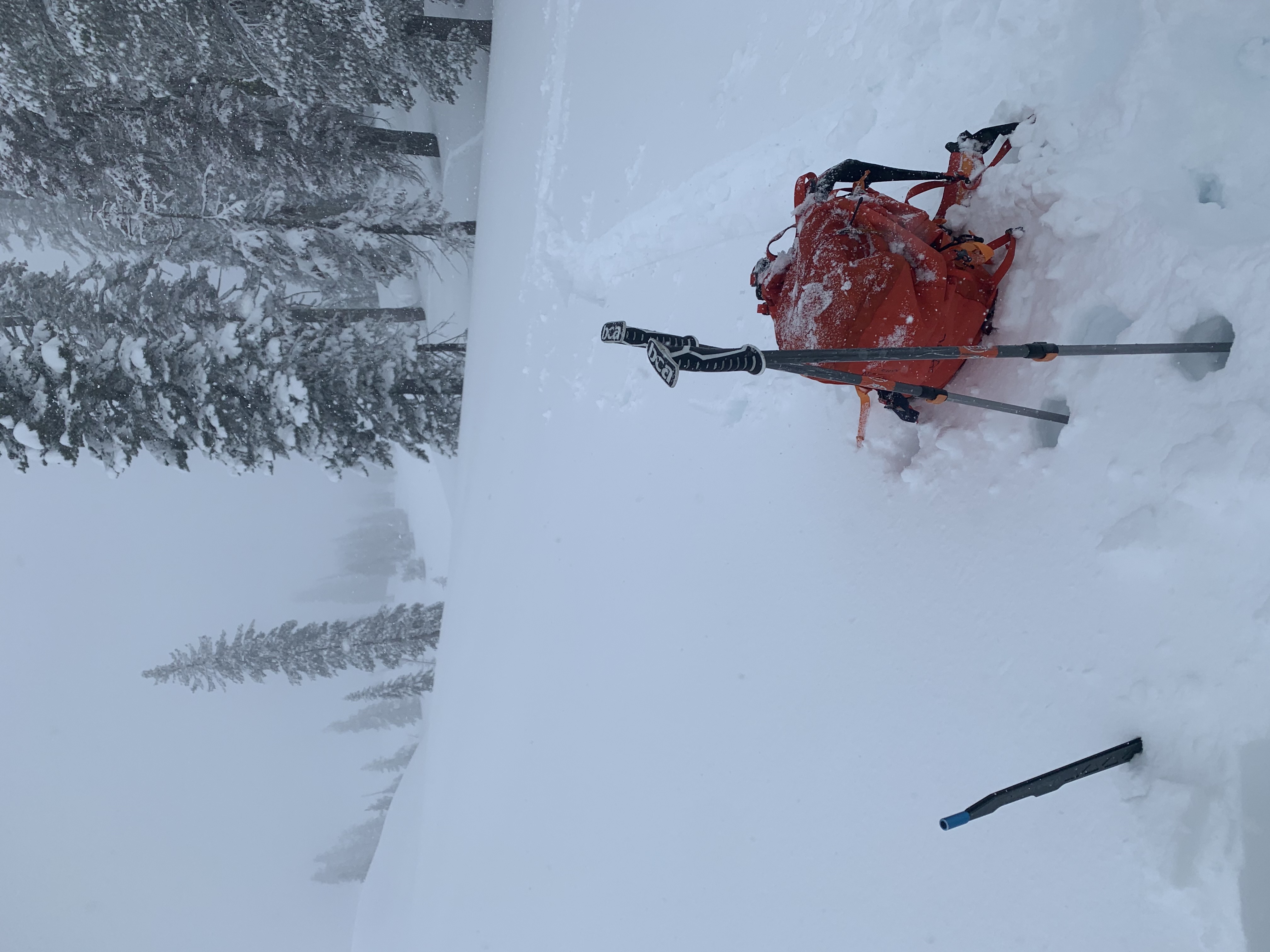
Photos
Weather Observations
Details
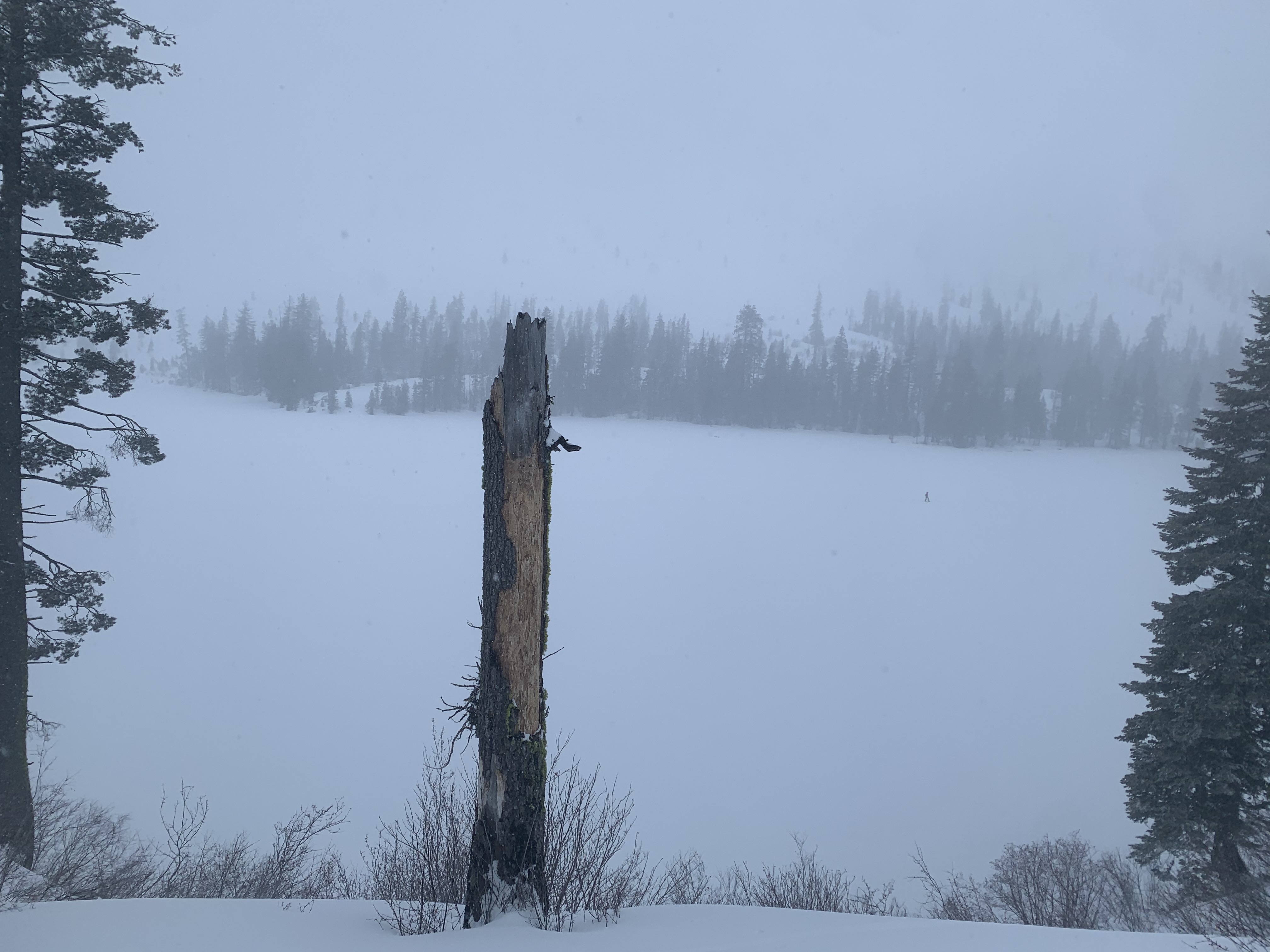
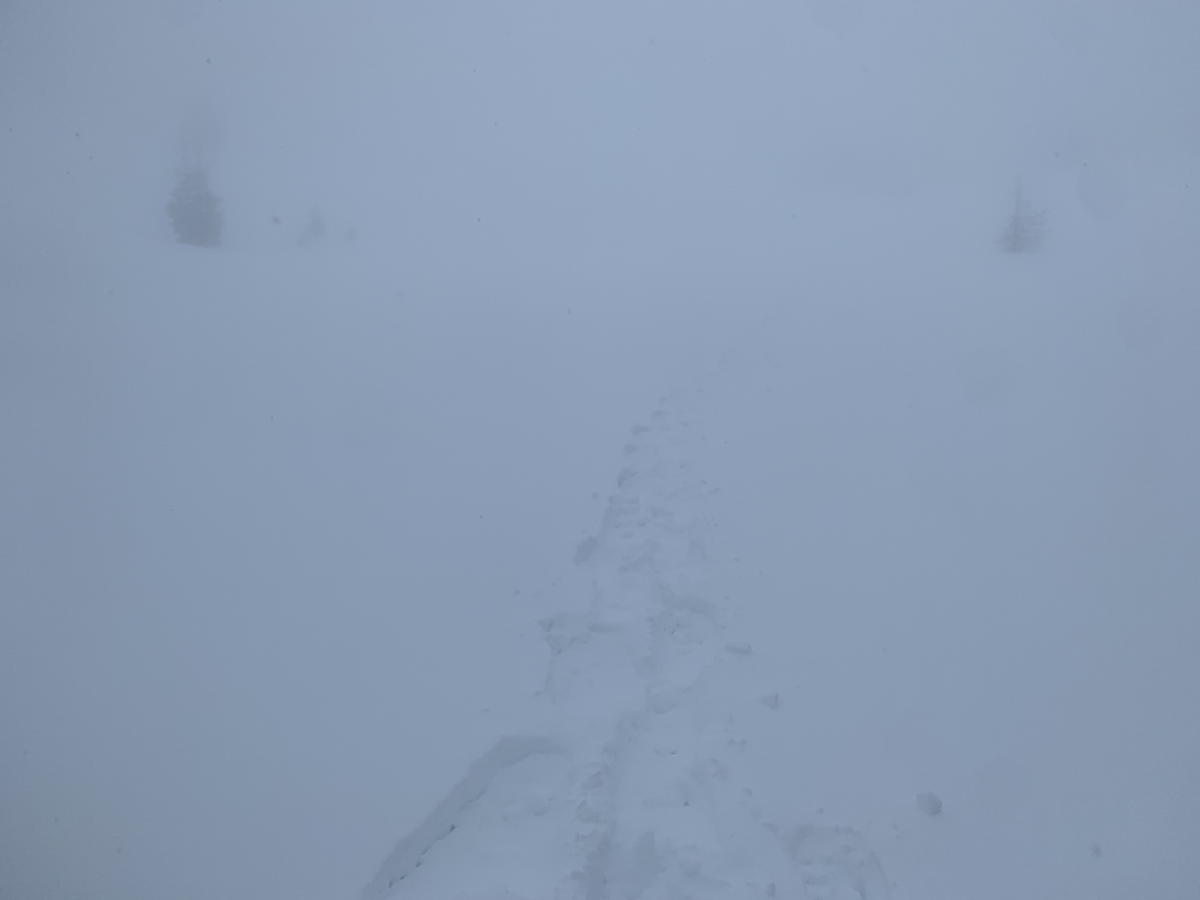
- Very poor visibility
- Moderate W/SW winds along higher terrain
- Snow flurries throughout the day, total daytime snow accumulation 1-2 inches
- Active wind loading on N/NE/E facing aspects
- Ridges scoured to old snow surfaces
Statistics
Cloud Cover:
100% of the sky covered by cloudsBlowing Snow:
YesPrecipitation:
SnowAccumulation rate:
Less than 1 in. per hourAir temperature:
Above FreezingAir temperature trend:
CoolingWind Speed:
ModerateWind Direction:
Southwest

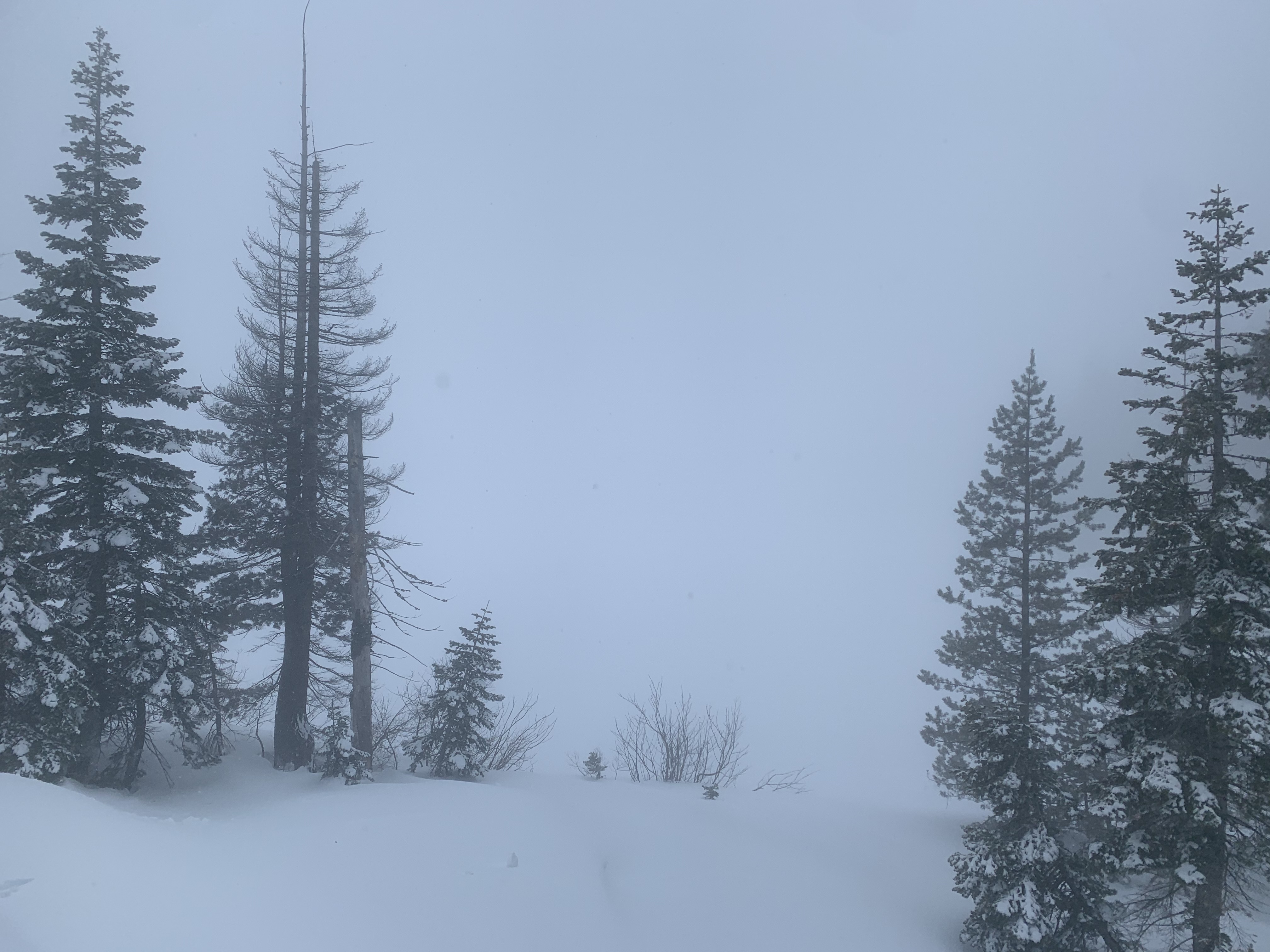
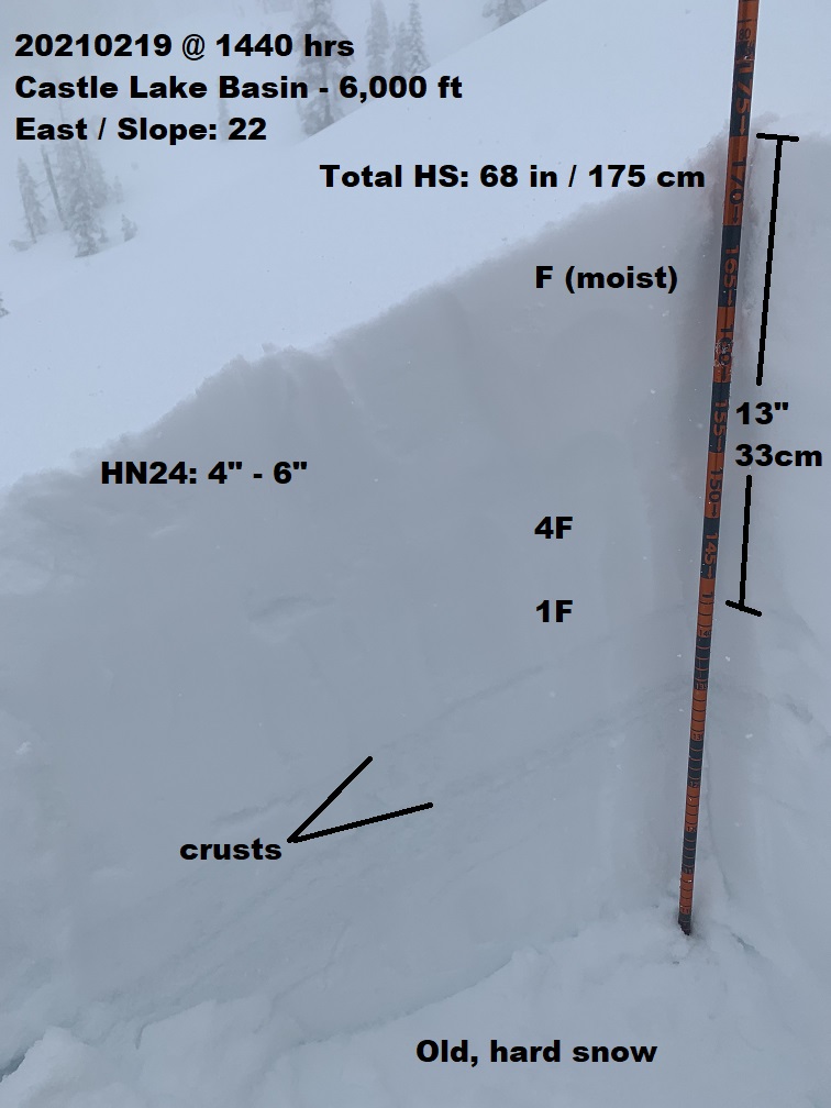
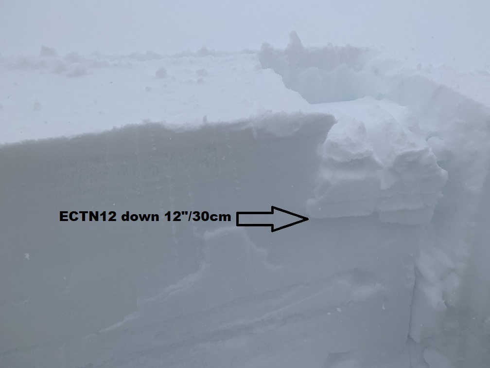
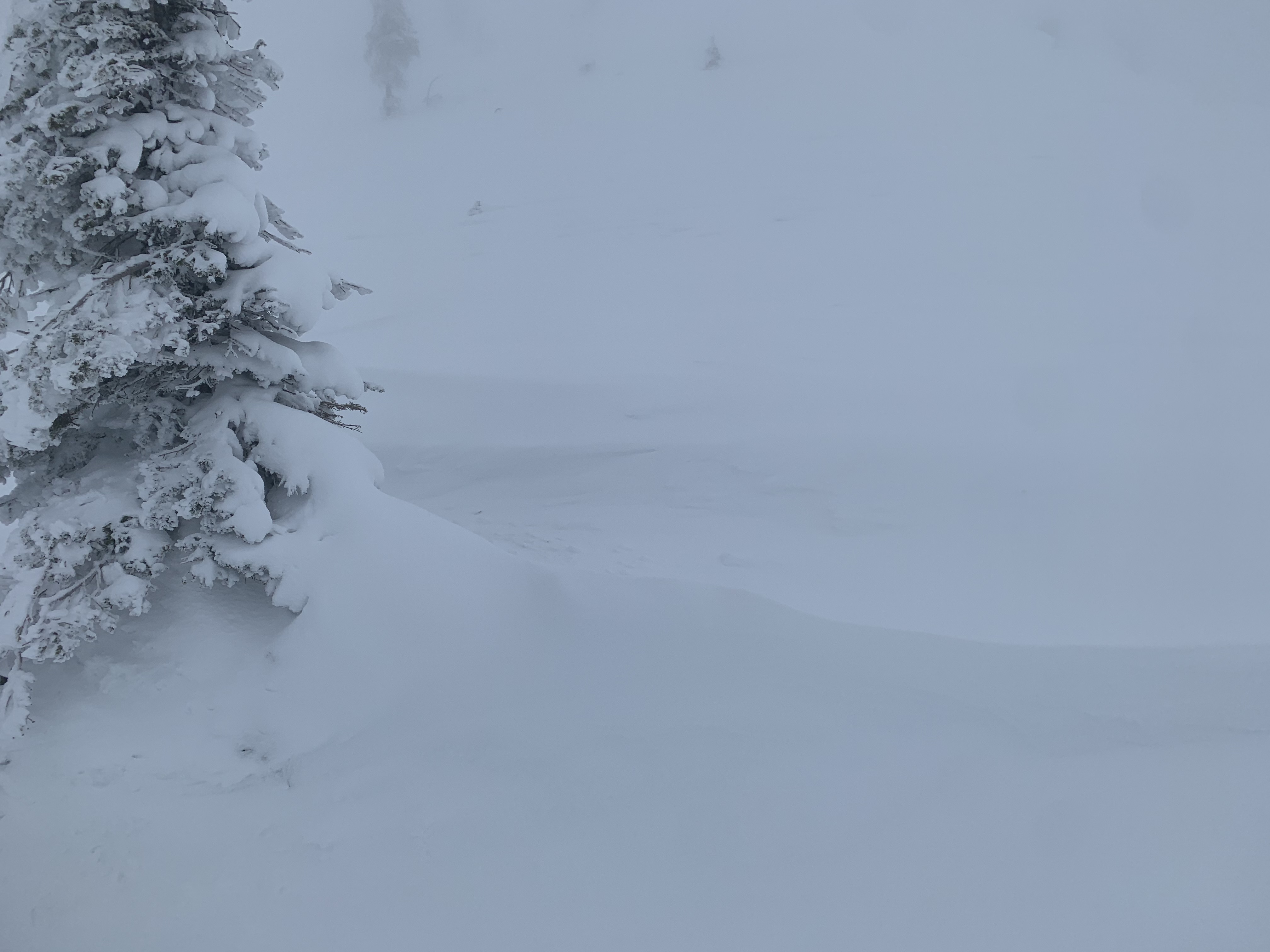
A full circle tour of the Castle Lake Basin today. The forecast area saw breaks in precipitation over the past two days, but very little clearing. Today was very similar to yesterday: very poor visibility, moderate SW/W wind, snow flurries and touchy cornices and wind slabs along wind exposed ridgelines, bowls and moraines near and above treeline. Below treeline, the new snow kept itself together quite well with no obvious signs of avalanche danger presented. New snow amounts varied widely depending on topography: anywhere from 4 to 12 inches of new snow was measured. In calm, protected areas, about 4 - 6 inches seems to be about average. Near and above treeline where wind was present was the priority concern for the day. Cornices along the ridges were quite large and sensitive. I stomped on a few small ones but stayed well clear of the biggies. Cornices did not trigger wind slabs on slopes below. Wind slabs were observed up to several feet thick, but were not as sensitive as the day prior on Mt. Shasta. Again, the most notable watch out's for the day was cornices along ridges and wind slabs on steep (>35 degrees), unsupported slopes.