

You are here
Update after Last Night's Storm
")
Location Name:
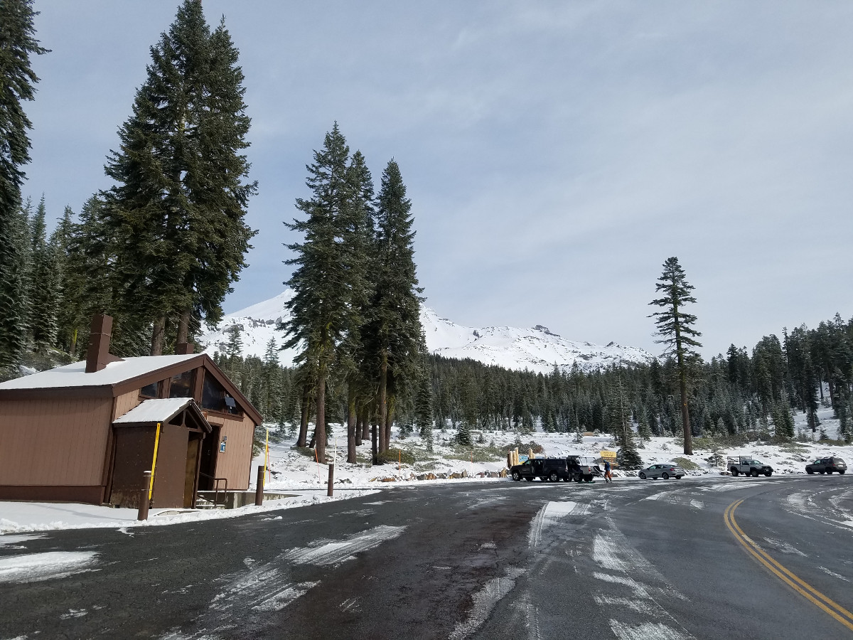
Old Ski Bowl, Avalanche GulchDate and time of observation:
Tue, 01/16/2018 - 11:00pmObservation made by:
Professional ObserverLocation Map
96067
Mount Shasta
, CA
United States
41° 23' 27.978" N, 122° 12' 22.4964" W
See map: Google Maps
California US
Snowpack Observations
Details
Photos

Weather Observations
Statistics
Cloud Cover:
50% of the sky covered by cloudsBlowing Snow:
NoPrecipitation:
NoneAccumulation rate:
NoneAir temperature:
Above FreezingAir temperature trend:
StaticWind Speed:
LightWind Direction:
Northwest

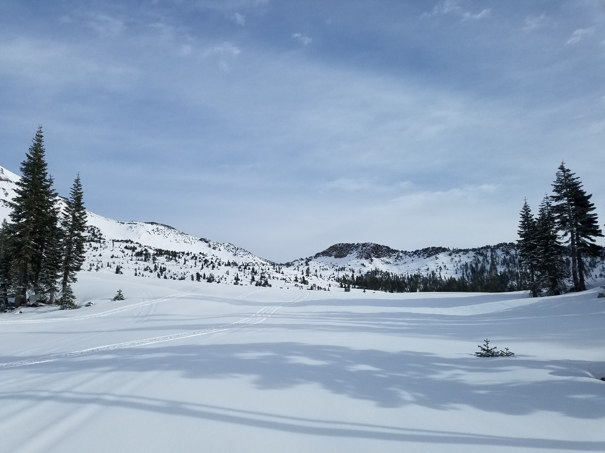
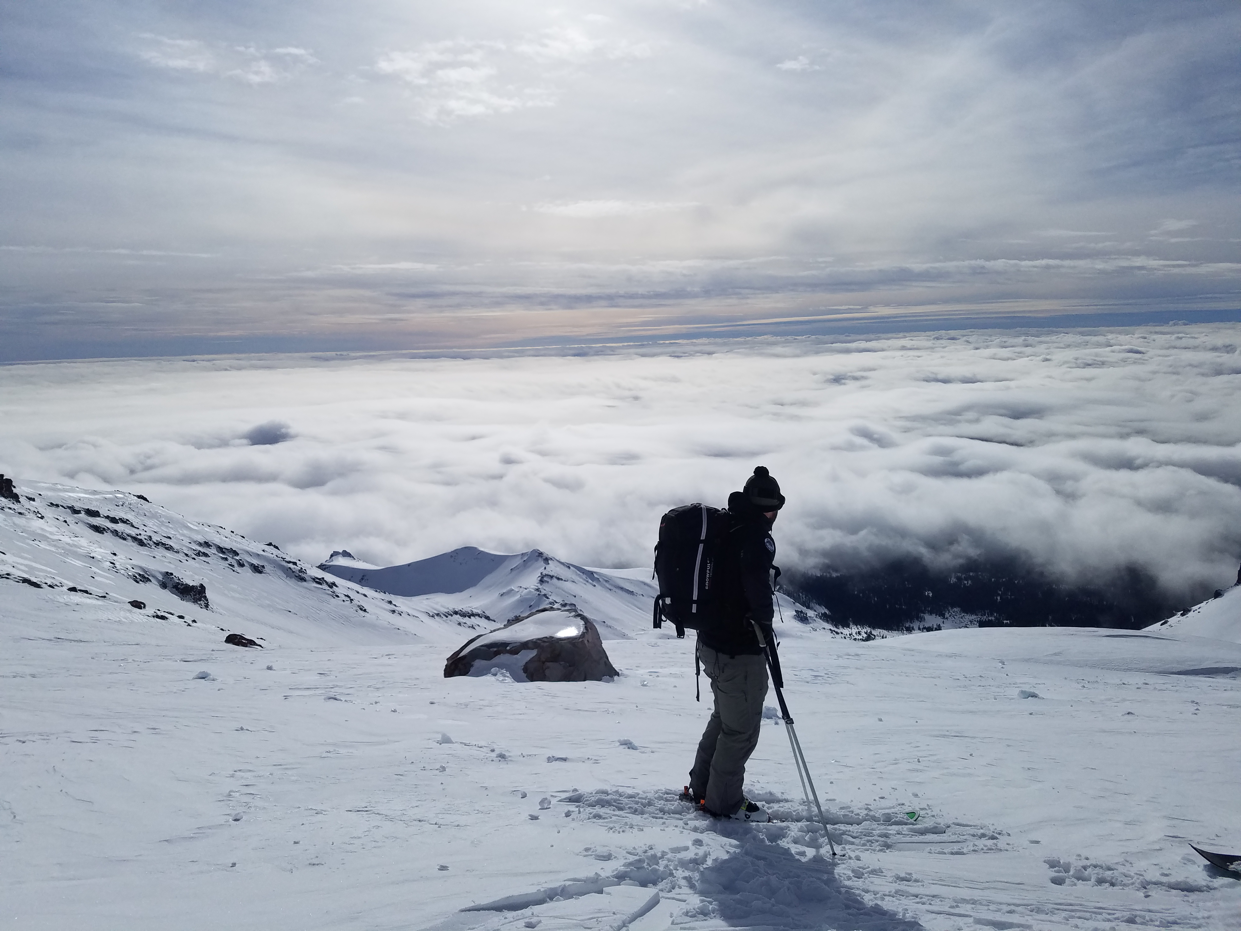
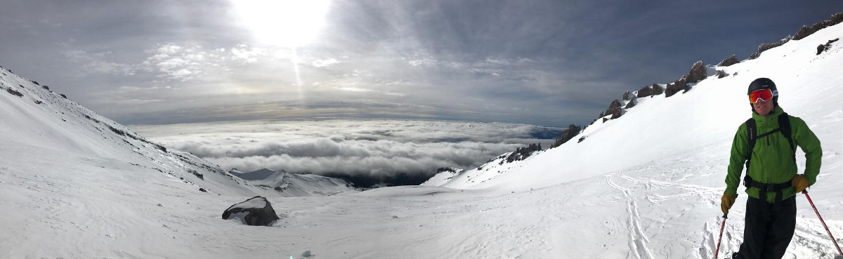
Last night snow levels came down to 5800 ft and 2-3 in (5-7 cm) of dry snow freshened Mount Shasta near and above treeline. Above 7600 ft, the height of new snow showed very little variation up to 10,000 ft. Snow surfaces were a mix of drifted snow, firm icy crusts, and wind eroded features. From 10,000 ft to 11,000 ft, snow surfaces were more scoured.
Wind deposited snow from last night was thin and confined mostly to easterly aspects. Though one small unreactive 12 in (30 cm) deep wind slab was encountered on an east facing convexity, generally no signs of a wind slab problem were seen. New snow had bonded well to the old snow surface. No wind transport of snow was observed today at any elevation. Snow was best in gulleys and skiing was decent when you could avoid icy patches.