

You are here
Warm, wet and rain on snow
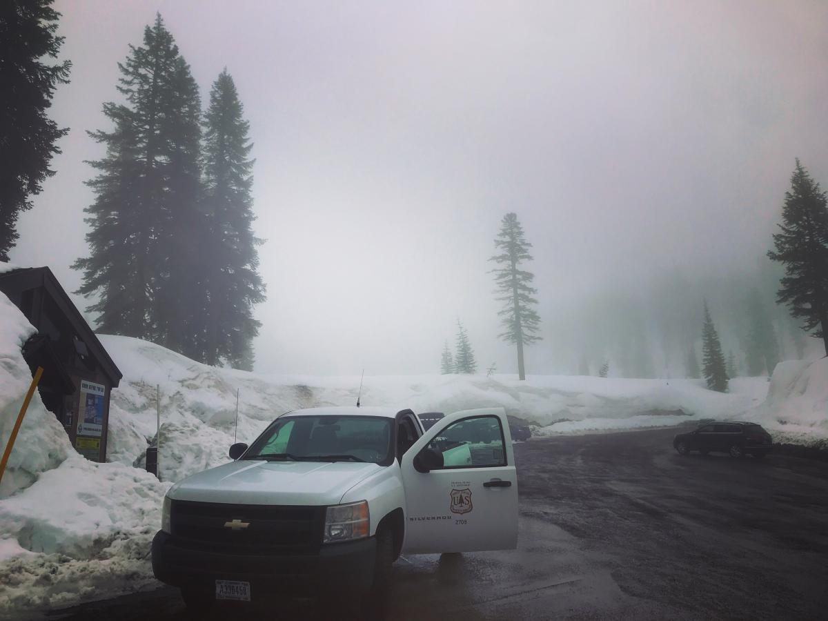
Location Name:
Below TreelineRegion:
Mt. ShastaDate and time of observation:
Thu, 04/04/2019 - 1:00pmObservation made by:
ForecasterRed Flags:
Recent loading by new snow, wind, or rain
Rapid warming
Location Map
96067
Mount Shasta
, CA
United States
41° 21' 17.4816" N, 122° 13' 55.0704" W
See map: Google Maps
California US
Snowpack Observations
Details
Weather Observations
Statistics
Cloud Cover:
100% of the sky covered by cloudsBlowing Snow:
NoPrecipitation:
Mixed rain and snowAccumulation rate:
Less than 1 in. per hourAir temperature:
Above FreezingAir temperature trend:
WarmingWind Speed:
ModerateWind Direction:
South

It's been a warm, wet and rainy week. Clouds, rain showers, heavy mist and poor visibility has been the soup de jour for the past several days. Very few have been getting into the backcountry and the Mt Shasta Ski Park has been closed due to conditions. Snow surfaces have been super wet and soft, with boot penetration up to two feet. We havn't seen any recent avalanches or glaring signs of instability at lower elevations. The rain on snow has squashed most concerns. Near and above treeline, uncertainty remains. Heavy, wet snow is likely pasting onto avalanche prone slopes pretty well, but we cannot confirm this. Loose snow instabilities have been possible, but with the new snow last night, are not a concern at the moment. Temperatures are forecast to warm over the weekend with continued, unsettled wet weather.