

You are here
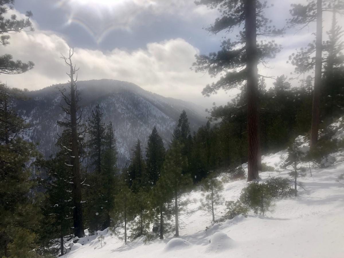
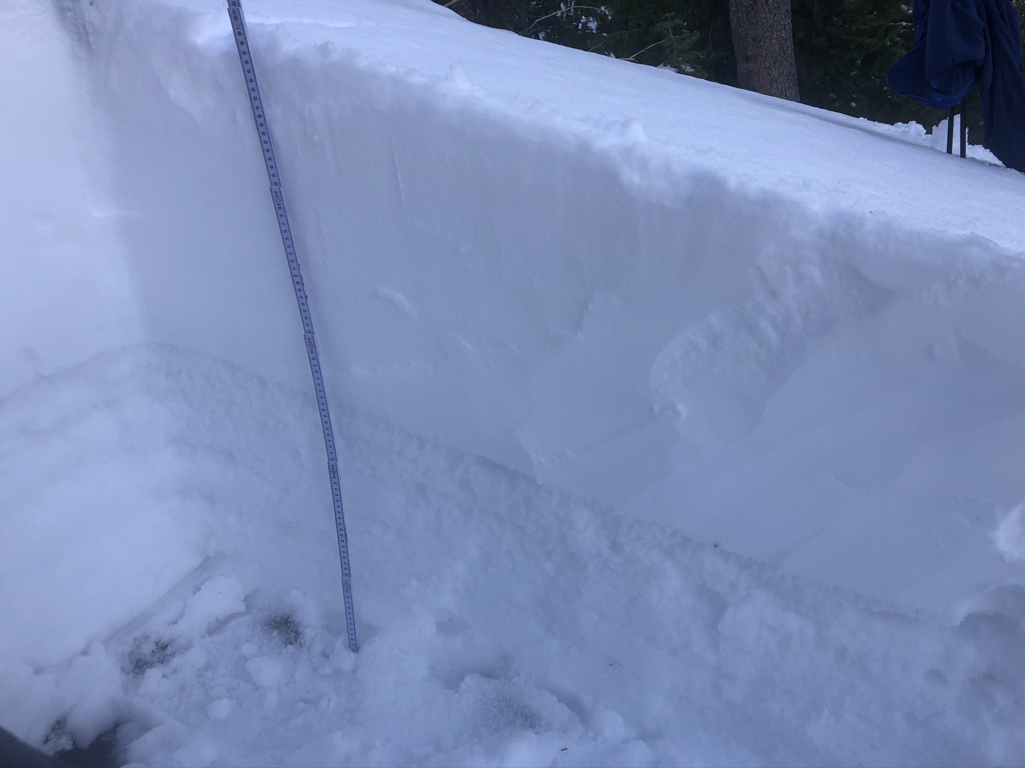
West Fork Parks Creek persistent layer observation
Location Name:
West Fork Parks Creek persistent layer observation Region:
Mt. ShastaDate and time of observation:
Sat, 01/18/2020 - 1:00pmObservation made by:
ForecasterRed Flags:
Rapid warming
Location Map
96067
Mount Shasta
, CA
United States
41° 24' 45.6156" N, 122° 33' 9.1476" W
See map: Google Maps
California US
Snowpack Observations
Details
Photos
Videos
Weather Observations
Statistics
Cloud Cover:
50% of the sky covered by cloudsBlowing Snow:
NoPrecipitation:
RainAccumulation rate:
NoneAir temperature:
Above FreezingAir temperature trend:
WarmingWind Speed:
LightWind Direction:
Southeast

Observation near West Fork Parks Creek: