

You are here
Mumbo Basin Avalanche

Location Name:
Upper Mumbo Lake AreaRegion:
Castle LakeDate and time of avalanche (best estimate if unknown):
Wed, 03/29/2023 - 1:00pmObservation made by:
ForecasterRed Flags:
Recent avalanche activity
Obvious avalanche path
Location Map
96067
Mount Shasta
, CA
United States
41° 11' 15.2412" N, 122° 30' 22.4028" W
See map: Google Maps
California US
Avalanche Observations
Details
Photos
Characteristics
Avalanche Type:
SlabTrigger type:
NaturalSlope:
38degreesAspect:
NorthwestElevation:
6 300ft.Terrain:
Below TreelineWeak Layer:
Old SnowBed Surface:
Old SnowCrown Height:
3 ftAvalanche Width:
800ft.Avalanche Length:
500ft.Number of similar avalanches:
3Number of people caught:
0Number of partial burials:
0Number of full burials:
0Weather Observations
Statistics
Cloud Cover:
100% of the sky covered by cloudsBlowing Snow:
NoPrecipitation:
SnowAccumulation rate:
Less than 1 in. per hourAir temperature:
Below FreezingAir temperature trend:
StaticWind Speed:
LightWind Direction:
Southwest

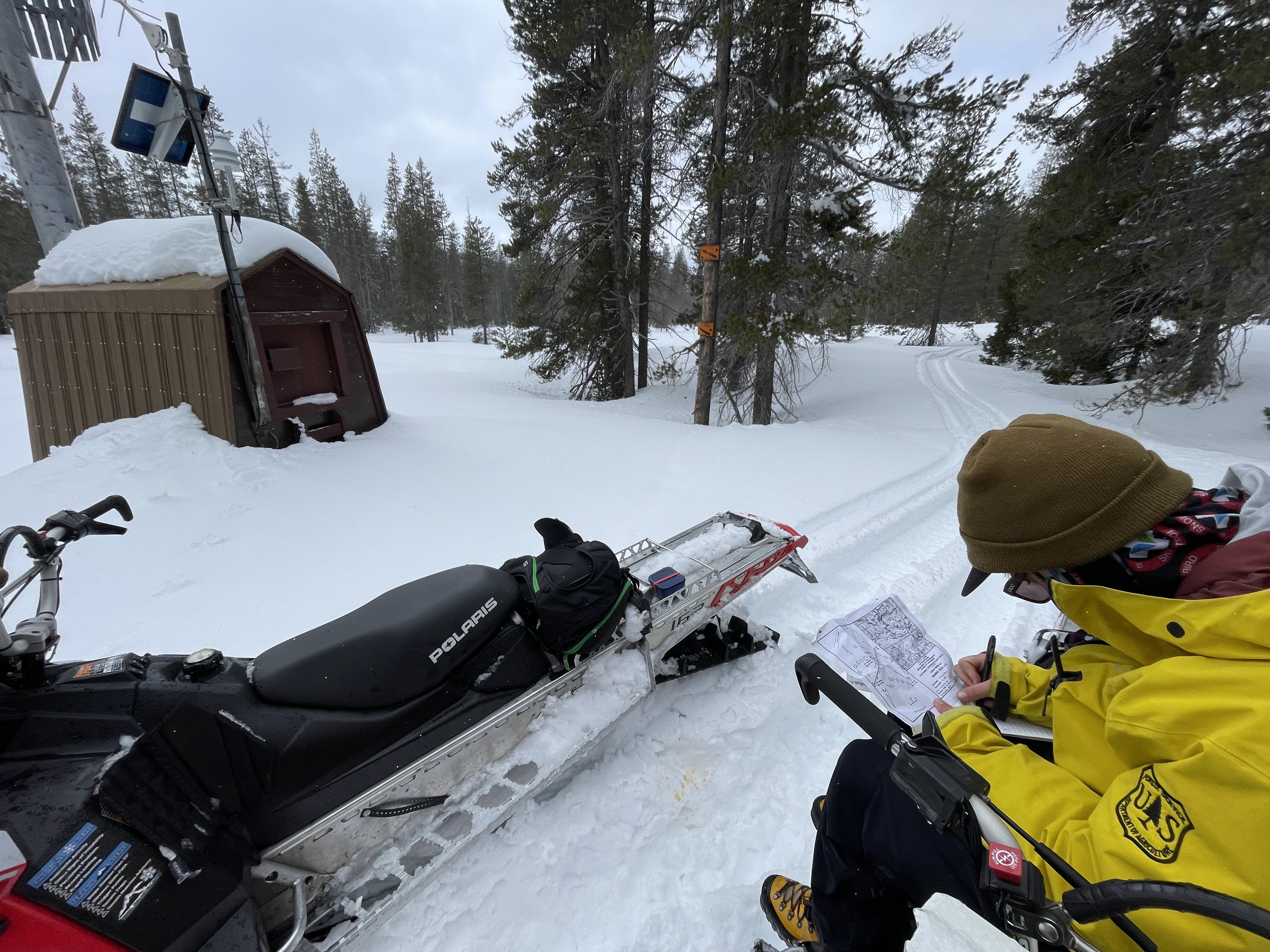
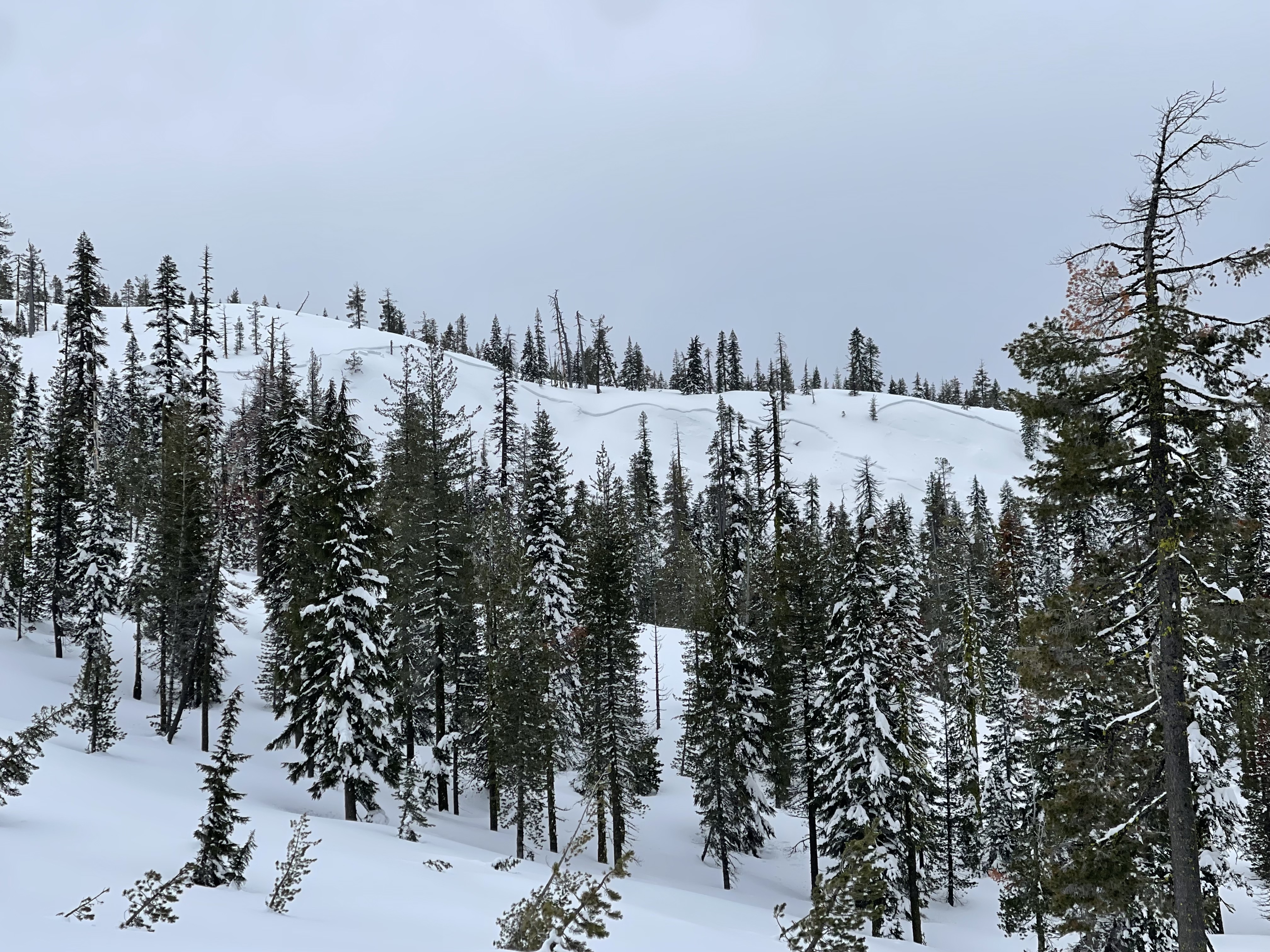
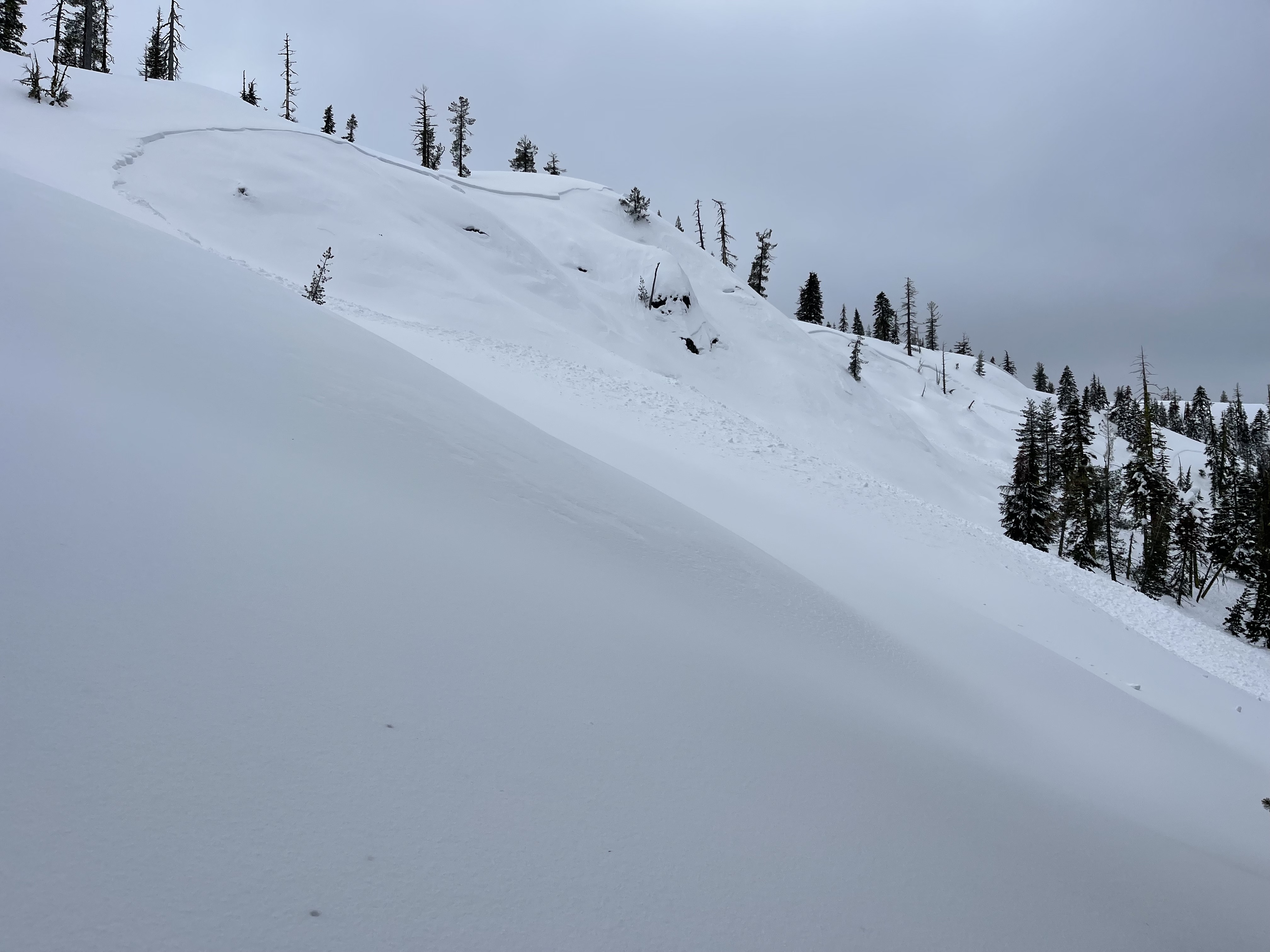
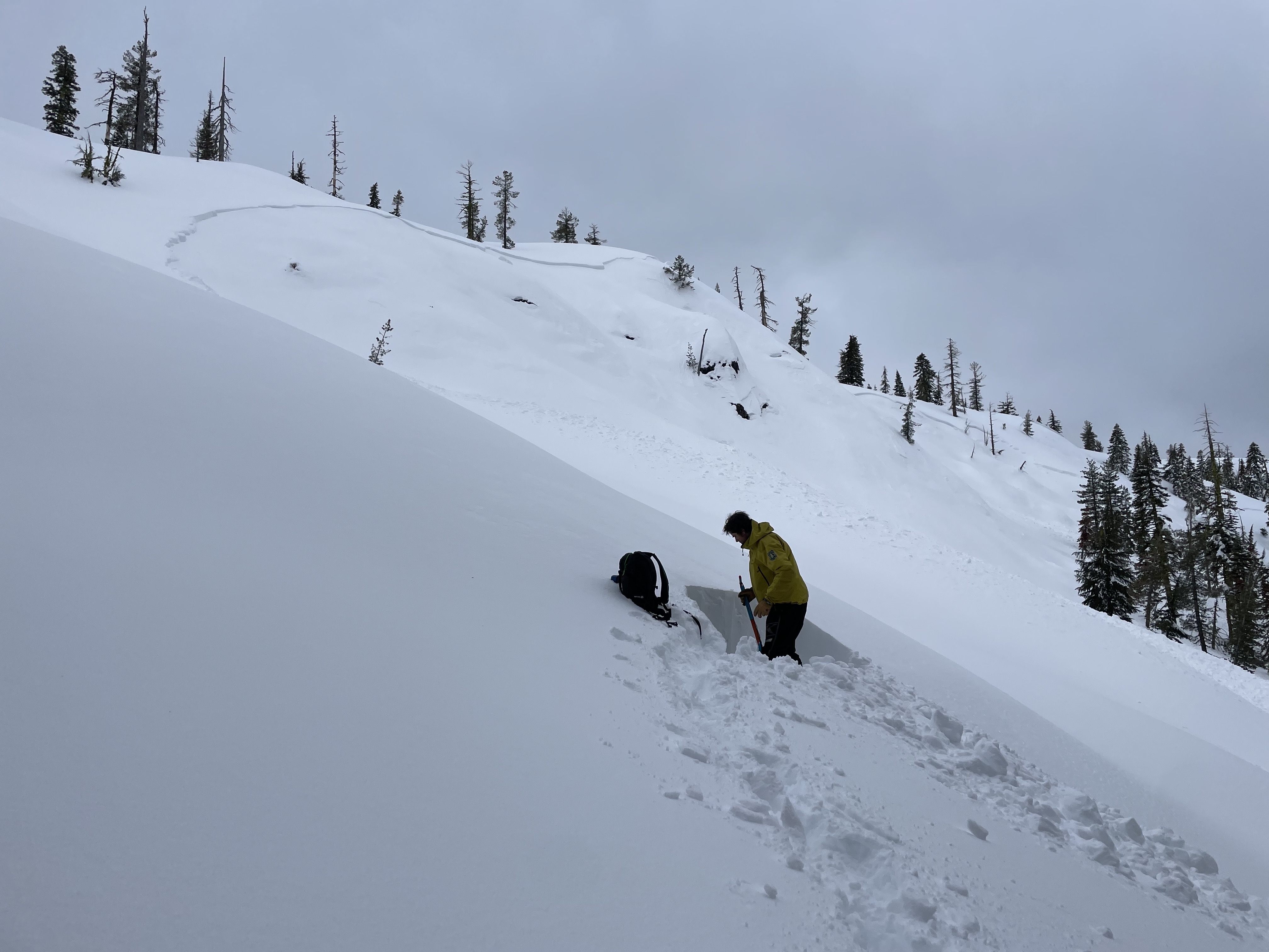
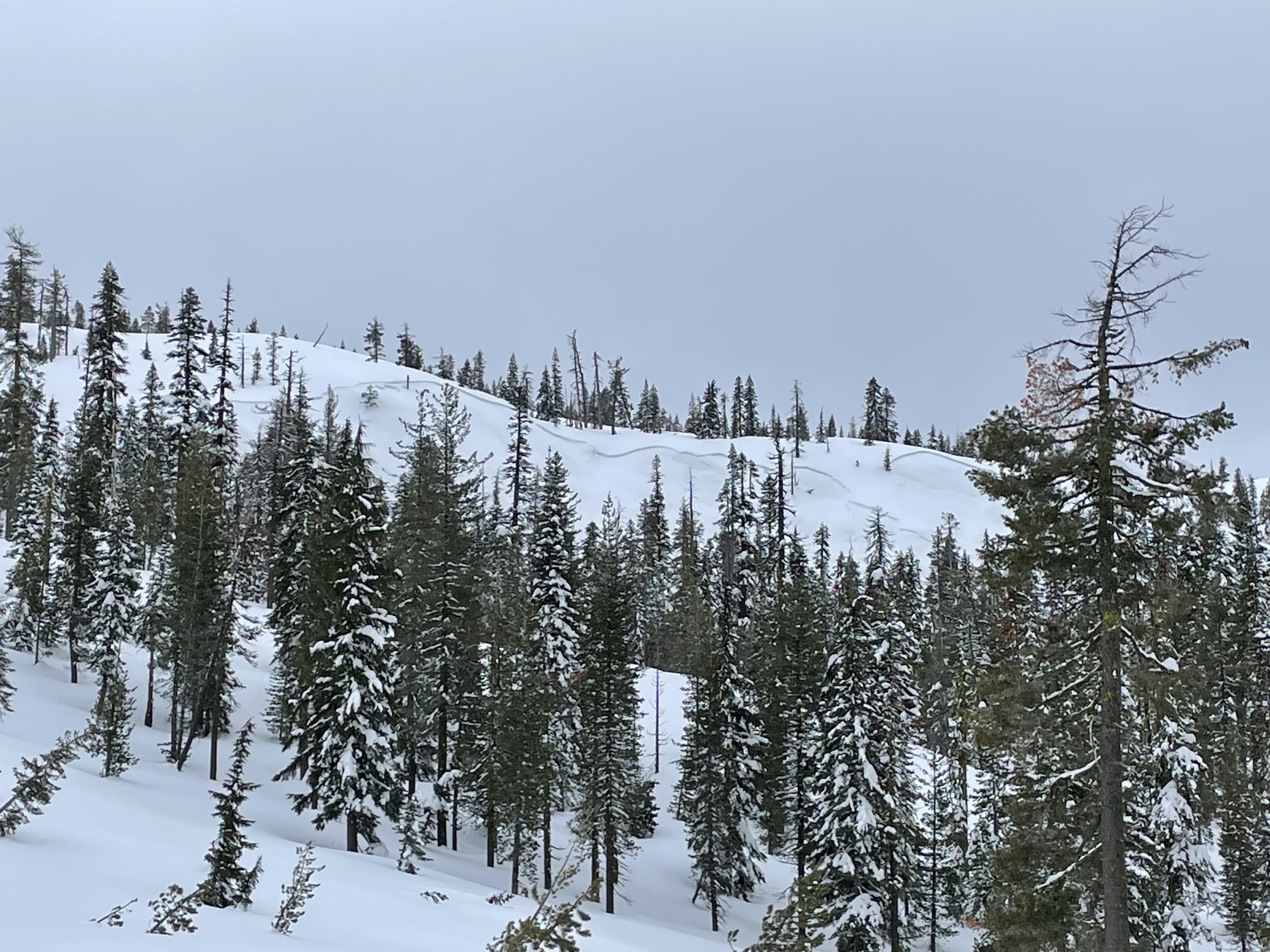
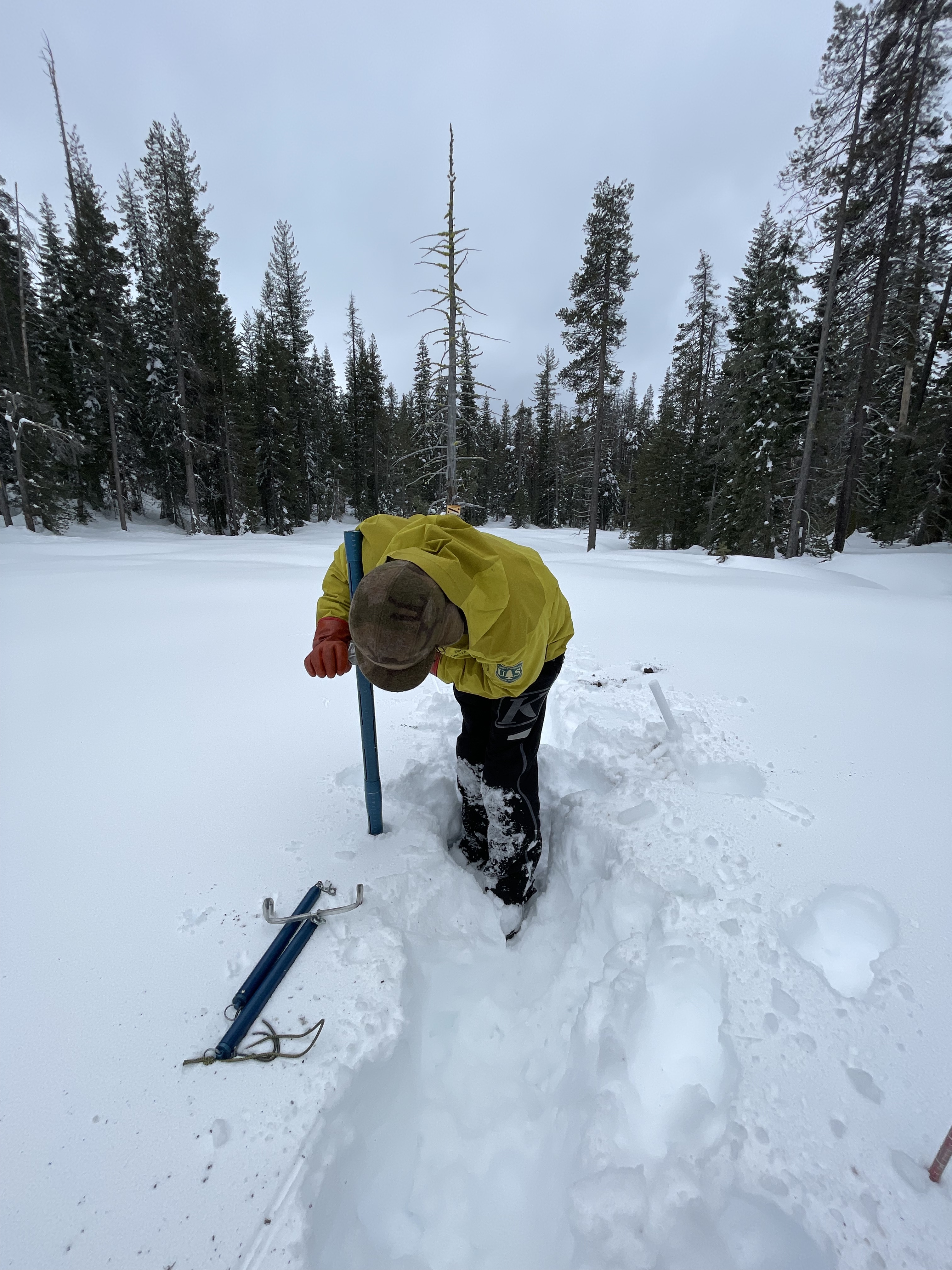
Nick and I found ourselves up in the Mumbo Basin area today to conduct another round of snow surveys at the Whalan and Mumbo sites. Snow depths averaged 145 inches at Whalan Summit and 129 inches in Mumbo Basin. While on our return, we spotted the crown of an avalanche on a northerly aspect just above Upper Mumbo Lake in near treeline terrain. The starting zone was on a mid-slope convexity feature, with little trees and a small rocky knoll. This avalanche likely occurred on Wednesday, when several similar natural avalanches happened across the forecast area. Similarly, the most impressive features from this avalanche is how well it propagated. Maintaining one to three foot depth, this avalanche broke 800 feet wide, wrapping around multiple terrain features, and including almost all avalanche terrain on the slope.
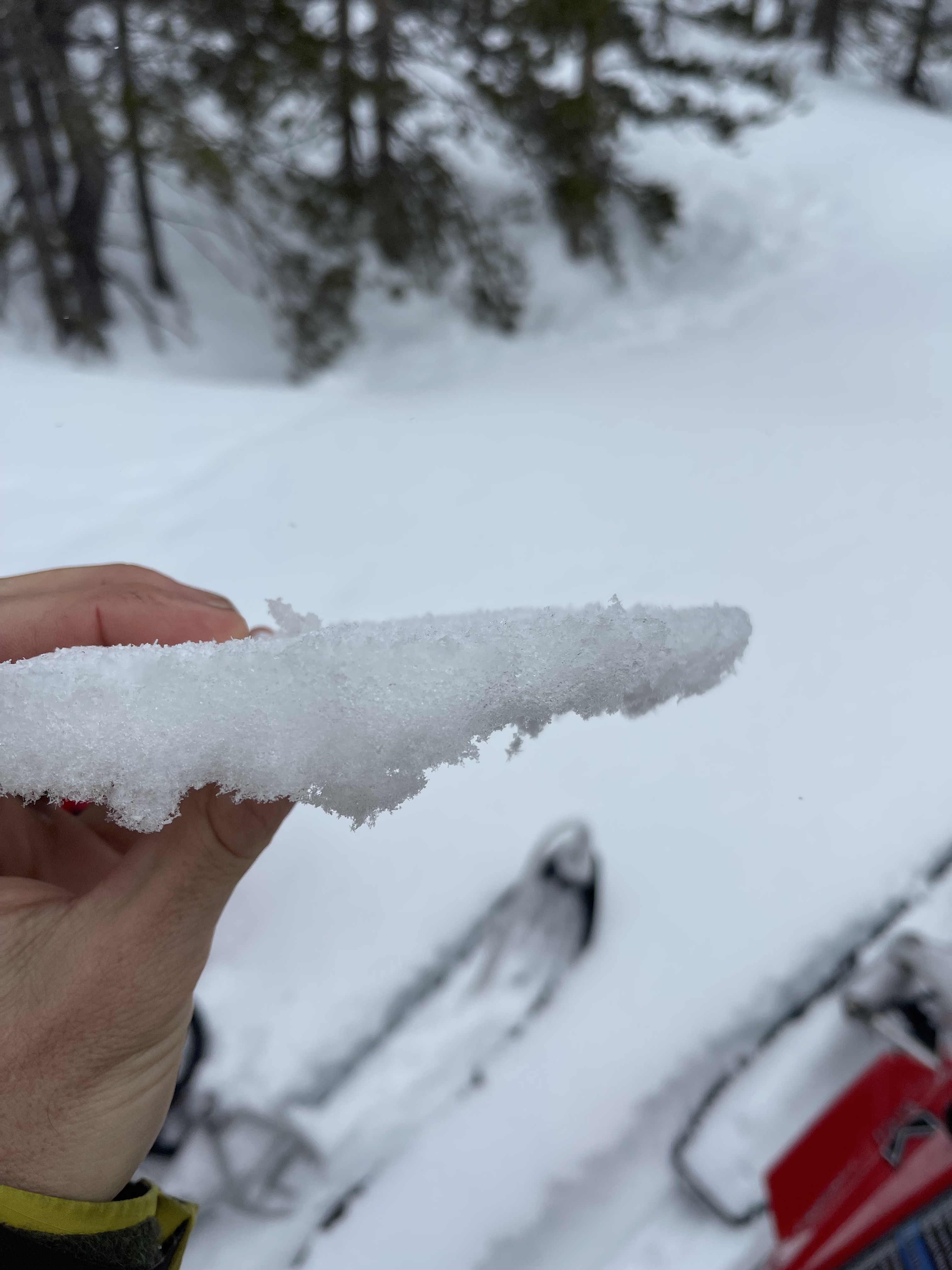
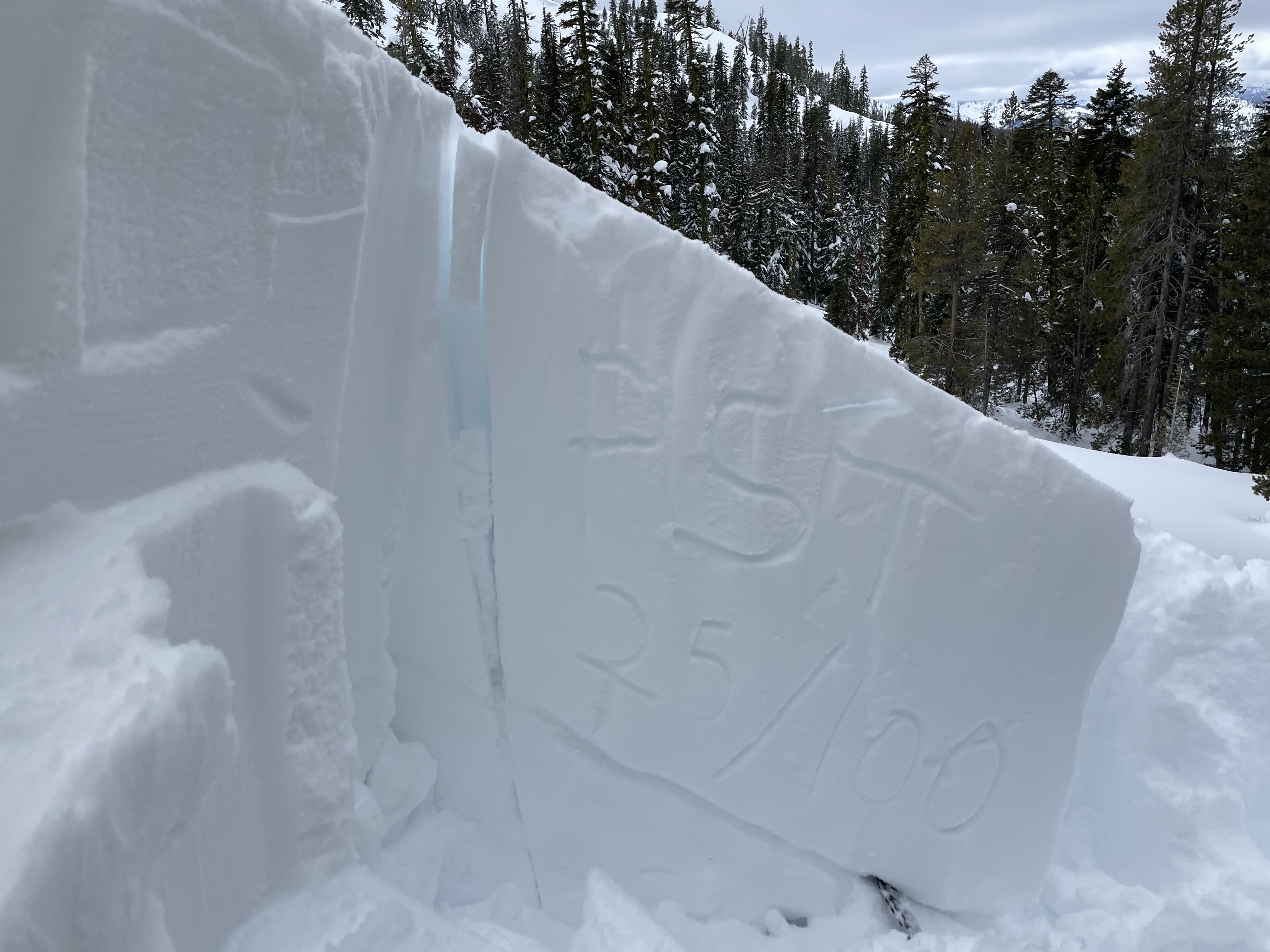
A pit was dug next to the slide path, in representative terrain. Upon deep tap tests, propagation occurred on tap 23 (Q1 -resistant planar) down 75 cm (29 inches). The weak layer appeared as an old graupel layer that is insulated by a melt freeze crust. We tested this weak layer with a propagation saw test, which resulted in a 25/100. To sum it up, this layer is currently stubborn to trigger, however shows excellent propagation under failure. Under magnified inspection, this layer appears to be showing signs of healing. This weak layer is the same layer deemed the culprit for the multiple avalanche in the Eddy Mountains earlier this week, including this one.
Observations from the day:
Observers remained below treeline throughout the day, with a max elevation of 6,500 feet. Precipitation fell in the form of rain down low, transitioning to snow around 4,000 feet. Winds remained calm to light out of the southwest. The sky was fully obscured through the outing. Snow surface conditions varied based on elevation. At low elevations, we found heavy, saturated snow with abundant rain runnels. Above the snow line, we found widespread surface crust with deep, soft snow underneath. Except for the Mumbo Basin avalanche, no other signs of snowpack instability were observed today.
DATA CODE: SS-N-D2-R3