

You are here
Avalanche Forecast for 2021-02-06 06:13
- EXPIRED ON February 7, 2021 @ 6:13 amPublished on February 6, 2021 @ 6:13 am
- Issued by Nick Meyers - Shasta-Trinity National Forest
Bottom Line
Northwest flow is in long term parking. While not as strong today, expect more wind near and above treeline. Priority caution should be directed toward wind loaded terrain that experiences more moderate wind speeds. Unstable slabs of wind drifted snow could exist. Avoid wind slabs, especially in steeper terrain as human triggered avalanches remain possible.
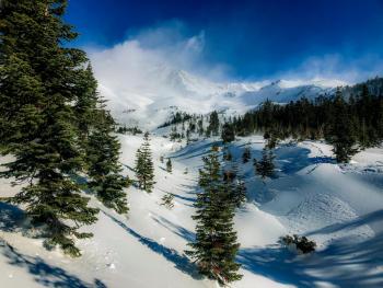
Alpine terrain is blasted and firm conditions are likely with plenty of exposed rock.


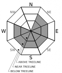
Avalanche Problem 1: Wind Slab
-
Character ?

-
Aspect/Elevation ?
-
Likelihood ?CertainVery LikelyLikelyPossible
 Unlikely
 -
Size ?HistoricVery LargeLargeSmall

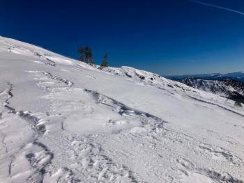
Yesterday, the northwesterlies gave us a doozy of a blow. There will be less snow available for wind transport today. Still, stay watchful for lingering wind slabs in those less obvious areas where the wind snuck into inconspicuous terrain near and below treeline making for more moderate wind speeds and better wind loading. Many exposed areas above treeline were completely blasted and the salt and pepper look of Mount Shasta is evidence of this. These wind blasted areas will be of less concern as much of the snow simply blew away. While wind slab sensitivity to trigger is improving, I still suspect lurking wind slabs that could be human triggered in steep terrain. Continue to be mindful for large and potentially fragile cornices as well. Identify terra firma and stick to it!
Forecast Discussion
It's the classic 'moderate' danger situation, a couple of days after a storm and following winds. The sun has been out and most southerly facing slopes have stabilized well. Despite northerly wind, be mindful for funky wind loading patterns that may have occurred on those cold, northerly aspects. Those areas are the leading suspects in the avalanche danger game. Overall, the avalanche danger will diminish with sunny days ahead.
The Everitt Memorial Highway is open. Castle Lake road remains closed.
Companion Rescue today, Saturday. Meet at The Fifth Season in Mt Shasta City at 9am, or Bunny Flat at 9:15. This event is free and does not require registration.
Recent Observations
- Get your appetite ready for a smorgasbord of snow surface conditions. Shasta variable is in full effect. Expect firm, wind blown/wind packed powder, scoured old snow surfaces, soft powder, breakable crusts and maybe some corn snow forming up. This will all be dictated by your aspect and elevation.
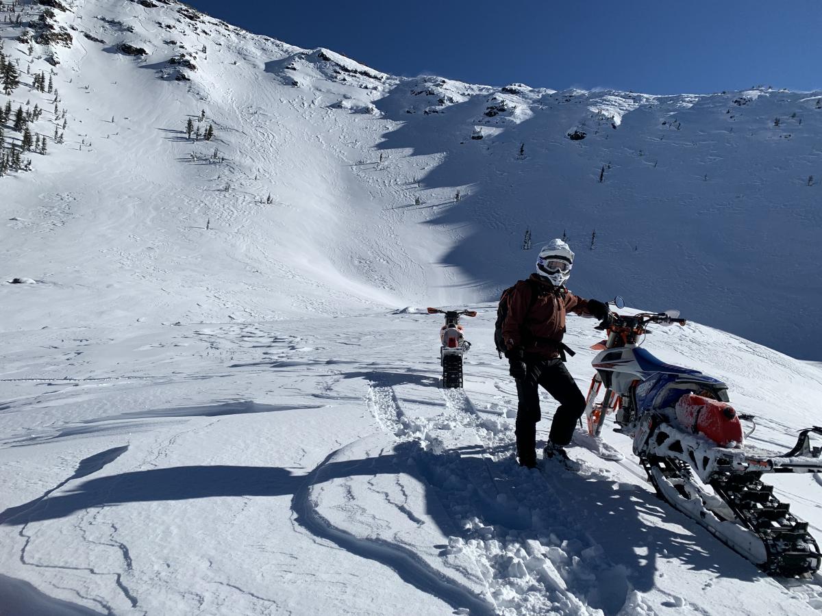
- Near and above treeline, the northwest wind laid waste yesterday. Spin drift and snownadoes could be seen from many miles away, streaming off ridge lines.
- We don't think the numbers lie from our bomber Phil Taylor heated anemometer on Gray Butte, which recorded a max gust of 98 mi/hr. Wind speeds this high are not often seen at this location. Alpine terrain on the mountain was nuclear.
- Backcountry users from Mt Shasta, Ash Creek Butte and Eddies all reported high wind and a lot of wind loading onto southerly facing slopes.
- No natural or human triggered avalanches were observed.
- The area has received no new snow since 2.3.21
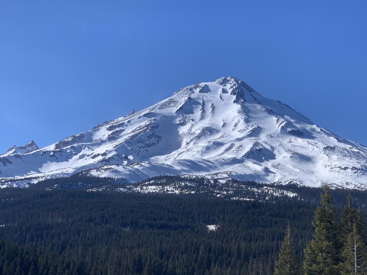
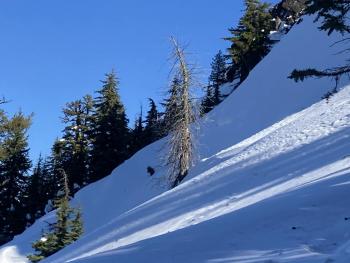
Mt. Shasta's east side from the Ash Creek Butte area on 2.6.21. Snow depth measures 57 inches at 7,300 feet, near treeline. Northwest wind was predominant over all terrain yesterday.
Crater Bowl, Ash Creek Butte area via Pilgrim Creek Sno-Park.

Weather and Current Conditions
Weather Summary
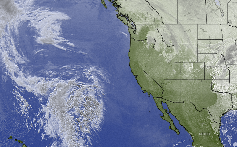
Northwest flow is here to stay beneath blue sky. Once again, the forecast calls for strong NW wind over higher terrain today. Not quite as hurricane like as yesterday, but nonetheless still blowing. Elsewhere, the predominant conditions through the weekend will be night and morning low clouds with patches of fog in the valleys. High temperatures will be near normal and low's below normal. From Thursday the 11th through the weekend looks like our next best chance at wet, windy and wintry weather. Until then, settle in!
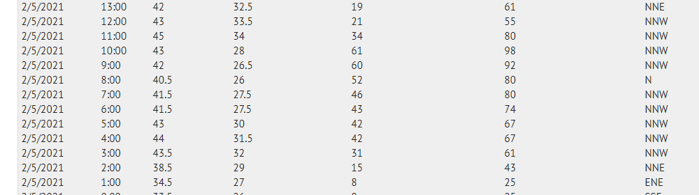
24 Hour Weather Station Data @ 4:00 AM
| Weather Station | Temp (°F) | Wind (mi/hr) | Snow (in) | Comments | ||||||||
|---|---|---|---|---|---|---|---|---|---|---|---|---|
| Cur | Min | Max | Avg | Avg | Max Gust | Dir | Depth | New | Water Equivalent | Settlement | ||
| Mt. Shasta City (3540 ft) | 32 | 28 | 44 | 35 | 3 | var | ||||||
| Sand Flat (6750 ft) | 25 | 25 | 42 | 32 | ||||||||
| Ski Bowl (7600 ft) | 34.5 | 33.5 | 50.5 | 40.5 | 74.5 | 0 | 0 | 0 | ||||
| Gray Butte (8000 ft) | 37 | 33.5 | 45 | 38.5 | 18 | 98 | NNW | |||||
| Castle Lake (5870 ft) | 37 | 29 | 37 | 32.5 | 70.4 | 2.8 | 0 | |||||
| Mount Eddy (6509 ft) | 39.5 | 33 | 39.5 | 36.5 | 3 | 9 | SE | 66.7 | 0 | 1.7 | ||
| Ash Creek Bowl (7250 ft) | 31.5 | 25 | 34 | 29.5 | 56.9 | 0 | 1.1 | |||||
| Ash Creek Ridge (7895 ft) | 29.5 | 22.5 | 30.5 | 28 | 14 | 38 | NW |
Two Day Mountain Weather Forecast
Produced in partnership with the Medford NWS
| For 7000 ft to 9000 ft | |||
|---|---|---|---|
|
Saturday (4 a.m. to 10 p.m.) |
Saturday Night (10 p.m. to 4 a.m.) |
Sunday (4 a.m. to 10 p.m.) |
|
| Weather | Sunny and breezy. | Partly cloudy, breezy. | Sunny |
| Temperature (°F) | 41 | 33 | 40 |
| Wind (mi/hr) | Northwest 10-20 | North/Northwest 10-20 | Northwest 5-15 |
| Precipitation SWE / Snowfall (in) | 0.00 / 0 | 0.00 / 0 | 0.00 / 0 |
| For 9000 ft to 11000 ft | |||
| Saturday | Saturday Night | Sunday | |
| Weather | Sunny and windy. | Partly cloudy and windy. | Sunny and windy. |
| Temperature (°F) | 34 | 27 | 27 |
| Wind (mi/hr) | Northwest 30-40 | Northwest 30-40 | Northwest 30-40 |
| Precipitation SWE / Snowfall (in) | 0.00 / 0 | 0.00 / 0 | 0.00 / 0 |
Season Precipitation for Mount Shasta City
| Period | Measured (in) | Normal (in) | Percent of Normal (%) |
|---|---|---|---|
| From Oct 1, 2025 (the wet season) | 12.60 | 23.48 | 54 |
| Month to Date (since Jun 1, 2026) | 1.16 | 1.21 | 96 |
| Year to Date (since Jan 1, 2026) | 9.02 | 8.27 | 109 |

