

The recent storm this past weekend brought 25-35 inches of new snow to the area. A brief period of graupel on Friday December 9 created a weak layer within this new storm snow. This can be found roughly 30 inches down from the snow surface. Slab avalanches reported over the weekend all failed on this weak layer. Forecasters have continued to monitor this and it's showing signs of strengthening. No new avalanches have been reported occurring since December 11. The highest danger for storm slabs is the 48 hours immediately after the new snowfall. While this graupel layer has shown signs of improving, an avalanche may still be possible in the right terrain. Continue to evaluate the stability of steep slopes today while the new snow continues to settle.
Highlights of recently reported avalanche activity
- December 10, 2022 - A 2-ft deep, 148-ft wide natural slab avalanche (D2/R4) on a NE aspect of Coyote Butte
- December 11, 2022 - A 2-ft deep, 60-ft wide skier triggered slab avalanche (D2/R3) on a west aspect of Gray butte.
- December 11, 2022 - A 8-ft deep, 100-ft wide slab avalanche reported in 3rd Chute at Mt. Ashland Ski Bowl when an artificially triggered 2-3ft deep slab avalanche stepped down to ground level.
- December 12, 2022 - A 1-3 day old slab avalanche was seen by Mt. Shasta Ski Park ski patrol east of the ski park boundary.
- All four reported slab avalanches were big enough to bury, injure, or kill a person.
Expect sunshine and clear skies throughout the day. Temperatures will increase into the upper 20°s F as high pressure settles in over the region. No precipitation is forecasted to arrive until this weekend. Winds should remain calm-to-light near and below treeline. Noteworthy is that our December snowpack is at 100% of normal, setting up a great start to the winter season. Remember to bring sun protection when heading into the mountains today. Snow reflects 80-90% of incoming sunlight and you could get sunburned from both above and below!
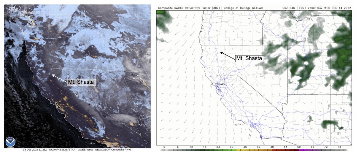
(Left) Satellite imagery showing mostly clear skies in the region. (Right) Forecast models showing mostly sunny weather.
Source: (Left) GOES-W, NOAA (Right) NexLab, College of DuPage, NAM.

