

You are here
Avalanche Forecast for 2021-02-22 06:10
- EXPIRED ON February 23, 2021 @ 6:10 amPublished on February 22, 2021 @ 6:10 am
- Issued by Ryan Sorenson - Mount Shasta Avalanche Center
Bottom Line
Warm temperatures have allowed the snowpack to settle and consolidate. The pesky northwesterly wind will return tonight and continue to scour. High pressure and dry conditions are dominating the forecast this week. Avalanche danger is LOW. Continue to watch for cornice failures or isolated wind slabs on colder shaded aspects or slopes at higher elevations.


Avalanche Problem 1: Normal Caution
-
Character ?

-
Likelihood ?CertainVery LikelyLikelyPossible
 Unlikely
 -
Size ?HistoricVery LargeLargeSmall

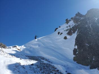
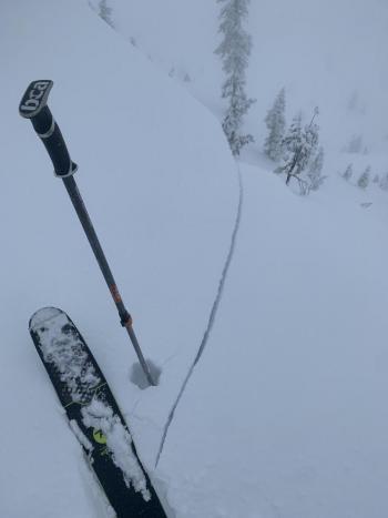
Temperatures have warmed up substantially over the past 24 hours. This has allowed the snowpack to settle and consolidate. Triggering an avalanche is unlikely. Large cornices remain along steep ridgelines. These should be approached with caution. Continue to watch for isolated wind slabs on colder shaded aspects or slopes at higher elevations where areas of drifting snow have occurred. Expect increasing north/northwesterly winds tonight.
Recent Observations
Yesterday was balmy and warm with broken skies with various cloud layers and misty fog. A tour up Gray Butte observed melting and dripping snow from trees. Snow surfaces were soft, moist, and heavy. Large cornices hanging over the steep easterly ridgeline near the top of the butte was the only concern for avalanche danger.
- Temperatures at our Gray Butte weather station have maxed out at 37° F at 4 a.m. this morning. The low was 19° F at 5 a.m. yesterday.
- Winds have been light and variable for the past 24 hours. The average wind speed is 5 mi/hr with gusts to 31 mi/hr.
- Some areas may host breakable crusts, sastrugi, scoured ridgelines, and rocky patches.
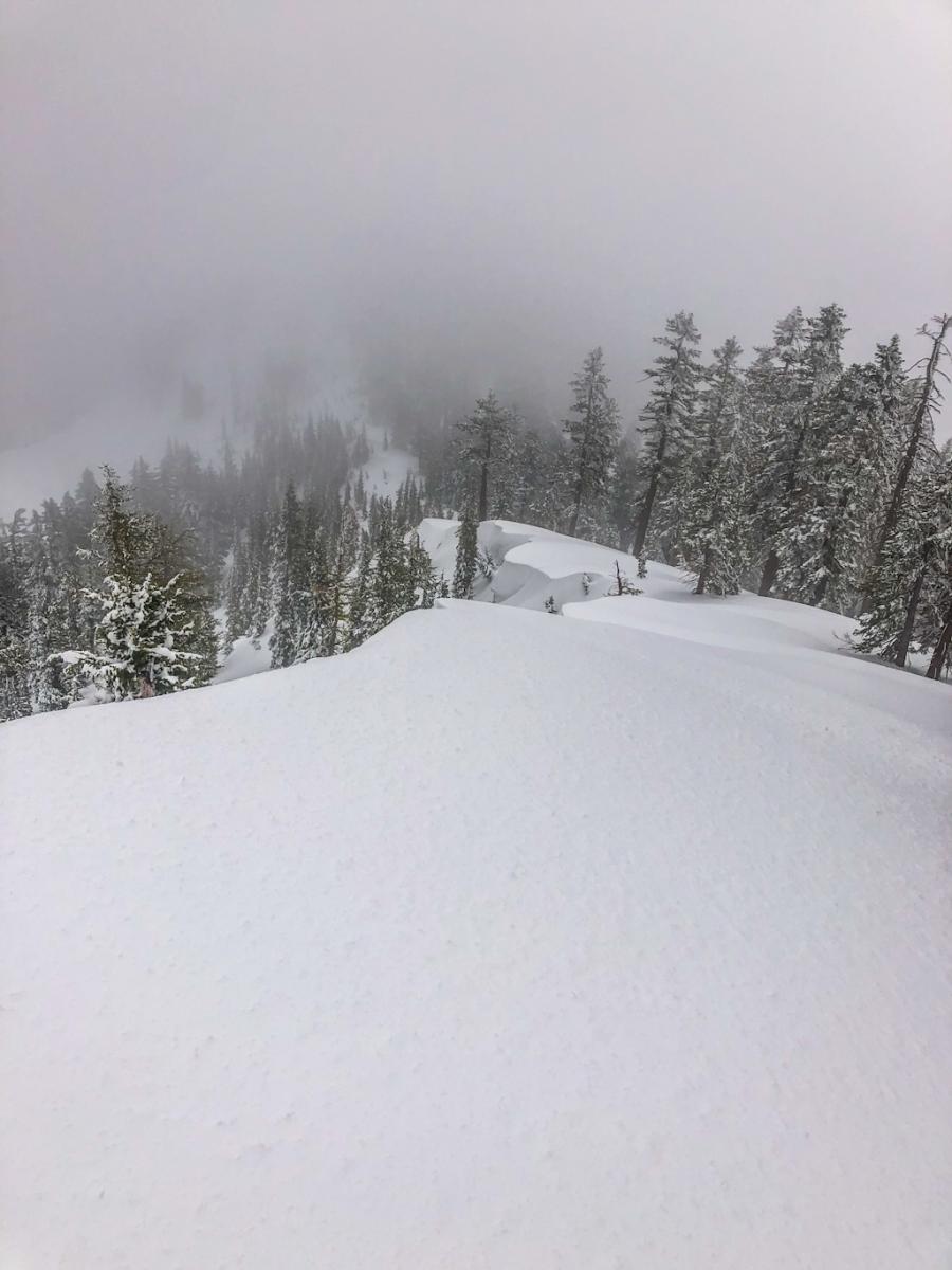
Cornices hanging over east Gray Butte bowl.

Weather and Current Conditions
Weather Summary
A high-pressure ridge moved over Northern California and will block any precipitation from reaching south of the California/Oregon border. Expect mostly clear skies with a few scattered clouds/fog hanging at various altitudes. Northerly winds will remain light today. There is a large north-south variation in atmospheric heights across the west coast, which means the northwesterly flow will kick back in and cause strong winds over the next few days. Our next shot at precipitation is on Saturday, though the models show little available moisture at this time.
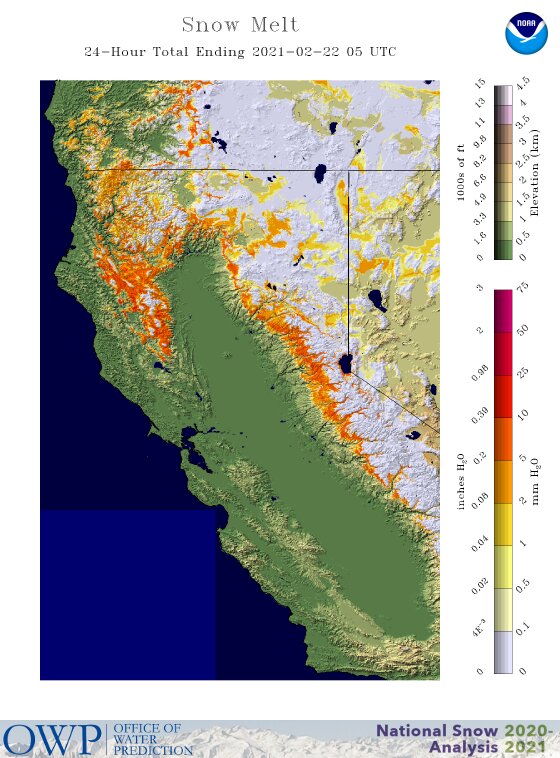
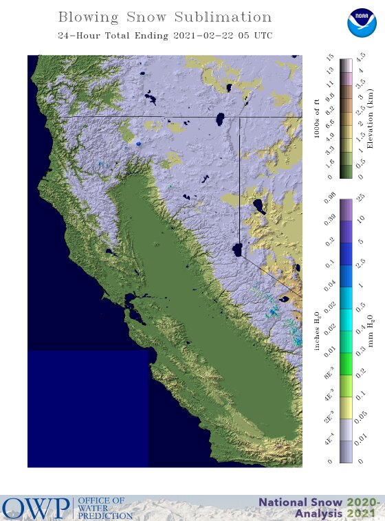
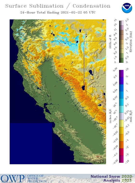
Maps developed by the National Weather Service's National Operational Hydrologic Remote Sensing Center. Click here for more.
24 Hour Weather Station Data @ 5:00 AM
| Weather Station | Temp (°F) | Wind (mi/hr) | Snow (in) | Comments | ||||||||
|---|---|---|---|---|---|---|---|---|---|---|---|---|
| Cur | Min | Max | Avg | Avg | Max Gust | Dir | Depth | New | Water Equivalent | Settlement | ||
| Mt. Shasta City (3540 ft) | 33 | 31 | 45 | 35.5 | 4 | |||||||
| Sand Flat (6750 ft) | 26 | 18 | 37 | 29 | 0 | 0 | 0 | 0 | ||||
| Ski Bowl (7600 ft) | 35 | 22.5 | 35 | 30.5 | 81.6 | 0 | 0 | 1.9 | ||||
| Gray Butte (8000 ft) | 37.5 | 21.5 | 37.5 | 29.5 | 5 | 31 | SE | |||||
| Castle Lake (5870 ft) | 34.5 | 23.5 | 35.5 | 31.5 | 68 | 0 | 0 | |||||
| Mount Eddy (6509 ft) | 38 | 23.5 | 38 | 32.5 | 3 | 8 | SE | 61.9 | 0 | 0.5 | ||
| Ash Creek Bowl (7250 ft) | 30 | 19 | 31.5 | 27.5 | 59.5 | 0 | 1 | |||||
| Ash Creek Ridge (7895 ft) | 29 | 15.5 | 29 | 24 | 1 | 22 | WSW |
Two Day Mountain Weather Forecast
Produced in partnership with the Medford NWS
| For 7000 ft to 9000 ft | |||
|---|---|---|---|
|
Monday (4 a.m. to 10 p.m.) |
Monday Night (10 p.m. to 4 a.m.) |
Tuesday (4 a.m. to 10 p.m.) |
|
| Weather | Mostly sunny. | Partly cloudy in the evening, then mostly cloudy. | Mostly sunny and breezy. |
| Temperature (°F) | 44 | 26 | 41 |
| Wind (mi/hr) | North 5-10 | Northwest 10-15 | North 10-15 |
| Precipitation SWE / Snowfall (in) | 0.00 / 0 | 0.00 / 0 | 0.00 / 0 |
| For 9000 ft to 11000 ft | |||
| Monday | Monday Night | Tuesday | |
| Weather | Mostly sunny. | Partly cloudy in the evening, then mostly cloudy. | Mostly sunny and breezy. |
| Temperature (°F) | 33 | 28 | 28 |
| Wind (mi/hr) | North 25-30 | Northwest 35-40 | North 50-60 |
| Precipitation SWE / Snowfall (in) | 0.00 / 0 | 0.00 / 0 | 0.00 / 0 |
Season Precipitation for Mount Shasta City
| Period | Measured (in) | Normal (in) | Percent of Normal (%) |
|---|---|---|---|
| From Oct 1, 2025 (the wet season) | 13.58 | 27.60 | 49 |
| Month to Date (since Jul 1, 2026) | 2.14 | 5.33 | 40 |
| Year to Date (since Jan 1, 2026) | 10.00 | 12.39 | 81 |

