

You are here
Avalanche Forecast for 2021-02-28 05:30
- EXPIRED ON March 1, 2021 @ 5:30 amPublished on February 28, 2021 @ 5:30 am
- Issued by Ryan Sorenson - Mount Shasta Avalanche Center
Bottom Line
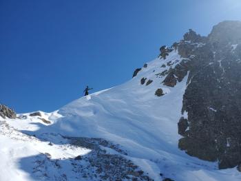
Avalanche danger is low. Snow surfaces are firm and variable. The main concern is a slip or fall on steep icy slopes that terminate into exposed rocky patches. Wear a helmet, and use crampons and an ice axe if climbing the mountain. Watch for falling ice or rocks.


Avalanche Problem 1: Normal Caution
-
Character ?

-
Likelihood ?CertainVery LikelyLikelyPossible
 Unlikely
 -
Size ?HistoricVery LargeLargeSmall

Compacting winds and a week of diurnal freeze-thaw cycles have settled and consolidated the snowpack. Triggering an avalanche is unlikely. The main hazard today is the potential for long sliding falls on firm icy surfaces. Be willing to step back into safer terrain if conditions warrant. An ice axe, crampons, and a helmet are necessary if climbing at higher elevations. Falling rocks or ice on the upper mountain is probable due to gusty northeasterly wind today.
Forecast Discussion
A Level I avalanche course is being offered March 5-7 through College of the Siskiyous. Click here for more info.
Recent Observations
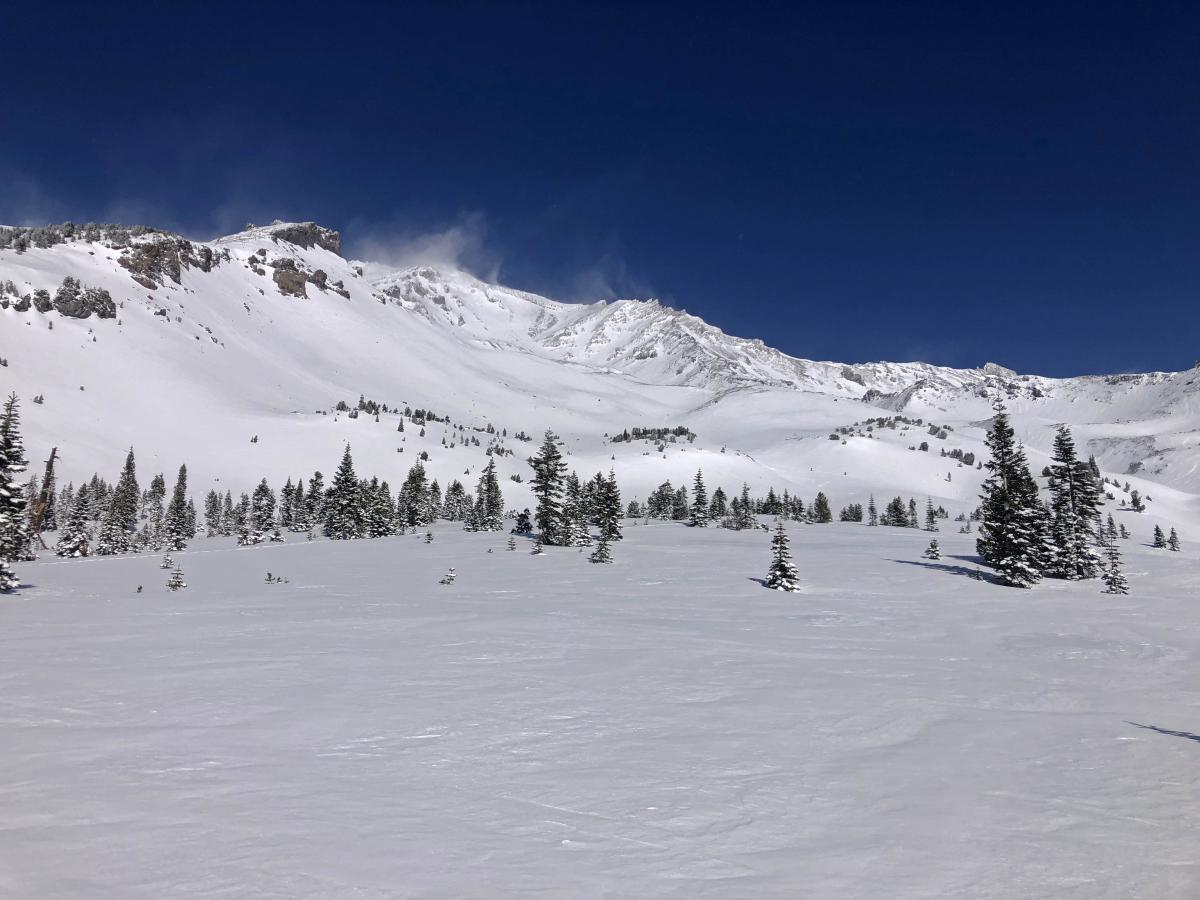
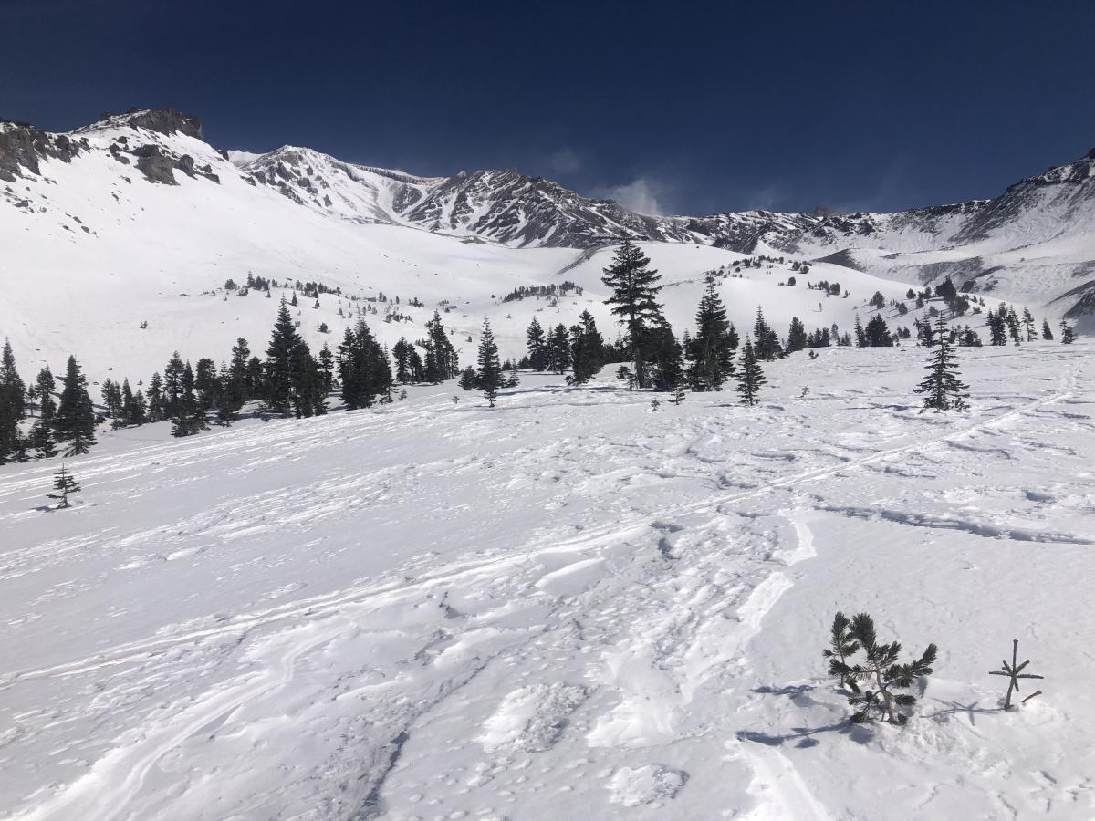
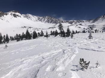
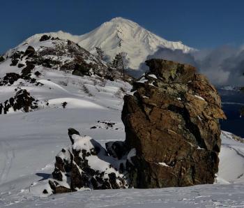
Powerful northwest winds pummeled the mountain yesterday. Large plumes of blowing snow were streaming from the upper mountain. Snow surfaces are a mixed bag of textures. Below treeline host breakable melt-freeze crusts in protected areas. Firm supportable surfaces dominate as well as chalky previously wind-transported snow. Near and above treeline terrain is very wind affected and largely scoured. Firm windboard and sculpted sastrugi features exist on the ribbons that are left. More snow is remaining at lower elevations. Below is a comparison of Avalanche Gulch before and after the wind events this week.
 |
 |

Weather and Current Conditions
Weather Summary
Dry and windy conditions continue today, though not as windy as yesterday. The temperature will be warmer as well. Expect highs in the lower to mid-40s ℉. A storm off the cost will split into two and completely miss us on Monday. This will cause a shift to southerly winds this week. High-pressure persists with warm days and cool nights. We will have a chance of snow on Friday and throughout the weekend. Unfortunately, the majority of these storms will miss us again, drat.
24 Hour Weather Station Data @ 4:00 AM
| Weather Station | Temp (°F) | Wind (mi/hr) | Snow (in) | Comments | ||||||||
|---|---|---|---|---|---|---|---|---|---|---|---|---|
| Cur | Min | Max | Avg | Avg | Max Gust | Dir | Depth | New | Water Equivalent | Settlement | ||
| Mt. Shasta City (3540 ft) | 36 | |||||||||||
| Sand Flat (6750 ft) | 20 | 20 | 37 | 25 | 0 | 0 | 0 | 0 | Snow sensor down | |||
| Ski Bowl (7600 ft) | 22.5 | 19 | 36 | 25.5 | 72 | 0 | 0 | 2.9 | ||||
| Gray Butte (8000 ft) | 24.5 | 20.5 | 33.5 | 25.5 | 20 | 92 | N | |||||
| Castle Lake (5870 ft) | 21 | 20 | 32.5 | 24.5 | 63.2 | 0 | 1.6 | |||||
| Mount Eddy (6509 ft) | 27.5 | 19.5 | 28 | 24 | 4 | 10 | SE | 58.9 | 0 | 0.3 | ||
| Ash Creek Bowl (7250 ft) | 22 | 16 | 28.5 | 20.5 | 57 | 0.2 | 0 | |||||
| Ash Creek Ridge (7895 ft) | 18 | 12.5 | 18.5 | 16 | 9 | 31 | WNW |
Two Day Mountain Weather Forecast
Produced in partnership with the Medford NWS
| For 7000 ft to 9000 ft | |||
|---|---|---|---|
|
Sunday (4 a.m. to 10 p.m.) |
Sunday Night (10 p.m. to 4 a.m.) |
Monday (4 a.m. to 10 p.m.) |
|
| Weather | Sunny | Mostly clear. | Sunny |
| Temperature (°F) | 43 | 24 | 40 |
| Wind (mi/hr) | Northeast 5-10 | East 5-10 | South 10-15 |
| Precipitation SWE / Snowfall (in) | 0.00 / 0 | 0.00 / 0 | 0.00 / 0 |
| For 9000 ft to 11000 ft | |||
| Sunday | Sunday Night | Monday | |
| Weather | Sunny. Breezy. | Mostly clear. | Sunny. |
| Temperature (°F) | 31 | 25 | 25 |
| Wind (mi/hr) | North 35-40 | Southeast 10-15 | South 25-30 |
| Precipitation SWE / Snowfall (in) | 0.00 / 0 | 0.00 / 0 | 0.00 / 0 |
Season Precipitation for Mount Shasta City
| Period | Measured (in) | Normal (in) | Percent of Normal (%) |
|---|---|---|---|
| From Oct 1, 2025 (the wet season) | 13.58 | 29.23 | 46 |
| Month to Date (since Jul 1, 2026) | 2.14 | 6.96 | 31 |
| Year to Date (since Jan 1, 2026) | 10.00 | 14.02 | 71 |

