

You are here
Avalanche Forecast for 2021-03-20 06:17
- EXPIRED ON March 21, 2021 @ 6:17 amPublished on March 20, 2021 @ 6:17 am
- Issued by Nick Meyers - Shasta-Trinity National Forest
Bottom Line
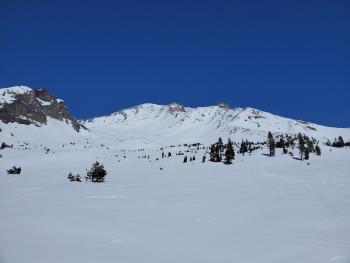
For the majority of the forecast area, the avalanche danger is low and normal caution is advised. Watch for unstable wind slabs on isolated terrain features in steep, extreme terrain...and welcome to Spring!


Avalanche Problem 1: Normal Caution
-
Character ?

-
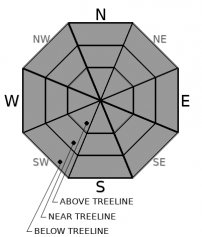
Aspect/Elevation ?
-
Likelihood ?CertainVery LikelyLikelyPossible
 Unlikely
 -
Size ?HistoricVery LargeLargeSmall

This weekend should bring a mix of lingering showers, wind, sun and clouds. Use normal caution today traveling in the backcountry. Watch for shallow and isolated wind slabs along the crests of steep ridges, bowls and couloirs. If enough spring sun shines through, you might see a few small wet loose avalanches on sun-exposed slopes. Always travel one at a time in avalanche terrain, carry a beacon/shovel/probe and most importantly, know how to use it!
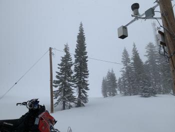
Recent Observations
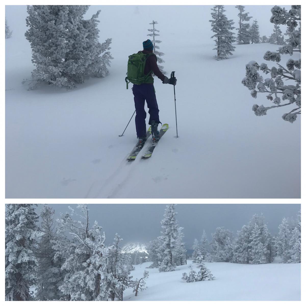
Yesterday brought mixed clouds and sun, cold temps, snow flurries and wind in some areas. Cloud cover on Mt. Shasta lingered near 9,000 feet with some donut holes of open sky here and there.
- Wind out of the W/NW was inconsistent on Mt. Shasta but reported to be very windy over in the Castle Lake area. Not much wind transport of recent new snow was observed.
- 4-6 inches of fresh(ish) snow from 3-18 sits on a solid, supportable crust.
- More snow exists in depressions and on leeward W/NW slopes, 6-14 inches.
- Soft, old powder snow still lingers on colder, northerly aspects.
- Isolated wind slabs exist but not widespread and did not display significant cracking/instability.
- Above treeline, ridges are almost scoured to old crusty snow. In some areas, it is scoured completely to the old, icy snow surface.
- Overall, no major signs of unstable snow.
Weather and Current Conditions
Weather Summary
Scattered showers are possible today with new snow accumulation less than 1 inch. Overall, it should be a pretty nice day with light wind in most places (windy on the upper mountain) and sun shining down from the sky above. It's the first day of Spring! There is a chance of snow on Sunday night and Monday, but nothing to get excited about. High pressure will build into next week.
24 Hour Weather Station Data @ 3:00 AM
| Weather Station | Temp (°F) | Wind (mi/hr) | Snow (in) | Comments | ||||||||
|---|---|---|---|---|---|---|---|---|---|---|---|---|
| Cur | Min | Max | Avg | Avg | Max Gust | Dir | Depth | New | Water Equivalent | Settlement | ||
| Mt. Shasta City (3540 ft) | 31 | 31 | 48 | 39 | 2 | N | ||||||
| Sand Flat (6750 ft) | 20 | 19 | 33 | 27 | Snow sensor down | |||||||
| Ski Bowl (7600 ft) | 16.5 | 16.5 | 28.5 | 22 | 89.3 | 0 | 0.01 | 1 | ||||
| Gray Butte (8000 ft) | 15 | 15 | 27 | 21.5 | 10 | 37 | W | |||||
| Castle Lake (5870 ft) | 21.5 | 21.5 | 44.5 | 30 | 80.8 | 0 | 0.9 | |||||
| Mount Eddy (6509 ft) | 19.5 | 19 | 32 | 26 | 1 | 6 | S | 80.1 | 0 | 1.4 | ||
| Ash Creek Bowl (7250 ft) | 17 | 17 | 26.5 | 23 | 78.1 | 0 | 0.4 | |||||
| Ash Creek Ridge (7895 ft) | 14 | 14 | 23 | 19.5 | 0 | 0 | wind sensor rimed |
Two Day Mountain Weather Forecast
Produced in partnership with the Medford NWS
| For 7000 ft to 9000 ft | |||
|---|---|---|---|
|
Saturday (4 a.m. to 10 p.m.) |
Saturday Night (10 p.m. to 4 a.m.) |
Sunday (4 a.m. to 10 p.m.) |
|
| Weather | Partly cloudy, a few scattered showers, little accumulation, snow level near town. | Partly cloudy becoming mostly clear. | Sunny. |
| Temperature (°F) | 30 | 19 | 36 |
| Wind (mi/hr) | Northwest 5-10 | North 5-10 | North 5-10 |
| Precipitation SWE / Snowfall (in) | 0.01 / 0-0.50 | 0.00 / 0-0.50 | 0.00 / 0 |
| For 9000 ft to 11000 ft | |||
| Saturday | Saturday Night | Sunday | |
| Weather | Scattered showers, mostly sunny and cold. Blustery. | Mostly clear, windy and cold. | Sunny, windy. |
| Temperature (°F) | 8 | 8 | 19 |
| Wind (mi/hr) | Northwest 10-20 | North 10-20 | North 15-25 |
| Precipitation SWE / Snowfall (in) | 0.01 / 0-0.50 | 0.00 / 0 | 0.00 / 0 |
Season Precipitation for Mount Shasta City
| Period | Measured (in) | Normal (in) | Percent of Normal (%) |
|---|---|---|---|
| From Oct 1, 2025 (the wet season) | 17.13 | 33.72 | 50 |
| Month to Date (since Jun 1, 2026) | 3.55 | 4.22 | 84 |
| Year to Date (since Jan 1, 2026) | 13.55 | 18.51 | 73 |

